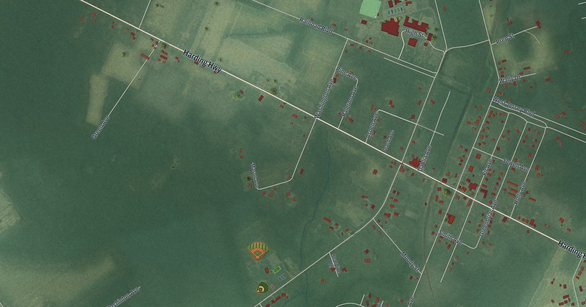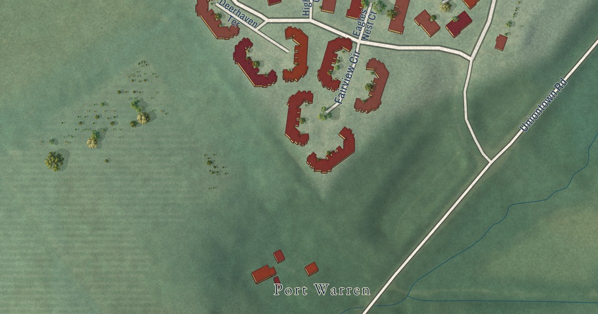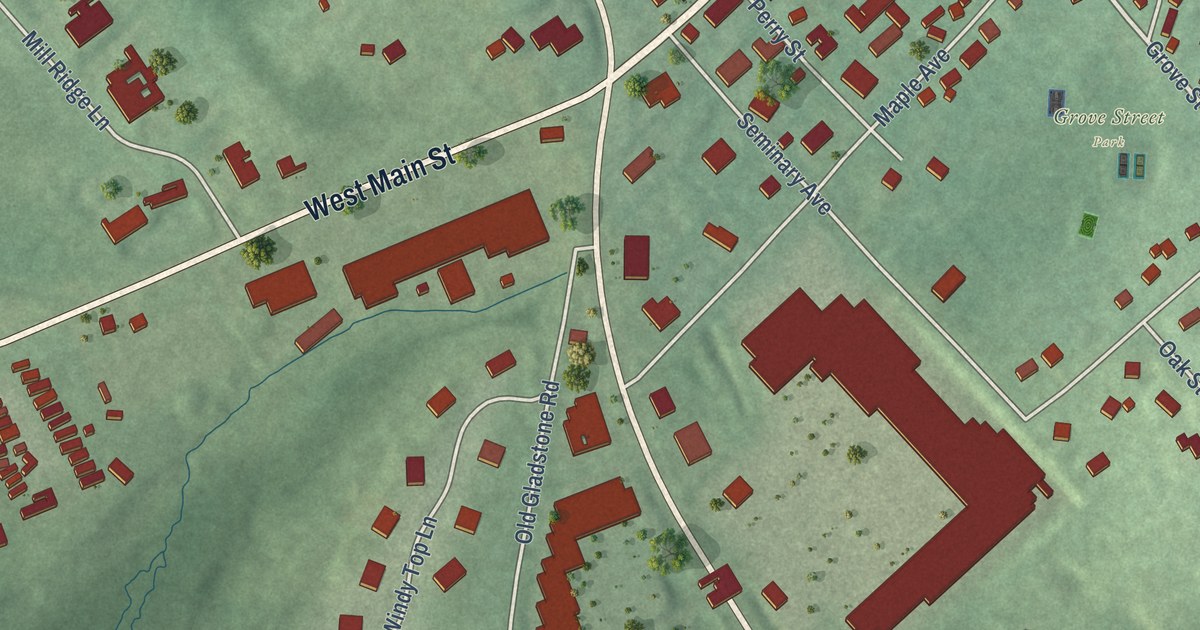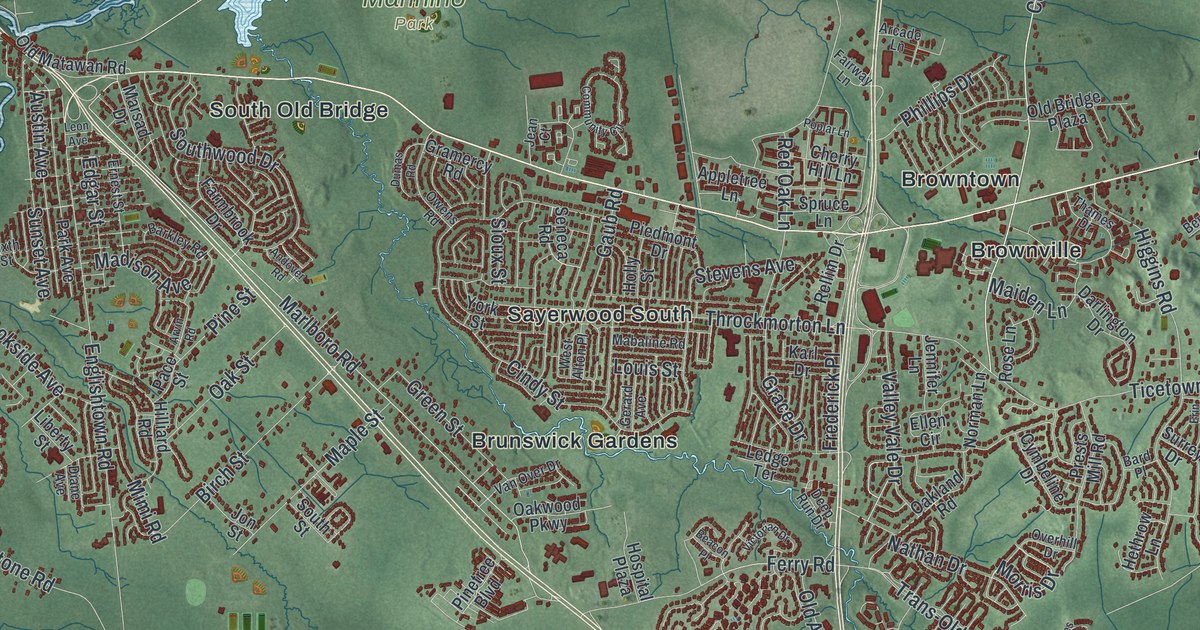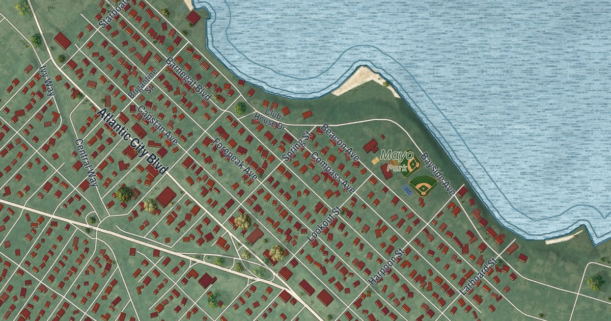
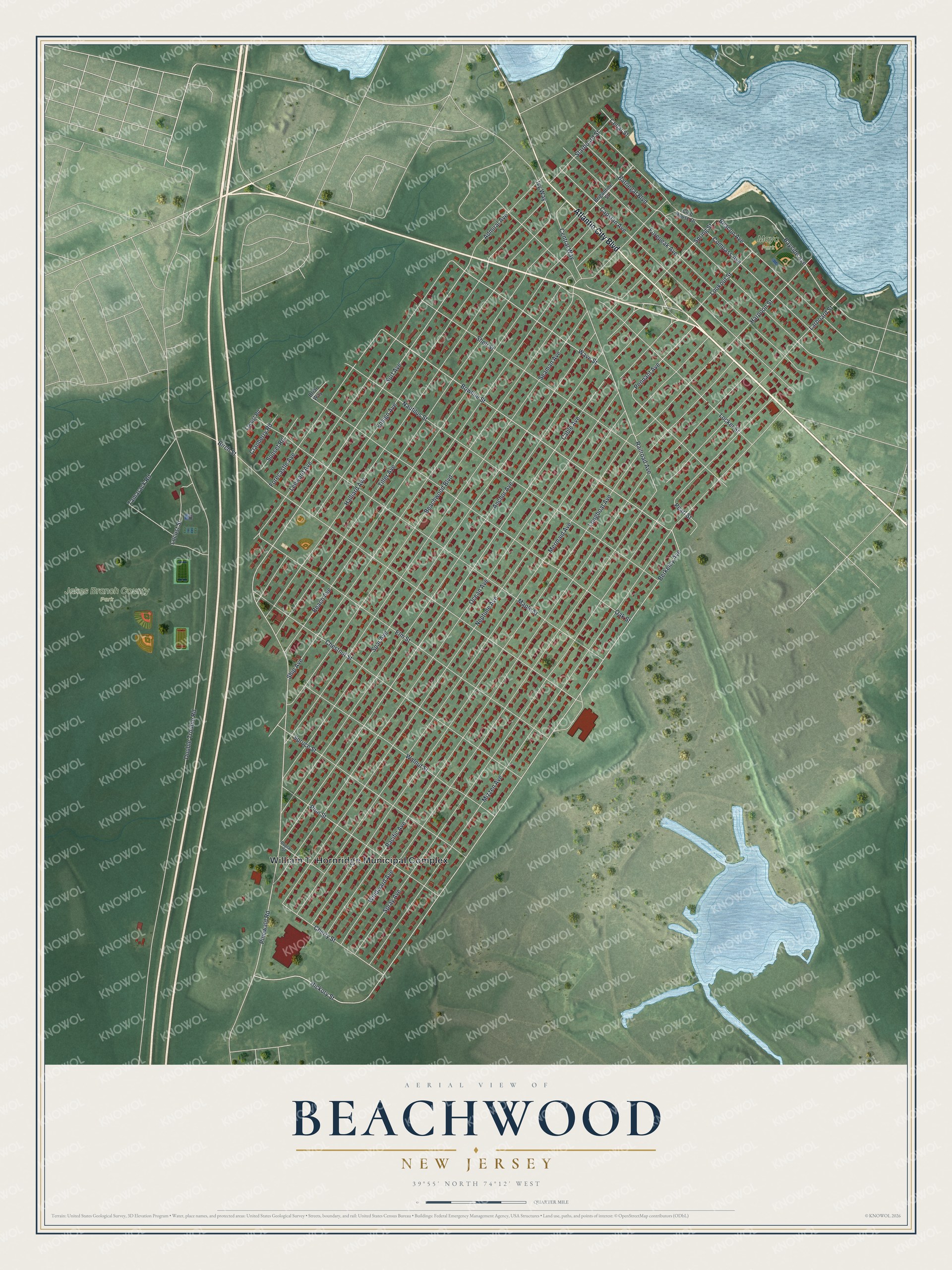
This beautifully detailed map of Beachwood, New Jersey was created in 2026 using aerial imagery combined with modern topographical, census, street and landmark data. It’s a one-of-a-kind view of Beachwood that combines accurate data with a vintage aesthetic. The map shows every building in its true location, many of the roads carry their names, and the shaded topographic relief shows the shape of the land.
Explore an aerial view of Beachwood, New Jersey
On the map you’ll find Jakes Branch County Park and Mayo Park, along with Atlantic City Boulevard, Railroad Avenue, Pennant Avenue, Berkeley Avenue, Bowline Street, Bayside Avenue, Surf Avenue, Pinewald Road, Cable Avenue, Wave Street, and more. If you look closely you can even find your house accurately drawn in its correct location. Zoom in on the preview to look for yours.
Did You Know?
The New-York Tribune’s publishers planned Beachwood in 1914 as a summer colony. Buyers paid 19 dollars and 60 cents for a small lot. They also got six months of the newspaper free. The first residents moved in during April 1915.
Take a closer look at the Beachwood map
Names on this map
These names are printed on this map.
Places: William T. Hornridge Municipal Complex, Jakes Branch County Park and Mayo Park.
Streets and roads: Atlantic City Boulevard, Railroad Avenue, Pennant Avenue, Berkeley Avenue, Bowline Street, Bayside Avenue, Surf Avenue, Pinewald Road, Cable Avenue, Wave Street, Pearl Street, Ivy Way.
More street names, A to Z
Admiral Avenue, Anchor Avenue, Barnegat Boulevard, Beach Avenue, Beachwood Boulevard, Beacon Avenue, Birch Street, Briar Way, Brigantine Street, Capstan Avenue, Cedar Street, Central Way, Cherry Street, Chestnut Street, Club House Drive, Compass Avenue, Cranberry Road, Double Trouble Road, Elm Street, Ensign Avenue, Forecastle Avenue, Forepeak Avenue, Halliard Avenue, Harpoon Street, Hickory Street, Larboard Street, Leeward Avenue, Locker Street, Locust Road, Locust Street, Longboat Avenue, Lookout Street, Maple Street, Mermaid Avenue, Mizzen Avenue, Nautilus Street, Neptune Avenue, Oak Street, Ocean Avenue, Pacific Avenue, Pine Street, Poplar Street, Seaman Avenue, Shell Street, Ship Avenue, Spar Avenue, Spray Avenue, Spring Street, Spruce Street, Starboard Street, Sunset Road, Tamarack Road, Tiller Avenue, Walnut Street, Windward Avenue.
See it on a wall
The Beachwood map as an 18 x 24 inch print in a black frame.

This beautifully detailed map of Beachwood makes an attractive addition to your office, library, or den, and it can even be used to teach children the geography and history of the area. It also makes a great gift for anyone with Beachwood roots. When you’re done exploring, click here to get your copy of the Beachwood map.