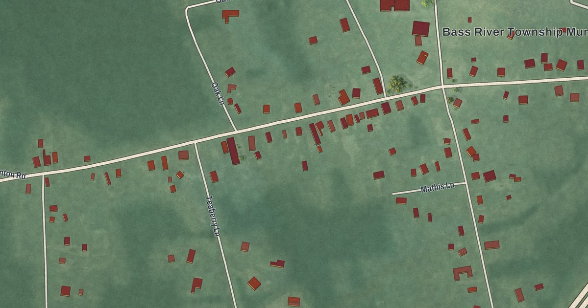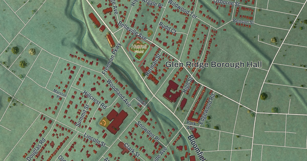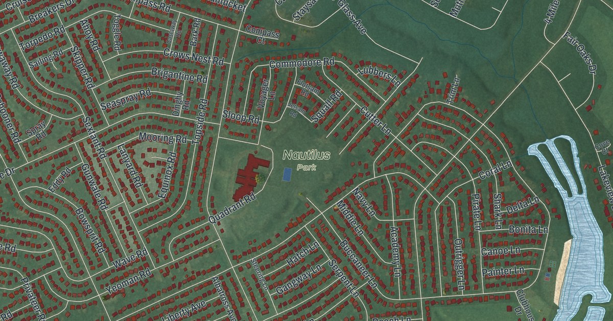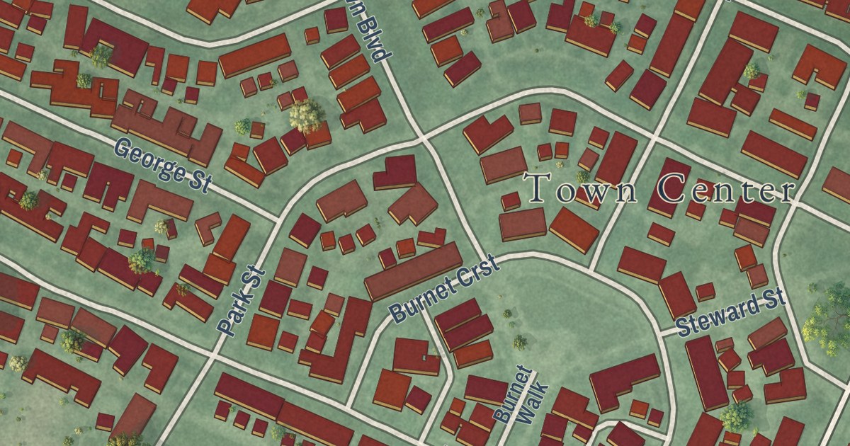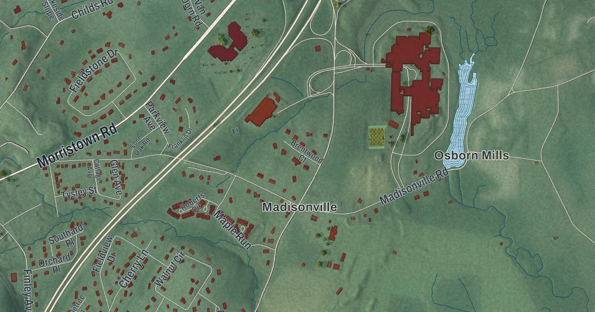
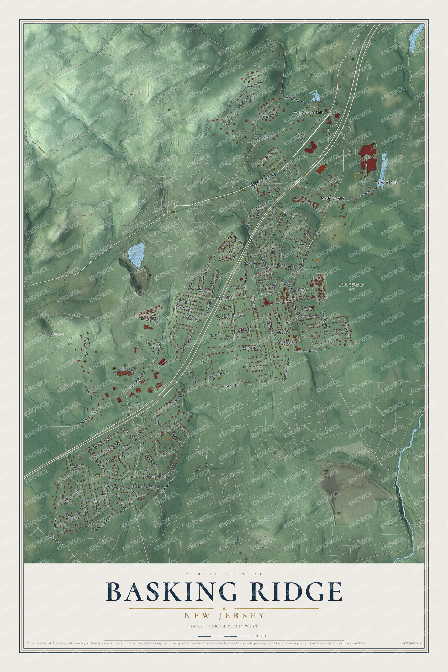
This beautifully detailed map of Basking Ridge, New Jersey was created in 2026 using aerial imagery combined with modern topographical, census, street and landmark data. It’s a one-of-a-kind view of Basking Ridge that combines accurate data with a vintage aesthetic. The map shows every building in its true location, many of the roads carry their names, and the shaded topographic relief shows the shape of the land.
Explore an aerial view of Basking Ridge, New Jersey
On the map you’ll find Lord Stirling Park, Madisonville, Osborn Mills, Pill Hill, and Van Dorans Mills, along with Morristown Road, North Maple Avenue, Childs Road, South Maple Avenue, Mount Airy Road, Brook Avenue, Lake Road, and more. If you look closely you can even find your house accurately drawn in its correct location. Zoom in on the preview to look for yours.
Did You Know?
British Presbyterians fleeing religious persecution settled Basking Ridge in the 1720s. On the morning of December 13, 1776, British troops captured General Charles Lee at Widow White’s tavern here. Lee ranked just below Washington in command. The old village center is now a historic district.
Take a closer look at the Basking Ridge map
Names on this map
These names are printed on this map.
Places: Lord Stirling Park, Madisonville, Osborn Mills, Pill Hill and Van Dorans Mills.
Streets and roads: Morristown Road, North Maple Avenue, Childs Road, South Maple Avenue, Mount Airy Road, Brook Avenue, Lake Road, Old Army Road, Madisonville Road, Spencer Road, Manchester Drive, Old Farm Road.
More street names, A to Z
Allen Street, Annin Road, Appletree Lane, Argyll Way, Ash Street, Autumn Drive, Beech Street, Beechwood Road, Bellegrove Court, Berkeley Circle, Berta Place, Birch Drive, Brandeis Court, Brentwood Court, Bullion Road, Bullion Way, Butternut Lane, Cameron Court, Canter Drive, Cedar Street, Cherry Lane, Chimney Ash Farm Road, Clive Lane, Collyer Lane, Colonial Drive, Concord Lane, Conkling Avenue, Conkling Street, Cottage Avenue, Countryside Drive, Courter Street, Culberson Road, Dawn Drive, Dayton Street, Decker Street, Depot Place, Dogwood Way, Dyckman Place, East Allen Street, East Ash Street, East Craig Street, East Oak Street, Ellis Drive, Eton Place, Evergreen Place, Fairview Drive East, Fairview Drive South, Fieldstone Drive, Fieldview Drive, Finley Avenue, Flintlock Court, Franklin Drive, Galloping Hill Road, Glen Avenue, Granville Way, Grist Mill Drive, Hardscrabble Road, Henry Street, Highview Avenue, Hillside Terrace, Holmesbrook Road, Juniper Way, Kensington Road, Kinnan Way, Lakeside Slope, Launcelot Lane, Laurel Court, Lee Place, Lewis Street, Lexington Road, Lindbergh Lane, Lone Oak Road, Maple Run, Meeker Road, Meeker Road Extended, Melbourne Way, Mine Brook Road, Morrison Street, North Brook Avenue, North Finley Avenue, Oak Hill Road, Oak Ridge Road, Orchard Place, Parkview Avenue, Pine Street, Post Terrace, Prospect Avenue, Queen Anne Drive, Rankin Avenue, Ridge Street, Roberts Circle, South Alward Avenue, Southard Place, South Finley Avenue, Spruce Street, Stacy Lane, Stockmar Drive, Stone Hedge Drive North, Stone Hedge Drive South, Sunnybrook Road, Tanglewood Lane, Trinity Road, Tuxford Terrace, Tysley Street, Vail Terrace, Van Cortland Way, Van Dorn Road, Victoria Drive, Walnut Circle, Washington Avenue, Wayne Terrace, West Craig Street, West Oak Street, Whitenack Road, William Street, Willow Street, Windsor Way, Wisteria Way.
See it on a wall
The Basking Ridge map as an 18 x 24 inch print in a black frame.

This beautifully detailed map of Basking Ridge makes an attractive addition to your office, library, or den, and it can even be used to teach children the geography and history of the area. It also makes a great gift for someone who left Basking Ridge and still calls it home. When you’re done exploring, click here to get your copy of the Basking Ridge map.