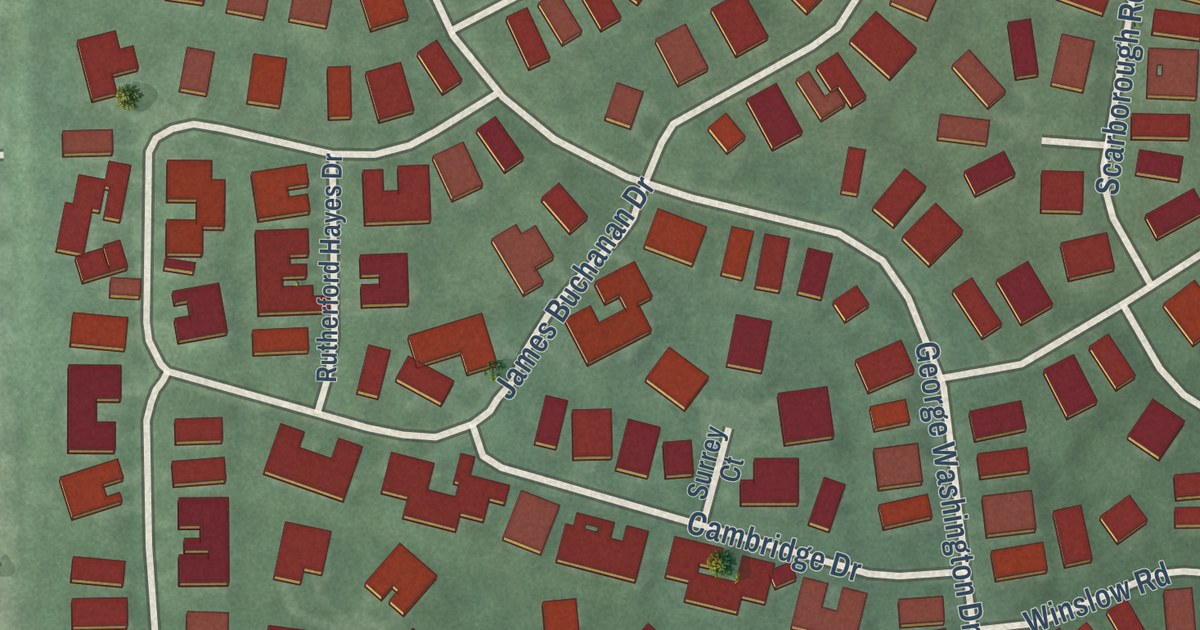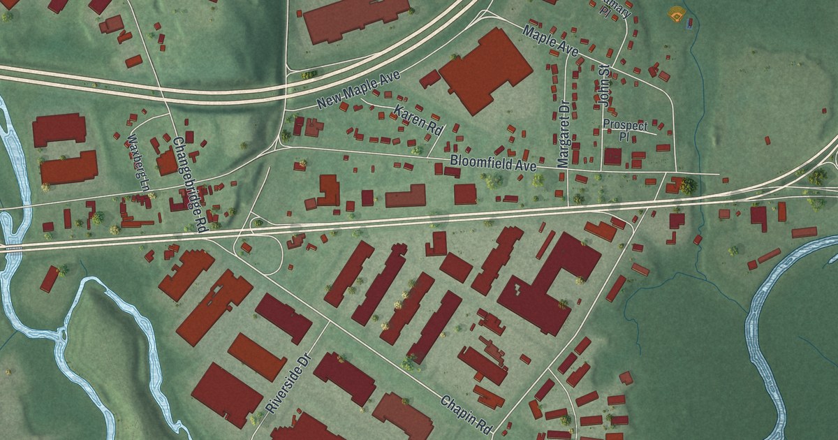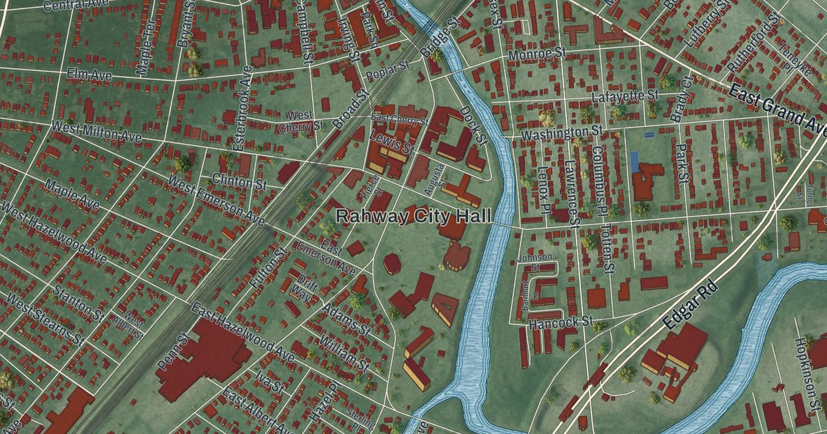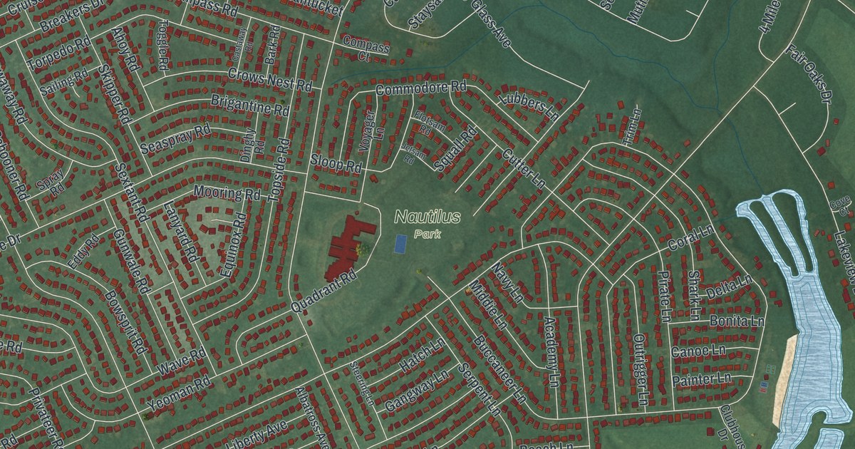
This beautifully detailed map of Ocean Acres, New Jersey was created in 2026 using aerial imagery combined with modern topographical, census, street and landmark data. It’s a one-of-a-kind view of Ocean Acres that combines accurate data with a vintage aesthetic. The map shows every building in its true location, many of the roads carry their names, and the shaded topographic relief shows the shape of the land.
Explore an aerial view of Ocean Acres, New Jersey
On the map you’ll find Nautilus Park, along with Barnegat Road, Atlantic Hills Boulevard, Cloverdale Road, Paramount Escapes Drive, Dylan Boulevard, and more. If you look closely you can even find your house accurately drawn in its correct location. Zoom in on the preview to look for yours.
Did You Know?
Ocean Acres began in the early 1960s. Buyers rode buses out to see the site, and 2,000 lots sold in the first year. A state ban on building west of the Garden State Parkway kept it under 800 homes. After the ban ended in the 1990s, thousands of homes went up.
Take a closer look at the Ocean Acres map
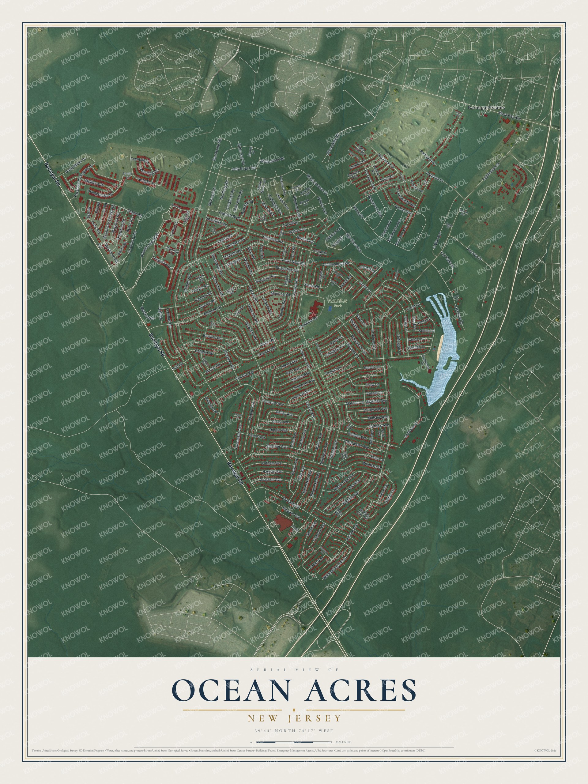
Names on this map
These names are printed on this map.
Places: Nautilus Park and Barnegat Estates.
Streets and roads: Barnegat Road, Atlantic Hills Boulevard, Cloverdale Road, Paramount Escapes Drive, Dylan Boulevard, Nautilus Drive, Lighthouse Drive, Mermaid Drive, Breakers Drive, Buccaneer Lane, Atlantis Avenue, Neptune Drive.
More street names, A to Z
4 Mile Avenue, Academy Lane, Acorn Road, Admiral Avenue, Ahoy Road, Albatross Avenue, Anchor Avenue, Ash Road, Avalon Avenue, Avast Avenue, Bark Road, Barnacle Drive, Barracuda Road, Beach Lane, Beacon Avenue, Bitter End Road, Bluejacket Avenue, Bobstay Road, Bonita Lane, Bosun Avenue, Bounty Court, Bowline Road, Bowsprit Road, Brigantine Road, Bulkhead Avenue, Buoy Avenue, Canal Avenue, Canoe Lane, Cape Cod Avenue, Capsize Avenue, Capstan Avenue, Captain Road, Caribbean Avenue, Castaway Road, Catalina Avenue, Cedar Avenue, Chance Drive, Clearwater Avenue, Clipper Road, Clubhouse Drive, Coast Avenue, Commodore Road, Compass Court, Compass Road, Coral Lane, Cove Court, Cranberry Road, Crest Avenue, Crew Lane, Crown Court, Crows Nest Road, Cruise Road, Cutlass Avenue, Cutter Lane, Cypress Avenue, David Drive, Deerfield Drive, Delta Lane, Dinghy Road, Dock Avenue, Dogwood Road, Dolphin Road, Driftwood Avenue, Dusty Miller Drive, Eddy Road, Elm Road, Equinox Road, Eventide Drive, Fair Oaks Drive, Fairway Drive, Farragut Avenue, Fathom Avenue, Fawcett Boulevard, Firefly Lane, Fir Road, Flipper Avenue, Float Avenue, Flotsam Road, Forecastle Avenue, Foremast Avenue, Freeboard, Fullrigger Avenue, Gaff Road, Galleon Road, Galley Avenue, Gangway Lane, Golfview Drive, Gulf Court, Gunwale Road, Half-Hitch Road, Harpoon Drive, Hatch Lane, Hawser Avenue, Highland Drive, Honeysuckle Drive, Hopper Avenue, Hospital Drive, Hudson Avenue, Hull Road, Inboard Avenue, Inlet Avenue, Ivy Road, Jetsam Road, Jigger Drive, Jolly Roger Road, Ketch Road, Lakeview Drive, Lanyard Road, Launch Road, Leeward Road, Liberty Avenue, Longboat Road, Longwood Drive, Lookout Avenue, Lookout Drive, Lubbers Lane, Magner Avenue, Magnolia Road, Mallard Road, Mariner Avenue, Mariner Lane, Marlin Road, Matey Avenue, Middie Lane, Midship Avenue, Minnow Avenue, Mizzen Avenue, Moonlight Drive, Mooring Road, Mulberry Drive, Mutineer Avenue, Nantucket, Navy Lane, Northing Road, Outboard Avenue, Outrigger Lane, Outsail Avenue, Painter Lane, Pelican Avenue, Pilot Court, Pirate Lane, Plunder Avenue, Privateer Road, Pulley Avenue, Quadrant Road, Raft Avenue, Reef Avenue, Reel Avenue, Ripple Avenue, Riptide Avenue, Rudder Avenue, Sailing Road, Sailor Drive, Salty Avenue, Sandy Circle, Savannah Drive, Schooner Road, Scuttle Court, Seabreeze Avenue, Seashell Avenue, Seaspray Road, Serpent Lane, Sextant Road, Shark Lane, Shipbottom Road, Shipmate Avenue, Shipwreck Avenue, Shore Avenue, Skipper Road, Sloop Road, Spinnaker Avenue, Spray Road, Spy Glass Avenue, Squall Road, Stage Road, Starboard Avenue, Staysail, Steamer Avenue, Steering Lane, Stern Avenue, Stormy Road, Stowaway Road, Swordfish Road, Sycamore Access Road, Sycamore Road, Tackle Avenue, Tiller Avenue, Tina Way, Toggle Road, Topsail Lane, Topside Road, Torpedo Road, Tradewinds Avenue, Treasure Avenue, Trim Lane, Tuna Court, Twilight Drive, Vessel Lane, Viking Drive, Voyager Lane, Wake Road, Walnut Road, Watts Avenue, Wave Road, West Bay Avenue, Whaler Avenue, Whispering Oak Lane, White Cap Avenue, White Spray Avenue, Winding Oak Trail, Wind Jammer Drive, Windlass Drive, Woodburn Drive, Yeoman Road.
See it on a wall
The Ocean Acres map as an 18 x 24 inch print in a black frame.

This beautifully detailed map of Ocean Acres makes an attractive addition to your office, library, or den, and it can even be used to teach children the geography and history of the area. It also makes a great gift for someone who left Ocean Acres and still calls it home. When you’re done exploring, click here to get your copy of the Ocean Acres map.