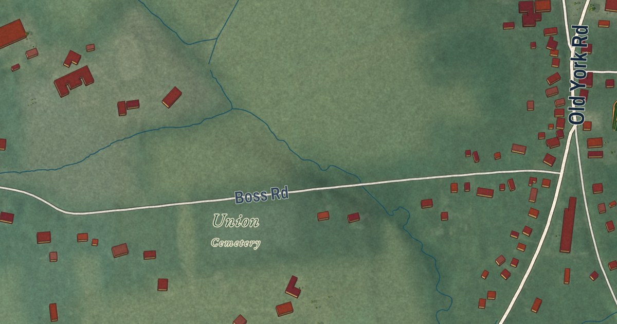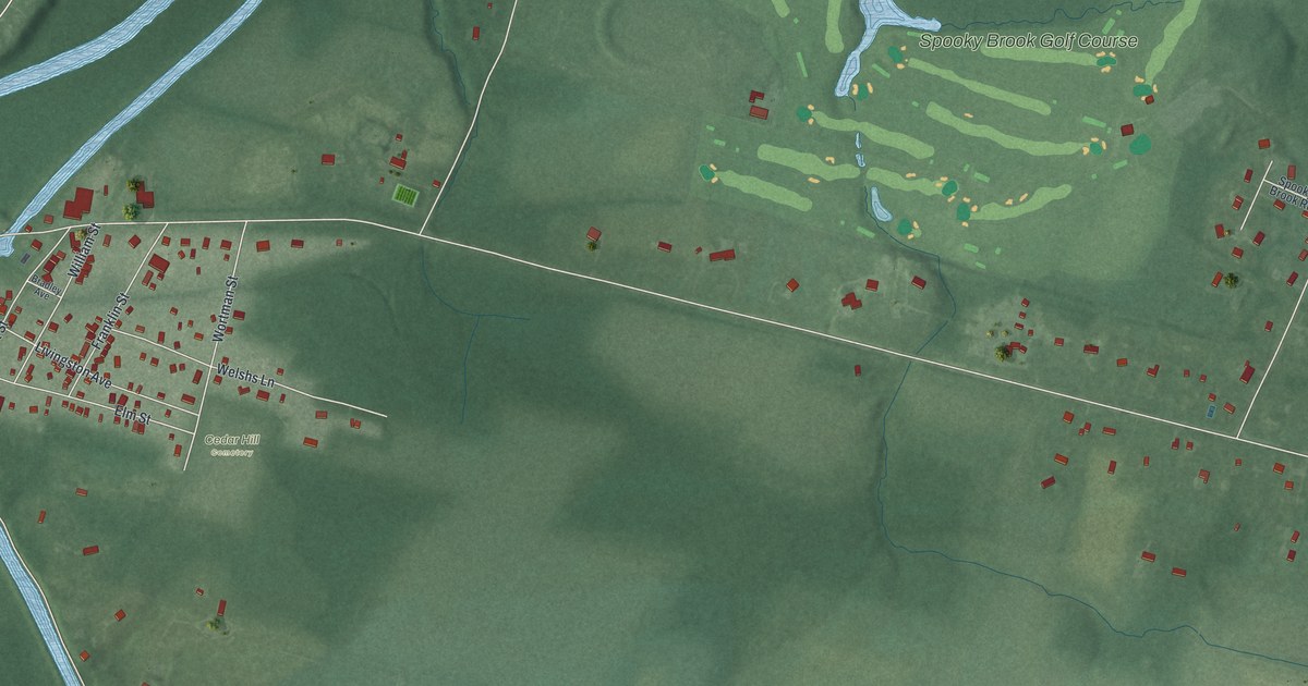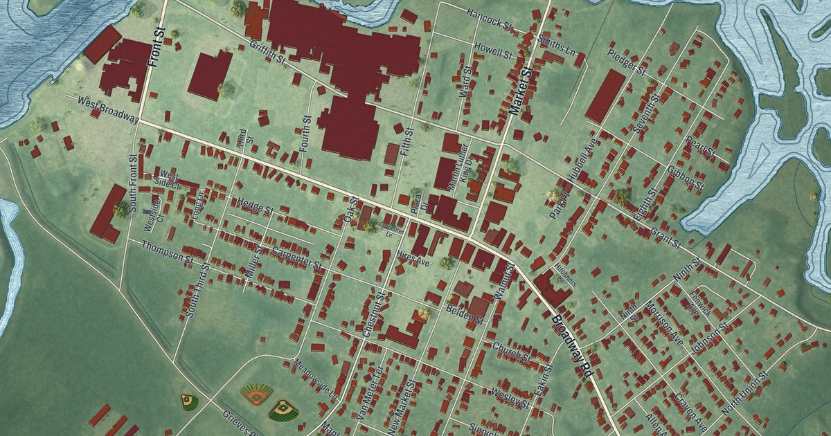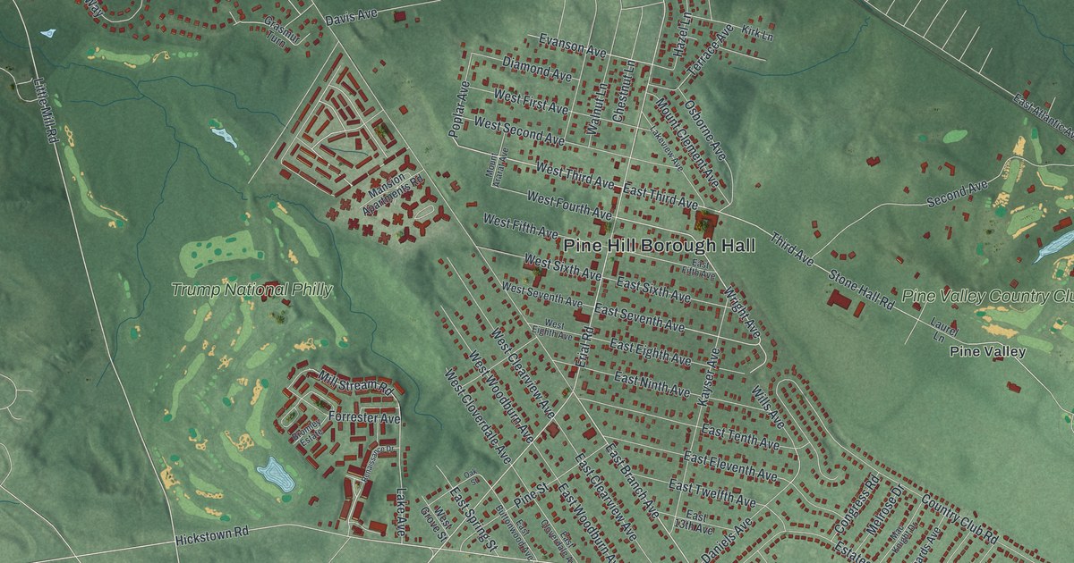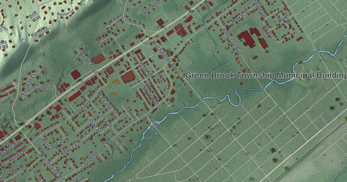
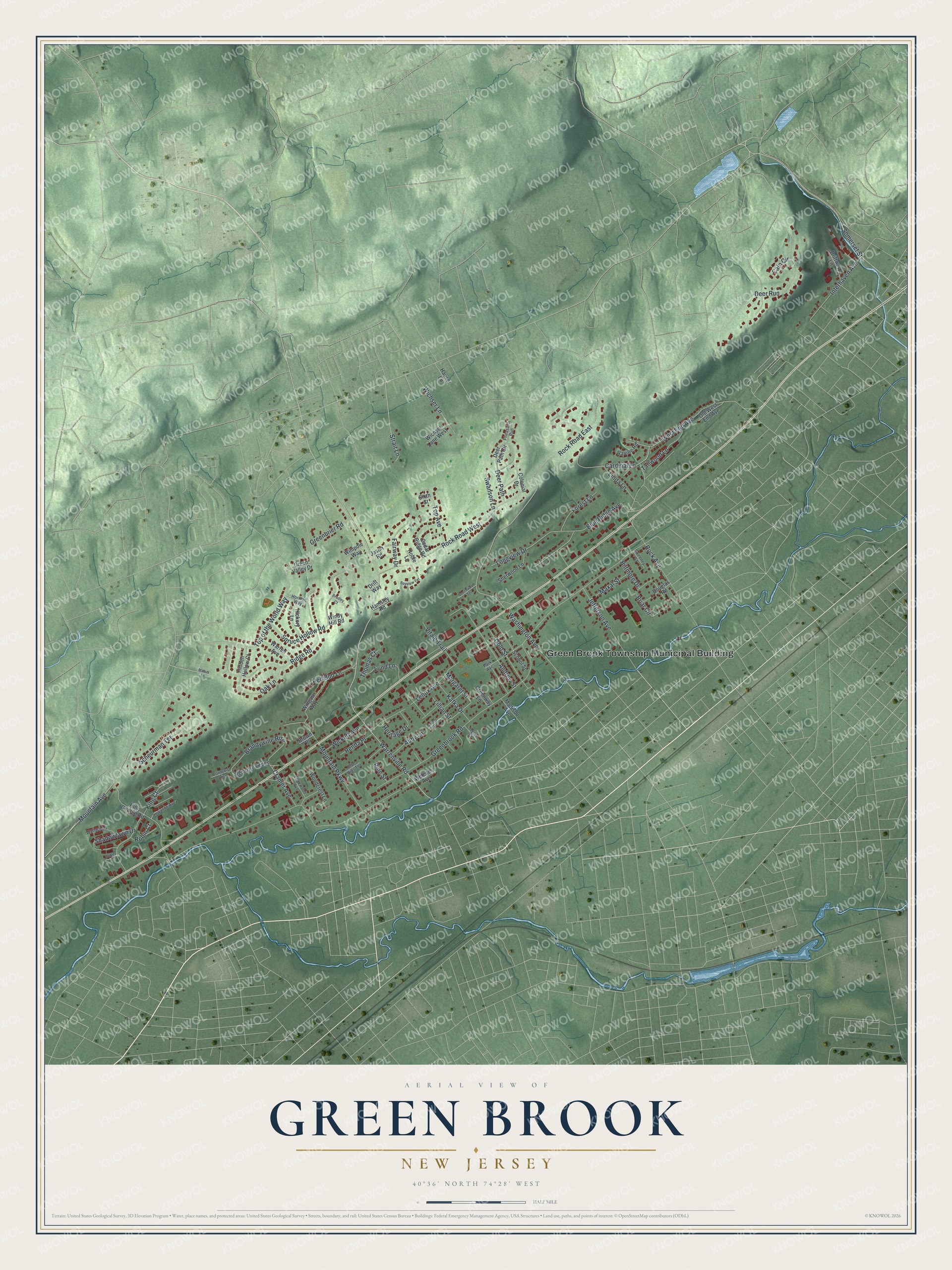
This beautifully detailed map of Green Brook, New Jersey was created in 2026 using aerial imagery combined with modern topographical, census, street and landmark data. It’s a one-of-a-kind view of Green Brook that combines accurate data with a vintage aesthetic. The map shows every building in its true location, many of the roads carry their names, and the shaded topographic relief shows the shape of the land.
Explore an aerial view of Green Brook, New Jersey
On the map you’ll find Green Brook Township Municipal Building, along with Warrenville Road, Somerset Street, Mountain Avenue, Washington Avenue, Strait Lane, Greenbrook Road, Ridge Road, Rock Road West, Lenox Avenue, Rock Avenue, Spruce Hollow Road, and more. If you look closely you can even find your house accurately drawn in its correct location. Zoom in on the preview to look for yours.
Did You Know?
Washington Rock State Park sits in Green Brook Township. It marks the spot where George Washington and the Marquis de Lafayette watched British troops move in May and June of 1777. The park was set aside in 1913.
Take a closer look at the Green Brook map
Names on this map
These names are printed on this map.
Places: Green Brook Township Municipal Building.
Streets and roads: Warrenville Road, Somerset Street, Mountain Avenue, Washington Avenue, Strait Lane, Greenbrook Road, Ridge Road, Rock Road West, Lenox Avenue, Rock Avenue, Spruce Hollow Road, Top of the World Way.
More street names, A to Z
Abby Lane, Andrew Street, Bayview Terrace, Beechwood Terrace, Biltmore Drive, Blue Hills Terrace, Blue Ridge Avenue, Bradley Court, Brandywine Rise, Brandywise Rise, Briar Circle, Brown Place, Cain Circle, Cardinal Lane, Cedar Ridge Road, Colonial Drive, Cramer Avenue, Deer Path, Deer Path Circle, Deer Run, Douglas Road, Drift Way, Driftway Lane, Dudley Court, Edgewood Avenue, Fairway Drive, Forest Lane, Gold Street, Greenbrier Road, Green Valley Drive, Greenway Lane, Hamsley Road, Hauser Lane, Heritage Drive, Hickory Lane, Hidden Hollow Court, Horizon Way, Inglee Street, Interhaven Avenue, Jason Road, Jefferson Avenue, Kafka Drive, King Court, King George Road, Lillian Street, Linda Lane, Longview Drive, Lowande Avenue, Lund Lane, Mabus Lane, Madison Avenue, Margaret Street, Maxal Street, Mountain Parkway, Noble Lane, Oak Lane, Old West End Avenue, Park Avenue, Pheasant Run, Pine Street, Ravine Road, Red Bud Lane, Remrose Ledge, Renda Place, Robin Court, Rock Road East, Scheurman Terrace, School Street, Shadowlawn Drive, Sherwood Lane, Sixth Street, Swanson Lane, Sweeney Court, Tallwood Lane, Thomas Court, Top Avenue, Vitale Trail, Wallace Court, Warner Avenue, Warren Avenue, Webster Avenue, West End Avenue, Wichser Lane, Wichser Lane West, Wickett Avenue, Wimpole Way, Windy Hill Road, Wingate Way, Woodcrest Lane.
See it on a wall
The Green Brook map as an 18 x 24 inch print in a black frame.

This beautifully detailed map of Green Brook makes an attractive addition to your office, library, or den, and it can even be used to teach children the geography and history of the area. It also makes a great gift for someone who left Green Brook and still calls it home. When you’re done exploring, click here to get your copy of the Green Brook map.