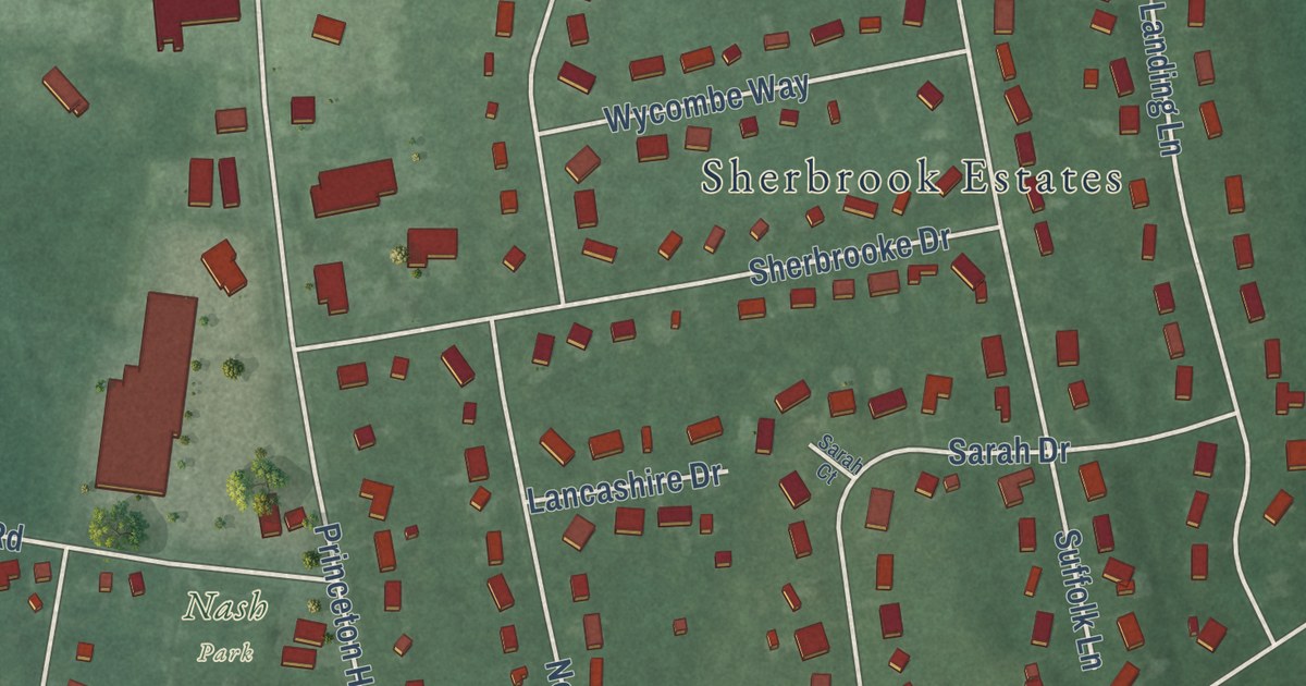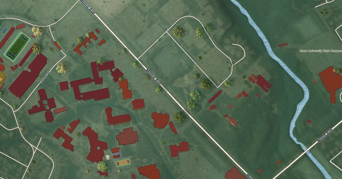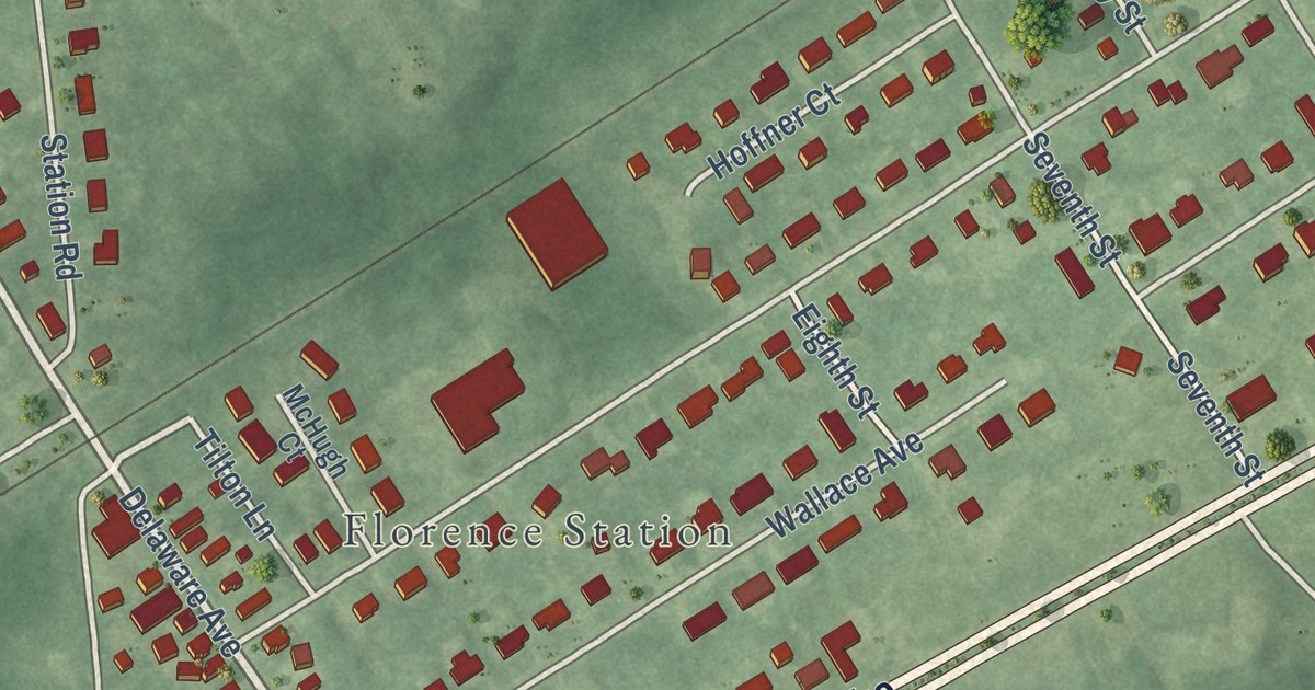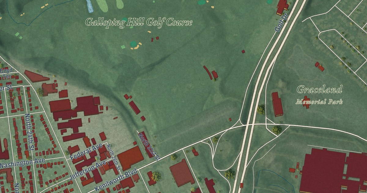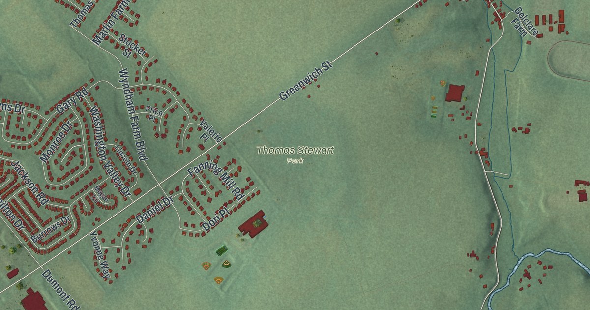
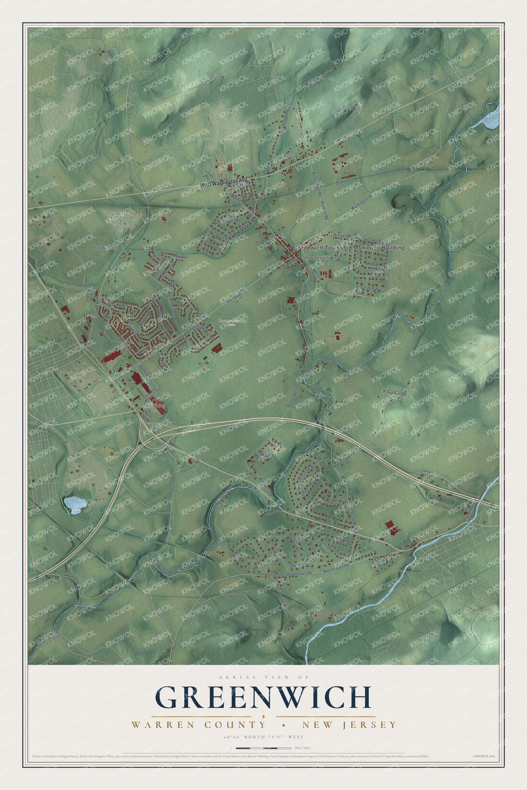
This beautifully detailed map of Greenwich, Warren County, New Jersey was created in 2026 using aerial imagery combined with modern topographical, census, street and landmark data. It’s a one-of-a-kind view of Greenwich that combines accurate data with a vintage aesthetic. The map shows every building in its true location, many of the roads carry their names, and the shaded topographic relief shows the shape of the land.
Explore an aerial view of Greenwich, Warren County, New Jersey
On the map you’ll find Greenwich Township Municipal Building, Thomas Stewart Park, Coopersville, Port Warren, Stewartsville, and Still Valley, along with West Washington Avenue, South Main Street, Washington Street, North Main Street, Wyndham Farm Boulevard, Uniontown Road, and more. If you look closely you can even find your house accurately drawn in its correct location. Zoom in on the preview to look for yours.
Take a closer look at the Greenwich, Warren County map
Names on this map
These names are printed on this map.
Places: Greenwich Township Municipal Building, Thomas Stewart Park, Coopersville, Port Warren, Stewartsville and Still Valley.
Streets and roads: West Washington Avenue, South Main Street, Washington Street, North Main Street, Wyndham Farm Boulevard, Uniontown Road, Greenwich Street, Warren Glen Bloomsbury Road, Warren Glen Road, New Village Road, Richline Hill Road, Dumont Road.
More street names, A to Z
Adams Drive, Aldin Road, Arbor Drive, Barn Swallow Court, Beattys Road, Beaufort Road, Belclare Farm, Birch Lane, Bloomsbury Road, Bolton Drive, Bradford Lane, Burrows Drive, Canal Crossing, Crisman Drive, Curtis Court, Daniel Drive, Dori Place, East New Brunswick Avenue, Edison Avenue, Emeline Way, Fanning Mill Road, Fox Run Road, Fran Lane, Fulmer Street, Gary Road, Greens Ridge Road, Greenwich Church Road, Hamilton Drive, Herleman Road, Horseshoe Way, Hulshizer Avenue, Iron Wolf Road, Jackson Road, Kennedy Mill Road, Kinney Circle, Lauren Way, Liberty Road, Lincoln Drive, Lows Hollow Road, Maple Drive, Marlin Farm Road, Maxwell Drive, Meadow Run, Megan Circle, Monroe Drive, Parker Road, Pequest Road, Pine Hollow Road, Price Place, Prospect Street, Rachel Court, Ravine Road, Red Hawk Lane, Revere Road, Richline Road, Robert Place, Standish Place, Still Valley Road, Stocker Street, Stone Crossing Road, Strykers Road, Thomas Carling Drive, Thomas Stewart Way, Tyler Circle, Valerie Place, Voorhees Road, Warren Street, Washington Valley Drive, West Avenue, Willever Way, Willow Grove Road, Yvonne Way.
See it on a wall
The Greenwich, Warren County map as an 18 x 24 inch print in a black frame.

This beautifully detailed map of Greenwich, Warren County makes an attractive addition to your office, library, or den, and it can even be used to teach children the geography and history of the area. It also makes a great gift for anyone with Greenwich roots. When you’re done exploring, click here to get your copy of the Greenwich, Warren County map.