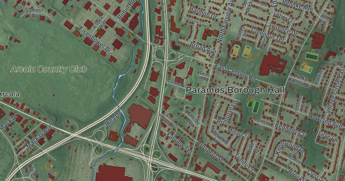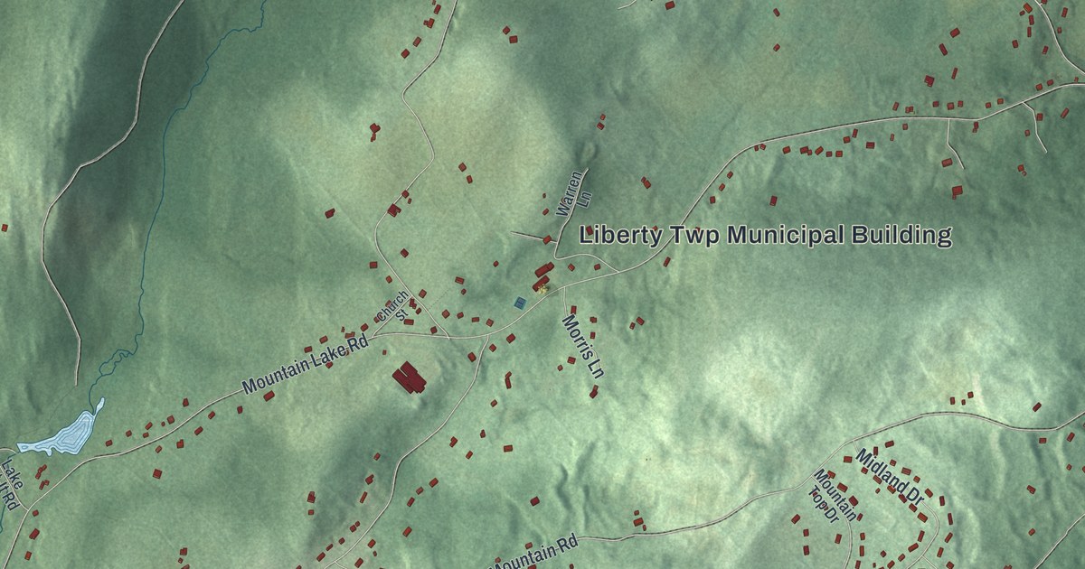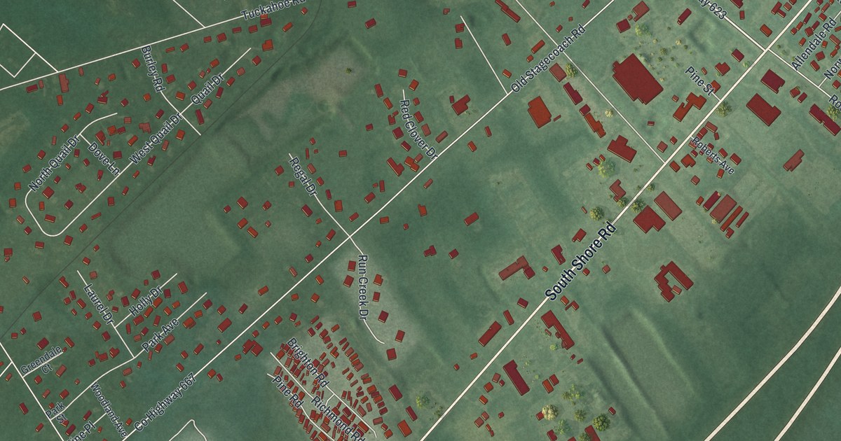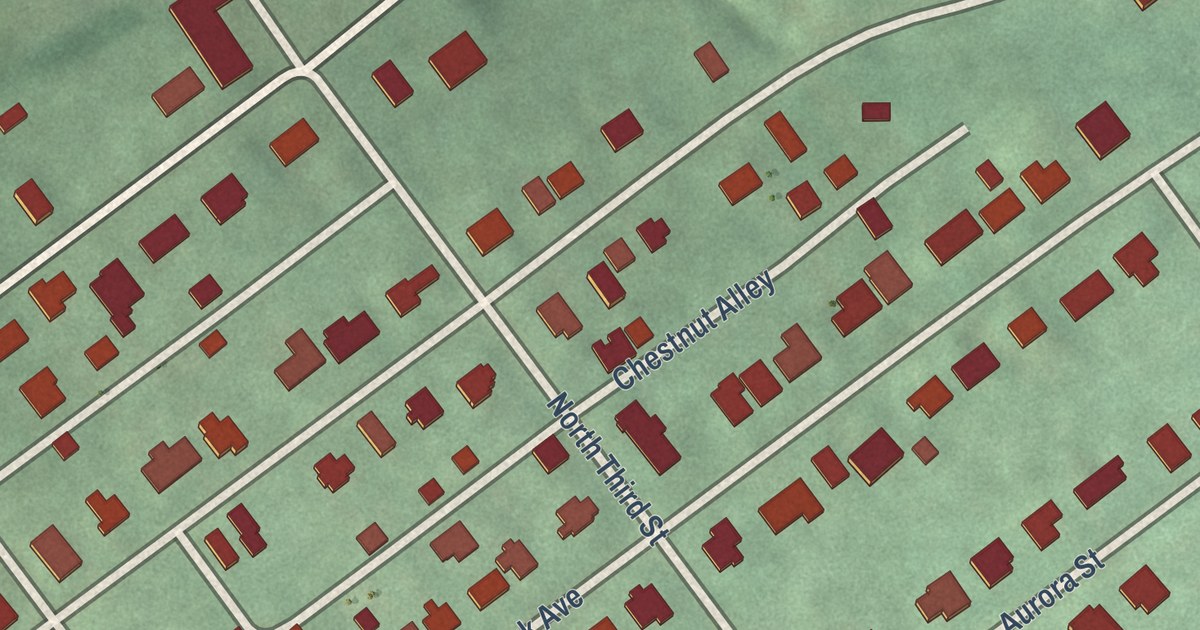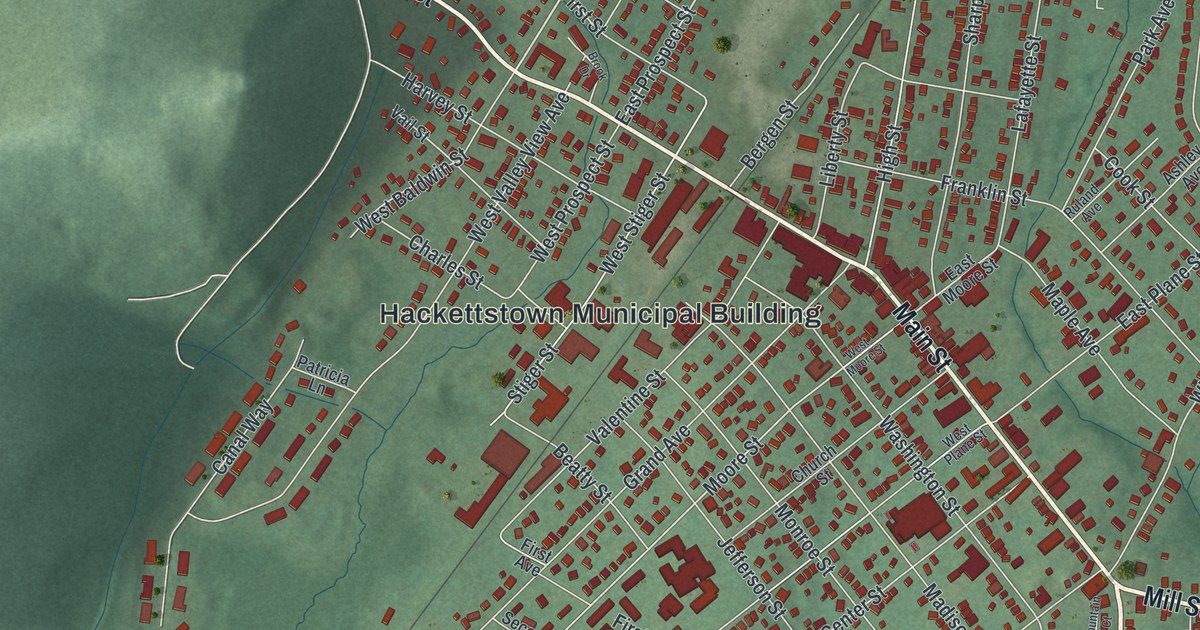
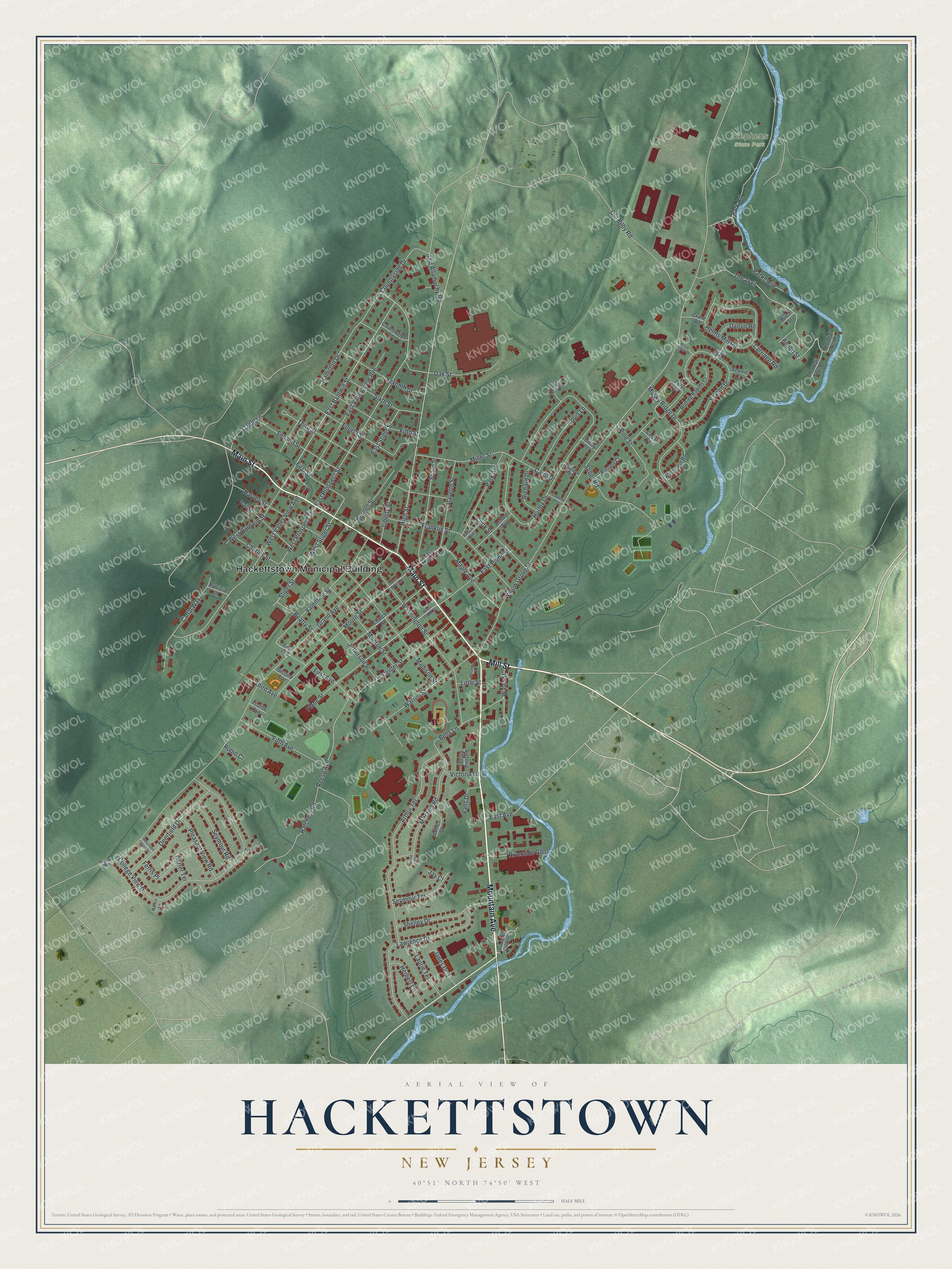
This beautifully detailed map of Hackettstown, New Jersey was created in 2026 using aerial imagery combined with modern topographical, census, street and landmark data. It’s a one-of-a-kind view of Hackettstown that combines accurate data with a vintage aesthetic. The map shows every building in its true location, many of the roads carry their names, and the shaded topographic relief shows the shape of the land.
Explore an aerial view of Hackettstown, New Jersey
On the map you’ll find Hackettstown Municipal Building and Stephens State Park, along with Mountain Avenue, Mill Street, Main Street, Countryside Drive, East Baldwin Street, West Baldwin Street, The Trail, East Prospect Street, Moore Street, East Stiger Street, and more. If you look closely you can even find your house accurately drawn in its correct location. Zoom in on the preview to look for yours.
Did You Know?
Hackettstown was named for Samuel Hackett, an early settler and large landowner. Before that, the place was called Helms’ Mills or Musconetcong. Hackett is said to have paid for drinks at the christening of a new hotel to win the town his name.
Take a closer look at the Hackettstown map
Names on this map
These names are printed on this map.
Places: Hackettstown Municipal Building, Stephens State Park and Doctors Park.
Streets and roads: Mountain Avenue, Mill Street, Main Street, Countryside Drive, East Baldwin Street, West Baldwin Street, The Trail, East Prospect Street, Moore Street, East Stiger Street, Willow Grove Street, Grand Avenue.
More street names, A to Z
Arthur Terrace, Ashley Avenue, Ayers Road, Beatty Street, Beech Street, Bells Lane, Bergen Street, Birch Street, Brook Drive, Brook Hollow Drive, Canal Lane, Canal Way, Carol Drive, Carriage Road, Carter Terrace, Cedar Street, Center Street, Charles Street, Church Street, Cindy Terrace, College View Drive, Connie Terrace, Cook Street, Countryside Lane, Crane Road, Dalton Road, Deerfield Drive, East Avenue, East Moore Street, East Plane Street, East Valley View Avenue, Ferris Place, Fifth Avenue, Fifth Street, First Avenue, First Street, Fourth Avenue, Fourth Street, Franklin Street, Hamilton Drive, Harvey Street, Hatchery Road, Helms Mill Road, Herbert Lane, High Street, Hurley Drive, James Court, Janes Drive, Jay Court, Jefferson Street, Kenneth Lane, Lafayette Street, Laurie Terrace, Lawrence Drive, Liberty Street, Little Street, Louis Lane, Madison Street, Maple Avenue, Miller Street, Mitchell Road, Monroe Street, Morgan Terrace, Mountain Court, Mountain View Drive, Musky Ridge Drive, Nancy Lane, Oak Street, Old Allamuchy Road, Old Bilby Road, Park Avenue, Parke Avenue, Park Road, Patricia Lane, Peter Drive, Pine Street, Plane Street, Pleasant View Road, Reese Avenue, Richard Drive, Riveredge Trailer Court, Riverside Gdns, Robin Court, Rockport Road, Rolling Rapids Court, Ruland Avenue, Russell Court, Saxton Drive, Scenic Court, Seber Road, Second Avenue, Second Street, Seventh Street, Seymour Road, Seymour Terrace, Sharp Street, Shelley Drive, Sixth Street, Stiger Street, The Trail North, The Trail South, Third Avenue, Third Street, Vail Street, Valentine Street, Vans Drive, Victor Court, Victoria Lane, Victoria Village, Warren Street, Washington Street, Watch Hill Road, Water Street, West Moore Street, West Plane Street, West Prospect Street, West Stiger Street, West Valley View Avenue.
See it on a wall
The Hackettstown map as an 18 x 24 inch print in a black frame.

This beautifully detailed map of Hackettstown makes an attractive addition to your office, library, or den, and it can even be used to teach children the geography and history of the area. It also makes a great gift for someone who left Hackettstown and still calls it home. When you’re done exploring, click here to get your copy of the Hackettstown map.