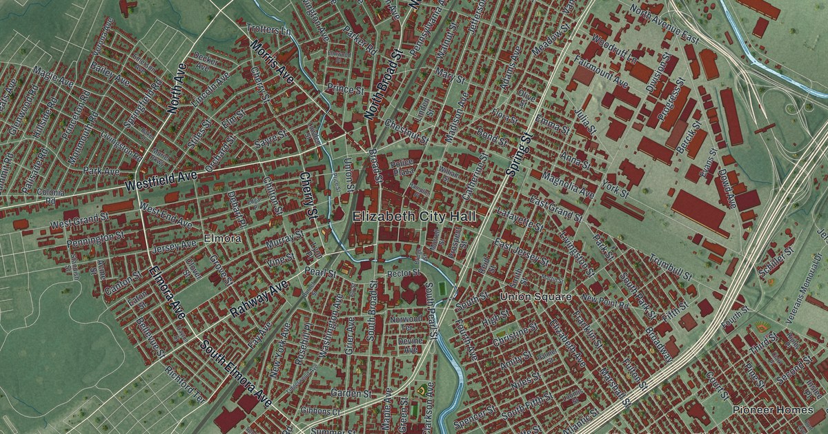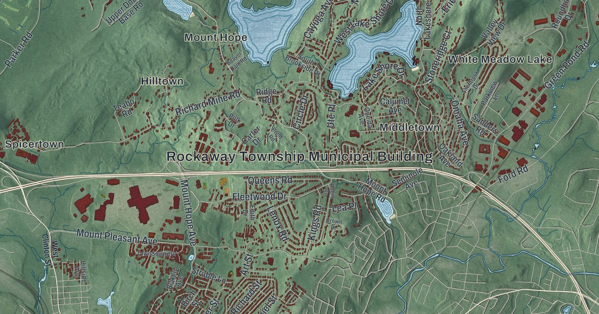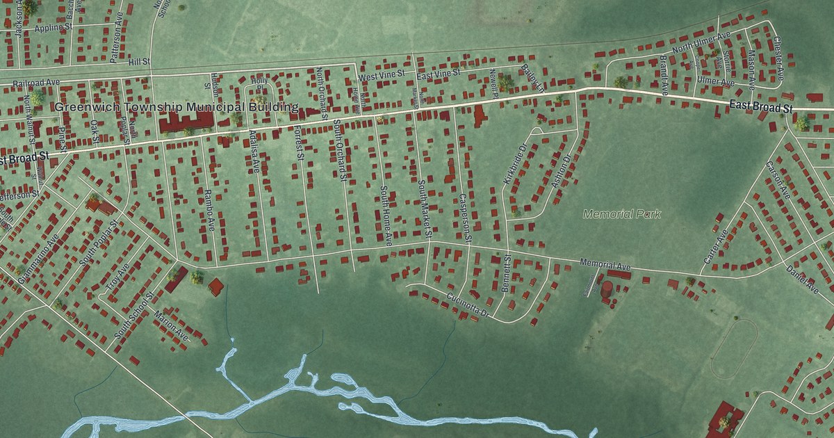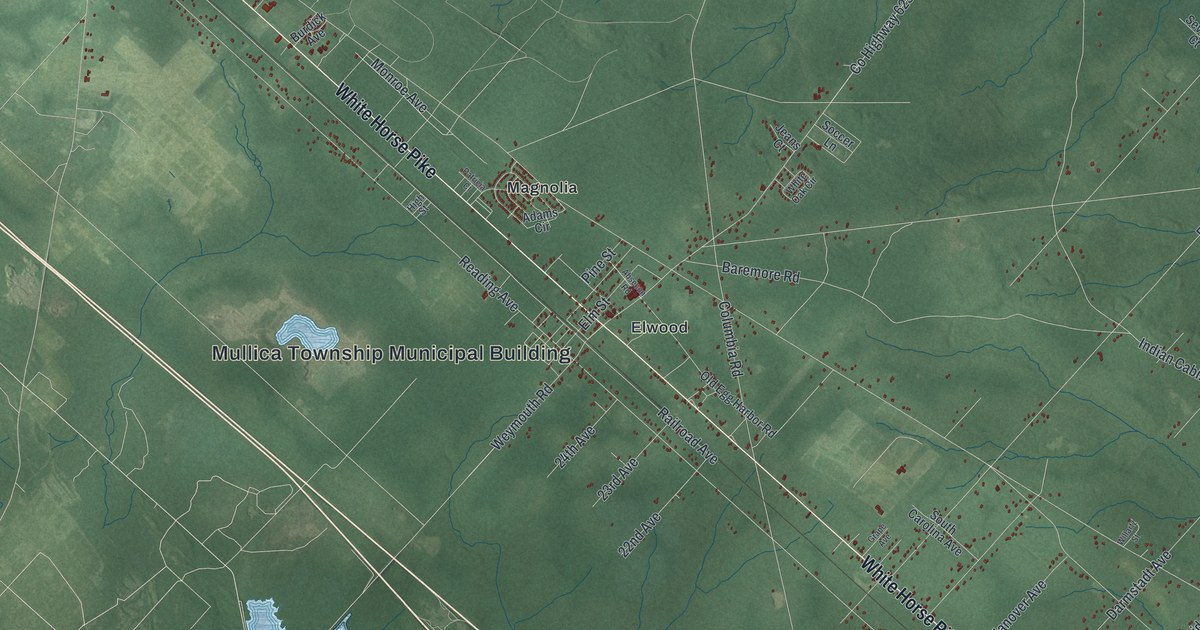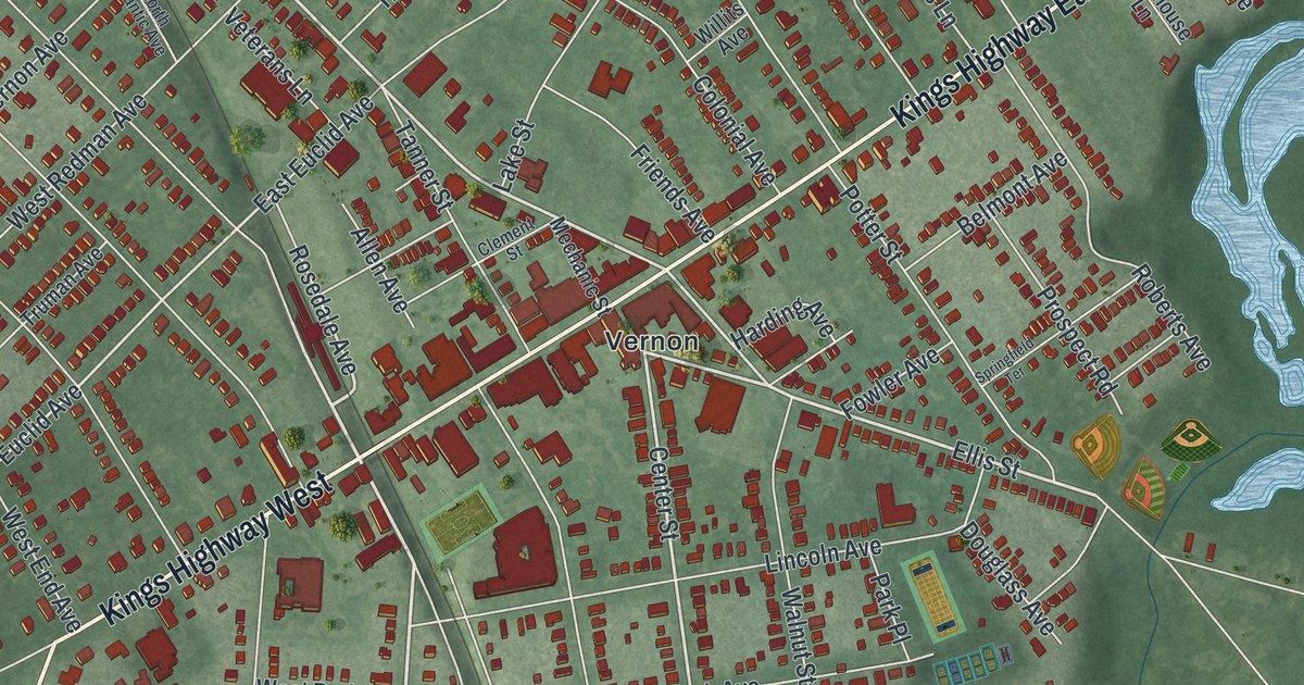
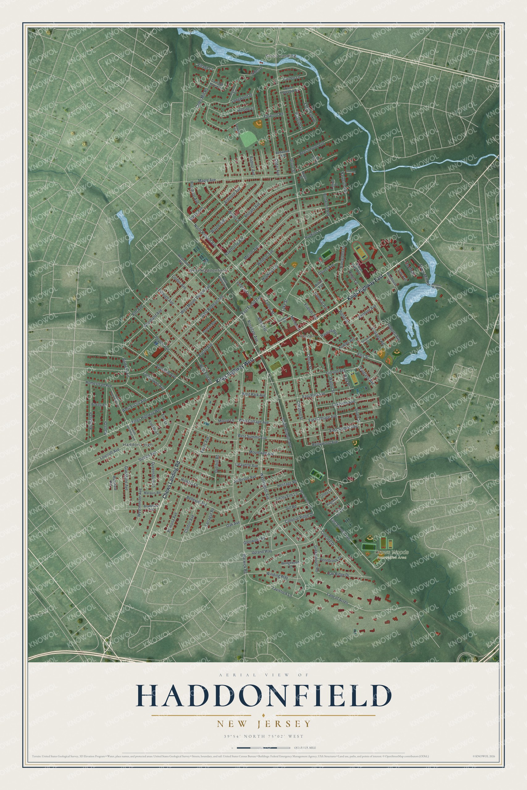
This beautifully detailed map of Haddonfield, New Jersey was created in 2026 using aerial imagery combined with modern topographical, census, street and landmark data. It’s a one-of-a-kind view of Haddonfield that combines accurate data with a vintage aesthetic. The map shows every building in its true location, many of the roads carry their names, and the shaded topographic relief shows the shape of the land.
Explore an aerial view of Haddonfield, New Jersey
On the map you’ll find Crows Woods Recreation Area, Haddon Leigh, Stoys Landing, Vernon, and West Haddonfield, along with Kings Highway East, Chews Landing Road, Kings Highway West, Washington Avenue, Ellis Street, Center Street, North Haddon Avenue, and more. If you look closely you can even find your house accurately drawn in its correct location. Zoom in on the preview to look for yours.
Did You Know?
In 1838, William Estaugh Hopkins found large bones while digging in a marl pit in Haddonfield. A visitor, William Foulke, dug in that pit in 1858. He found the first fairly complete dinosaur skeleton ever found in North America, Hadrosaurus foulkii. It became the New Jersey state dinosaur in 1991.
Take a closer look at the Haddonfield map
Names on this map
These names are printed on this map.
Places: Crows Woods Recreation Area, Haddon Leigh, Stoys Landing, Vernon and West Haddonfield.
Streets and roads: Kings Highway East, Chews Landing Road, Kings Highway West, Washington Avenue, Ellis Street, Center Street, North Haddon Avenue, Rosedale Avenue, West Euclid Avenue, South Atlantic Avenue, Grove Street, Warwick Road.
More street names, A to Z
Allen Avenue, Ardmore Avenue, Avondale Avenue, Barberry Lane, Beechwood Avenue, Bellevue Avenue, Belmont Avenue, Bewley Road, Birchall Drive, Birdwood Avenue, Bortons Mill Road, Bradshaw Avenue, Bryn Mawr Avenue, Carriage House Lane, Cedar Avenue, Chestnut Street, Clement Street, Clinton Avenue, Coles Mill Road, Colonial Avenue, Colonial Ridge Drive, Concord Drive, Douglass Avenue, East Atlantic Avenue, East Cottage Avenue, East Euclid Avenue, East Park Avenue, East Summit Avenue, East Upland Way, Edge Park Drive, Elm Avenue, Estaugh Avenue, Euclid Avenue, Evans Avenue, Evans Mill Road, Evergreen Lane, Eves Lane, Farragut Road, Farwood Circle, Farwood Road, Fowler Avenue, Friends Avenue, Gill Road, Gladstone Avenue, Glenwood Road, Glover Avenue, Greenmount Road, Harding Avenue, Hawthorne Avenue, Heritage Road, Hickory Lane, Hillside Lane, Homestead Avenue, Hopkins Avenue, Hopkins Lane, Jefferson Avenue, Jobel Drive, Kings Lane, Knolltop Lane, Lafayette Avenue, Lake Street, Lakeview Avenue, Lane of Acres, Lansdowne Avenue, Lee Avenue, Legion Lane, Lincoln Avenue, Linden Avenue, Longwood Circle, Longwood Drive, Loucroft Avenue, Mansfield Avenue, Maple Avenue, Maple Court, Marne Avenue, Marquis Road, Mechanic Street, Merion Avenue, Moore Lane, Morehouse Lane, Mountwell Avenue, Narberth Avenue, North Atlantic Avenue, North Drive, North Edgepark Drive, North Hinchman Avenue, Oak Avenue, Oak Ridge Drive, Olney Circle, Overhill Road, Pardee Lane, Park Place, Pennbrook Drive, Peyton Avenue, Pomona Avenue, Potter Street, Princeton Avenue, Prospect Road, Queensboro Lane, Radnor Avenue, Redwood Avenue, Reillywood Avenue, Rhoads Avenue, Ridgewood Circle, Roberts Avenue, Somerset Drive, South Hinchman Avenue, Springfield Terrace, Spruce Street, Station Avenue, Sylvan Lake Avenue, Tanner Street, Tavistock Lane, The Mews, Treaty Elm Lane, Truman Avenue, Upland Way, Veterans Lane, Village Court, Walnut Street, Wayne Avenue, Wayside Lane, Wedgewood Lane, West Atlantic Avenue, West Cottage Avenue, West End Avenue, Westminster Avenue, Westmont Avenue, West Mount Vernon Avenue, West Park Avenue, West Redman Avenue, West Summit Avenue, Willits Avenue, Winding Way, Windsor Avenue, Woodland Avenue, Wood Lane.
See it on a wall
The Haddonfield map as an 18 x 24 inch print in a black frame.

This beautifully detailed map of Haddonfield makes an attractive addition to your office, library, or den, and it can even be used to teach children the geography and history of the area. It also makes a great gift for anyone who grew up in Haddonfield or moved away. When you’re done exploring, click here to get your copy of the Haddonfield map.