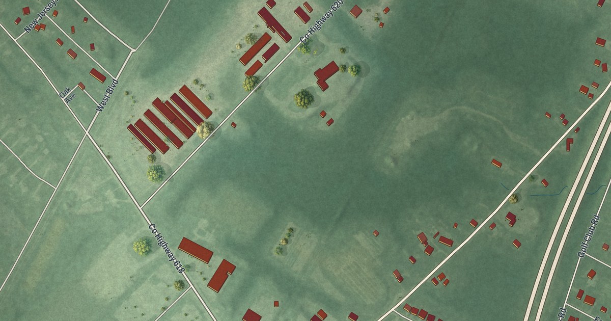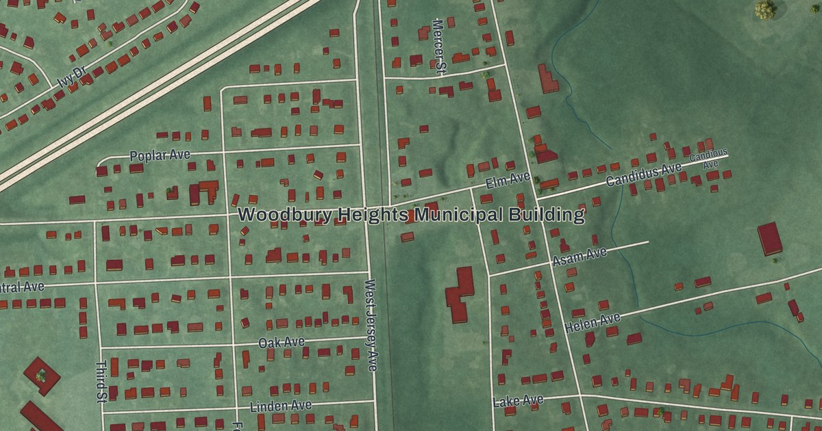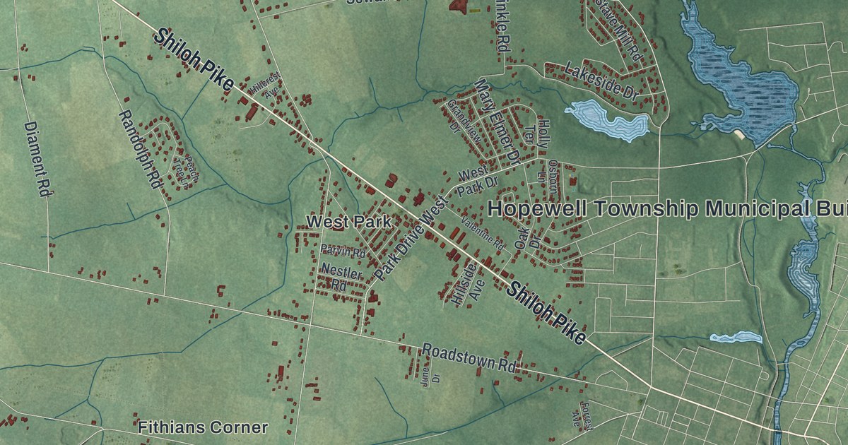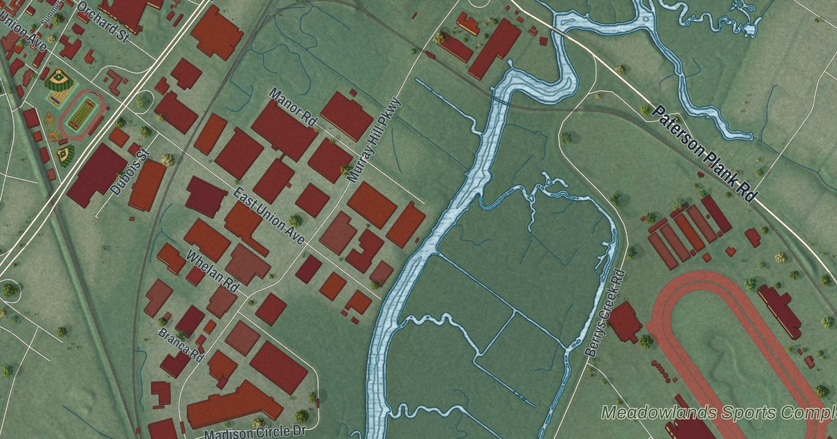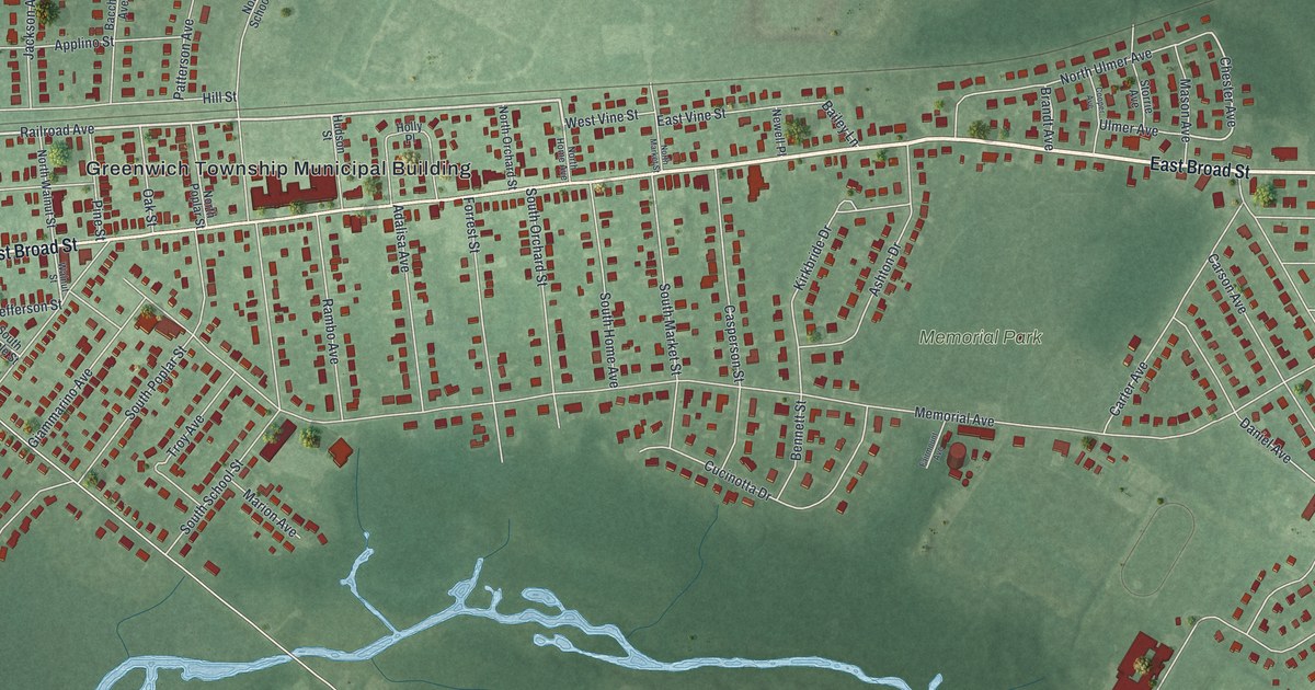
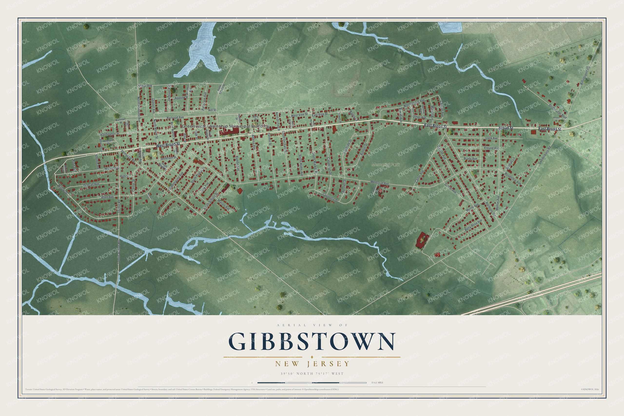
This beautifully detailed map of Gibbstown, New Jersey was created in 2026 using aerial imagery combined with modern topographical, census, street and landmark data. It's a modern aerial view of Gibbstown in Gloucester County, New Jersey, that combines modern data with a vintage aesthetic. The roads feature printed names, and if you look closely you can find your exact house accurately shown in its correct location.
Explore an aerial view of Gibbstown, New Jersey
On this map you'll find Greenwich Township Municipal Building, Memorial Park, East Broad Street, Broad Street, West Broad Street, Railroad Avenue, North Maple Street, Willow Drive, Chester Avenue, Memorial Avenue, Swedesboro Road, Morse Avenue, and more. Each red shape is a building, so zoom in on the preview and look for yours.
Gibbstown is a community in Gloucester County. The Census Bureau counted 3,822 people here in 2020. Gibbstown sits about 2 miles southwest of Paulsboro, 3 miles northwest of Mickleton and 4 miles west of Mount Royal. The map prints the town name in its title panel, with the coordinates below it.
Take a closer look at the Gibbstown map
Names on this map
These names are printed on this map.
Places: Greenwich Township Municipal Building and Memorial Park.
Streets and roads: East Broad Street, Broad Street, West Broad Street, Railroad Avenue, North Maple Street, Willow Drive, Chester Avenue, Memorial Avenue, Swedesboro Road, Morse Avenue, Democrat Road, Allen Avenue.
More street names, A to Z
Adalisa Avenue, Applino Street, Ashton Drive, Bacchus Avenue, Bailey Lane, Bennett Street, Betty Rose Avenue, Billingsport Road, Brady Avenue, Bramall Lane, Brandt Avenue, Brown Lane, Carson Avenue, Carter Avenue, Casperson Street, Center Street, Cooper Avenue, Cucinotta Drive, Daniel Avenue, Duncan Avenue, Dupont Avenue, East Vine Street, Fairmount Avenue, Forrest Street, Freund Avenue, Giammarino Avenue, Harmony Road, High Street, Hill Street, Holly Place, Hudson Street, Jackson Avenue, Jefferson Street, Kirkbride Drive, Lock Avenue, Logan Avenue, Marion Avenue, Mason Avenue, Mellon Avenue, Morton Avenue, Mullen Avenue, Myrtle Avenue, Natchez Court, Newell Place, North Home Avenue, North Market Street, North Orchard Street, North Poplar Street, North Repauno Avenue, North School Street, North Ulmer Avenue, North Walnut Street, Oak Street, Patterson Avenue, Pine Street, Railroad Street, Rambo Avenue, Rose Avenue, Rosenthal Avenue, Solomon Avenue, South Home Avenue, South Maple Street, South Market Street, South Orchard Street, South Poplar Street, South Repauno Avenue, South School Street, Storrie Avenue, Strittmatter Boulevard, Tomlin Road, Tomlin Station Road, Troy Avenue, Ulmer Avenue, Veterans Drive, Veterans Lane, Walnut Street, Washington Street, West Vine Street.
See it on a wall
The Gibbstown map as a framed print. Swipe for more.


Created by KNOWOL in 2026. The buildings are small red shapes, the roads carry their printed names, and shaded relief shows the shape of the land. The title panel reads "AERIAL VIEW OF GIBBSTOWN, NEW JERSEY" with 39°50' NORTH 75°17' WEST.
It looks right in a kitchen, an office or a den, and it's a gift for anyone who grew up in Gibbstown or moved away. Open the preview and find your street. See sizes and frames for the Gibbstown map.