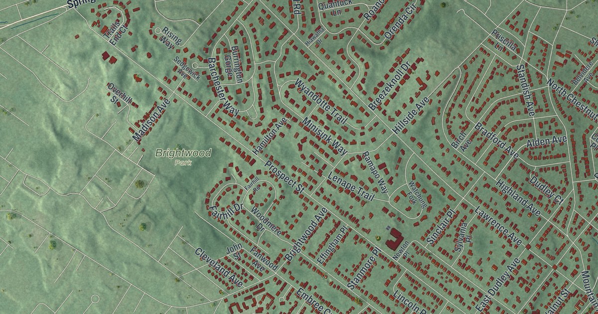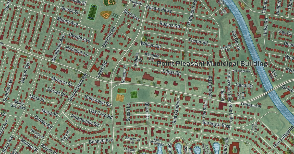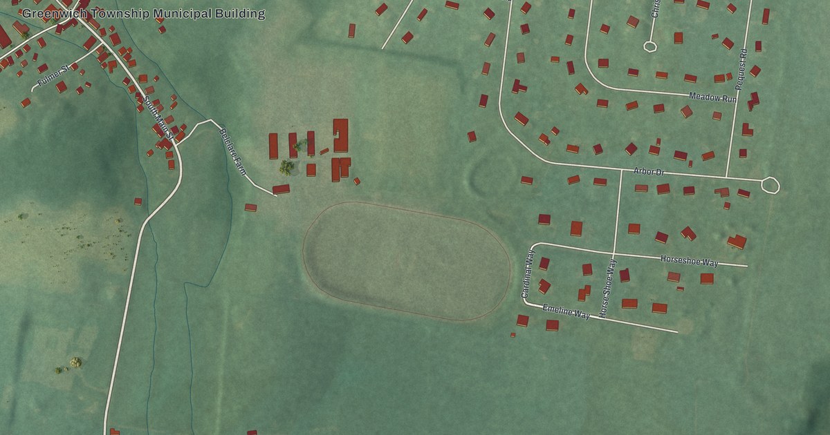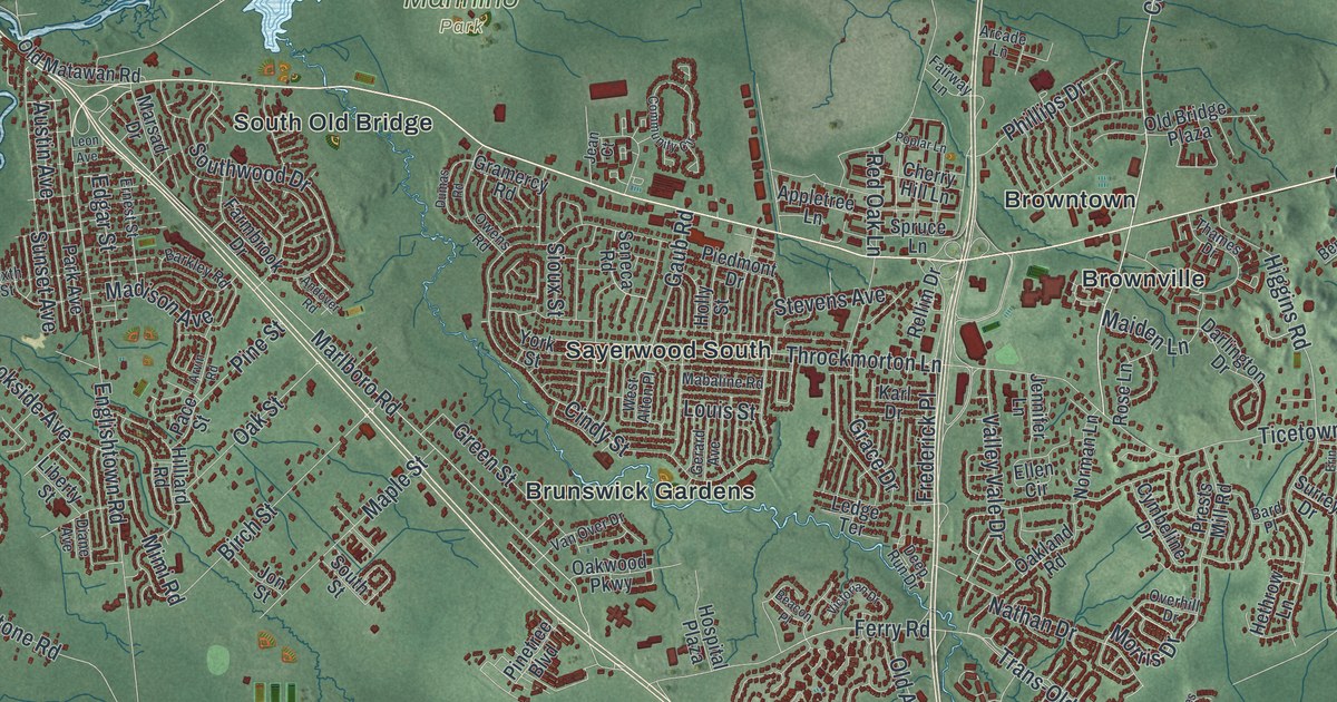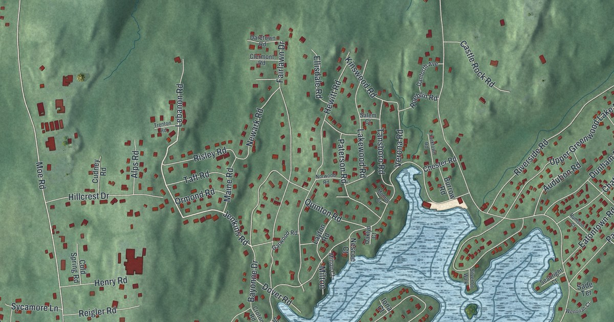
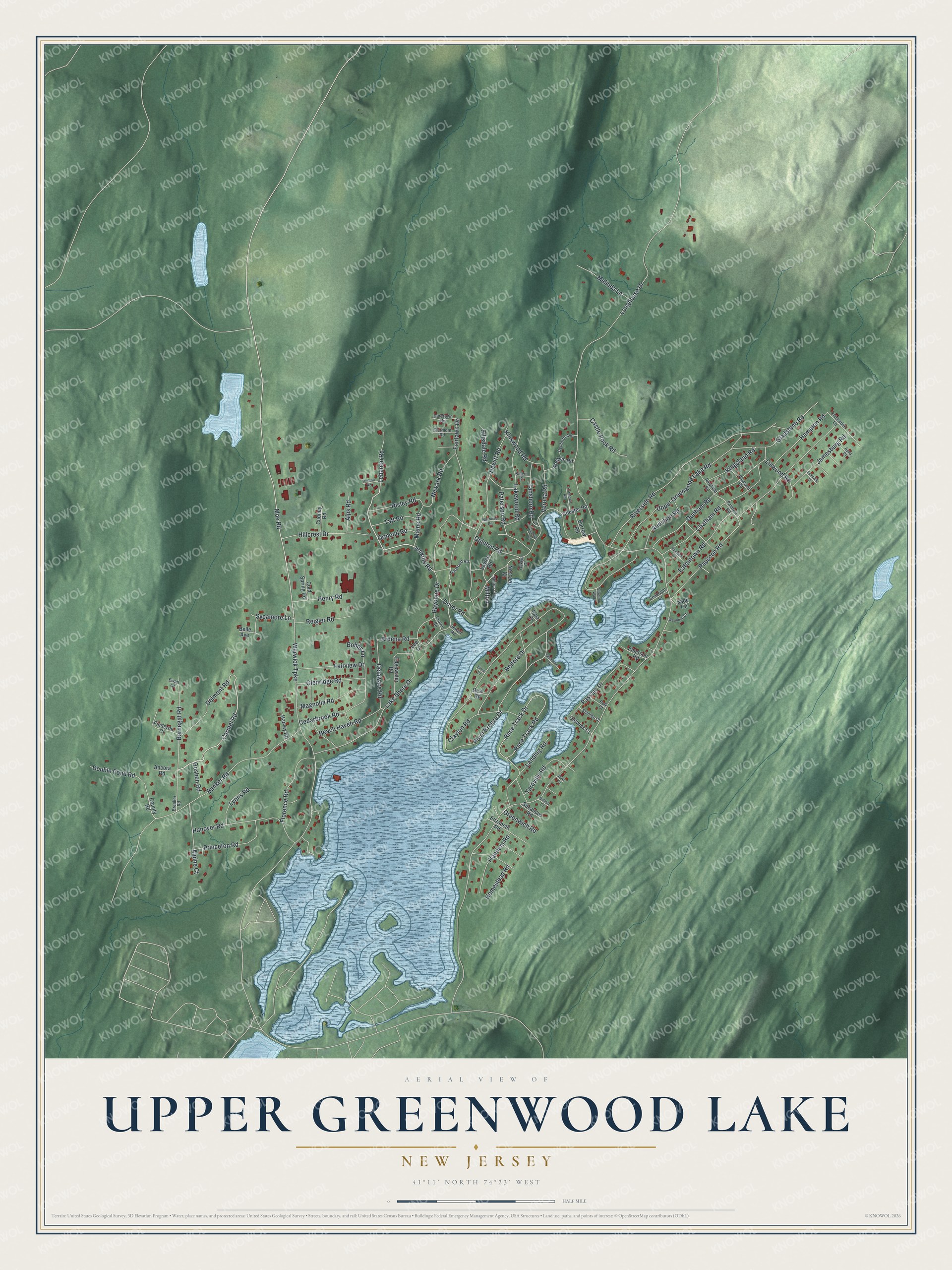
This beautifully detailed map of Upper Greenwood Lake, New Jersey was created in 2026 using aerial imagery combined with modern topographical, census, street and landmark data. It's a modern aerial view of Upper Greenwood Lake in Passaic County, New Jersey, that combines modern data with a vintage aesthetic. The roads feature printed names, and if you look closely you can find your exact house accurately shown in its correct location.
Explore an aerial view of Upper Greenwood Lake, New Jersey
On this map you'll find Warwick Turnpike, Moe Road, Lebanon Road, Clayton Road, Jenkins Road, Carmel Road, Lake Shore Drive, Point Breeze Drive, Longhouse Drive, Upper Greenwood Lake Road, Papscoe Road, Riverside Road, and more. Each red shape is a building, so zoom in on the preview and look for yours.
Upper Greenwood Lake is a community in Passaic County. The Census Bureau counted 3,687 people here in 2020. Upper Greenwood Lake sits about 3 miles west of Hewitt, 5 miles east of Highland Lakes and 7 miles east of Vernon Center. The map prints the town name in its title panel, with the coordinates below it.
Take a closer look at the Upper Greenwood Lake map
Names on this map
These names are printed on this map.
Streets and roads: Warwick Turnpike, Moe Road, Lebanon Road, Clayton Road, Jenkins Road, Carmel Road, Lake Shore Drive, Point Breeze Drive, Longhouse Drive, Upper Greenwood Lake Road, Papscoe Road, Riverside Road.
More street names, A to Z
Alpine Court, Alps Road, Ancora Road, Ardena Road, Audubon Road, Aura Court, Banker Road, Barnegat Road, Bayonne Drive, Beach Haven Road, Belford Drive, Belle Avenue, Belmar Court, Bobby Lane, Breaker Road, Burrow Road, Castle Rock Road, Cedarbrook Road, Chatham Road, Chester Road, Chickadee Lane, Clermont Road, Cold Spring Road, County Road, Croton Road, Cudney Road, Danforth Avenue, Daretown Road, Deal Road, Delaware Road, Delmont Road, Double Pond Road, Dove Court, Dover Road, Dunham Road, Eatontown Road, Edgewater Road, Elizabeth Road, Ellisdale Road, Elmer Court, Emerson Road, Estelville Court, Ewan Court, Fairlawn Drive, Fairview Drive, Finderne Court, Flanders Road, Florence Road, Garwood Road, Gladstone Road, Glenridge Road, Glenwood Road, Goshen Road, Greenwich Road, Hampton Road, Hanover Road, Harvey Road, Henry Road, Hewitt Road, Hillcrest Drive, Homestead Road, Iona Court, Jamesburg Road, Kingsland Road, Kinswood Road, Lakewood Road, Landing Road, Layton Road, Lee Court, Linwood Road, Lyons Road, Magnolia Road, Maine Road, Melinda Lane, Milton, Milton Court, Monroe Court, Nescoe Court, Newark Road, Newfield Road, Norwood Road, Oaklyn Court, Oldwick Court, Ormond Road, Palmyra Road, Passaic Drive, Paterson Road, Pleasant Road, Polk Court, Princeton Road, Quinton Road, Race Track Drive, Race Track Road, Reigler Road, Risley Road, Roeblin Road, Rumson Court, Sade Terrace, Salem Court, Seabright Court, Secaucus Road, Sewell Road, Silverton Walk, Stanton Court, Sycamore Lane, Taft Road, Tansboro Road, Trenton Road, Verona Road, Wenonah Court, Yardville Road, Yorktown Road.
See it on a wall
The Upper Greenwood Lake map as a framed print. Swipe for more.


Created by KNOWOL in 2026. The buildings are small red shapes, the roads carry their printed names, and shaded relief shows the shape of the land. The title panel reads "AERIAL VIEW OF UPPER GREENWOOD LAKE, NEW JERSEY" with 41°11' NORTH 74°23' WEST.
Hang it in the hallway, the office or the cabin, or give it to someone who left Upper Greenwood Lake and still calls it home. Open the preview and look for a street you know. See sizes and frames for the Upper Greenwood Lake map.