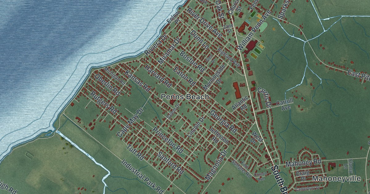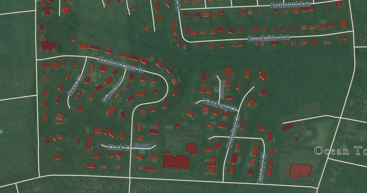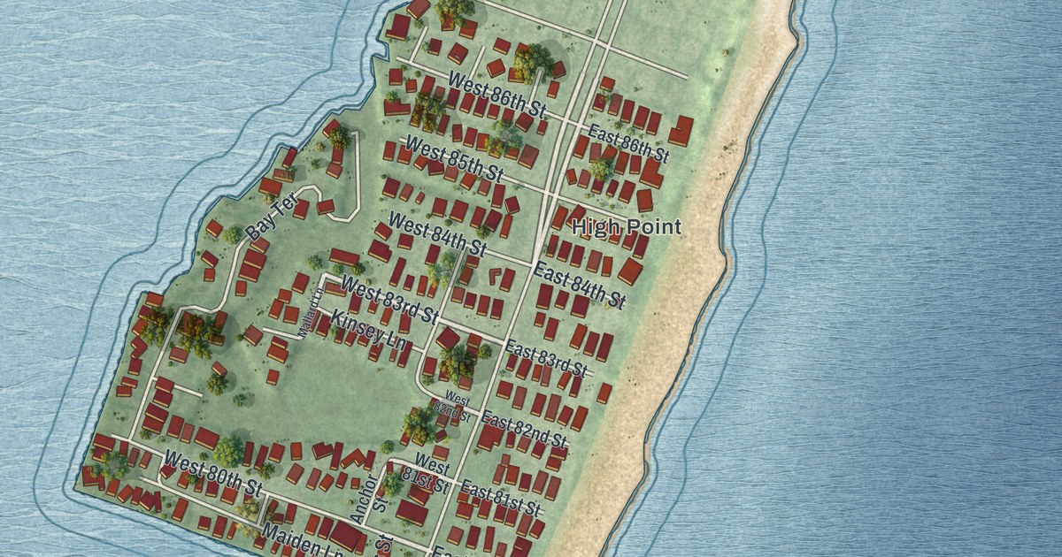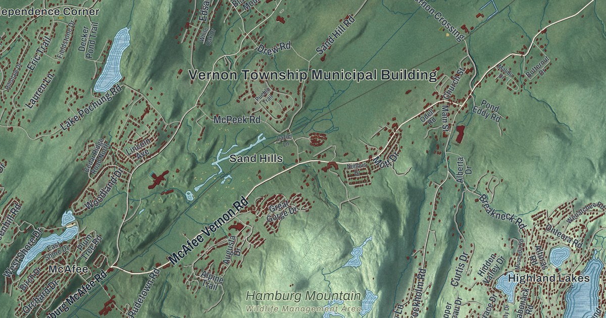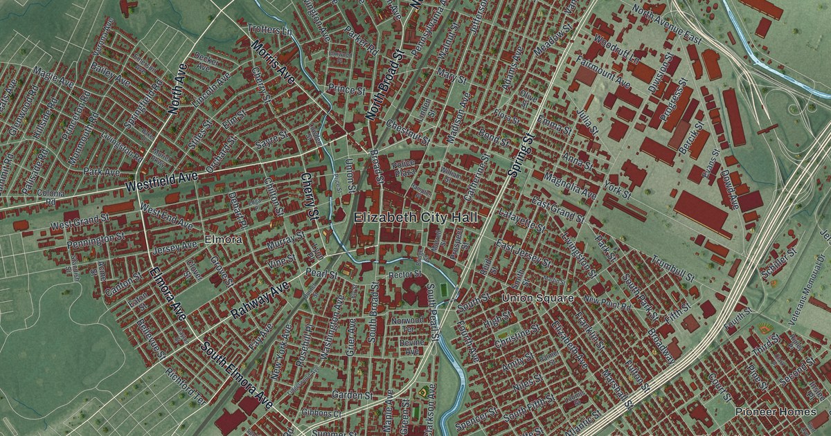
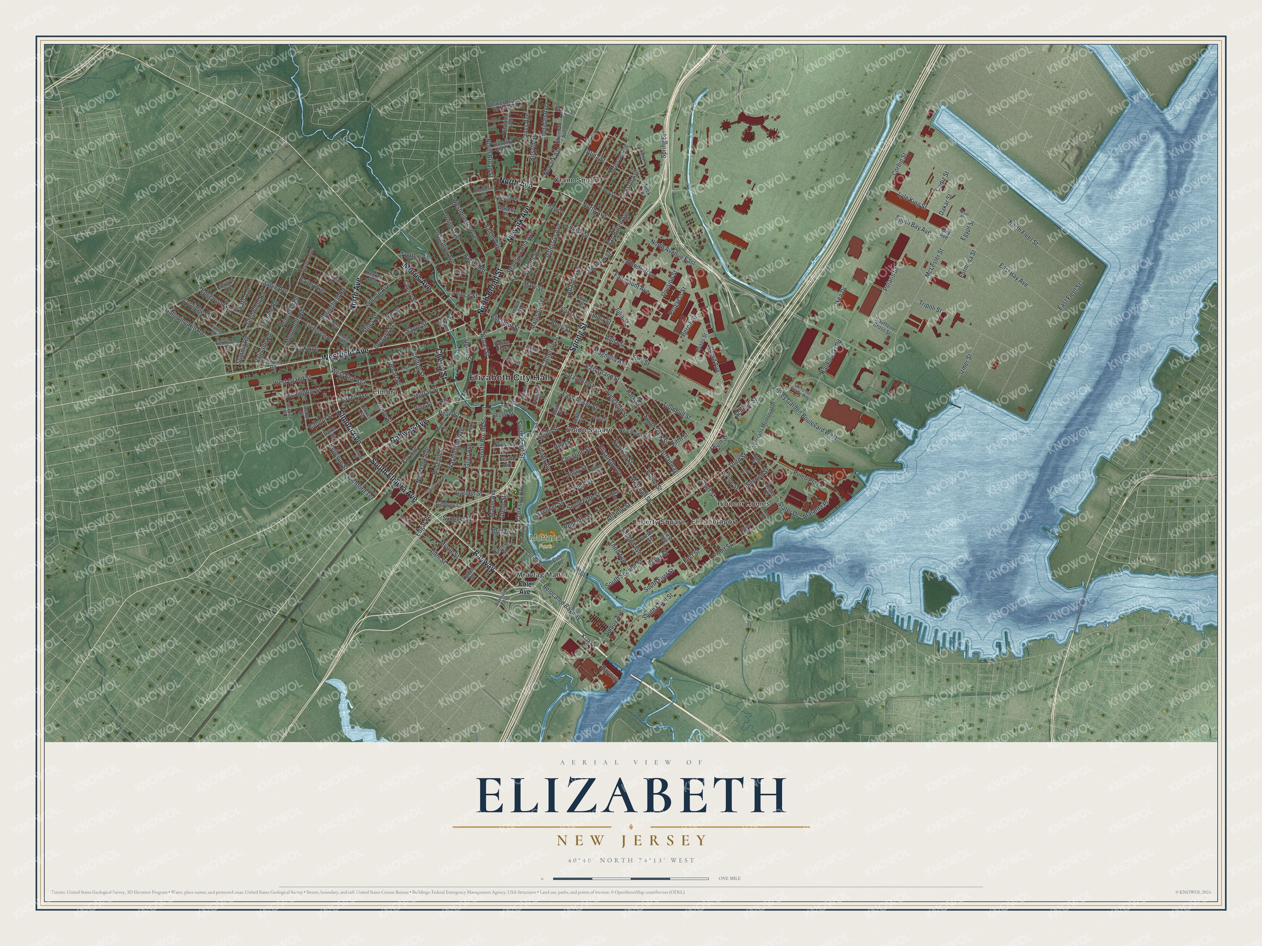
This beautifully detailed map of Elizabeth, New Jersey was created in 2026 using aerial imagery combined with modern topographical, census, street and landmark data. It’s a one-of-a-kind view of Elizabeth that combines accurate data with a vintage aesthetic. The map shows every building in its true location, many of the roads carry their names, and the shaded topographic relief shows the shape of the land.
Explore an aerial view of Elizabeth, New Jersey
On the map you’ll find Elizabeth City Hall, Mattano Park, Crane Square, Elizabethport, Elmora, Liberty Square, Mravlag Manor, Pioneer Homes, Union Square, and Bayway, along with Westfield Avenue, North Broad Street, and more. If you look closely you can even find your house accurately drawn in its correct location. Zoom in on the preview to look for yours.
Did You Know?
Elizabeth began in 1664 as Elizabethtown, founded by English settlers. It was not named for Queen Elizabeth I. The name honors Elizabeth, wife of Sir George Carteret, who was one of the two first owners of the New Jersey colony. The town became the first capital of New Jersey.
Take a closer look at the Elizabeth map
Names on this map
These names are printed on this map.
Places: Elizabeth City Hall, Mattano Park, Crane Square, Elizabethport, Elmora, Liberty Square, Mravlag Manor, Pioneer Homes and Union Square.
Streets and roads: Bayway, Westfield Avenue, North Broad Street, Newark Avenue, South Elmora Avenue, Cherry Street, Rahway Avenue, Elmora Avenue, North Avenue, Morris Avenue, Spring Street, Broad Street.
More street names, A to Z
Aberdeen Road, Acme Street, Adams Avenue, Alina Street, Allen Street, Amboy Avenue, Amity Street, Anna Street, Arnett Street, Atalanta Place, Atlantic Street, Bailey Avenue, Baker Place, Bay Avenue, Bellevue Street, Bercik Street, Bond Street, Bridge Street, Britton Street, Broadway, Browning Avenue, Brunswick Avenue, Burnet Street, Butler Street, Cadiz Street, Canton Street, Carolynn Road, Carteret Street, Catherine Street, Chestnut Street, Chilton Street, Christine Street, Clark Place, Clarkson Avenue, Clifton Street, Clinton Place, Clover Street, Cole Avenue, Cole Place, Colonia Road, Concord Place, Coolidge Road, Corbin Street, Country Club Lane, Court Street, Cross Avenue, Dakar Street, Dayton Street, Decker Avenue, Dehart Place, Devine Avenue, Division Street, Dowd Avenue, East Bay Avenue, East Fleet Street, East Grand Street, East Jersey Street, Eaton Street, Edgar Place, Edgar Road, Edgewood Road, Egypt Street, Elizabeth Avenue, Elm Street, Elmwood Place, Ely Street, Emerson Avenue, Emma Street, Evans Street, Fairmount Avenue, Fanny Street, Fay Avenue, Fernwood Terrace, Fifth Street, First Avenue, First Street, Flora Street, Florida Street, Formosa Street, Fourth Avenue, Fourth Street, Franklin Street, Front Street, Fulton Street, Galloping Hill Road, Garden Street, Gibbons Court, Glenwood Road, Glimcher Realty Way, Green Street, Grier Avenue, Grove Street, Hampton Place, Hand Place, High Street, Hillside Road, Ikea Drive, Inslee Place, Irvington Avenue, Izmer Street, Jackson Avenue, Jefferson Avenue, Jersey Avenue, Jersey Garden Boulevard West, Julia Street, Kapkowski Road, Keats Avenue, Kilsyth Road, Kipling Road, Krakow Street, Lafayette Street, Lidgerwood Avenue, Lincoln Avenue, Linden Street, Livingston Road, Livingston Street, Loomis Street, Louisa Street, Lowden Street, Lower Road To Newark, Lyle King Street, Lyon Place, Madison Avenue, Magie Avenue, Magnolia Avenue, Maple Avenue, Marshall Street, Martin Street, Mary Street, McLester Street, Meadow Street, Monmouth Road, Monroe Avenue, Morrell Street, Muriel Parkway, Murray Street, Myrtle Street, Neck Lane, New Point Road, New York Avenue, Niles Street, North Avenue East, North Fleet Street, Norwood Terrace, Ogden Street, Olive Street, Orchard Street, Palisade Road, Palmer Street, Park Avenue, Parker Road, Park Street, Pearl Street, Pennington Street, Pennsylvania Avenue, Pine Street, Polaris Street, Police Plaza, Port Avenue, Price Street, Prince Street, Princeton Road, Progress Street, Prospect Street, Puleo Plaza, Pusan Street, Rector Street, Redcliffe Street, Reid Street, Relocated Bayway, Richford Terrace, Ripley Place, Rosehill Place, Salem Avenue, Sayre Street, Schiller Street, Second Avenue, Second Street, Sheridan Avenue, Sherman Avenue, Slater Drive, Smith Street, South Bay Avenue, South Broad Street, Southern Cross Street, South Fifth Street, South First Street, South Front Street, South Park Street, South Pearl Street, South Second Street, South Street, Spencer Street, Spofford Avenue, Springfield Road, Standish Street, Stanton Avenue, Stiles Street, Summer Street, Summit Road, Third Avenue, Third Street, Tripoli Street, Trotters Lane, Trumbull Street, Union Avenue, Union Street, Van Buren Avenue, Verona Avenue, Veterans Memorial Drive, Vine Street, Virginia Street, Walnut Street, Washington Avenue, Waters Edge Lane, Waverly Place, West End Avenue, West Grand Street, Westminster Avenue, William Street, Woodruff Lane, York Street.
See it on a wall
The Elizabeth map as an 18 x 24 inch print in a black frame.

This beautifully detailed map of Elizabeth makes an attractive addition to your office, library, or den, and it can even be used to teach children the geography and history of the area. It also makes a great gift for anyone with Elizabeth roots. When you’re done exploring, click here to get your copy of the Elizabeth map.