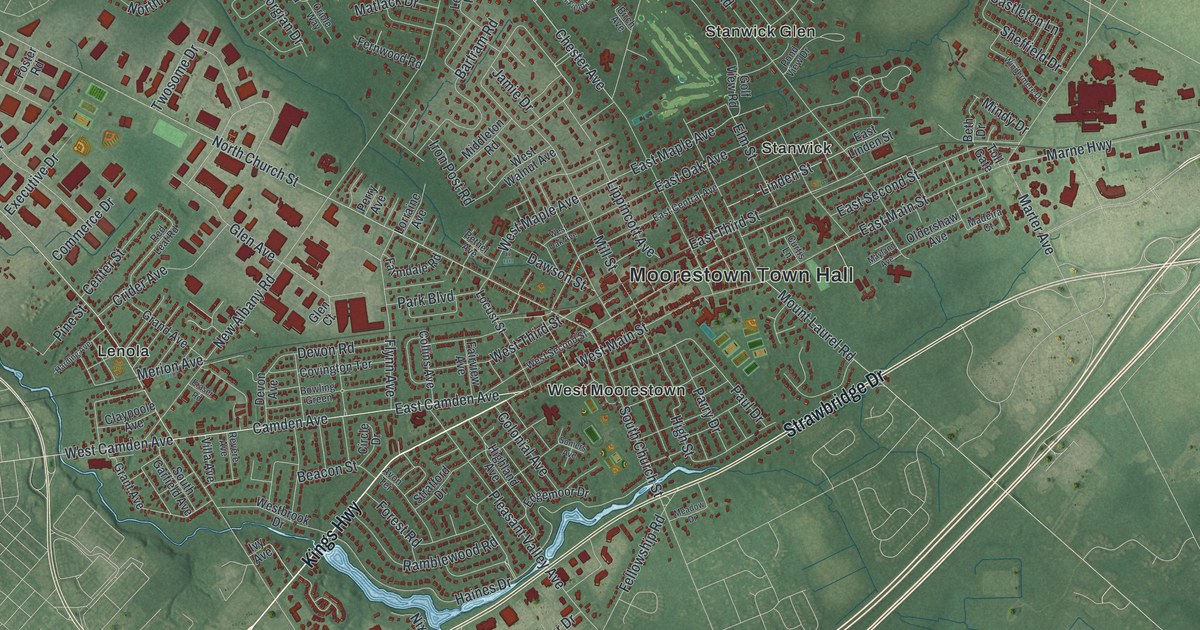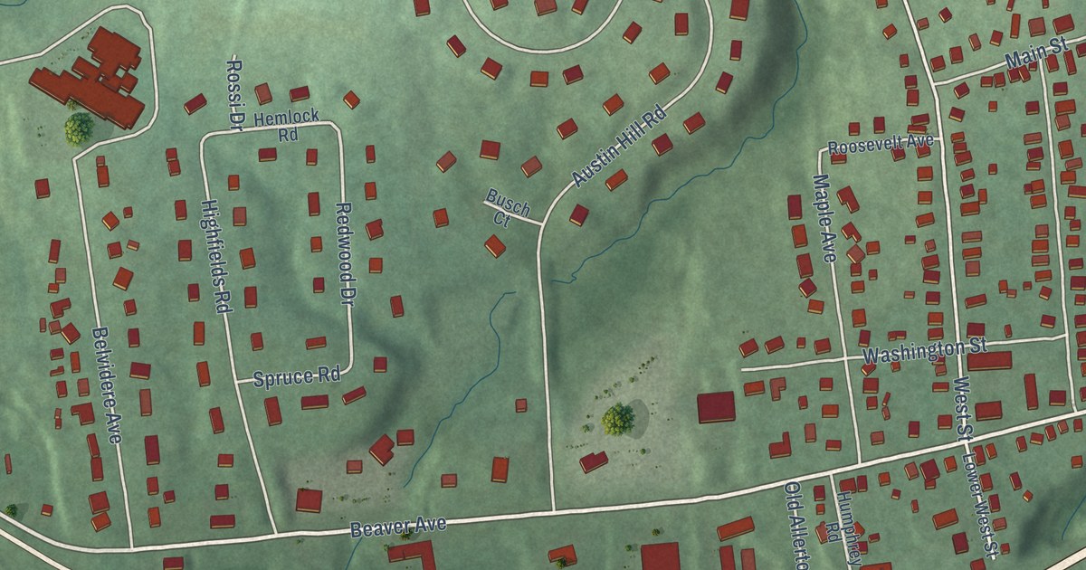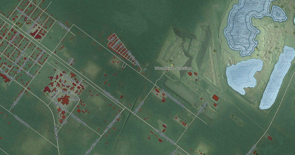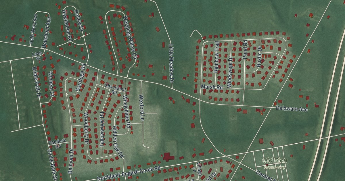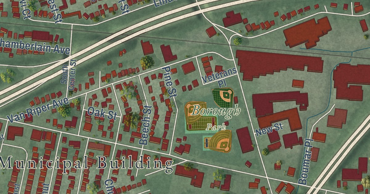
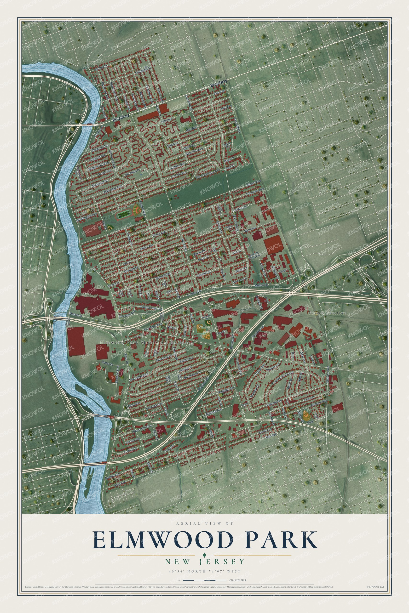
This beautifully detailed map of Elmwood Park, New Jersey was created in 2026 using aerial imagery combined with modern topographical, census, street and landmark data. It’s a one-of-a-kind view of Elmwood Park that combines accurate data with a vintage aesthetic. The map shows every building in its true location, many of the roads carry their names, and the shaded topographic relief shows the shape of the land.
Explore an aerial view of Elmwood Park, New Jersey
On the map you’ll find Elmwood Park Municipal Building, Passaic Junction, and Broadway, along with Molnar Drive, River Drive, Mola Boulevard, Market Street, East 54th Street, Falmouth Avenue, Gilbert Avenue, Lincoln Avenue, Kipp Avenue, and more. If you look closely you can even find your house accurately drawn in its correct location. Zoom in on the preview to look for yours.
Did You Know?
Before 1916 this area was Dundee Lake, a section of Saddle River Township. On April 18, 1916, residents voted to break away and form the Borough of East Paterson. Rosemont joined a year later. In November 1972 voters chose a new name, and Elmwood Park became official on January 1, 1973.
Take a closer look at the Elmwood Park map
Names on this map
These names are printed on this map.
Places: Elmwood Park Municipal Building, Borough Park and Passaic Junction.
Streets and roads: Broadway, Molnar Drive, River Drive, Mola Boulevard, Market Street, East 54th Street, Falmouth Avenue, Gilbert Avenue, Lincoln Avenue, Kipp Avenue, Orchard Street, Van Riper Avenue.
More street names, A to Z
13th Avenue, 14th Avenue, 15th Avenue, 16th Avenue, 17th Avenue, 18th Avenue, Ackerman Avenue, Ann Street, Arena Court, Augusta Street, Bank Street, Bart Place, Beech Street, Bellevue Avenue, Birchwood Drive, Boulevard, Boumar Place, Bredder Court, Brookside Avenue, Bushes Lane, Cadmus Avenue, Caruth Avenue, Chamberlain Avenue, Chobot Lane, Church Street, Cole Street, Columbia Street, Cory Lane, Court Street, Craig Court, Dapp Court, Donor Avenue, Doremus Place, Dye Avenue, East 53rd Street, East 54th Street Extension, East 55th Street, East Parkway, East Phillip Avenue, East Washington Avenue, Echo Place, Elizabeth Avenue, Elmhurst Street, Elm Street, Elmwood Court, Elmwood Drive, Elmwood Terrace, English Avenue, Fencsak Avenue, First Street, Florence Place, Fournier Crescent, Franklin Street, Gall Avenue, Gall Court, Gantner Avenue, Garden Drive, Gardners Lane, Garvey Place, Glenwood Avenue, Godwin Avenue, Grant Street, Greenwood Avenue, Grove Street, Hamilton Avenue, Henry Street, Herman Street, Hillman Drive, Homestead Road, Ingraffia Drive, Iozia Terrace, James Court, Jan Court, Lee Street, Legion Place, Leliarts Lane, Linden Avenue, Linwood Avenue, Livi Court, Locust Street, Main Avenue, Maltese Avenue, Maplewood Avenue, Marginal Road, Martha Avenue, Memorial Place, Meyer Street, Midland Avenue, Miles Street, Miller Avenue, Mill Street, New Street, North Street, Oak Street, Obal Avenue, Orange Avenue, Page Street, Palsa Avenue, Parkview Avenue, Paterson Avenue, Paul Court, Paul Kohner, Philip Avenue, Pine Street, Ray Street, Reihl Street, Riverfront Boulevard, River Road, Roosevelt Avenue, Rosedale Avenue, Rosemont Avenue, Roth Street, Rudolph Avenue, Sabo Court, Second Street, Slater Drive, Slaughter Dam Road, South Center Street, Speidel Avenue, Spruce Street, Stefanic Avenue, Sterling Street, Stone Avenue, Streuli Court, Summit Avenue, Susan Court, Third Street, Tina Court, Tuella Avenue, Veterans Place, Viviney Street, Wallace Street, Walnut Street, Washington Avenue, Wenzel Street, West Parkway, West Street, Willow Street.
See it on a wall
The Elmwood Park map as an 18 x 24 inch print in a black frame.

This beautifully detailed map of Elmwood Park makes an attractive addition to your office, library, or den, and it can even be used to teach children the geography and history of the area. It also makes a great gift for someone who left Elmwood Park and still calls it home. When you’re done exploring, click here to get your copy of the Elmwood Park map.