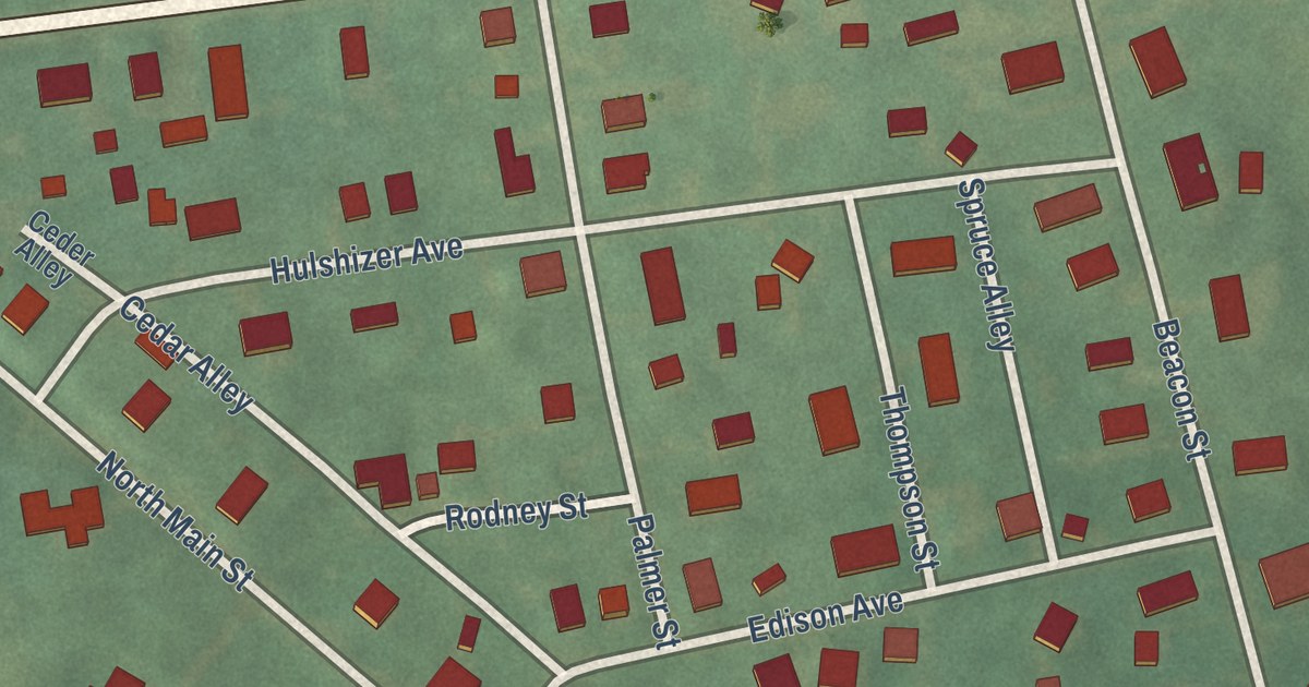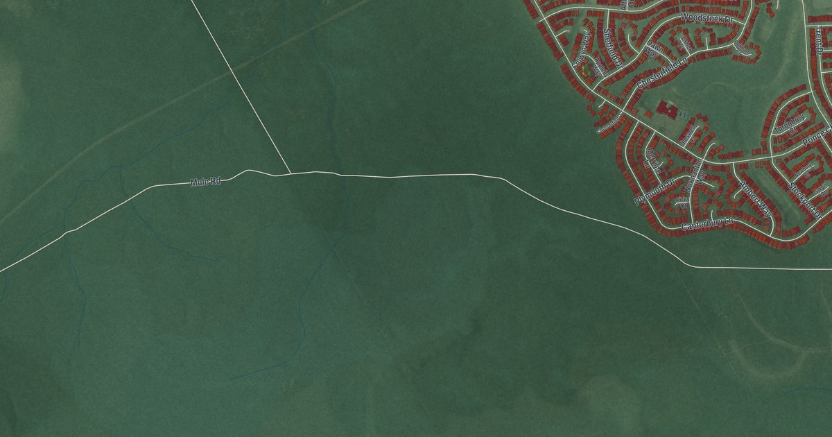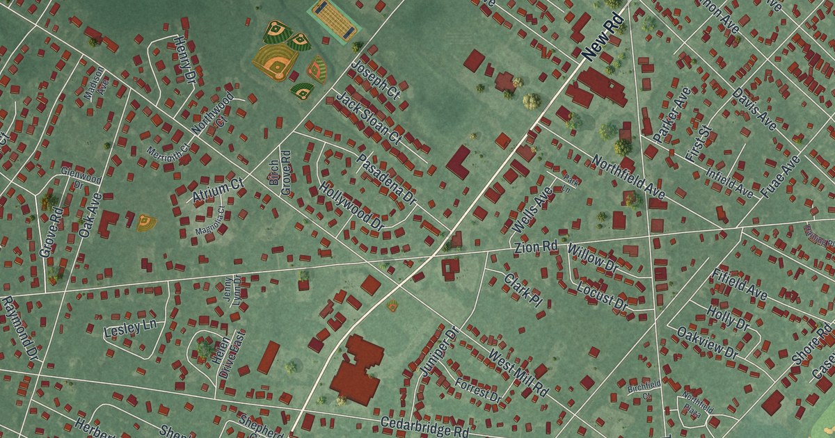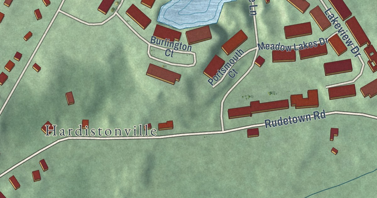
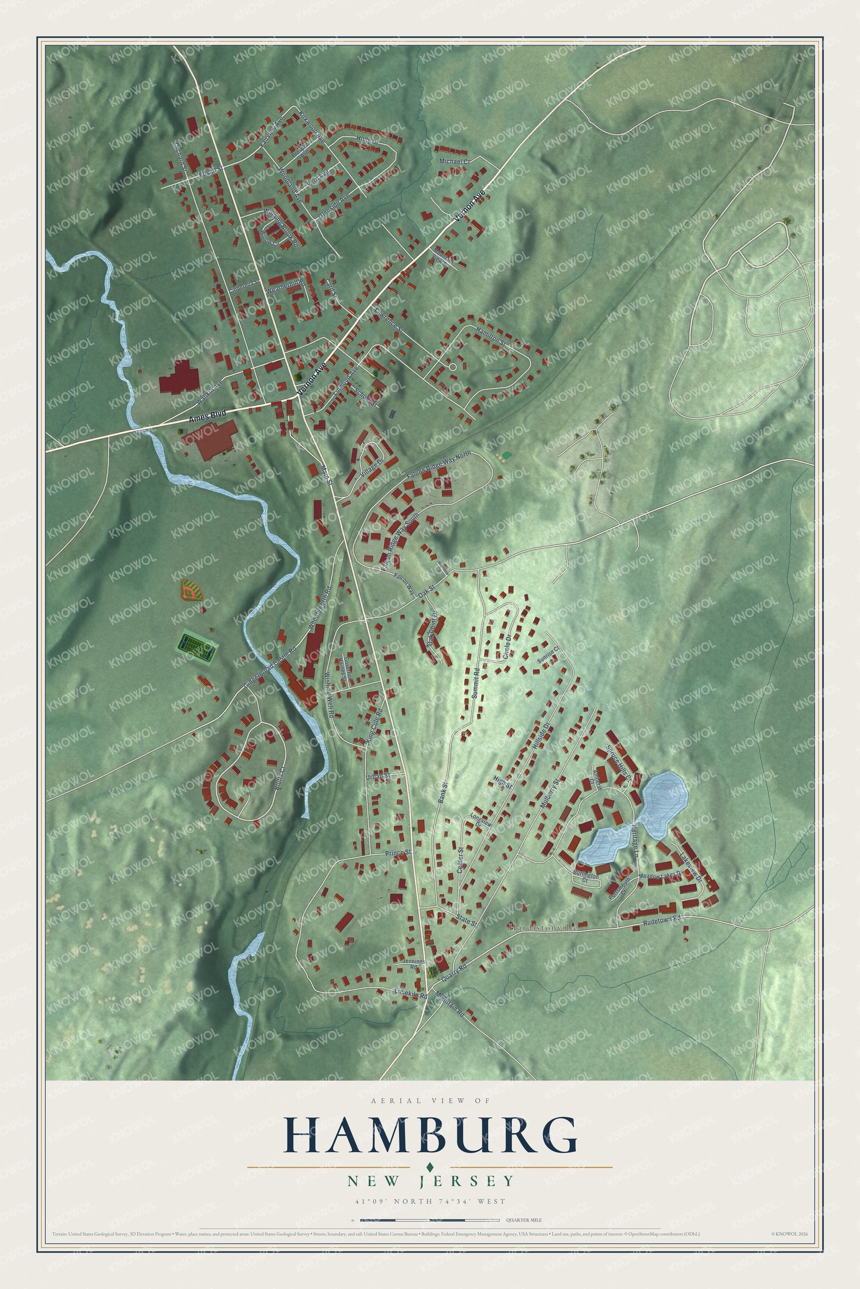
This beautifully detailed map of Hamburg, New Jersey was created in 2026 using aerial imagery combined with modern topographical, census, street and landmark data. It’s a one-of-a-kind view of Hamburg that combines accurate data with a vintage aesthetic. The map shows every building in its true location, many of the roads carry their names, and the shaded topographic relief shows the shape of the land.
Explore an aerial view of Hamburg, New Jersey
On the map you’ll find Hardistonville, along with Vernon Avenue, Ames Boulevard, Bluffs Court, Fairview Avenue, Mulberry Street, Hillside Drive, Heritage Lane, Limekiln Road, Falcon Ridge Way North, Orchard Street, Gingerbread Castle Road, and more. If you look closely you can even find your house accurately drawn in its correct location. Zoom in on the preview to look for yours.
Did You Know?
The borough took its name from Hamburg, Germany. For more than a century the area belonged to Hardyston or Vernon townships. In 1920, local voters approved a referendum, and Hamburg became its own borough.
Take a closer look at the Hamburg map
Names on this map
These names are printed on this map.
Places: Hardistonville.
Streets and roads: Vernon Avenue, Ames Boulevard, Bluffs Court, Fairview Avenue, Mulberry Street, Hillside Drive, Heritage Lane, Limekiln Road, Falcon Ridge Way North, Orchard Street, Gingerbread Castle Road, Wallkill Avenue.
More street names, A to Z
Amherst Court, Bank Street, Burlington Court, Card Street, Center Street, Cinderella Street, Circle Drive, Edsall Street, Falcon Ridge Way South, Falcon Way, Fern Avenue, Glenside Avenue, Governor Haines Street, Hamilton Street, High Street, Highview Street, Holly Drive, Jennings Road, King Cole Road, Kirkwood Avenue, Lakeview Drive, Lawrence Street, Linwood Avenue, Longview Drive, Main Street, Meadow Lakes Drive, Michael Court, Mountain Road, Mountain View Street, Oak Point Drive, Oak Street, Portsmouth Court, Prince Street, Prospect Avenue, Quarry Road, Rudetown Road, School Street, Spruce Hills Court, State Street, Summit Road, Sunrise Court, Urban Street, Village Drive, Weatherhill Road, Wheatsworth Road, Willow Circle, Winding Brook Road, Wishing Well Road, Woodland Avenue.
See it on a wall
The Hamburg map as an 18 x 24 inch print in a black frame.

This beautifully detailed map of Hamburg makes an attractive addition to your office, library, or den, and it can even be used to teach children the geography and history of the area. It also makes a great gift for someone who left Hamburg and still calls it home. When you’re done exploring, click here to get your copy of the Hamburg map.