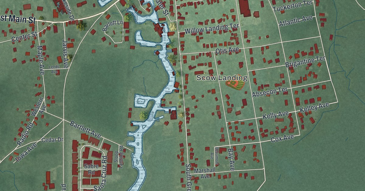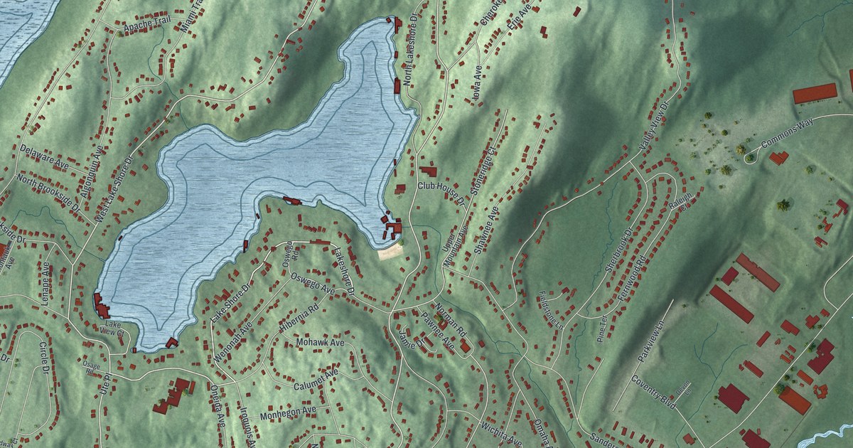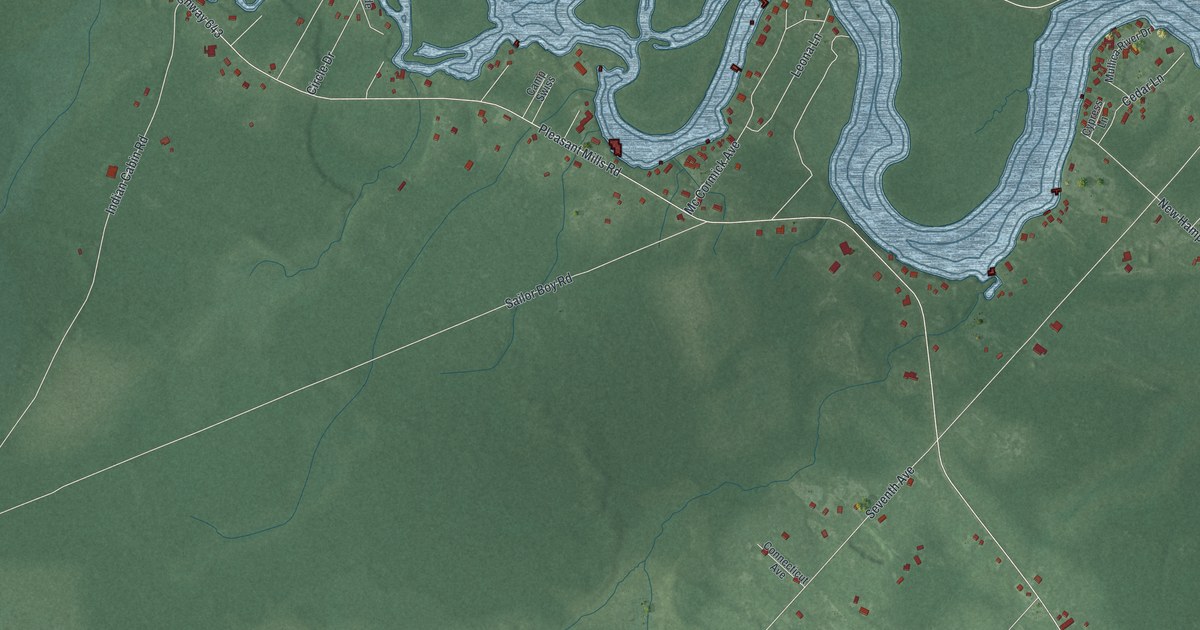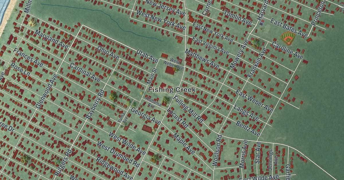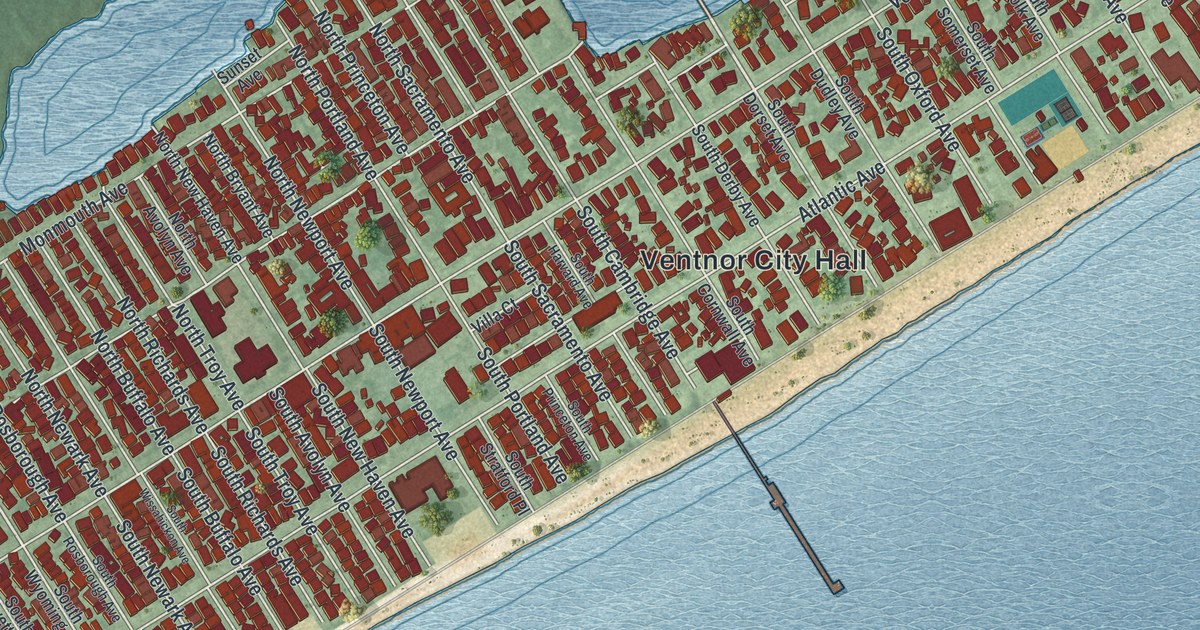
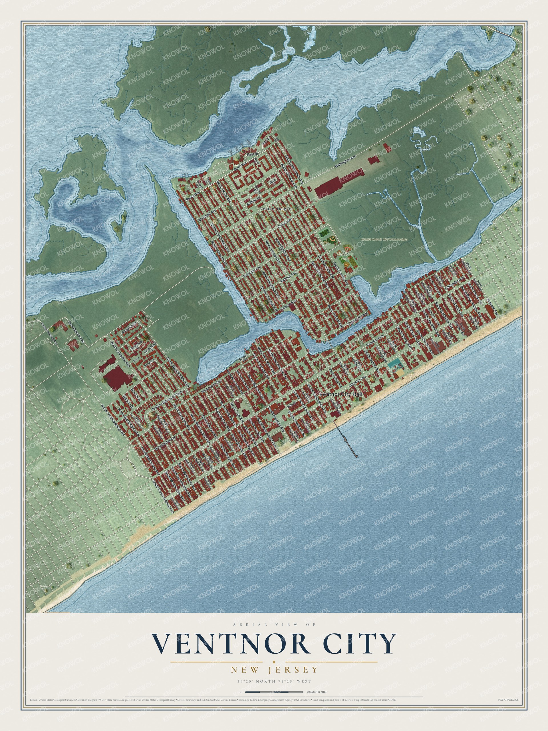
This beautifully detailed map of Ventnor City, New Jersey was created in 2026 using aerial imagery combined with modern topographical, census, street and landmark data. It’s a one-of-a-kind view of Ventnor City that combines accurate data with a vintage aesthetic. The map shows every building in its true location, many of the roads carry their names, and the shaded topographic relief shows the shape of the land.
Explore an aerial view of Ventnor City, New Jersey
On the map you’ll find Ventnor City Hall, Ventnor Heights, and Ventnor Park, along with Fulton Avenue, Burk Avenue, Little Rock Avenue, Burke Avenue, and more. If you look closely you can even find your house accurately drawn in its correct location. Zoom in on the preview to look for yours.
Did You Know?
Ventnor got its name in January 1889. S. Bartram Richards suggested it after visiting the seaside resort of that name on England’s Isle of Wight. Her husband helped run the Camden and Atlantic Land Company as its secretary-treasurer. The company was developing the area. The new city held its first meeting on April 20, 1903, at the Carisbrooke Inn.
Take a closer look at the Ventnor City map
Names on this map
These names are printed on this map.
Places: Ventnor City Hall, Ventnor Heights, Atlantic Heights Bird Conservatory and Ventnor Park.
Streets and roads: Fulton Avenue, Burk Avenue, North Little Rock Avenue, Burke Avenue, Hart Lane, North Surrey Avenue, Winchester Avenue, North Dorset Avenue, North Victoria Avenue, Wellington Avenue, North Wyoming Avenue, Swarthmore Avenue.
More street names, A to Z
Atlantic Avenue, Balfour Avenue, Berkshire Drive, Burghley Avenue, Burk Court, Burke Court, Callender Avenue, Calvert Avenue, Canterbury Court, Cornwall Avenue, East Drive, Edgewater Avenue, Essex, Fredericksburg Avenue, Fremont Avenue, Hampshire Drive, Hart Drive, Jackson Avenue, Kingsley Drive, Marshall Avenue, Monmouth Avenue, North Austin Avenue, North Avolyn Avenue, North Baltimore Avenue, North Baton Rouge Avenue, North Bryant Avenue, North Buffalo Avenue, North Burghley Avenue, North Cambridge Avenue, North Cornwall Avenue, North Derby Avenue, North Dudley Avenue, North Fredricksburg Avenue, North Harvard Avenue, North Hillside Avenue, North Jackson Avenue, North Lafayette Avenue, North Martindale Avenue, North Melbourne Avenue, North Nashville Avenue, North Newark Avenue, North New Haven Avenue, North Newport Avenue, North Oakland Avenue, North Oxford Avenue, North Portland Avenue, North Princeton Avenue, North Richards Avenue, North Rosborough Avenue, North Sacramento Avenue, North Somerset Avenue, North Suffolk Avenue, North Swarthmore Avenue, North Troy Avenue, North Washington Avenue, North Weymouth Avenue, North Wissahickon Avenue, Oxford Avenue, South Amherst Avenue, South Austin Avenue, South Avolyn Avenue, South Baltimore Avenue, South Baton Rouge Avenue, South Buffalo Avenue, South Cambridge Avenue, South Cornwall Avenue, South Derby Avenue, South Dorset Avenue, South Dudley Avenue, South Frankfort Avenue, South Fredricksburg Avenue, South Harvard Avenue, South Hillside Avenue, South Jackson Avenue, South Lafayette Avenue, South Little Rock Avenue, South Marion Avenue, South Martindale Avenue, South Melbourne Avenue, South Nashville Avenue, South Newark Avenue, South New Haven Avenue, South Newport Avenue, South Oakland Avenue, South Oxford Avenue, South Pittsburgh Avenue, South Portland Avenue, South Princeton Avenue, South Richards Avenue, South Rosborough Avenue, South Sacramento Avenue, South Somerset Avenue, South Stratford Place, South Suffolk Avenue, South Surrey Avenue, South Swarthmore Avenue, South Troy Avenue, South Vassar Square, South Victoria Avenue, South Washington Avenue, South Weymouth Avenue, South Wissahickon Avenue, South Wyoming Avenue, Suffolk Court, Sunset Avenue, Ventnor Avenue, Ventnor Gardens Plaza, Villa Court, Waldon Drive, Windsor Drive.
See it on a wall
The Ventnor City map as an 18 x 24 inch print in a black frame.

This beautifully detailed map of Ventnor City makes an attractive addition to your office, library, or den, and it can even be used to teach children the geography and history of the area. It also makes a great gift for someone who left Ventnor City and still calls it home. When you’re done exploring, click here to get your copy of the Ventnor City map.