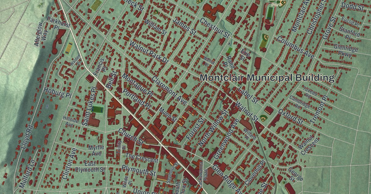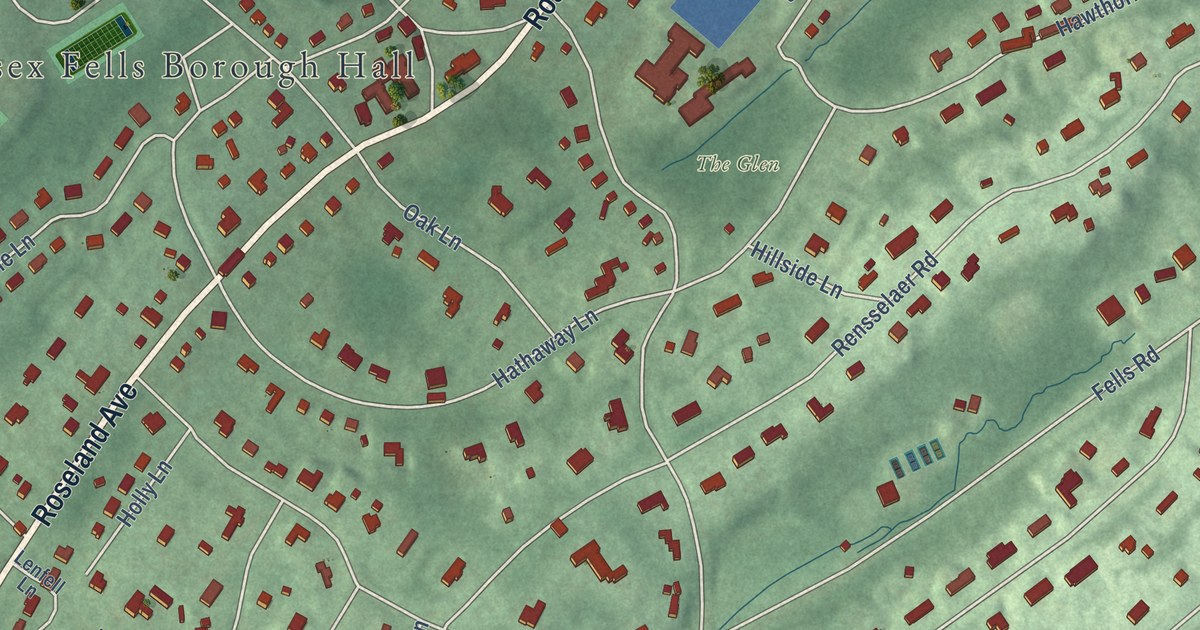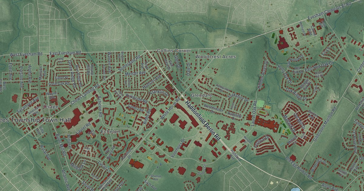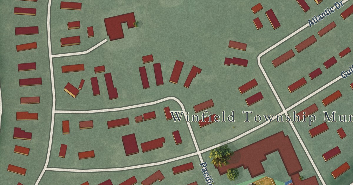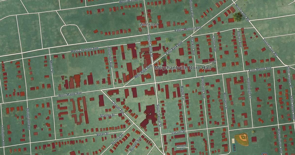
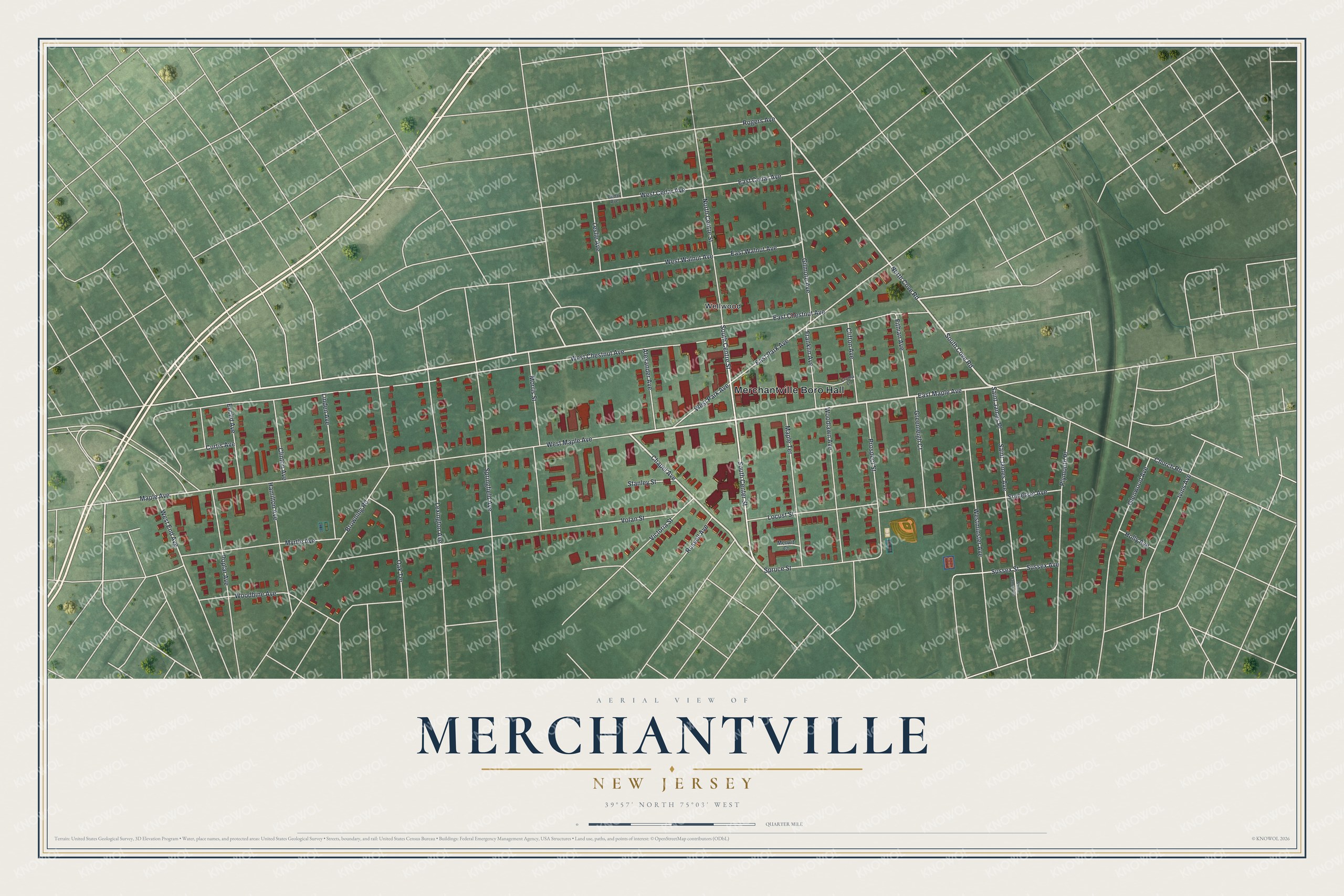
This beautifully detailed map of Merchantville, New Jersey was created in 2026 using aerial imagery combined with modern topographical, census, street and landmark data. It’s a one-of-a-kind view of Merchantville that combines accurate data with a vintage aesthetic. The map shows every building in its true location, many of the roads carry their names, and the shaded topographic relief shows the shape of the land.
Explore an aerial view of Merchantville, New Jersey
On the map you’ll find Merchantville Boro Hall and Wellwood, along with Chestnut Avenue, Maple Avenue, Cove Road, Chapel Avenue, and more. If you look closely you can even find your house accurately drawn in its correct location. Zoom in on the preview to look for yours.
Did You Know?
Merchantville first grew in the 1860s, after the Camden and Burlington Railroad arrived. Telephone service and a post office came to Merchantville before anywhere else nearby. A second boom followed the Ben Franklin Bridge, when commuter trains carried residents straight to downtown Philadelphia. That’s from the Borough of Merchantville.
Take a closer look at the Merchantville map
Names on this map
These names are printed on this map.
Places: Merchantville Boro Hall and Wellwood.
Streets and roads: West Chestnut Avenue, East Maple Avenue, South Cove Road, Chapel Avenue, North Cove Road, South Center Street, South Centre Street, Maple Avenue, West End Avenue, West Cedar Avenue, West Walnut Avenue, East Park Avenue.
More street names, A to Z
Alexander Avenue, Browning Road, Cedar Avenue, Church Road, Clifton Avenue, Clinton Avenue, Crump Lane, Curtis Avenue, East Cedar Avenue, East Chestnut Avenue, East Walnut Avenue, Euclid Avenue, Fithian Avenue, Franklin Avenue, Gilmore Avenue, Glenwood Avenue, Greenleigh Court, Hamilton Avenue, Holly Avenue, Ivins Avenue, Leslie Avenue, Lexington Avenue, Linden Avenue, Locust Street, Maple Terrace, Merwit Court, Morris Street, Myrtle Avenue, North Centre Street, Oak Terrace, Plymouth Place, Poplar Avenue, Prospect Street, Rogers Avenue, Russell Avenue, Saint James Avenue, Saint James Place, Somerset Avenue, Springfield Avenue, Spruce Street, Stanley Street, Sussex Avenue, Sussex Street, Victoria Street, Volan Street, West Maple Avenue, Westminster Avenue, West Park Avenue, Woodbine Avenue, Woodlawn Avenue.
See it on a wall
The Merchantville map as an 18 x 24 inch print in a black frame.

This beautifully detailed map of Merchantville makes an attractive addition to your office, library, or den, and it can even be used to teach children the geography and history of the area. It also makes a great gift for someone who left Merchantville and still calls it home. When you’re done exploring, click here to get your copy of the Merchantville map.