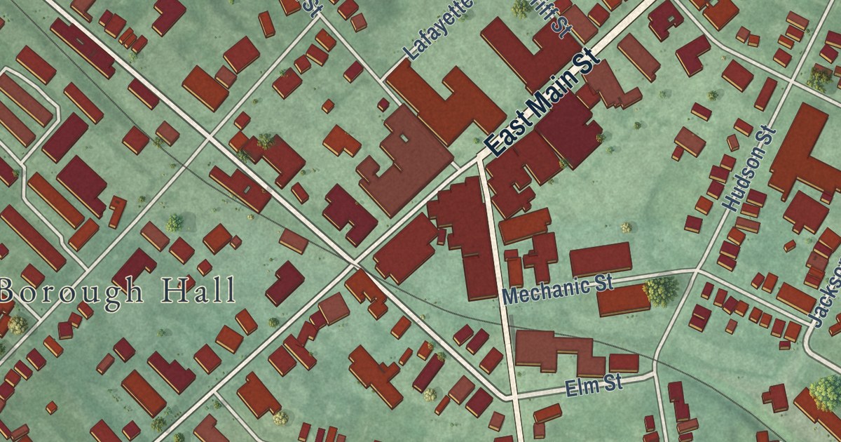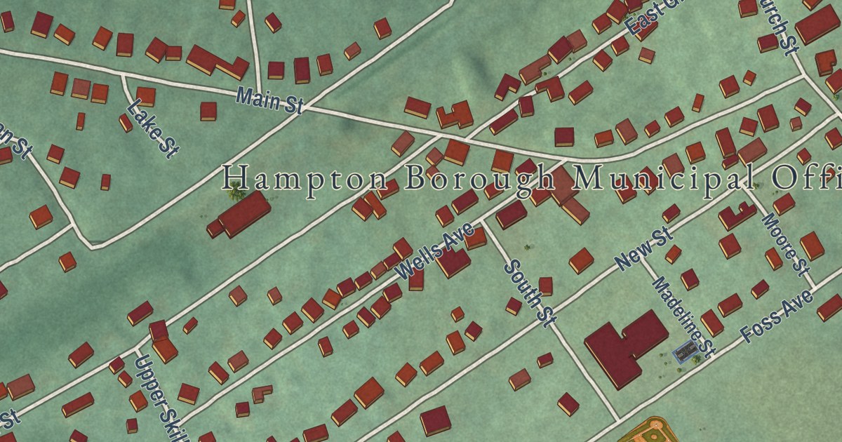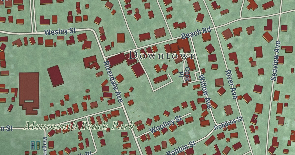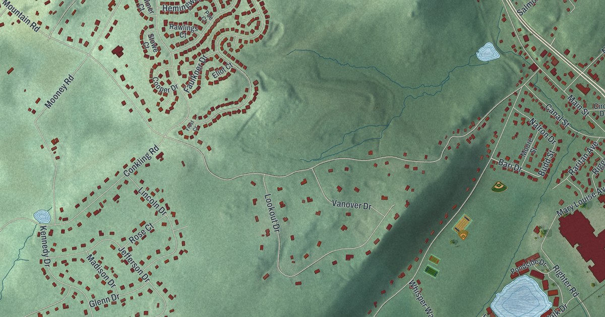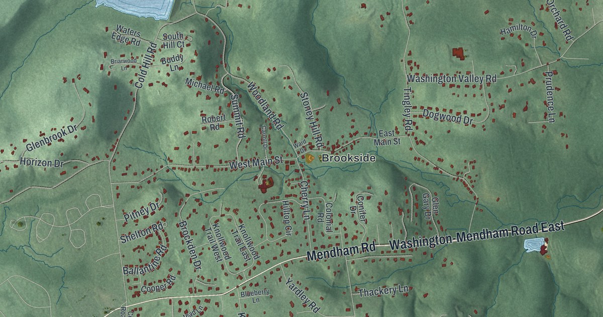
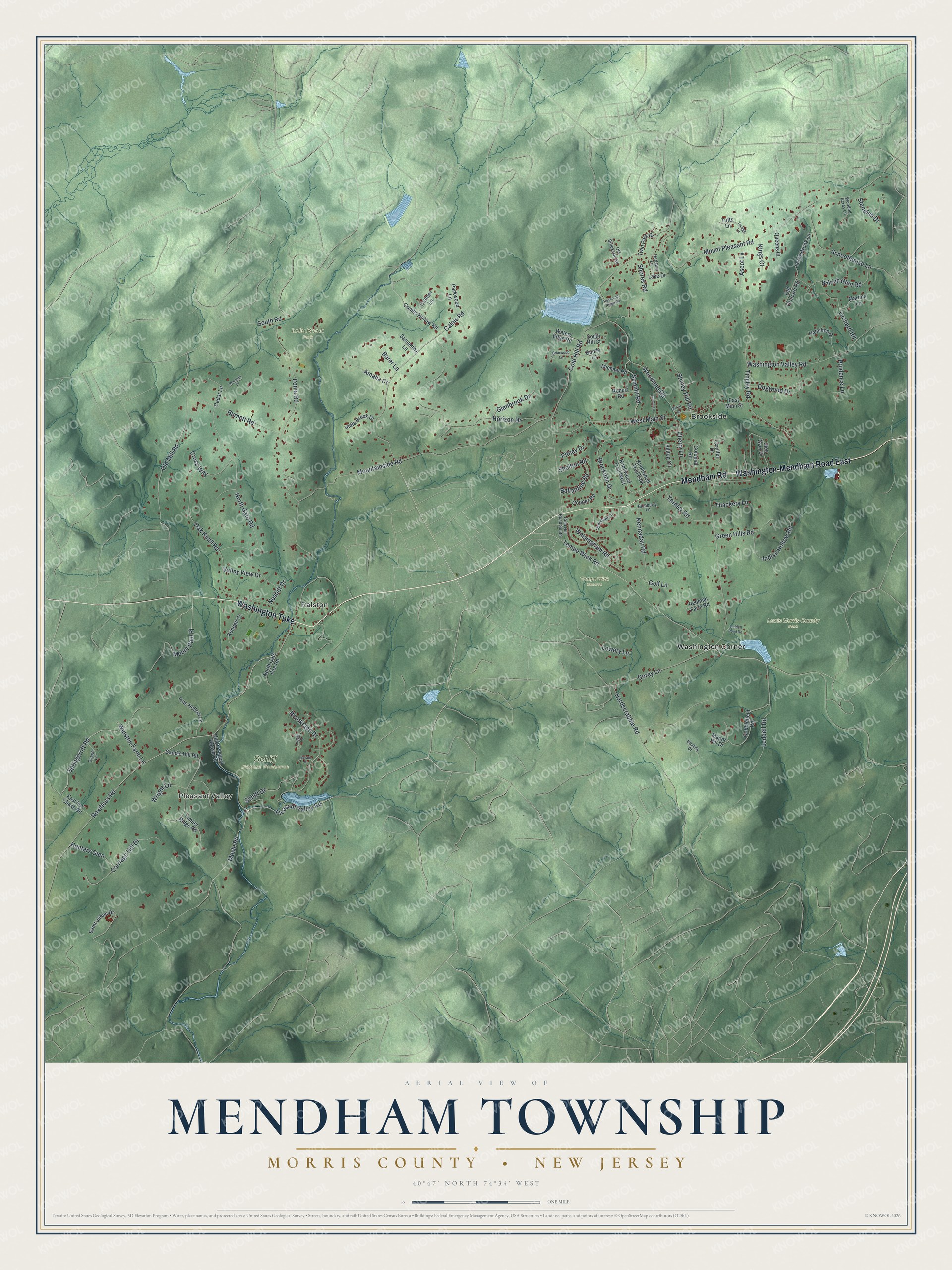
This beautifully detailed map of Mendham, Morris County, New Jersey was created in 2026 using aerial imagery combined with modern topographical, census, street and landmark data. It’s a one-of-a-kind view of Mendham that combines accurate data with a vintage aesthetic. The map shows every building in its true location, many of the roads carry their names, and the shaded topographic relief shows the shape of the land.
Explore an aerial view of Mendham, Morris County, New Jersey
On the map you’ll find Pleasant Valley, Ralston, Brookside, Washington Corner, India Brook Park, Lewis Morris County Park, Schiff Nature Preserve, and Tempe Wick Reserve, along with Mendham Road, Washington-Mendham Road, Washington Turnpike, Roxiticus Road, Mosle Road, and more. If you look closely you can even find your house accurately drawn in its correct location. Zoom in on the preview to look for yours.
Did You Know?
The Black Horse Inn has stood at the Mendham crossroads since Colonial times. A former owner claimed it opened in 1735 and hired a local sign painter. The painter insisted the true date was 1743. He would paint it right or not at all, so the sign went up saying 1743. That’s from the 1939 WPA guide to New Jersey.
Take a closer look at the Mendham, Morris County map
Names on this map
These names are printed on this map.
Places: Pleasant Valley, Ralston, India Brook Park, Lewis Morris County Park, Schiff Nature Preserve, Tempe Wick Reserve, Brookside and Washington Corner.
Streets and roads: Mendham Road, Washington-Mendham Road East, Washington Turnpike, Roxiticus Road, Mosle Road, Pleasant Valley Road, Springcroft Road, Tempe Wick Road, Ironia Road, Corey Lane, Mountainside Road, Mount Pleasant Road.
More street names, A to Z
Amalia Court, Ascot Lane, Ballantine Road, Barer Lane, Beverly Drive, Blueberry Lane, Briarwood Lane, Brockden Drive, Brookrace Drive, Buddy Lane, Burnett Road, Byram Court, Calais Road, Carriage Hill Drive, Carroll Drive, Cedar Lane, Cherry Lane, Cobblefield Road, Cold Hill Road, Cold Hill Road South, Colonial Road, Combs Hollow Road, Conifer Drive, Cooper Road, Cramer Lane, Cross Way, Dogwood Drive, East Fox Chase Road, East Main Street, Glenbrook Drive, Glen Gary Drive, Golf Lane, Green Hills Road, Hamilton Drive, Hardscrabble Road, Herbann Lane, Hilltop Circle, Horizon Drive, Hunters Glen, India Brook Drive, Indian Hollow Road, Kendall Court, Kennaday Road, Kings Court, Knollwood Trail East, Knollwood Trail West, Lake Drive, Leddell Pond Road, Leddell Road, Logan Court, Loree Brook Lane, Lowery Lane, Manor Hill Drive, Martins Lane, Michael Road, Mount Paul Place, Nesbitt Drive, North Gate Fire Road, North Gate Road, Oak Knoll Road, Old Brookside Road, Old Mill Road, Old Orchard Road, Olmstead Lane, Orchard Road, Osage Lane, Parkwood Lane, Pine Hollow Lane, Pitney Drive, Prudence Lane, Queens Court, Redman Farm Road, Reservoir Ridge Road, Robert Road, Roconan Drive, Saddle Hill Road, Saint Johns Drive, Samantha Lane, Schiff Drive, Schoolhouse Lane, Shelton Road, Shores Road, South Hill Court, South Road, Standish Drive, Stoney Hill Road, Summit Road, Tanager Lane, Thackery Lane, Timber Ridge Road, Tingley Road, Tufts Lane, Twin Park Drive, Union School House Road, Valley View Drive, Walsingham Road, Ward Drive, Washington Valley Road, Waters Edge Road, West Main Street, Wilrich Glen Road, Winston Farm Lane, Wooded Acres Lane, Woodland Road, Wright Lane, Yardley Road.
See it on a wall
The Mendham Township, Morris County map as an 18 x 24 inch print in a black frame.

This beautifully detailed map of Mendham, Morris County makes an attractive addition to your office, library, or den, and it can even be used to teach children the geography and history of the area. It also makes a great gift for anyone who grew up in Mendham or moved away. When you’re done exploring, click here to get your copy of the Mendham, Morris County map.