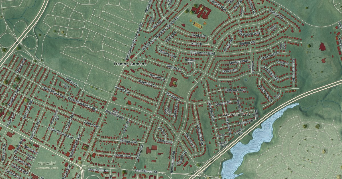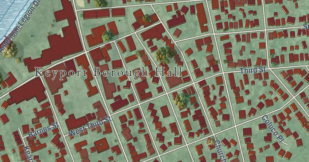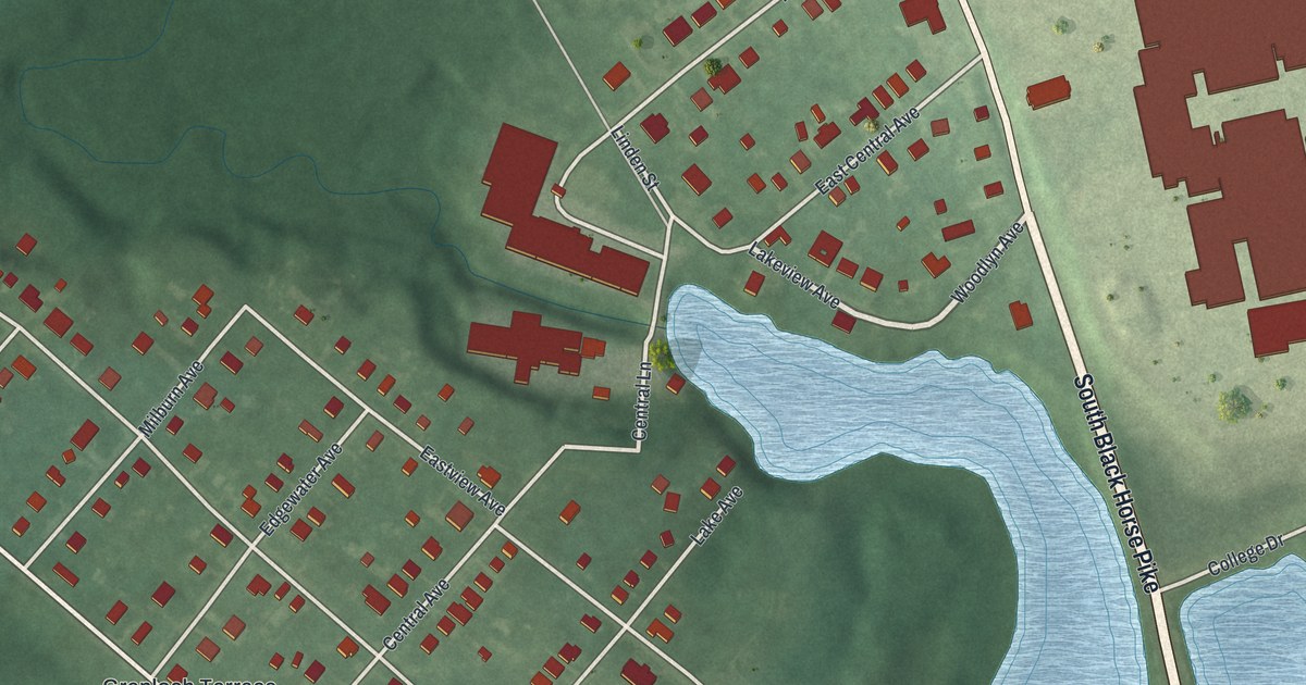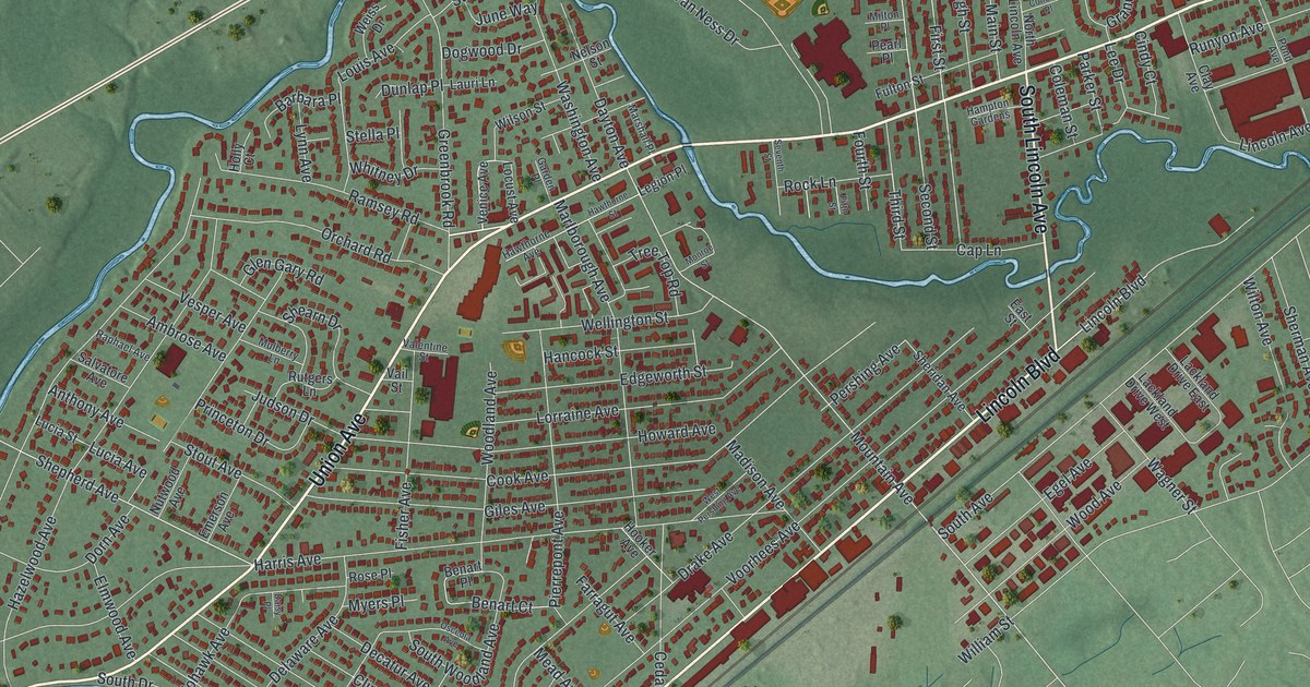
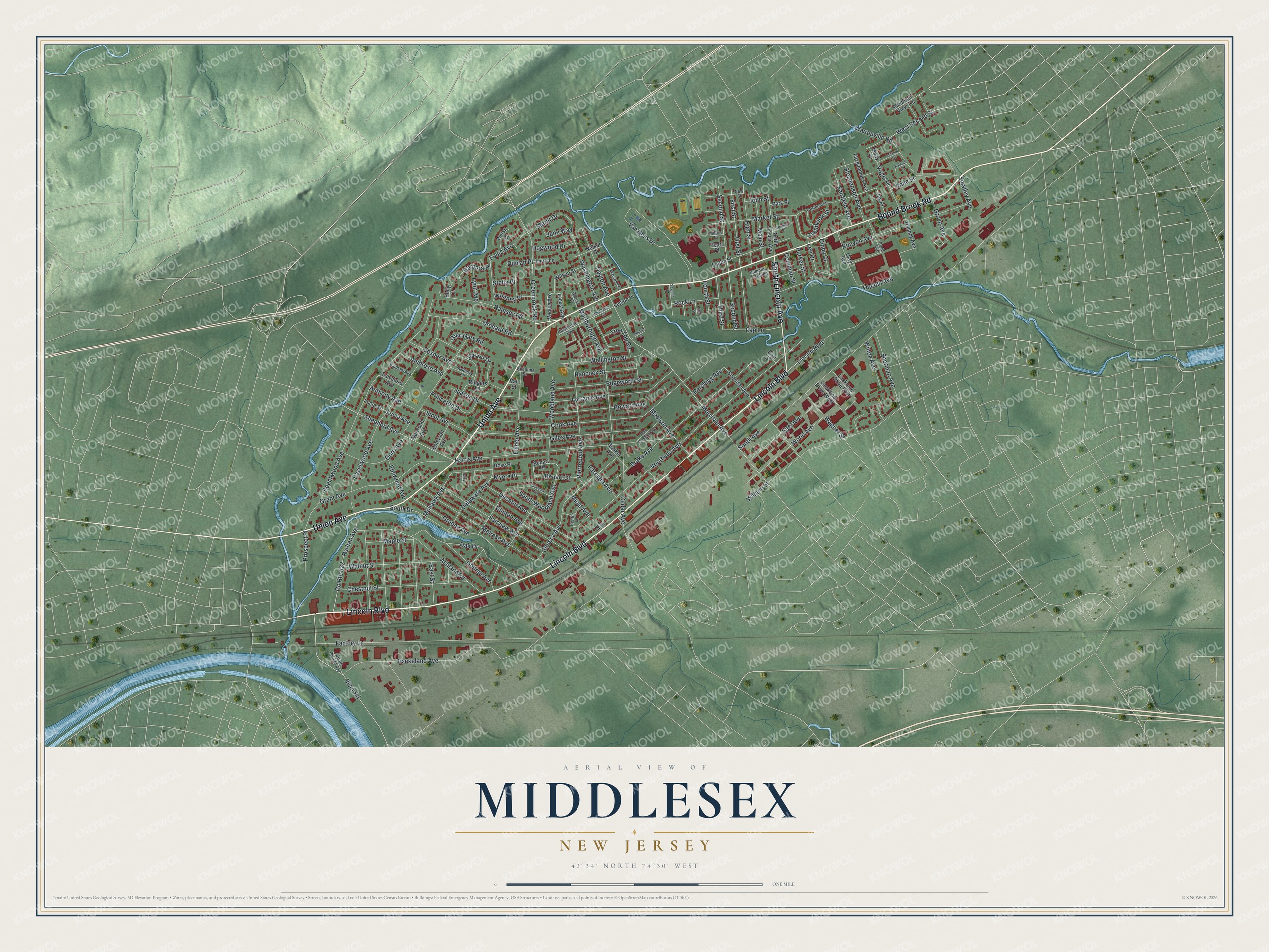
This beautifully detailed map of Middlesex, New Jersey was created in 2026 using aerial imagery combined with modern topographical, census, street and landmark data. It’s a one-of-a-kind view of Middlesex that combines accurate data with a vintage aesthetic. The map shows every building in its true location, many of the roads carry their names, and the shaded topographic relief shows the shape of the land.
Explore an aerial view of Middlesex, New Jersey
On the map you’ll find Lincoln Boulevard, Union Avenue, Bound Brook Road, Lincoln Avenue, Ramsey Road, and more. If you look closely you can even find your house accurately drawn in its correct location. Zoom in on the preview to look for yours.
Did You Know?
Middlesex was named after Middlesex, England. It belonged to Piscataway Township until May 6, 1913. That day, a local referendum made it a separate borough. Voters elected George Harris as the first mayor, along with the first borough council.
Take a closer look at the Middlesex map
Names on this map
These names are printed on this map.
Streets and roads: Lincoln Boulevard, Union Avenue, Bound Brook Road, South Lincoln Avenue, Ramsey Road, Shepherd Avenue, Mountain Avenue, South Avenue, Baekeland Avenue, Voorhees Avenue, Beechwood Avenue, Cook Avenue.
More street names, A to Z
Ambrose Avenue, Anne Street, Anthony Avenue, Ashland Road, Barbara Place, Benart Court, Benart Place, Cap Lane, Cedar Avenue, Center Place, Chestnut Street, Cindy Court, Clay Avenue, Clinton Avenue, Coleman Street, Conover Place, County Route 622, Daisy Place, Dayton Avenue, Decatur Avenue, Delaware Avenue, Dogwood Drive, Dorn Avenue, Drake Avenue, Dunlap Place, East Street, Edgeworth Street, Egel Avenue, Elmwood Avenue, Emerson Avenue, Factory Lane, Fairfield Avenue, Fairfield Street, Fairview Avenue, Farragut Avenue, Fifth Street, First Street, Fisher Avenue, Fitzsimmons Avenue, Fourth Street, Fulton Street, Garden Place, George Avenue, Giles Avenue, Glen Gary Road, Grandview Street, Grant Avenue, Greenbrook Road, Greene Avenue, Grove Avenue, Hallock Avenue, Hampton Gardens, Hancock Street, Harris Avenue, Hawthorne Avenue, Hawthorne Street, Hazelwood Avenue, High Street, Holly Court, Hooker Avenue, Howard Avenue, Jay Place, Jill Court, John Street, Judson Drive, June Way, Kalman Court, Lackland Drive East, Lackland Drive West, Lauri Lane, Lee Drive, Legion Place, Lincoln Avenue, Locust Avenue, Lonanbe Drive, Lorraine Avenue, Louis Avenue, Lucia Avenue, Lucia Street, Lynn Avenue, Madison Avenue, Main Street, Maple Street, Market Street, Marlborough Avenue, Marshall Place, Mead Avenue, Melrose Avenue, Milton Place, Misty Lane, Mohawk Avenue, Monroe Street, Mountain View Terrace, Mulberry Lane, Myers Place, Nelson Street, New Street, North Lincoln Avenue, Nutwood Avenue, Oak Drive, Orchard Road, Osceola Avenue, Parker Street, Park Place, Pearl Place, Pershing Avenue, Pierrepont Avenue, Pond Avenue, Princeton Drive, Prospect Place, Raphael Avenue, Raritan Avenue, River Road, Rock Lane, Rose Place, Runyon Avenue, Rutgers Lane, Salvatore Avenue, Second Street, Seneca Avenue, Seventh Street, Shearn Drive, Sheridan Avenue, Sherman Avenue, Smalley Avenue, South Drive, South Raritan Avenue, South Woodland Avenue, Starlit Drive, Stella Place, Stephenson Avenue, Stout Avenue, Third Street, Tree Top Road, Vail Street, Valentine Street, Van Ness Drive, Venice Avenue, Vesper Avenue, Vogel Place, Wagner Street, Walnut Street, Warrenville Road, Washington Avenue, Weiss Drive, Wellington Street, West Pershing Avenue, West Second Street, Whitney Drive, William Street, Wilson Street, Wilton Avenue, Wood Avenue, Woodland Avenue.
See it on a wall
The Middlesex map as an 18 x 24 inch print in a black frame.

This beautifully detailed map of Middlesex makes an attractive addition to your office, library, or den, and it can even be used to teach children the geography and history of the area. It also makes a great gift for someone who left Middlesex and still calls it home. When you’re done exploring, click here to get your copy of the Middlesex map.