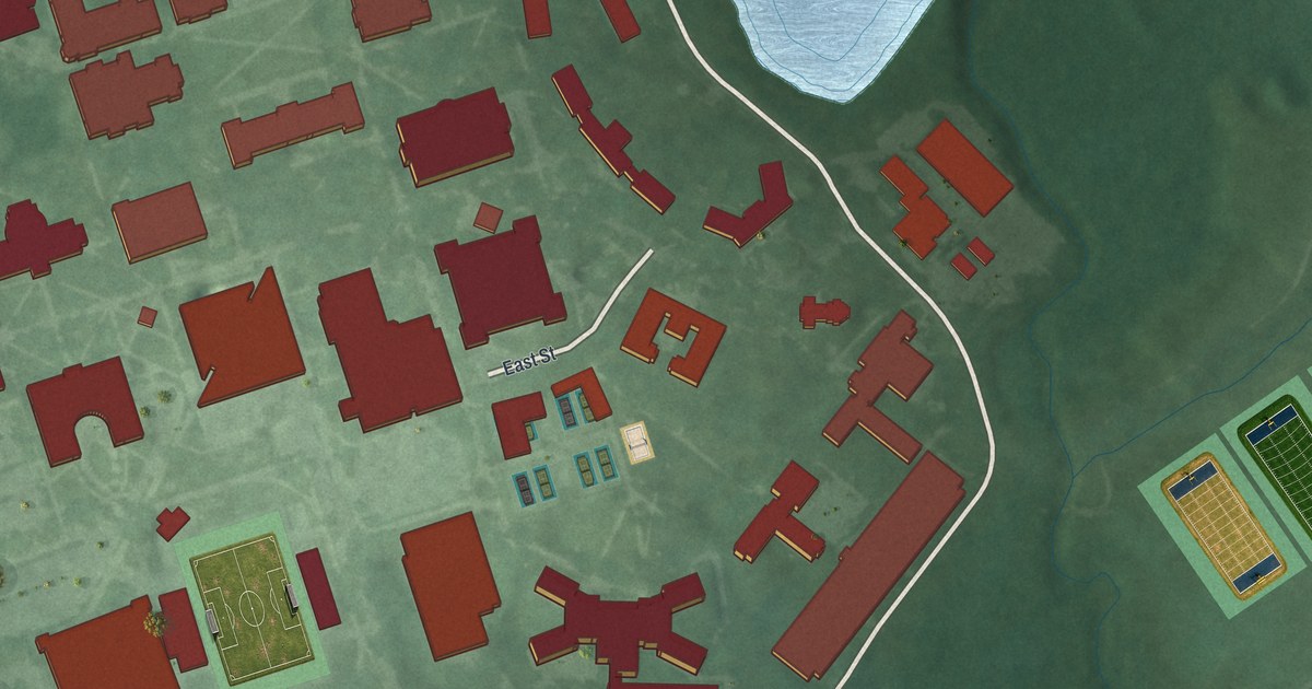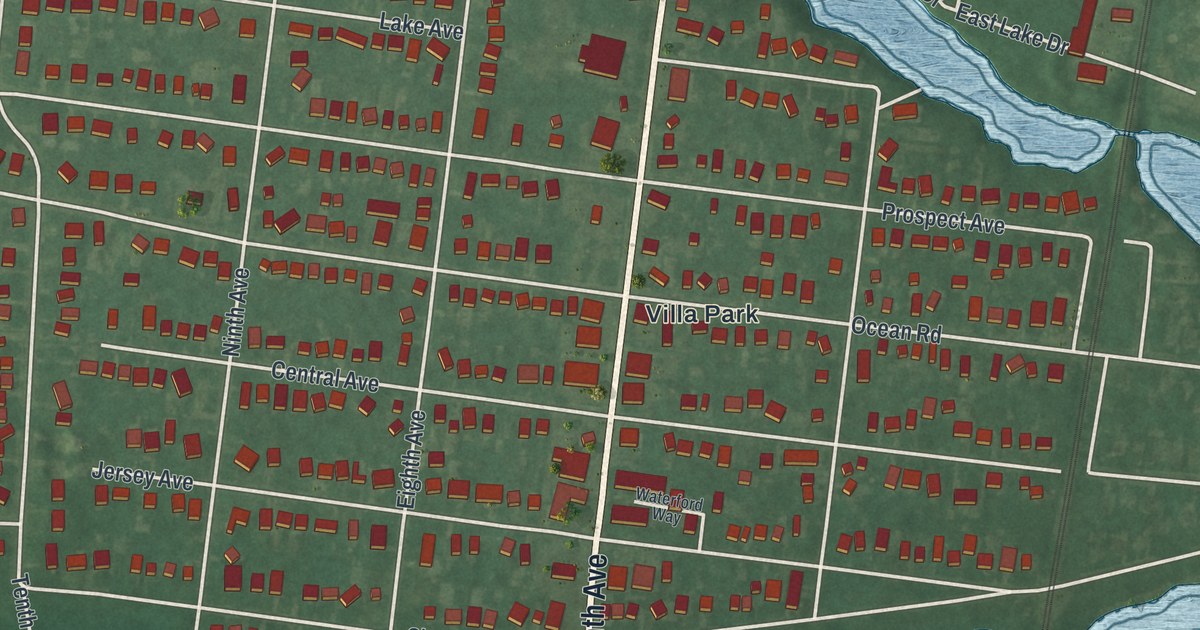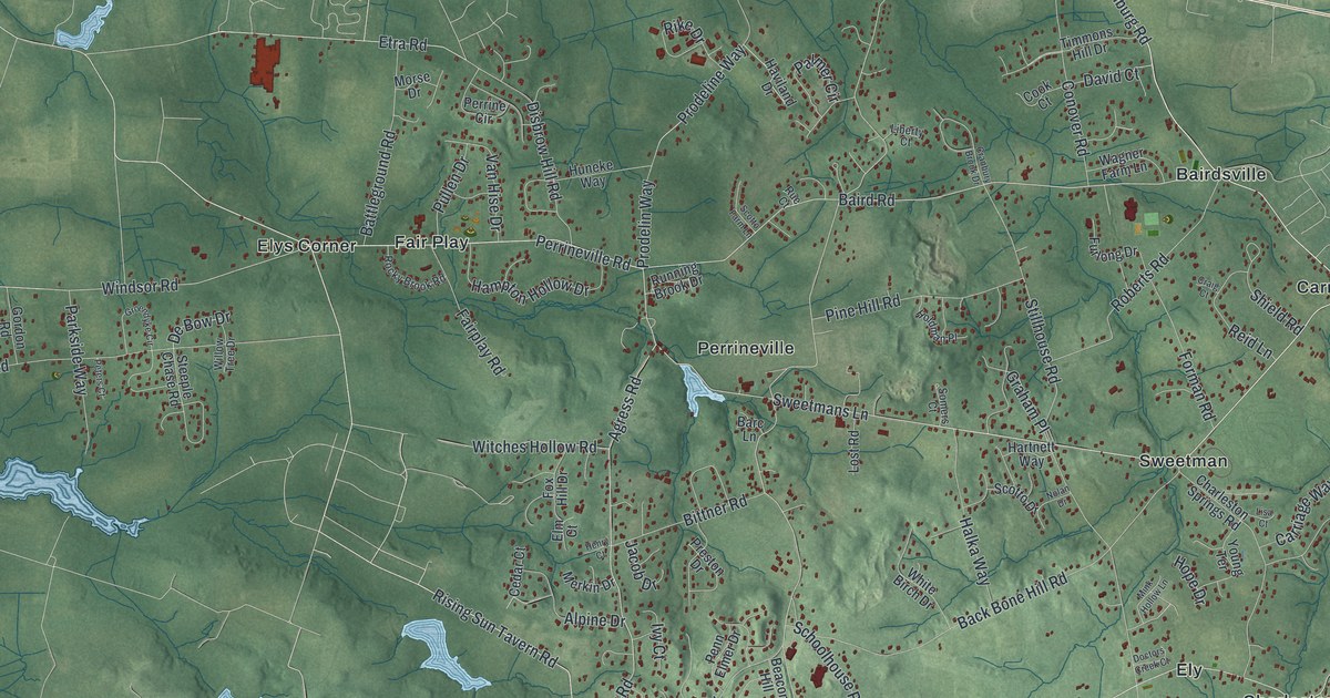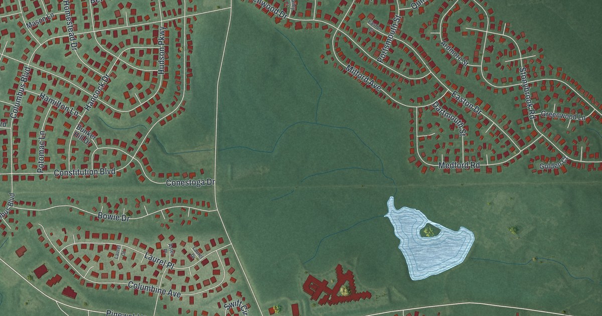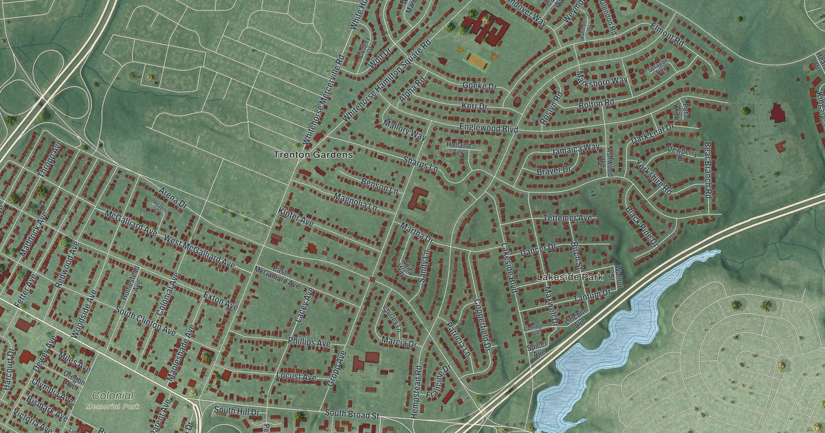
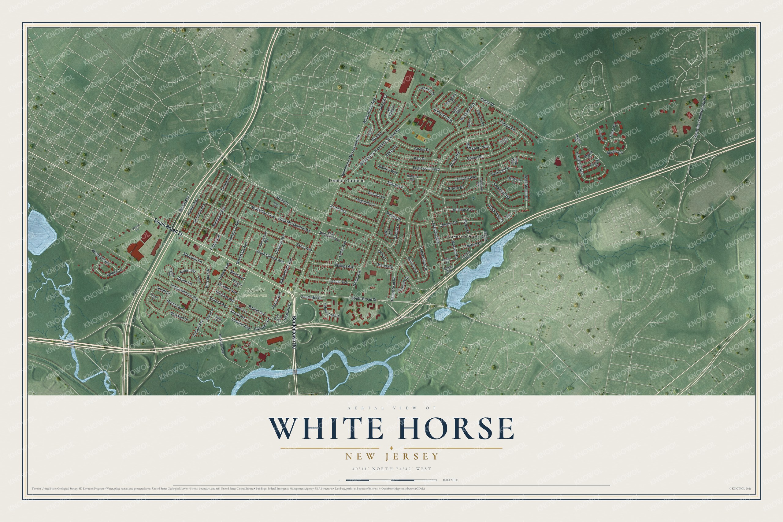
This beautifully detailed map of White Horse, New Jersey was created in 2026 using aerial imagery combined with modern topographical, census, street and landmark data. It's a modern aerial view of White Horse in Mercer County, New Jersey, that combines modern data with a vintage aesthetic. The roads feature printed names, and if you look closely you can find your exact house accurately shown in its correct location.
Explore an aerial view of White Horse, New Jersey
On this map you'll find Lakeside Park, Colonial Memorial Park, Trenton Gardens, Bordentown Road, South Broad Street, Goeke Drive, Pearson Drive, Kuser Road, White Horse Avenue, Arena Drive, Hempstead Road, Sharps Lane, and more. Each red shape is a building, so zoom in on the preview and look for yours.
Every town has a first chapter, and White Horse is no exception. White Horse took its name from its tavern. John Satterly kept an inn there during, and probably before, the Revolution, and because Washington once rode past on his white horse, Satterly named the house the White Horse and hung out a sign painted with a white horse. The second Robert Pearson built a house on the creek below White Horse in 1706, and Isaac Watson built his on the bluff toward Trenton in 1708; these were long counted the oldest dwellings in the township. That's from the History of Burlington and Mercer Counties.
White Horse is a community in Mercer County. The Census Bureau counted 9,791 people here in 2020.
Take a closer look at the White Horse map
Names on this map
These names are printed on this map.
Places: Lakeside Park, Colonial Memorial Park and Trenton Gardens.
Streets and roads: Bordentown Road, South Broad Street, Goeke Drive, Pearson Drive, Kuser Road, White Horse Avenue, Arena Drive, Hempstead Road, Sharps Lane, Englewood Boulevard, Whitehorse Hamilton Square Road, Gropp Avenue.
More street names, A to Z
Agabiti Court, Alfred Avenue, Alpha Road, Andover Way, Anita Way, Ann Marie Drive, Ashwood Road, Axford Road, Baylor Circle, Baylor Road, Bear Branch Road, Beech Avenue, Benson Lane, Birch Street, Bismark Avenue, Black Pine Drive, Bolton Road, Brafman Drive, Braver Drive, Brecht Road, Buckalew Court, Cairns Way, Camden Avenue, Cartlidge Avenue, Churchill Avenue, Colonial Avenue, Colson Avenue, Copperfield Drive, Dancer Drive, Dark Leaf Drive, Dewberry Drive, Dewey Avenue, East McGalliard Avenue, Elmont Road, Emaline Avenue, Exton Avenue, Fetter Avenue, Francine Drive, George Drive, Glendon Road, Godfrey Drive, Harcourt Drive, Harlington Drive, Heaton Drive, Hobson Avenue, Holland Terrace, Homestead Avenue, Hunter Avenue, Independence Avenue, Jamaica Way, Kerr Drive, Kingston Boulevard, Kinter Avenue, Lacey Avenue, Lakeside Boulevard, Lincoln Avenue, Linden Avenue, Locust Avenue, Maddock Avenue, Magnolia Lane, Mallory Way, Mapleshade Avenue, Marcia Drive, Marksboro Way, Martha Drive, Maxwell Drive, McGalliard Avenue, Meredith Road, Miles Avenue, Morton Avenue, Mowat Circle, Oldfield Avenue, Olympia Avenue, Oregon Avenue, Pannick Drive, Parent Avenue, Patricia Lane, Pebble Creek Drive, Petal Way, Phillips Avenue, Pizzullo Road, Powell Place, Redwood Avenue, Rodgers Circle, Roslyn Road, Runyon Drive, Ruskin Avenue, Sandy Lane, Shibla Avenue, Shirley Lane, Sierra Drive, Silverbell Court, Soloff Drive, South Clinton Avenue, South Hill Drive, Spicer Avenue, Sprague Turn, Tantum Drive, Tartear Drive, Tettemer Avenue, Thropp Avenue, Victoria Avenue, Walnut Street, Wedge Drive, Westcott Avenue, West McGalliard Avenue, Weymouth Drive, Whitehorse Mercerville Road, Wolf Drive, Woodside Avenue, Yardville Hamilton Squ Road, Yorkshire Road, Zoar Avenue.
See it on a wall
The White Horse map as a framed print. Swipe for more.


Created by KNOWOL in 2026. The buildings are small red shapes, the roads carry their printed names, and shaded relief shows the shape of the land. The title panel reads "AERIAL VIEW OF WHITE HORSE, NEW JERSEY" with 40°11' NORTH 74°42' WEST.
Hang it in the hallway, the office or the cabin, or give it to someone who left White Horse and still calls it home. Open the preview and look for a street you know. See sizes and frames for the White Horse map.