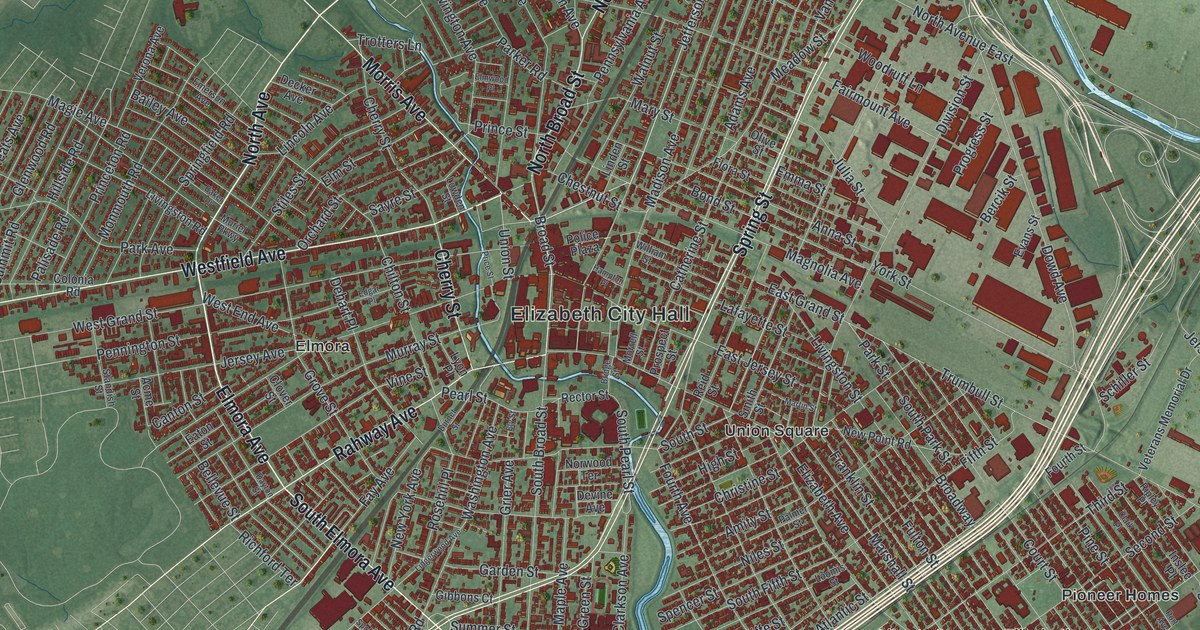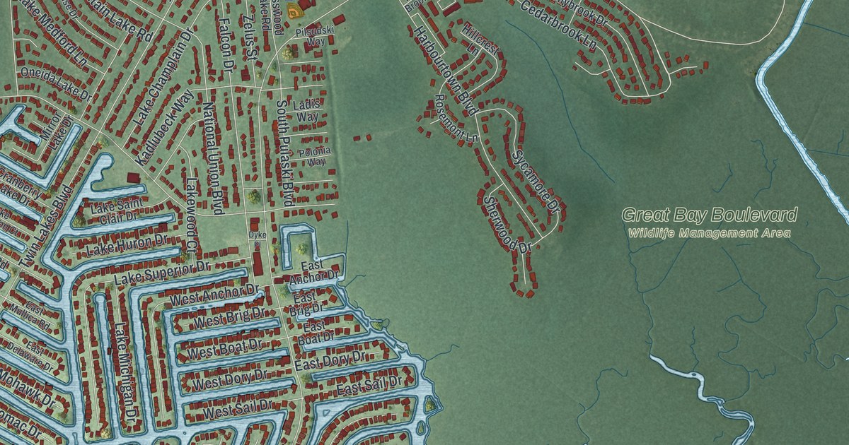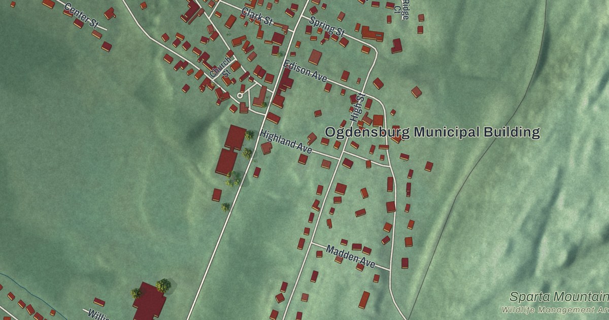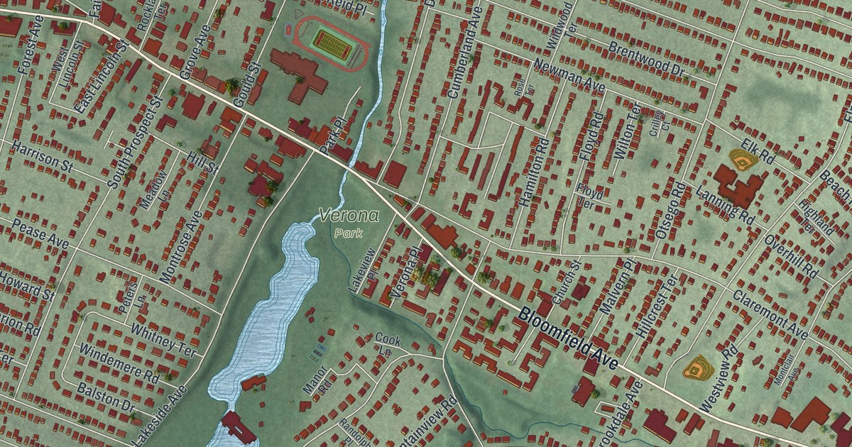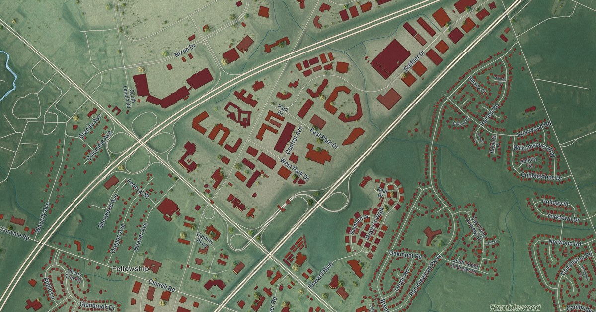
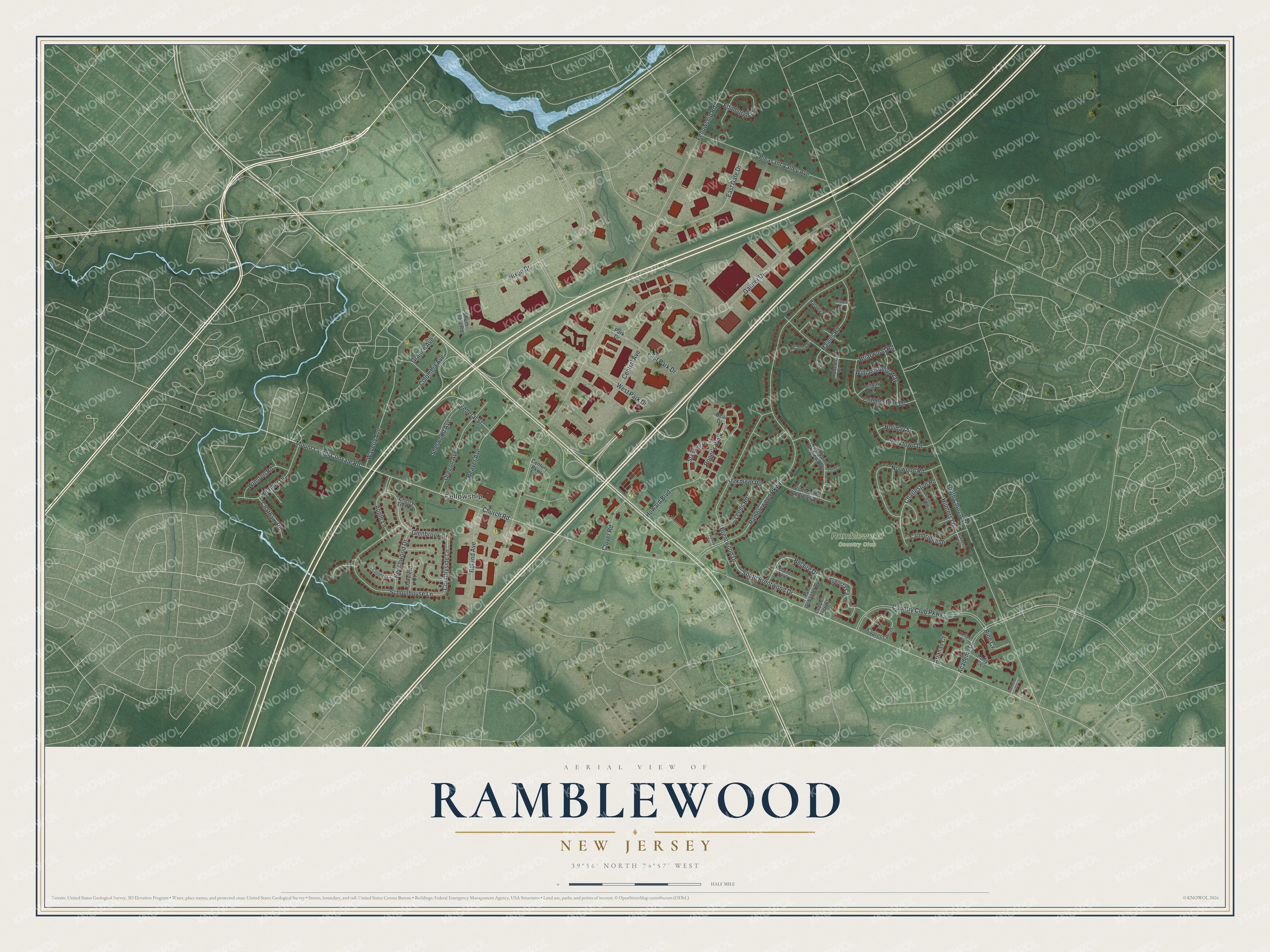
This beautifully detailed map of Ramblewood, New Jersey was created in 2026 using aerial imagery combined with modern topographical, census, street and landmark data. It's a modern aerial view of Ramblewood in Burlington County, New Jersey, that combines modern data with a vintage aesthetic. The roads feature printed names, and if you look closely you can find your exact house accurately shown in its correct location.
Explore an aerial view of Ramblewood, New Jersey
On this map you'll find Ramblewood Country Club, Fellowship, South Brentwood Drive, Glenbrook Drive, Countryside Lane, Church Road, Mount Laurel Convale Road, South Church Street, Fellowship Road, Ramblewood Parkway, Country Club Parkway, Gaither Drive, and more. Each red shape is a building, so zoom in on the preview and look for yours.
Every town has a first chapter, and Ramblewood is no exception. The Ramblewood Country Club opened in 1962 at 200 Country Club Parkway, and a newspaper ad that year showed new homes going up around it. The club began as a members-only club and opened to the public within a couple of years. Eagles quarterback Ron Jaworski golfed there during his playing days, and in 2016 he and several partners bought the club. That's from the record at 70and73.com.
Ramblewood is a community in Burlington County. The Census Bureau counted 6,655 people here in 2020.
Take a closer look at the Ramblewood map
Names on this map
These names are printed on this map.
Places: Ramblewood Country Club and Fellowship.
Streets and roads: South Brentwood Drive, Glenbrook Drive, Countryside Lane, Church Road, Mount Laurel Convale Road, South Church Street, Fellowship Road, Ramblewood Parkway, Country Club Parkway, Gaither Drive, Nixon Drive, Brentwood Drive.
More street names, A to Z
Academy Drive, Apple Lane, Arianas Court, Augusta Circle, Beaver Avenue, Beechwood Drive, Belaire Drive, Belaire Terrace, Braddock Terrace, Briarwood Road, Cambridge Drive, Camelot Court, Central Avenue, Century Parkway, Charleston Road, Chatham Road, Cherry Tree Court, Clover Road, Cobblestone Drive, Colony Place, Columbia Avenue, Copper Tree Court, Country Court, Cypress Point, Deal Drive, East Gate Drive, East Park Drive, East Saint Andrews Drive, Edinburgh Lane, Fairway Terrace, Federal Street, Golf Lane, Granite Avenue, Haines Court, Haines Road, Harvey Place, Heather Drive, Holiday Court, Holiday Street, Holly Cv, Howard Boulevard, Hunters Court, Hunters Lane, Kelly Cv, Leeds Road, Mildred Court, Norwood Road, Oakmont Road, Oakview Court, Oregon Avenue, Park Drive, Pine Cv, Pleasant Valley Avenue, Roberts Place, Roger's Walk, Roland Avenue, Schoolhouse Lane, Sherwood Avenue, South Lenola Road, South Saint Andrews Drive, Stamford Drive, Tam Oshanter Road, Waverly Avenue, West Park Drive, Williamsburg Way, Winston Road, Yorktown Drive.
See it on a wall
The Ramblewood map as a framed print. Swipe for more.


Created by KNOWOL in 2026. The buildings are small red shapes, the roads carry their printed names, and shaded relief shows the shape of the land. The title panel reads "AERIAL VIEW OF RAMBLEWOOD, NEW JERSEY" with 39°56' NORTH 74°57' WEST.
Hang it in the hallway, the office or the cabin, or give it to someone who left Ramblewood and still calls it home. Open the preview and look for a street you know. See sizes and frames for the Ramblewood map.