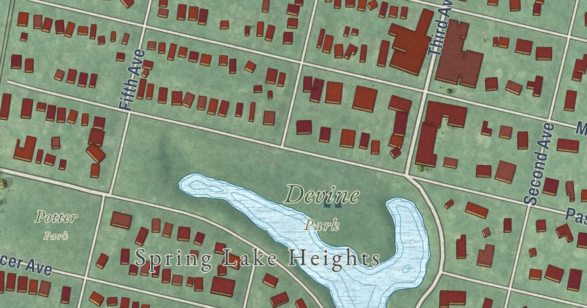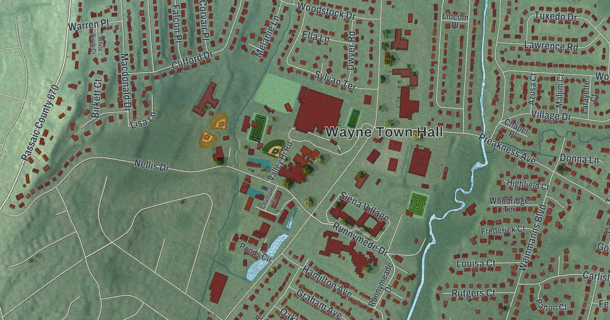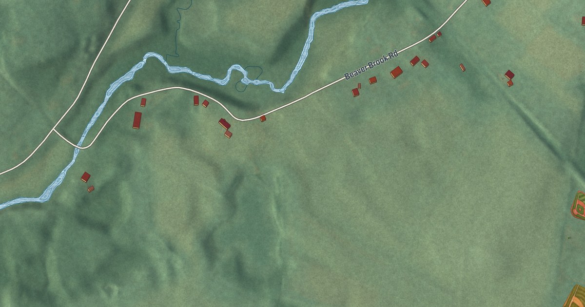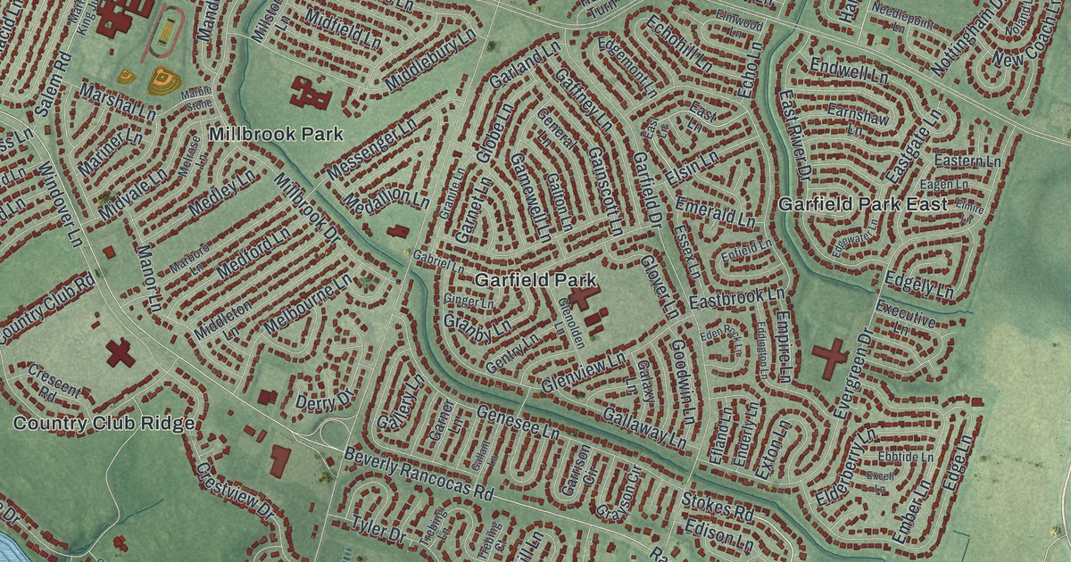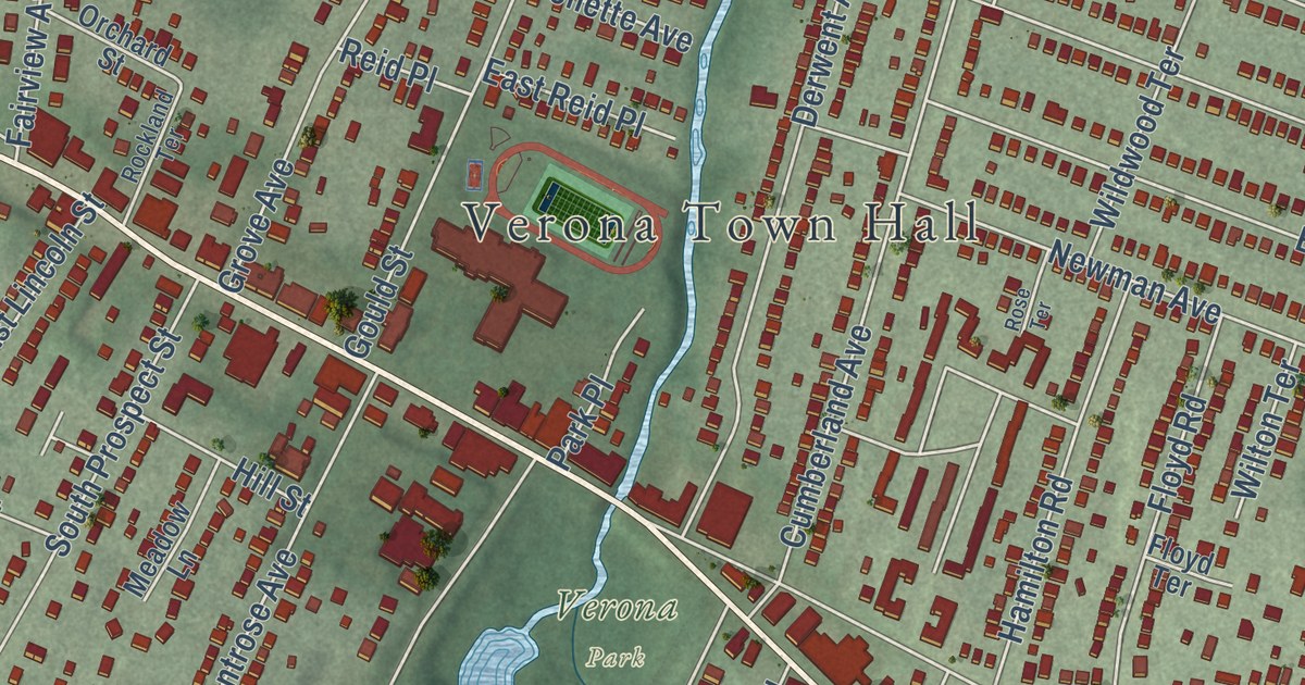
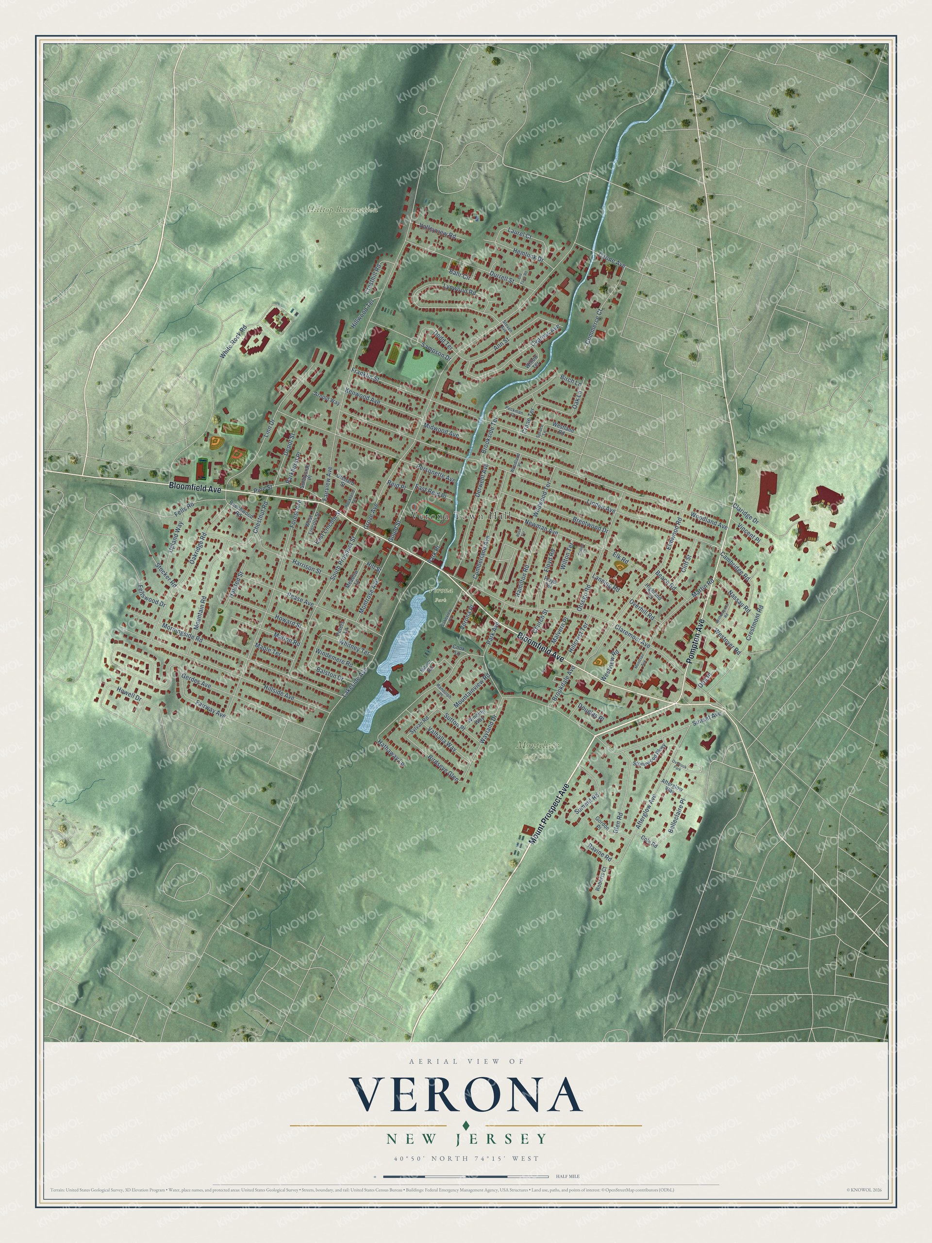
This beautifully detailed map of Verona, New Jersey was created in 2026 using aerial imagery combined with modern topographical, census, street and landmark data. It’s a one-of-a-kind view of Verona that combines accurate data with a vintage aesthetic. The map shows every building in its true location, many of the roads carry their names, and the shaded topographic relief shows the shape of the land.
Explore an aerial view of Verona, New Jersey
On the map you’ll find Bloomfield Avenue, Pompton Avenue, Mount Prospect Avenue, Linden Avenue, Grove Avenue, and more. If you look closely you can even find your house accurately drawn in its correct location. Zoom in on the preview to look for yours.
Did You Know?
Before the Revolution, the Verona area belonged to Caleb Hetfield, a Tory. He sold his land before the patriots could seize it. The land later passed to Christian Bone. Bone was a Hessian soldier who deserted King George to fight for the American side. That’s from the 1939 WPA guide to New Jersey.
Take a closer look at the Verona map
Names on this map
These names are printed on this map.
Places: Verona Town Hall, Hilltop Reservation, Montclair Golf Club, Verona Park and Overlook Park.
Streets and roads: Bloomfield Avenue, Pompton Avenue, Mount Prospect Avenue, Linden Avenue, Grove Avenue, Fairview Avenue, Claremont Avenue, White Rock Road, Sunset Avenue, Woodland Avenue, Fairway Avenue, Morningside Road.
More street names, A to Z
Afterglow Avenue, Afterglow Way, Ann Street, Arnold Way, Bahr Circle, Balston Drive, Beach Road, Beechwood Road, Belleclaire Place, Birch Lane, Birdseye Glen, Brentwood Drive, Brookdale Avenue, Brookside Terrace, Cambridge Road, Chestnut Road, Church Street, Claridge Drive, Cliff Street, Cole Road, Commerce Court, Cook Lane, Crane Terrace, Cresthill Road, Crestmont Road, Crilley Court, Cumberland Avenue, Cypress Avenue, Depot Street, Derwent Avenue, Dodd Terrace, Douglas Place, Durrell Street, East Lincoln Street, East Reid Place, Elk Road, Elmwood Road, Fells Road, Fellswood Drive, Floyd Road, Floyd Terrace, Forest Avenue, Franklin Street, Gerdes Avenue, Glen Road, Gordon Place, Gould Street, Halsted Street, Hamilton Road, Harrison Street, Hathaway Lane, Hemlock Drive, Highland Terrace, Hillcrest Terrace, Hillside Avenue, Hill Street, Hillwood Terrace, Howard Street, Howell Drive, Kenwood Avenue, Lakeside Avenue, Lakeview Place, Lanning Road, Laurel Court, Linn Drive, Lynwood Road, Malvern Place, Manor Road, Maple Terrace, Marion Road, Martin Road, Meadow Lane, Midwood Avenue, Montclair Avenue, Montrose Avenue, Mountain Road, Mountainview Road, Nassau Road, Newman Avenue, Oak Lane, Oakridge Road, Old Farm Road, Orchard Street, Otis Place, Otsego Road, Overhill Road, Ozone Avenue, Park Avenue, Parkhurst Place, Park Place, Pease Avenue, Peckman Court, Personette Avenue, Peters Lane, Pine Street, Randolph Place, Ravine Road, Reid Place, Roberts Court, Rockland Terrace, Rose Terrace, Sampson Drive, South Prospect Street, Spruce Lane, Steven Avenue, Stocker Road, Stonewood Parkway, Summit Road, Sunnyside Place, Sutton Place, Sylvan Road, Upland Way, Valhalla Way, Valleyview Road, Verona Place, Vincent Place, Wayland Drive, Westland Road, West Lincoln Street, Westover Road, Westview Road, Whitney Terrace, Wildwood Terrace, Willow Terrace, Wilton Terrace, Windemere Road, Winding Way, Witherspoon Road, Woodland Place.
See it on a wall
The Verona map as an 18 x 24 inch print in a black frame.

This beautifully detailed map of Verona makes an attractive addition to your office, library, or den, and it can even be used to teach children the geography and history of the area. It also makes a great gift for someone who left Verona and still calls it home. When you’re done exploring, click here to get your copy of the Verona map.