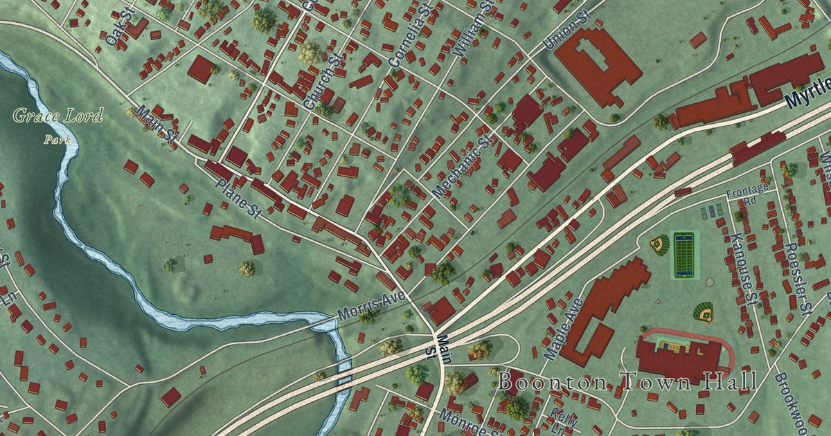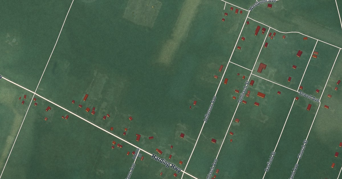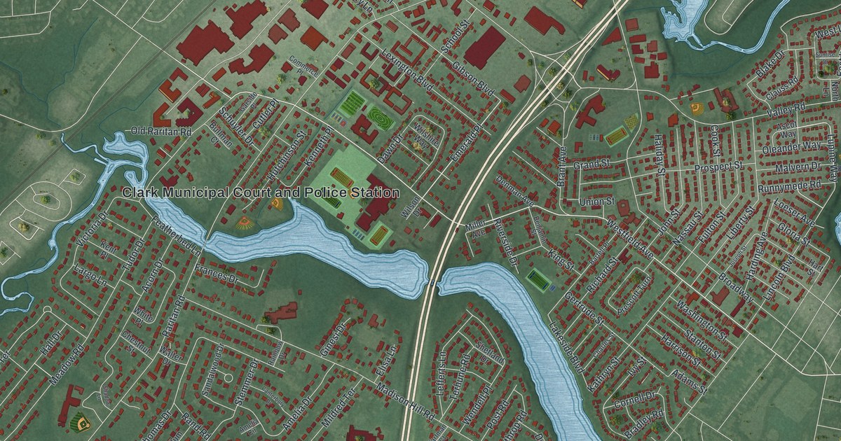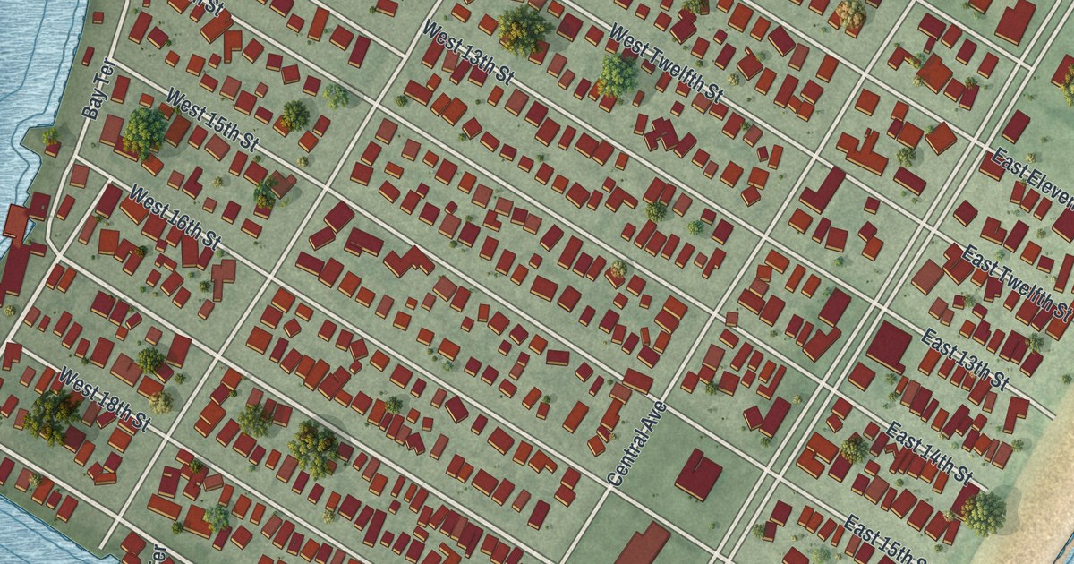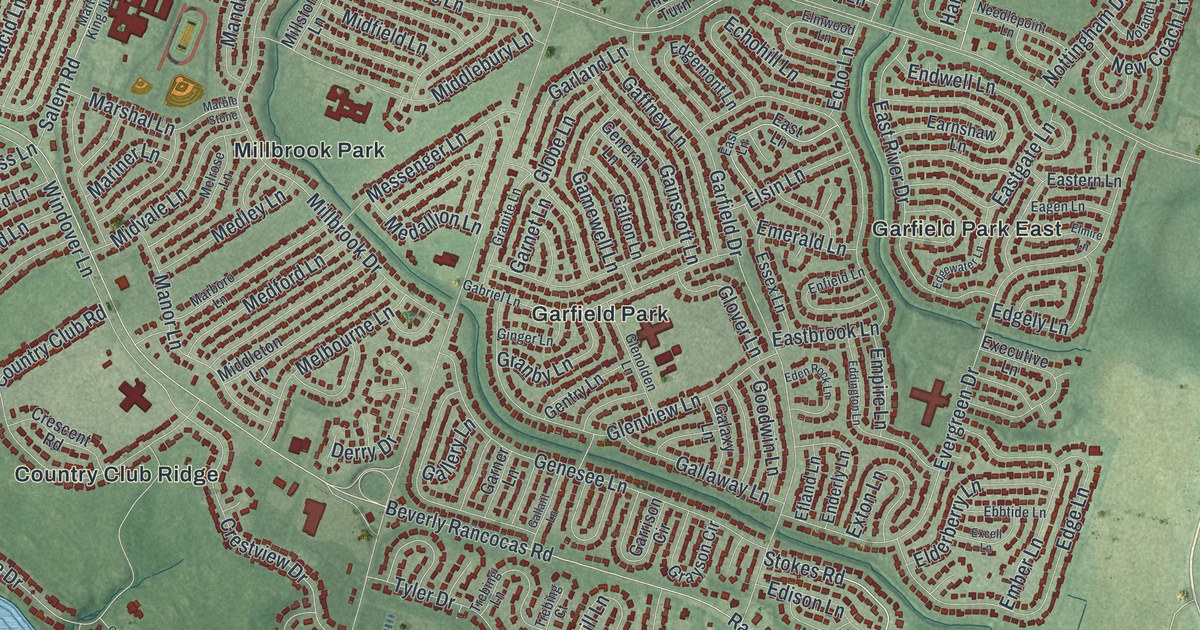
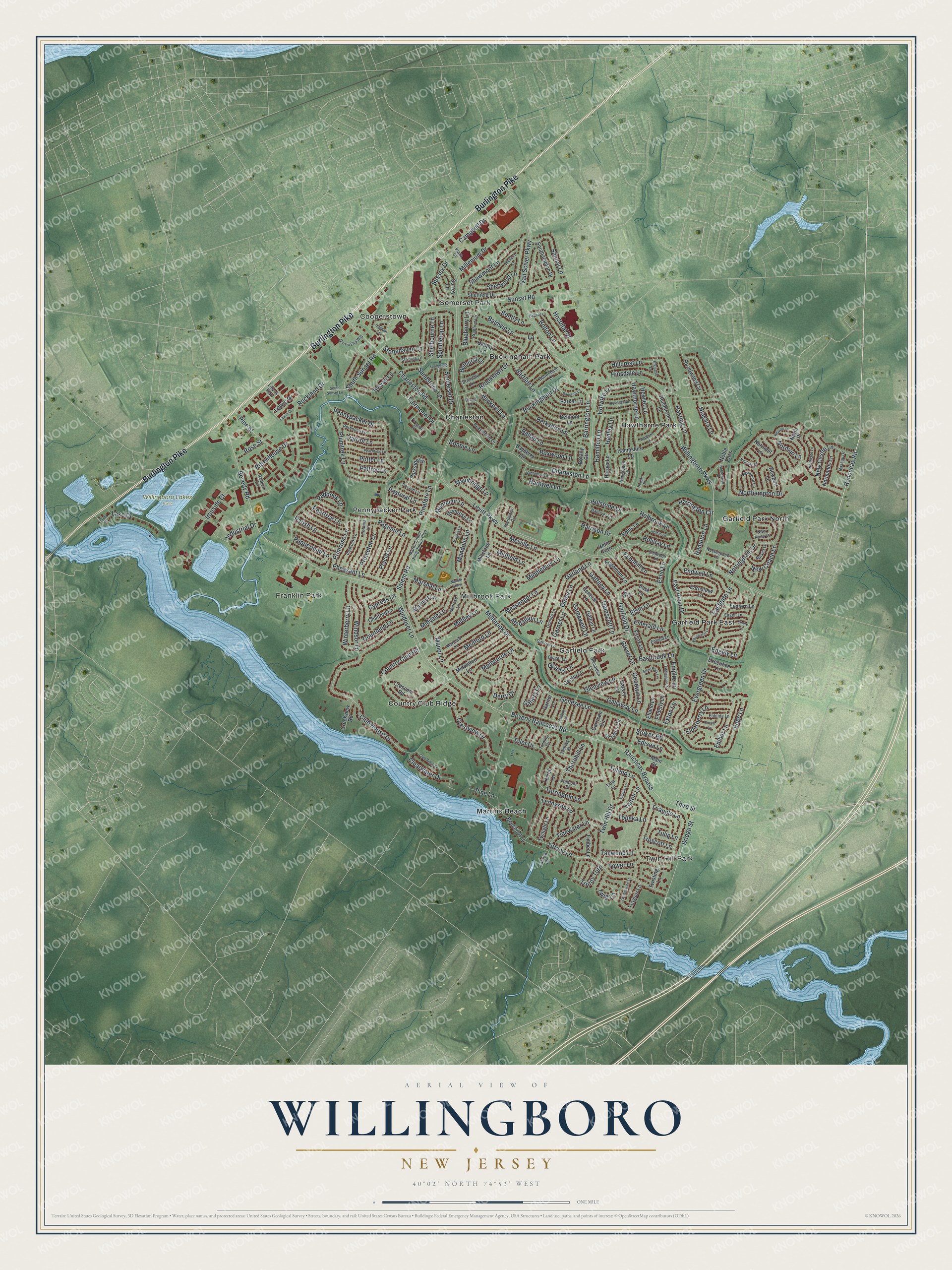
This beautifully detailed map of Willingboro, New Jersey was created in 2026 using aerial imagery combined with modern topographical, census, street and landmark data. It’s a one-of-a-kind view of Willingboro that combines accurate data with a vintage aesthetic. The map shows every building in its true location, many of the roads carry their names, and the shaded topographic relief shows the shape of the land.
Explore an aerial view of Willingboro, New Jersey
On the map you’ll find Buckingham Park, Charleston, Cooperstown, Franklin Park, Garfield Park, and Willingboro Lakes Park, along with Burlington Pike, Stokes Road, Rancocas Road, Bridge Street, Levitt Parkway, and more. If you look closely you can even find your house accurately drawn in its correct location. Zoom in on the preview to look for yours.
Did You Know?
In the 1950s, Levitt and Sons chose Willingboro for its third and largest Levittown. The first homes sold in June 1958. Residents voted in 1959 to rename the town Levittown Township. In 1963 a second vote restored the name Willingboro, by just 3,123 to 3,003.
Take a closer look at the Willingboro map
Names on this map
These names are printed on this map.
Places: Willingboro Lakes Park, Buckingham Park, Charleston, Cooperstown, Country Club Ridge, Franklin Park, Garfield Park, Garfield Park East, Garfield Park North, Hawthorne Park, Martins Beach, Millbrook Park, Pennypacker Park, Somerset Park and Twin Hill Park.
Streets and roads: Burlington Pike, Stokes Road, Rancocas Road, Bridge Street, Levitt Parkway, Van Sciver Parkway, Beverly Rancocas Road, Beverly Road, Charleston Road, Club House Drive, Sunset Road, Northampton Drive.
More street names, A to Z
Babbitt Lane, Baldwin Lane, Balfour Lane, Ballad Lane, Bancroft Lane, Barker Lane, Barnwell Lane, Barrington Lane, Bartlett Lane, Bayberry Lane, Beaverdale Lane, Beechnut Lane, Belhurst Lane, Belmont Lane, Bendix Lane, Bently Lane, Berkshire Lane, Blueberry Lane, Bolton Lane, Bonnie Lane, Botany Circle, Boxwood Lane, Bradford Lane, Brierdale Lane, Brooklawn Drive, Buckingham Drive, Bucknell Lane, Budhollow Lane, Buttonbush Lane, Campbell Drive, Catalpa Lane, Chalford Lane, Charleston Lane, Clearwater Drive, Club Ridge Lane, Country Club Road, Courtland Lane, Creekview Road, Crescent Road, Crestview Drive, Cypress Lane, Derry Drive, Eagen Lane, Earnshaw Lane, Eastbrook Lane, Eastern Lane, Eastgate Lane, East Lane, East River Drive, Ebbtide Lane, Echohill Lane, Echo Lane, Eddington Lane, Eden Rock Lane, Edge Lane, Edgely Lane, Edgemont Lane, Edgewater Lane, Edison Lane, Efland Lane, Elderberry Lane, Elmire Lane, Elmwood Lane, Elsin Lane, Ember Lane, Emerald Lane, Empire Lane, Enderly Lane, Endwell Lane, Enfield Lane, Essex Lane, Evergreen Drive, Excell Lane, Executive Lane, Exton Lane, Fairmount Drive, Fireside Court, Front Street, Gabriel Lane, Gaffney Lane, Gainscott Lane, Galaxy Lane, Gallant Lane, Gallaway Lane, Gallery Lane, Galton Lane, Gamewell Lane, Garfield Drive, Garland Lane, Garner Lane, Garnet Lane, Garrison Circle, General Lane, Genesee Lane, Gentry Lane, Ginger Lane, Glenolden Lane, Glenview Lane, Globe Lane, Glover Lane, Goodwin Lane, Granby Lane, Granite Lane, Grayson Circle, Hadley Lane, Hamilton Lane, Hampshire Lane, Hampton Lane, Hanover Lane, Harper Lane, Harrington Circle, Harrison Drive, Hasting Lane, Hawthorne Lane, Hazelwood Circle, Helm Turn, Henderson Lane, Hepburn Lane, Hewlet Lane, Highland Lane, Hillcrest Lane, Hinsdale Lane, Holbrook Lane, Holiday Lane, Hollis Lane, Holstone Lane, Holton Lane, Holyoke Lane, Hornblende Lane, Hospital Drive, Hudson Place, Huntington Lane, Industrial Drive, Ironside Court, Lake Drive, Laurel Court, Lewis Drive, Liberty Way, Magnet Lane, Mainbridge Lane, Main Street, Mandolin Lane, Manor Lane, Marble Stone, Marboro Lane, Mariner Lane, Marshal Lane, Martin Luther King Junior Boulevard, Marvin Ellis Way, Medallion Lane, Medford Lane, Medley Lane, Melbourne Lane, Melrose Lane, Melville Lane, Meribrook Circle, Messenger Lane, Middlebury Lane, Middleton Lane, Midfield Lane, Midvale Lane, Millbrook Drive, Millenium Drive, Millstone Lane, Montclair Lane, Montrose Lane, Nassau Drive, Needlepoint Lane, Neptune Lane, Nevada Lane, New Castle Lane, New Coach Lane, New Pond Lane, Newport Lane, Niagara Lane, Noble Pass, Noblewood Place, Noland Lane, Normandy Lane, Norman Lane, Normont Lane, Northgate Lane, North Place, Norwood Lane, Nottingham Drive, Paddock Lane, Pageant Lane, Palfrey Lane, Parish Lane, Parkside Circle, Parson Lane, Pastoral Lane, Patriot Lane, Peachfield Lane, Peacock Lane, Peartree Lane, Pennypacker Drive, Peppermint Lane, Perennial Lane, Petunia Lane, Pheasant Lane, Pinafore Lane, Pine Lane, Pine Street, Placid Lane, Plaza Circle, Plumtree Lane, Potter Lane, Primrose Lane, Princeton Lane, Raeburn Lane, Rancocas Bypass, Rittenhouse Drive, Rockland Drive, Rose Street, Salem Road, Sandal Lane, Sandstone Lane, Shawmont Lane, Sheffield Drive, Shelbourne Lane, Sherwood Lane, Shetland Lane, Somerset Drive, Southampton Drive, South Sunset Lane, South Sunset Road, Spindletop Lane, Springfield Lane, Sterling Lane, Stonehaven Lane, Stretton Circle, Surrey Lane, Sussex Drive, Sylvan Lane, Tallwood Lane, Temple Lane, Tennyson Lane, Terrell Lane, Third Street, Thornhill Lane, Tiber Lane, Tidewater Lane, Tiffany Lane, Timber Lane, Tipton Lane, Toledo Lane, Topeka Lane, Torrington Lane, Tower Lane, Traynor Lane, Trebing Court, Trebing Lane, Tremont Place, Trescott Lane, Triangle Lane, Trinity Turn, Tulip Lane, Tweedstone Lane, Twig Lane, Twilight Lane, Twin Hill Drive, Twisting Lane, Tyler Drive, Willingboro Parkway, Windover Lane, Windsor Lane, Winterberry Lane.
See it on a wall
The Willingboro map as an 18 x 24 inch print in a black frame.

This beautifully detailed map of Willingboro makes an attractive addition to your office, library, or den, and it can even be used to teach children the geography and history of the area. It also makes a great gift for someone who left Willingboro and still calls it home. When you’re done exploring, click here to get your copy of the Willingboro map.