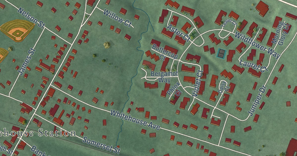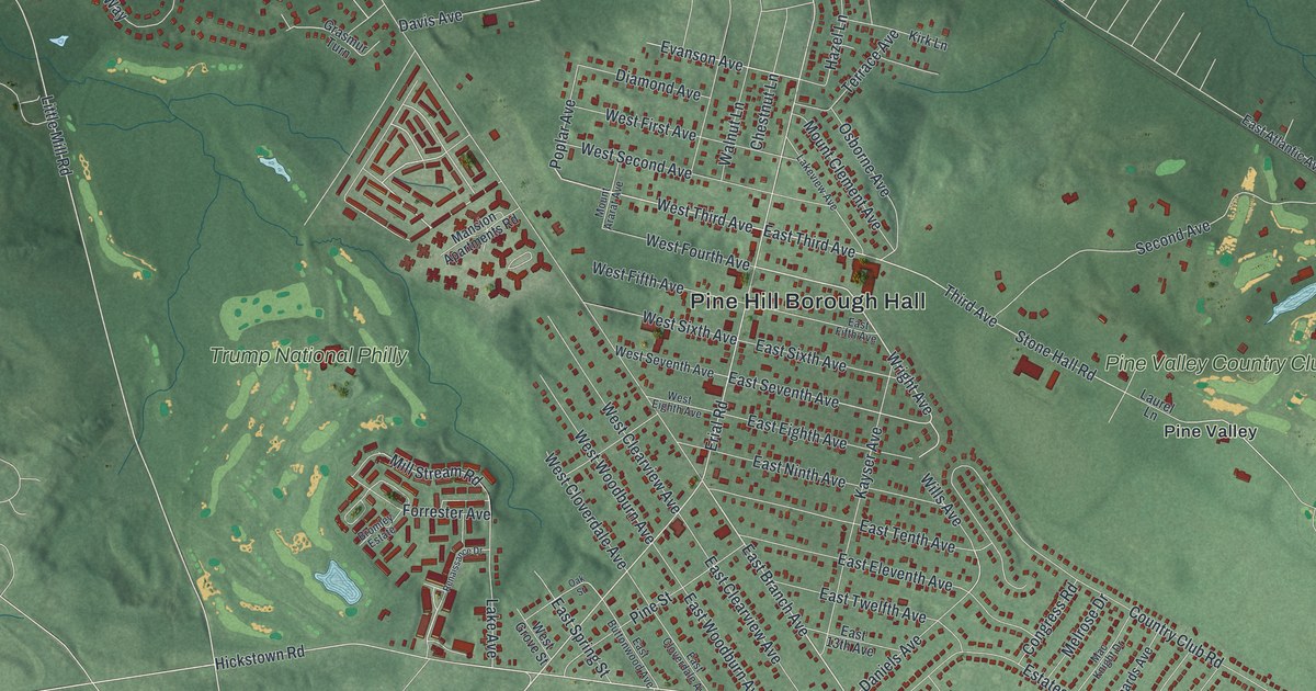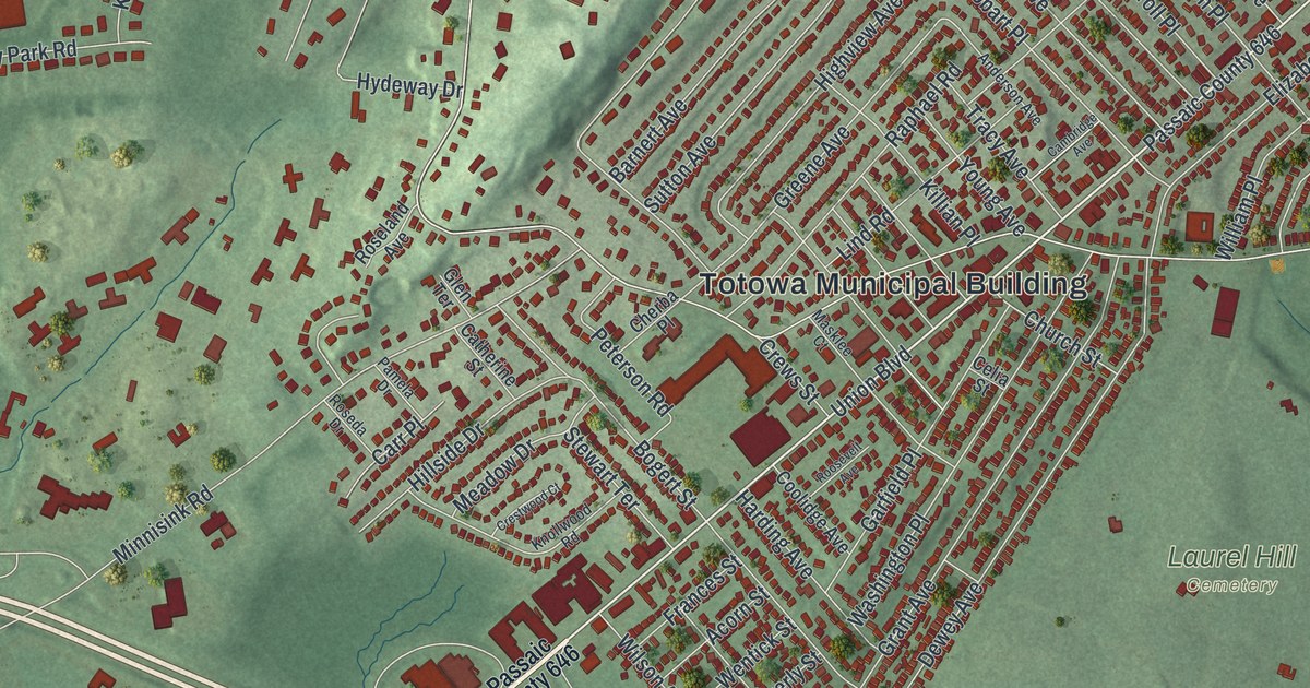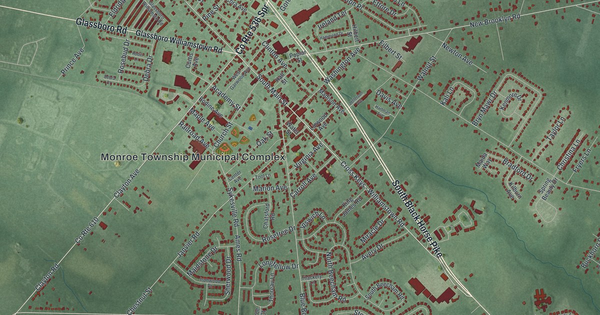
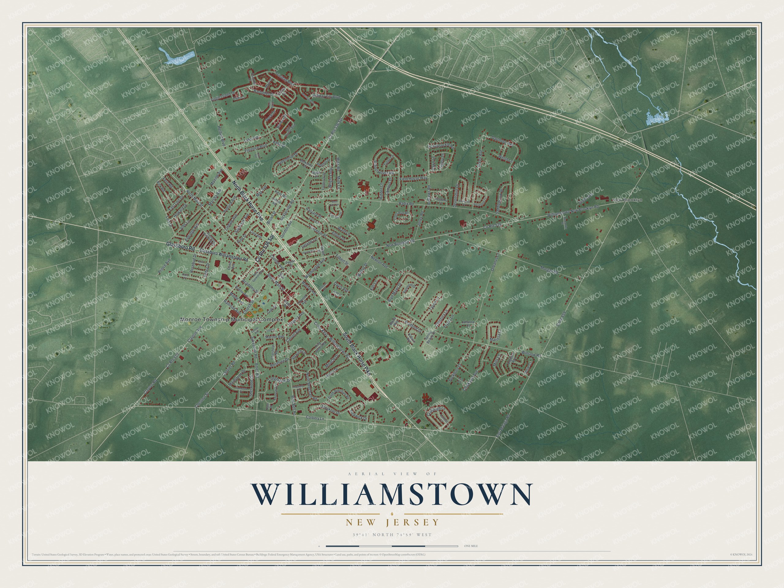
This beautifully detailed map of Williamstown, New Jersey was created in 2026 using aerial imagery combined with modern topographical, census, street and landmark data. It’s a one-of-a-kind view of Williamstown that combines accurate data with a vintage aesthetic. The map shows every building in its true location, many of the roads carry their names, and the shaded topographic relief shows the shape of the land.
Explore an aerial view of Williamstown, New Jersey
On the map you’ll find Monroe Township Municipal Complex and New Brooklyn, along with Black Horse Pike, Glassboro Road, Glassboro Williamstown Road, Clayton Avenue, and more. If you look closely you can even find your house accurately drawn in its correct location. Zoom in on the preview to look for yours.
Did You Know?
Williamstown was first called Squankum, a Lenni-Lenape name meaning place where evil spirits dwell. In the early 1700s, Richard Penn sold the land to his grandson John Williams, who resold it in lots to settlers. When the post office opened in 1842, the town took his name, since an older Squankum already existed.
Take a closer look at the Williamstown map
Names on this map
These names are printed on this map.
Places: Monroe Township Municipal Complex and New Brooklyn.
Streets and roads: South Black Horse Pike, County Route 536 Spr, North Black Horse Pike, Glassboro Road, Clayton Avenue, Cross Keys - Williamstown Road, South Main Street, Sicklerville Road, North Main Street, Corte 659, East Malaga Road, Church Street.
More street names, A to Z
Academy Street, Albertus Drive, Alexander Drive, Ames Road, Andrews Road, Angielee Avenue, Ashtead Lane, Avery Drive, Barbados Drive, Berkshire Drive, Blue Bell Road, Bodine Avenue, Bradford Drive, Bridlepath Lane, Broad Street, Bryn Mawr Drive, Buckhorn Drive, Campus Drive, Capri Court, Carol Avenue, Carroll Avenue, Center Avenue, Chatsford Road, Chestnut Street, Chinkapin Avenue, Christina Lane, Clayton Road, Clinton Avenue, Colts Run Road, Cora Avenue, Corkery Lane, County Route 536, County Route 610, Cranleigh Lane, Curtis Avenue, Dartmoor Avenue, Davis Avenue, Dawn Lane, Debra Court, Debra Drive, Devonshire Drive, Doral Drive, East Fox Trail, East Lois Drive, Eldridge Avenue, Ettore Drive, Fern Road, Field House Way, Filbert Street, Florence Boulevard, Frederick Street, Fryers Lane, Glassboro Williamsto Road, Glassboro Williamstown Road, Gordon Avenue, Green Avenue, Greenbriar Drive, Greer Avenue, Gypsy Lane, Hall Street, Hammond Drive, Hartman Avenue, Harvard Place, Herbert Boulevard, Hidden Lane, Hilbert Street, Holiday City Boulevard, Honeysuckle Road, Horseshoe Lane, Howard Drive, Ipswich Lane, Ireland Terrace, Ironwood Drive, Janvier Road, Jefferson Avenue, Jobs Lane, Johanna Court, Jones Road, Josie Court, Kali Lane, Kelly Drive, Kenmore Drive, Kent Road, Kilburn Avenue, King James Road, Kirk Road, Lake Avenue, Larch Avenue, Lindale Avenue, Linwood Avenue, Lois Drive, Longfellow Drive, Madison Avenue, Maida Way, Maidstone Drive, Maple Avenue, Marion Avenue, Marissa Court, Marsha Avenue, Martinique Drive, Maui Drive, Maxine Avenue, May Avenue, Mills Lane, Mink Lane, Mink Road, Miracle Drive, Morgan Road, New Brooklyn Road, Newton Avenue, North Beecham Road, Oak Street, Orbanus Lane, Oxford Place, Oxford Road, Panama Court, Pedrick Avenue, Pickwick Drive, Pine Street, Poe Court, Poplar Street, Prince Avenue, Princeton Place, Radix Road, Railroad Avenue, Raspberry Lane, Riviera Drive, Robin Lane, Rosebud Drive, Rosetree Drive, Saddlebrook Drive, Saint Martin Court, Saint Thomas Boulevard, Saybrook Avenue, School House Road, Sherwood Drive, South Beecham Road, Spring Beauty Drive, Stockton Drive, Sykesville Road, Taylor Lane, Thackery Lane, Thoreau Lane, Tool Lane, Tortola Street, Trinidad Boulevard, Tutor Lane, Virginia Avenue, Virgin Island Drive, Walnut Street, Walter Drive, Ward Lane, Washington Avenue, Water Street, Welsh Lane, West Fox Trail, West Garwood Avenue, Williamstown New Brooklyn Road, Winslow Road, Wright Loop.
See it on a wall
The Williamstown map as an 18 x 24 inch print in a black frame.

This beautifully detailed map of Williamstown makes an attractive addition to your office, library, or den, and it can even be used to teach children the geography and history of the area. It also makes a great gift for anyone who grew up in Williamstown or moved away. When you’re done exploring, click here to get your copy of the Williamstown map.