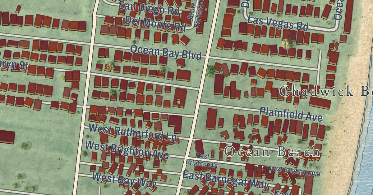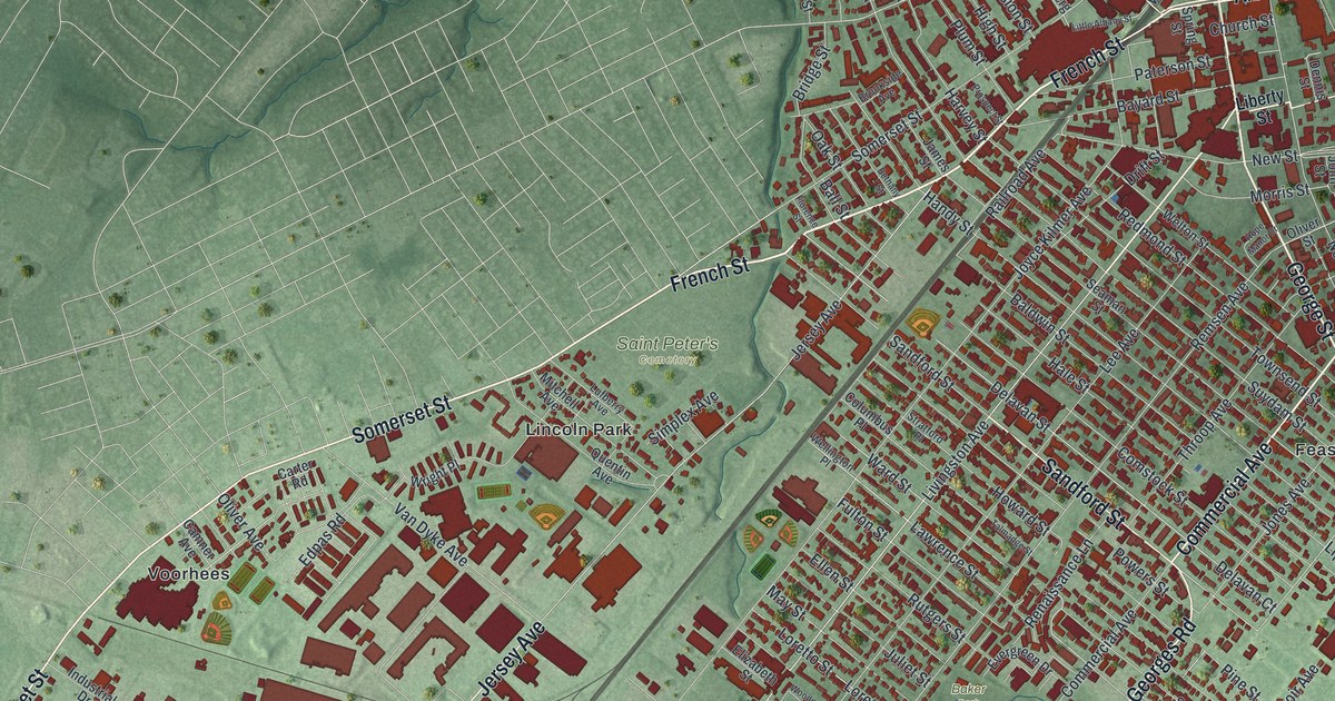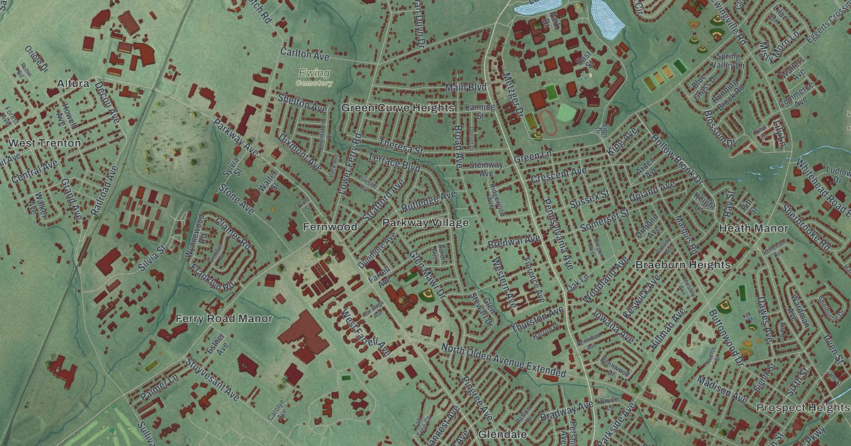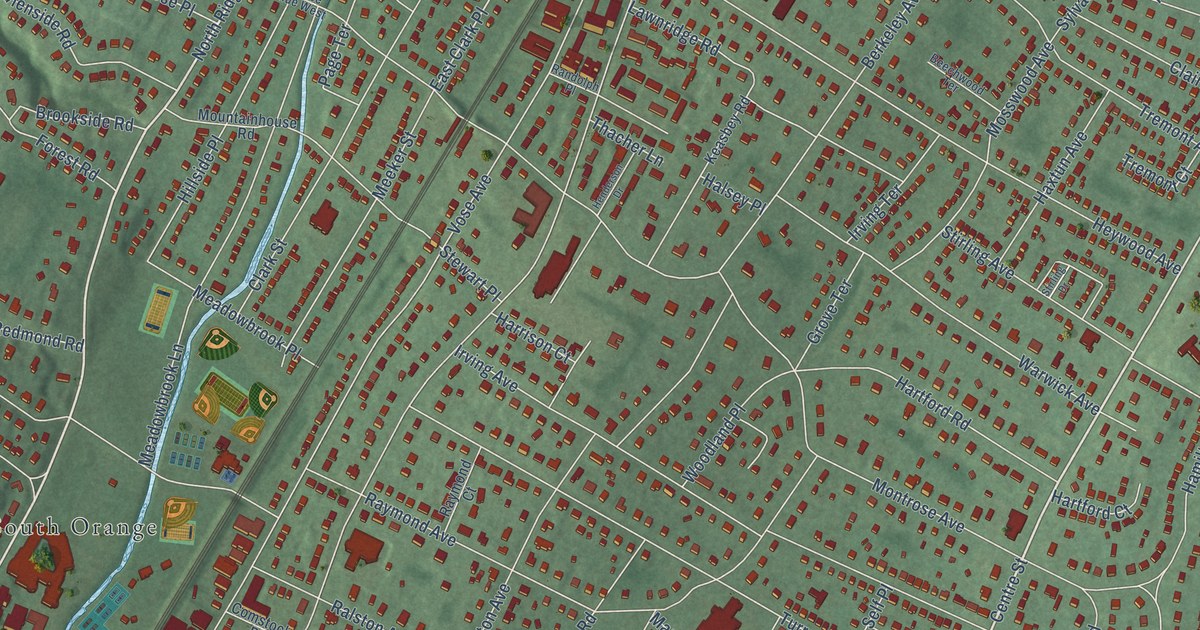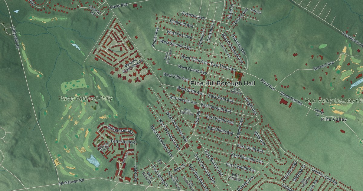
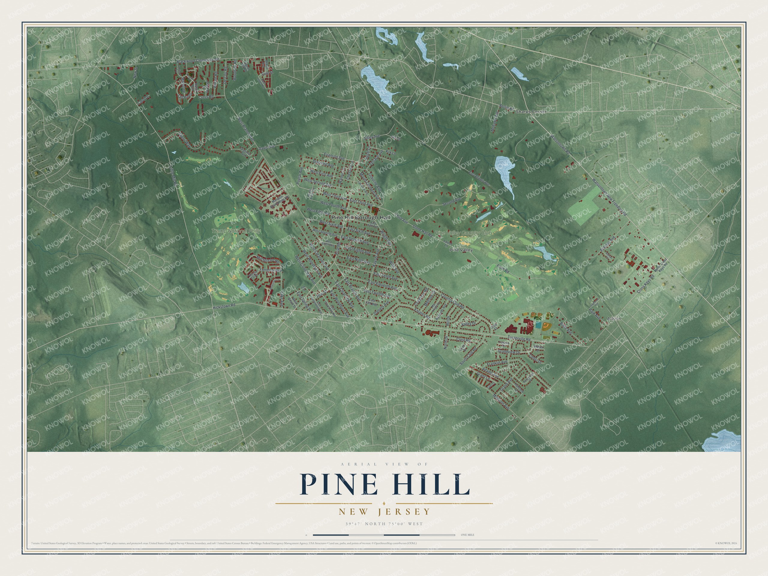
This beautifully detailed map of Pine Hill, New Jersey was created in 2026 using aerial imagery combined with modern topographical, census, street and landmark data. It’s a one-of-a-kind view of Pine Hill that combines accurate data with a vintage aesthetic. The map shows every building in its true location, many of the roads carry their names, and the shaded topographic relief shows the shape of the land.
Explore an aerial view of Pine Hill, New Jersey
On the map you’ll find Pine Hill Borough Hall, Albion, Pine Valley, and Sharps Corner, along with Watsontown New Freedom Road, Watsontown Road, Berlin Road, Third Avenue, and more. If you look closely you can even find your house accurately drawn in its correct location. Zoom in on the preview to look for yours.
Did You Know?
The area was once known as Mont Ararat or Clementon Heights. It became a borough on April 23, 1929, when it split from Clementon Township. The new name Pine Hill was picked for the trees and terrain. In 2022 it took in the borough of Pine Valley and its famed golf course.
Take a closer look at the Pine Hill map
Names on this map
These names are printed on this map.
Places: Pine Hill Borough Hall, Albion, Pine Valley, Sharps Corner, Pine Valley Country Club and Trump National Philly.
Streets and roads: Watsontown New Freedom Road, Watsontown Road, Berlin Road, West Third Avenue, East Branch Avenue, East Third Avenue, Wright Avenue, Little Mill Road, Erial Road, Third Avenue, Hickstown Road, East Seventh Avenue.
More street names, A to Z
Adams Avenue, Beech Avenue, Berlin Cross Keys Road, Bittle Avenue, Blackwood Clementon Road, Bramau Avenue, Bramau Court, Bromley Estate, Carol Drive, Cedar Drive, Chateau Drive, Chestnut Lane, Club Court, Cole Street, Congress Road, Country Club Road, Cranford Drive, Crest Road, Cross Keys Road, Cross Road, Daniels Avenue, Davis Avenue, De Cou Road, Diamond Avenue, East 13th Avenue, East Atlantic Avenue, East Buttonwood Avenue, East Clearview Avenue, East Cloverdale Avenue, East Eighth Avenue, East Eleventh Avenue, East Fifth Avenue, East Linden Avenue, East Ninth Avenue, East Sixth Avenue, East Spring Street, East Tenth Avenue, East Twelfth Avenue, East Woodburn Avenue, Edgewood Avenue, Estates Road, Evanson Avenue, Farm Road, Forrester Avenue, Franklin Avenue, Grand Avenue, Grandview Drive, Grant Lane, Grasmur Turn, Hancock Lane, Hazel Lane, Hill Drive, Ivy Lane, Kayser Avenue, Kenwood Drive, Kirk Lane, Lake Avenue, Lakeview Avenue, Laurel Lane, Mac Knight Drive, Madison Avenue, Mansion Apartments Road, Mason Drive, Mason Run, Melrose Drive, Mill Stream Road, Mohawk Avenue, Mount Ararat Avenue, Mount Clement Avenue, New Street, North Drive, Oak Street, Osborne Avenue, Park Avenue, Penn Drive, Pine Street, Poplar Avenue, Ramblewood Drive, Renaissance Drive, Richards Avenue, Second Avenue, Sherri Way, Signal Hill Road, Sitley Avenue, South Club Road, Stone Hall Road, Tall Pines, Terrace Avenue, Tomlinson Avenue, Turnerville Road, Tyler Lane, Valley Drive, Walnut Lane, Weber Drive, West Branch Avenue, West Clearview Avenue, West Cloverdale Avenue, West Eighth Avenue, West Fifth Avenue, West First Avenue, West Fourth Avenue, West Grove Street, West Second Avenue, West Seventh Avenue, West Sixth Avenue, West Woodburn Avenue, Wills Avenue, Wilson Road, Woodrow Road.
See it on a wall
The Pine Hill map as an 18 x 24 inch print in a black frame.

This beautifully detailed map of Pine Hill makes an attractive addition to your office, library, or den, and it can even be used to teach children the geography and history of the area. It also makes a great gift for someone who left Pine Hill and still calls it home. When you’re done exploring, click here to get your copy of the Pine Hill map.