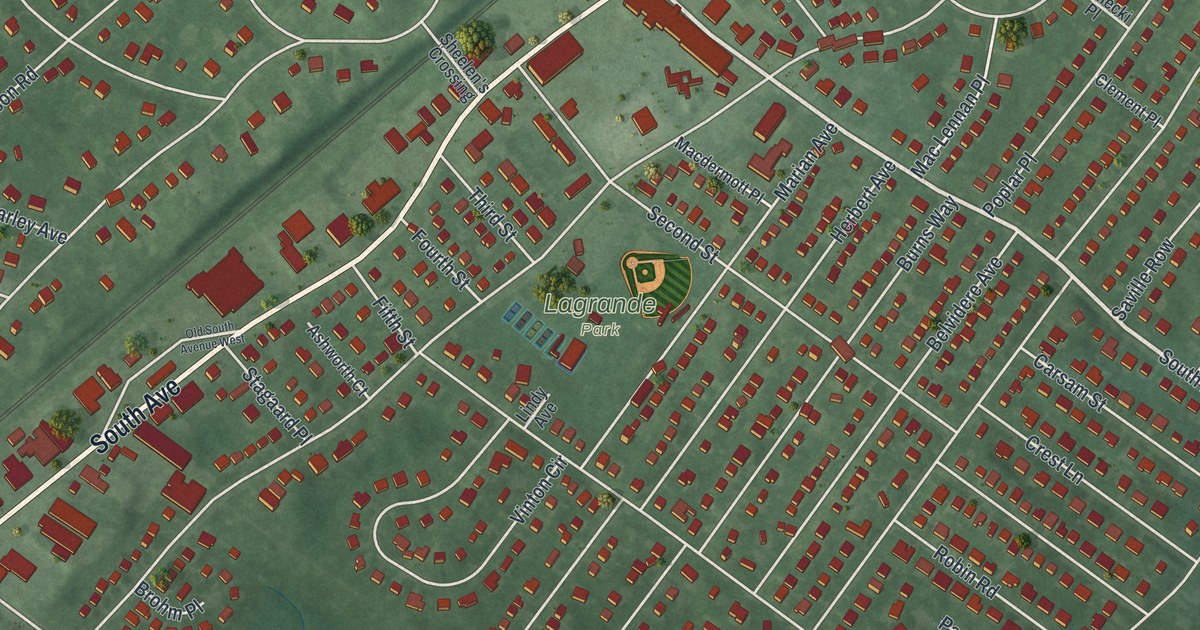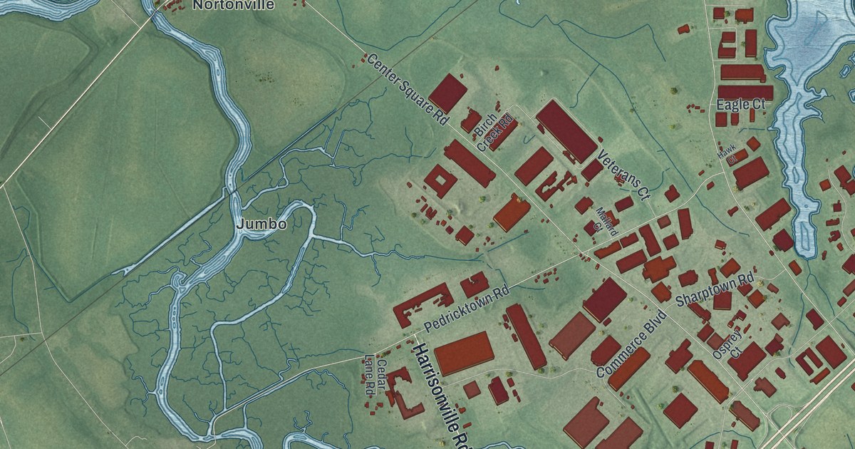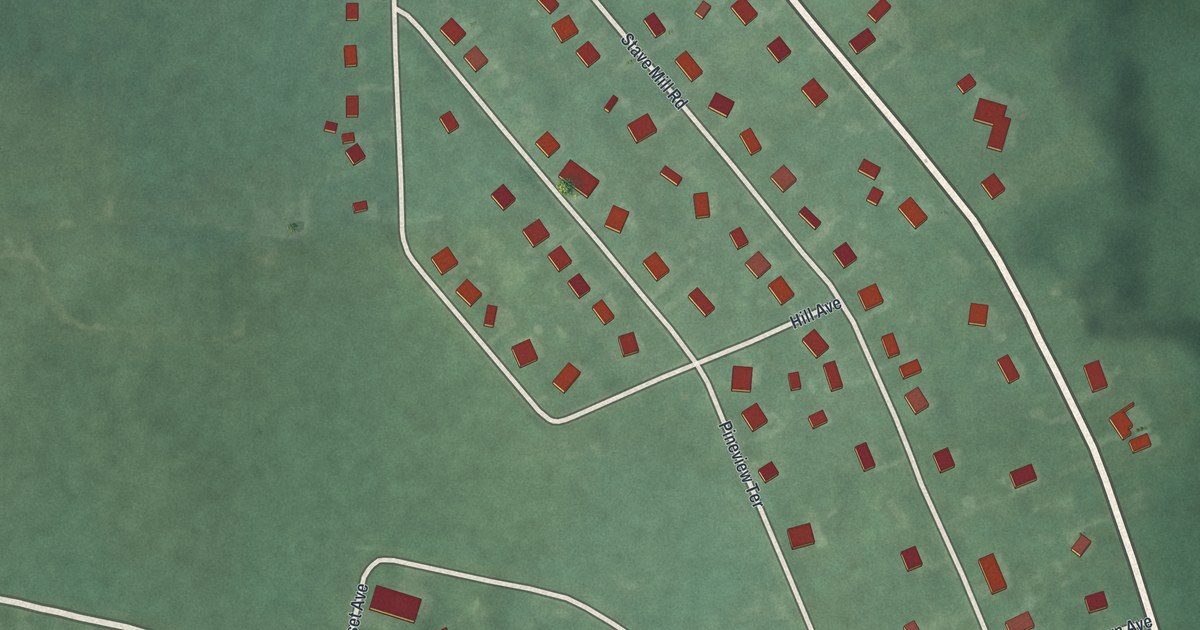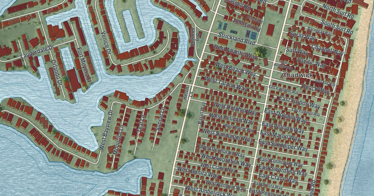
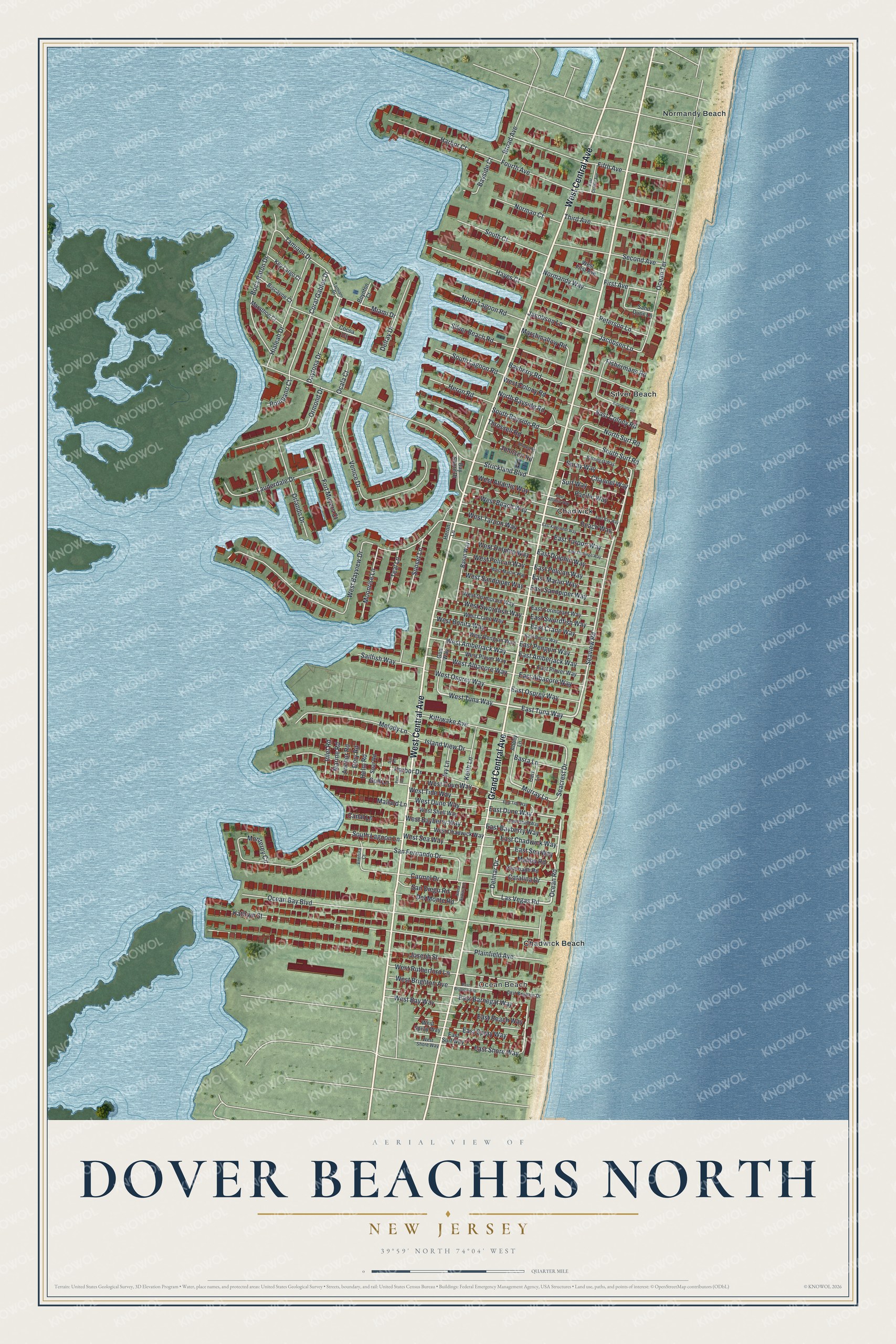
This beautifully detailed map of Dover Beaches North, New Jersey was created in 2026 using aerial imagery combined with modern topographical, census, street and landmark data. It's a modern aerial view of Dover Beaches North in Ocean County, New Jersey, that combines modern data with a vintage aesthetic. The roads feature printed names, and if you look closely you can find your exact house accurately shown in its correct location.
Explore an aerial view of Dover Beaches North, New Jersey
On this map you'll find Ocean Beach, Normandy Beach, Chadwick, Silver Beach, Chadwick Beach, Grand Central Avenue, West Central Avenue, Ocean Road, Seaview Road, West Beach Way, East Tuna Way, Beach Way, and more. Each red shape is a building, so zoom in on the preview and look for yours.
Dover Beaches North is a community in Ocean County. The Census Bureau counted 1,277 people here in 2020. The map prints the town name in its title panel, with the coordinates below it.
Take a closer look at the Dover Beaches North map
Names on this map
These names are printed on this map.
Places: Ocean Beach, Normandy Beach, Chadwick, Silver Beach and Chadwick Beach.
Streets and roads: Grand Central Avenue, West Central Avenue, Ocean Road, Seaview Road, West Beach Way, East Tuna Way, Beach Way, Las Vegas Road, Delmar Drive, East Dune Way, West Tuna Way, Strickland Boulevard.
More street names, A to Z
Abbey Lane, Anchor Road, Barnegat Way, Basin Way, Basra Lane, Bayberry Road, Bay Shore Drive, Bayside Court, Biscayne Court, Boatmans Road, Boca Raton Drive, Boynton Court, Broad Avenue, Brooks Road, Canal Lane, Carmel Drive, Cart Lane, Catalina Drive, Channel Way, Cocoa Court, Coral Gables Drive, Coronado Road, Daytona Drive, Del Monte Road, Delray Drive, Dory Road, East Albacore Way, East Amberjack Way, East Atlantic Way, East Barnegat Way, East Bayberry Way, East Bay Way, East Beach Way, East Bonita Way, East Brighton Avenue, East Brighton Drive, East Central Avenue, East Chadwick Way, East Colony Road, East Cormorant Way, East Crane Way, East Dolphin Way, East Flamingo Way, East Kingfisher Way, East Marlin Way, East Osprey Way, East Pelican Way, East Penguin Way, East Plover Way, East Sandpiper Way, East Sea Way, East Shell Way, East Shore Way, East Spray Way, East Surf Way, East Swordfish Way, East Tarpon Way, East Tide Way, Fifth Avenue, First Avenue, Fishermans Road, Fort Meyers Court, Fourth Avenue, Goa Way, Gull Lane, Harbor Court, Harbor Drive, Hayes Court, Helm Road, Heron Lane, Heron Road, Hialeah Drive, Inlet Road, Island View Drive, Ivy Lane, Jacobsen Lane, Jacobson Lane, Johnson Road, Joseph Street, Kathryn Street, Keith Lane, Key Largo Court, Kittiwake Avenue, Lauderdale Drive, Malibu Road, Mallard Lane, Marathon Court, Marine Road, Marshmallow Road, Melody Lane, Miami Drive, Monterey Circle, Moonrise Lane, Murray Lane, Norman Court, Normandy Way, North Bayside Road, North Lagoon Road, North Surf Road, Ocala Court, Ocean Bay Boulevard, Ocean Terrace, Orlando Drive, Ormond Drive, Pacific Way, Peterson Lane, Plainfield Avenue, Pompano Court, Port Road, Sailfish Way, Sail Road, Sand Dune Lane, San Diego Road, San Fernando Drive, Santa Barbara Drive, Seacrest Drive, Second Avenue, Silver Beach Road, South Bayside Road, South Court, South Lagoon Lane, South Lagoon Road, South Surf Road, Spar Road, Spray Way, Sunset Lane, Surf Way, Tamiami Drive, Tamiani Drive, Teal Lane, Third Avenue, Throssell Road, Venice Drive, Ventura Court, West Albacore Way, West Amberjack Way, West Atlantic Way, West Bayberry Way, West Bayview Drive, West Bay Way, West Bonita Way, West Brighton Avenue, West Chadwick Way, West Colony Road, West Cormorant Way, West Cove Way, West Crane Way, West Dolphin Way, West Dune Way, West First Avenue, West Marlin Way, West Osprey Way, West Pelican Way, West Penguin Way, West Plover Way, West Rutherford Lane, West Sandpiper Way, West Sea Way, West Shell Way, West Shore Way, West Spray Way, West Swordfish Way, West Tarpon Way, West Tide Way.
See it on a wall
The Dover Beaches North map as a framed print. Swipe for more.


Created by KNOWOL in 2026. The buildings are small red shapes, the roads carry their printed names, and shaded relief shows the shape of the land. The title panel reads "AERIAL VIEW OF DOVER BEACHES NORTH, NEW JERSEY" with 39°59' NORTH 74°04' WEST.
It looks right in a kitchen, an office or a den, and it's a gift for anyone who grew up in Dover Beaches North or moved away. Open the preview and find your street. See sizes and frames for the Dover Beaches North map.