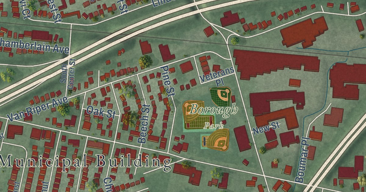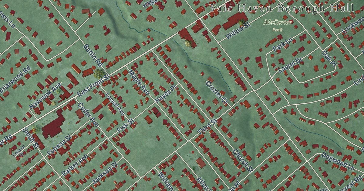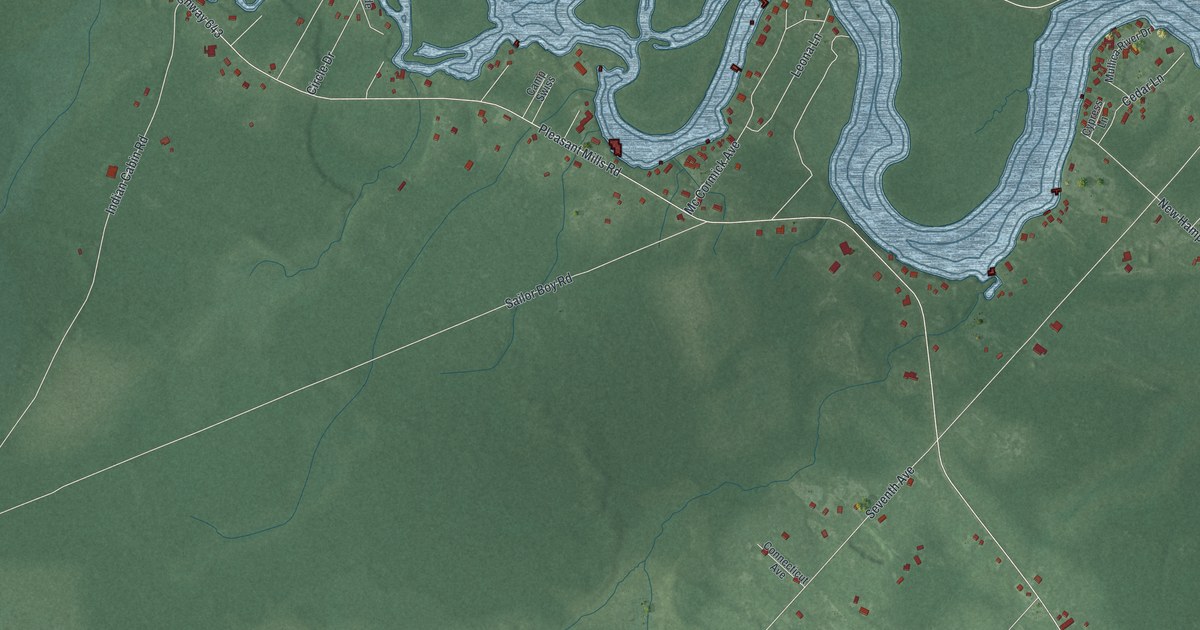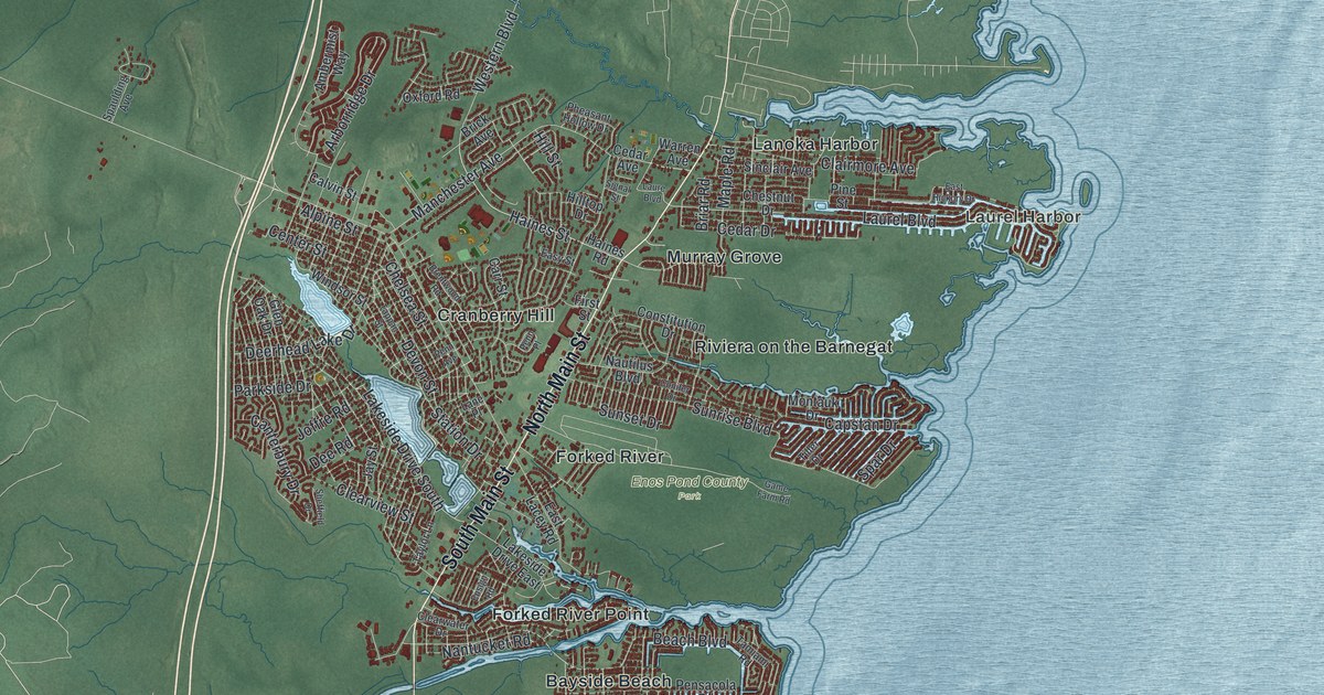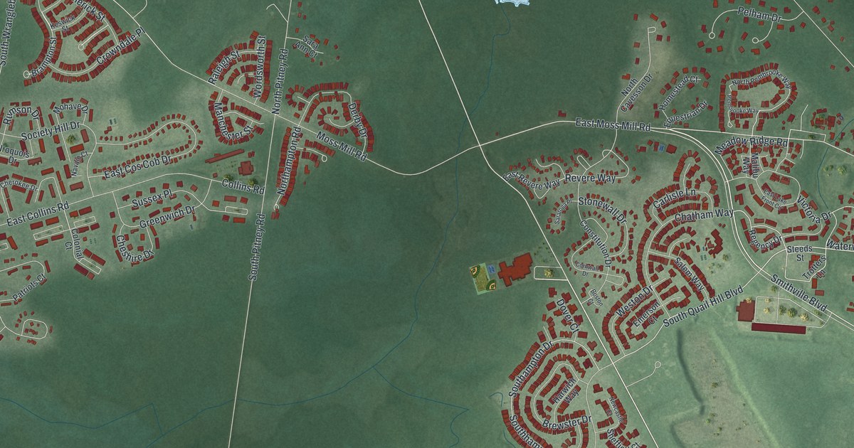
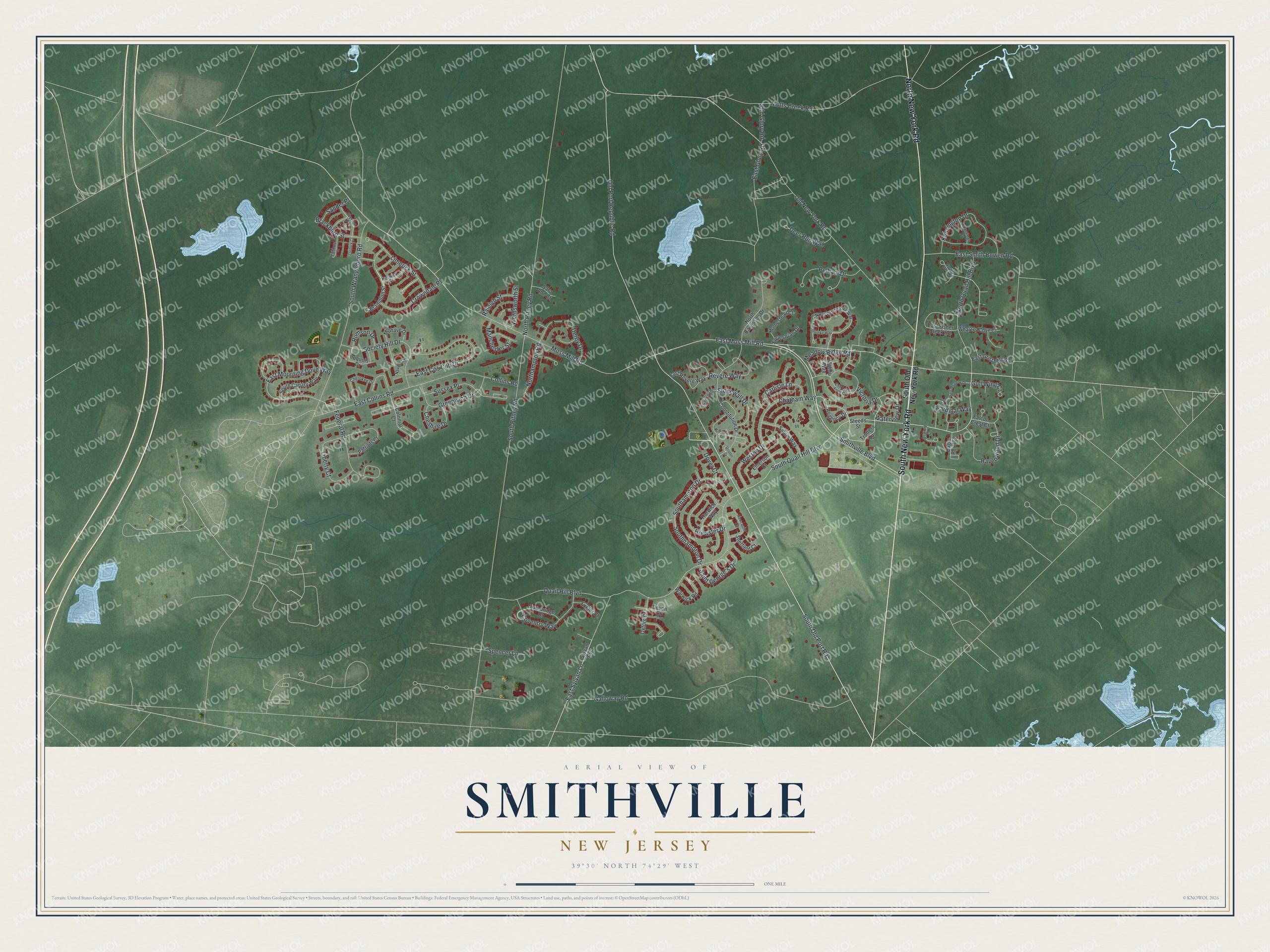
This beautifully detailed map of Smithville, New Jersey was created in 2026 using aerial imagery combined with modern topographical, census, street and landmark data. It’s a one-of-a-kind view of Smithville that combines accurate data with a vintage aesthetic. The map shows every building in its true location, many of the roads carry their names, and the shaded topographic relief shows the shape of the land.
Explore an aerial view of Smithville, New Jersey
On the map you’ll find New York Road, Quail Hill Boulevard, Smithville Boulevard, Old Port Road, Old Port Republic Road, and more. If you look closely you can even find your house accurately drawn in its correct location. Zoom in on the preview to look for yours.
Did You Know?
In 1787, James Baremore built a one-room building beside a busy stagecoach route. It grew into the Smithville Inn, six times its first size by 1874. The inn sat empty by about 1900. In 1952, Ethel and Fred Noyes restored it and reopened it as a 42-seat restaurant.
Take a closer look at the Smithville map
Names on this map
These names are printed on this map.
Streets and roads: South New York Road, North New York Road, Quail Hill Boulevard, South Quail Hill Boulevard, North Quail Hill Boulevard, Smithville Boulevard, South Old Port Road, Old Port Republic Road, East Moss Mill Road, East Sylvan Lane, Meadow Ridge Road, Ravenwood Drive.
More street names, A to Z
Blackburn Street, Boston Court, Brampton Street, Brewster Drive, Cardinal Way, Carlisle Lane, Chatham Way, Cherokee Drive, Cheshire Drive, Collins Road, Colonial Court, Constitution Drive, Cornwall Drive, Coventry Way, Crowndale Place, Deer Run Way, Derby Drive, Devon Court, Dover Court, Eagle Point Court, East Collins Road, East Cos Cob Drive, East Fisher Creek Road, East Glory Road, East Grist Mill Way, East Lake Front Circle, East Mourning Dove Way, East Revere Way, East Smith Bowen Road, Emerson Court, Equestrian Drive, Everton Place, Exeter Court, Falcon Crest Court, Federal Road, Galloway Road, Greenwich Drive, Gull Wing Court, Harwich Way, Hastings Drive, Highbury Street, Homestead Court, Iroquois Drive, Kensington Drive, Keswick Street, Liberty Court, Limerick Street, Lostock Court, Malibu Way, Manchester Street, Mohave Drive, Moss Mill Road, Motts Creek Road, Nacote Creek Place, Navajo Court, Newcastle Court, Northampton Road, North Cavesson Drive, North Pembrooke Way, North Pitney Road, Old Glory Road, Old New York Road, Osprey Court, Oxford Court, Patriots Court, Pelham Drive, Pembrooke Way, Pheasant Meadow Drive, Raleigh Street, Regency Drive, Revere Way, Rumson Drive, Saint George's Drive, Salem Way, Sander Place, Sara Ann Court, Saratoga Place, Sheffield Court, Society Hill Drive, Southampton Drive, South Canary Way, Southhampton Drive, South Old New York Road, South Pitney Road, South Wrangleboro Road, Spencer Lane, Steeds Street, Stonewall Drive, Sussex Place, Sylvan Avenue, Trotters Lane, Turnbridge Drive, Victoria Drive, Warwick Road, Waterview Drive, Weston Drive, Whalers Cove Court, Wordsworth Street.
See it on a wall
The Smithville map as an 18 x 24 inch print in a black frame.

This beautifully detailed map of Smithville makes an attractive addition to your office, library, or den, and it can even be used to teach children the geography and history of the area. It also makes a great gift for anyone with Smithville roots. When you’re done exploring, click here to get your copy of the Smithville map.