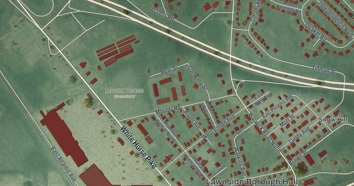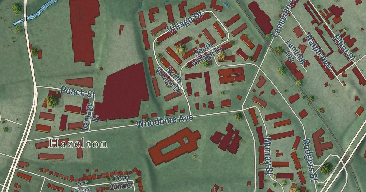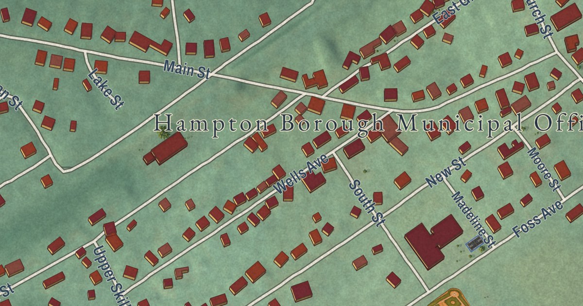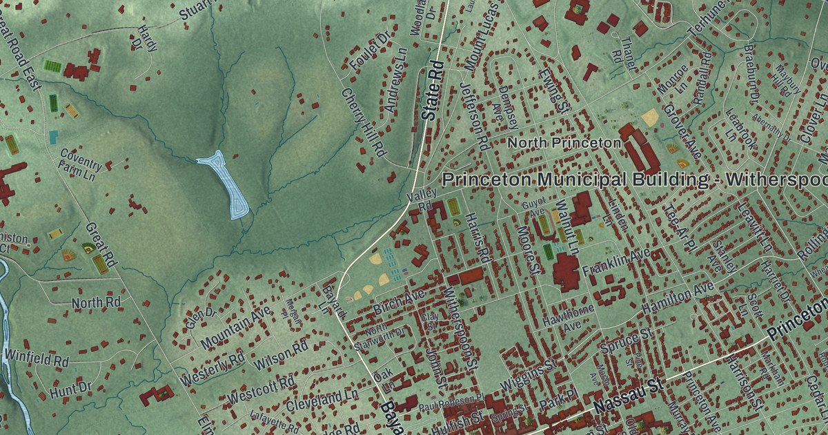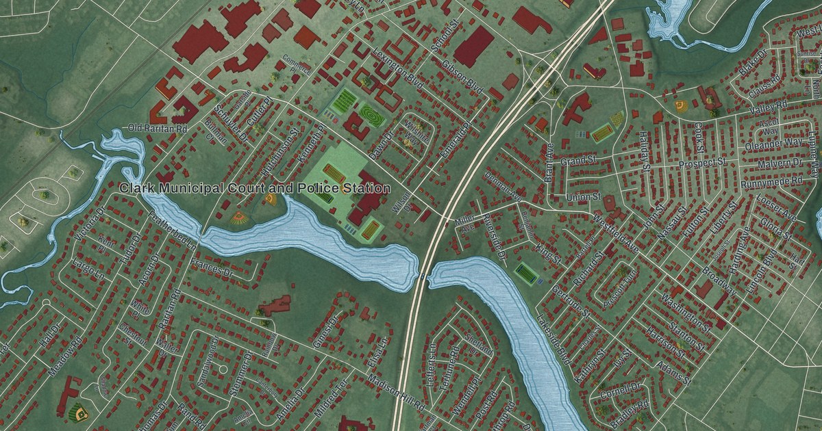
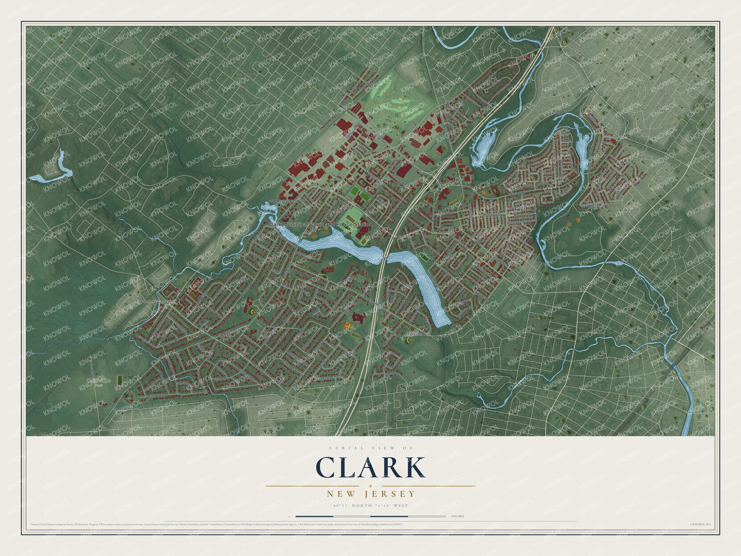
This beautifully detailed map of Clark, New Jersey was created in 2026 using aerial imagery combined with modern topographical, census, street and landmark data. It’s a one-of-a-kind view of Clark that combines accurate data with a vintage aesthetic. The map shows every building in its true location, many of the roads carry their names, and the shaded topographic relief shows the shape of the land.
Explore an aerial view of Clark, New Jersey
On the map you’ll find Clark Municipal Court and Police Station, Madison Hill, Oak Ridge Park, Goodmans Crossing, and Emerald Place, along with Westfield Avenue, Lake Avenue, Central Avenue, Rutgers Road, Skyline Drive, Lupine Way, Kennedy Drive, and more. If you look closely you can even find your house accurately drawn in its correct location. Zoom in on the preview to look for yours.
Did You Know?
The township took its name from Abraham Clark, who signed the Declaration of Independence. It split off from Rahway as its own township on March 23, 1864. The Homestead Farm at Oak Ridge saw a skirmish just before the Battle of Short Hills.
Take a closer look at the Clark map
Names on this map
These names are printed on this map.
Places: Clark Municipal Court and Police Station, Madison Hill, Oak Ridge Park and Goodmans Crossing.
Streets and roads: Westfield Avenue, Lake Avenue, Central Avenue, Rutgers Road, Emerald Place, Skyline Drive, Lupine Way, Kennedy Drive, Parkway Drive, Raritan Road, Madison Hill Road, Valley Road.
More street names, A to Z
Acken Drive, Acorn Drive, Adams Street, Alice Lane, Amelia Circle, Amelia Drive, Armstrong Drive, Ascot Way, Autumn Avenue, Avon Road, Ayers Lane, Bartell Place, Benish Court, Benjamin Street, Bienko Court, Blake Drive, Bradley Road, Brant Avenue, Brentwood Road, Briarheath Lane, Broadway, Brookside Terrace, Bullman Court, Byron Place, Canterbury Drive, Carolina Street, Cellar Avenue, Charles Street, Chestnut Street, Clauss Road, Coldevin Road, Colonial Drive, Commerce Place, Conger Way, Cook Street, Cornell Drive, Crescent Parkway, Crestwood Lane, Cutler Place, Dakota Street, Dawn Drive, Deerwood Drive, Delia Terrace, Denman Avenue, Devon Lane, Doris Way, Dorset Drive, East Lane, Elisa Lane, Emerson Road, Eton Place, Evans Terrace, Fairview Road, Featherbed Lane, Florence Drive, Frances Drive, Fulton Street, Garside Place, Georgian Drive, Georgia Street, Gertrude Street, Gibson Boulevard, Ginesi Drive, Glenwood Terrace, Gloria Street, Grand Street, Grove Street, Haliday Street, Hall Drive, Harding Avenue, Harrison Street, Hartman Court, Hart Street, Harvey Court, Hawthorne Drive, Hayes Avenue, Hayes Street, Hickory Street, Hillcrest Drive, Holland Drive, Hutchinson Street, Ivy Street, James Avenue, Janie Lane, John Street, Joseph Street, Jupitor Street, Kathryn Street, Kenneth Place, Kent Place, King Street, Lakeside Boulevard, Lance Drive, Lance Road, Largo Lane, Laurel Lane, Lefferts Lane, Lexington Boulevard, Liberty Street, Limoli Lane, Lincoln Boulevard, Linda Lane, Locust Grove Drive, Loeser Avenue, Malvern Drive, Maple Street, Maurice Avenue, McCollum Drive, Meadow Road, Mildred Terrace, Miller Avenue, Mountainview Road, Nassau Street, New York Avenue, North Lane, Oak Ridge Road, Old Raritan Road, Oleander Way, Orchard Terrace, Picton Street, Poplar Terrace, Post Road, Prescott Turn, Prospect Street, Rainbow Drive, Rand Road, Reifel Street, Richard Street, Ridge Road, Riverbend Drive, Riverside Drive, Roberts Road, Robinson Street, Rolling Hill Way, Rose Terrace, Ross Street, Runnymede Road, Saint Germain Drive, Saint Laurent Drive, Sandalwood Drive, School Street, Schuyler Drive, Schwinn Drive, Shadow Lane, Sherold Road, Shetland Drive, Skylark Place, Spruce Street, Stanton Street, Starlite Drive, State Street, Stemmer Drive, Stonehenge Terrace, Suburban Road, Sunrise Drive, Sunset Drive, Surrey Road, Sweet Briar Drive, Sycamore Road, Terhune Road, Terminal Avenue, Terry Lane, Thomas Drive, Tudor Drive, Union County Parkway, Union Street, Victoria Drive, Walnut Avenue, Walter Drive, Washington Street, Wendell Place, West Lane, Westover Road, Wheatsheaf Road, White Place, Whittier Road, William Street, Willow Way, Wilshire Way, Wilson Drive, Winthrop Road.
See it on a wall
The Clark map as an 18 x 24 inch print in a black frame.

This beautifully detailed map of Clark makes an attractive addition to your office, library, or den, and it can even be used to teach children the geography and history of the area. It also makes a great gift for someone who left Clark and still calls it home. When you’re done exploring, click here to get your copy of the Clark map.