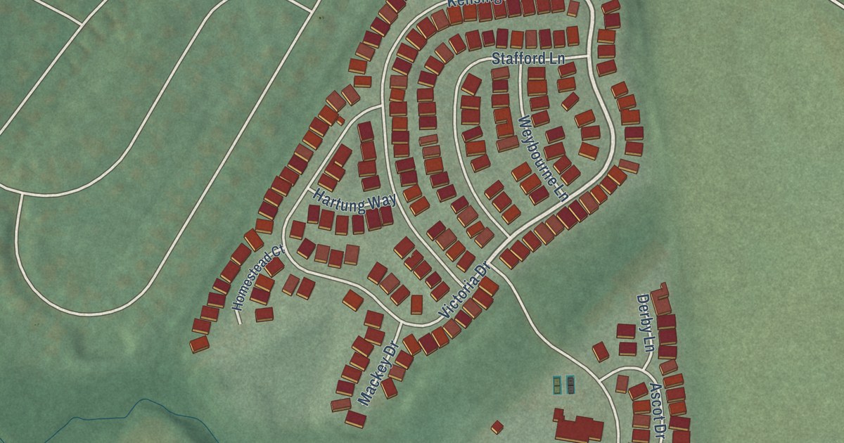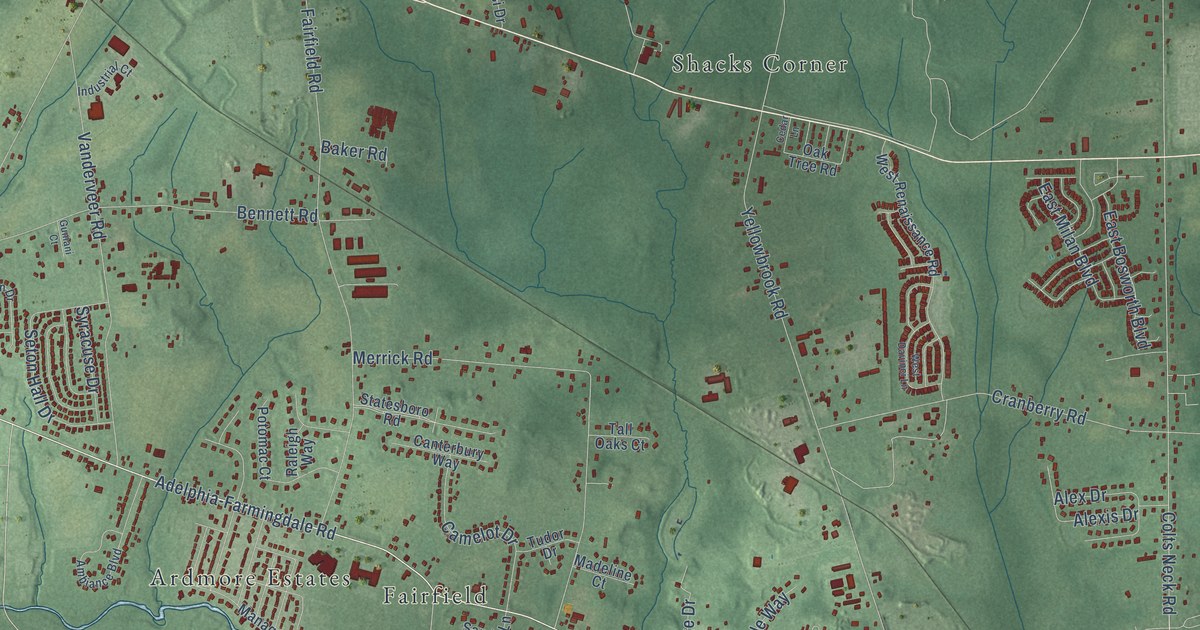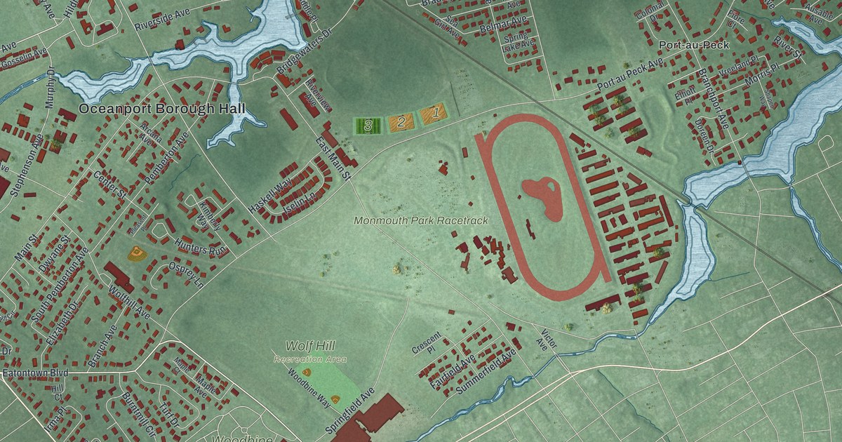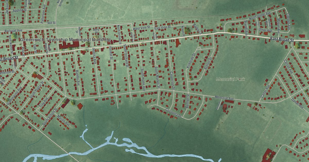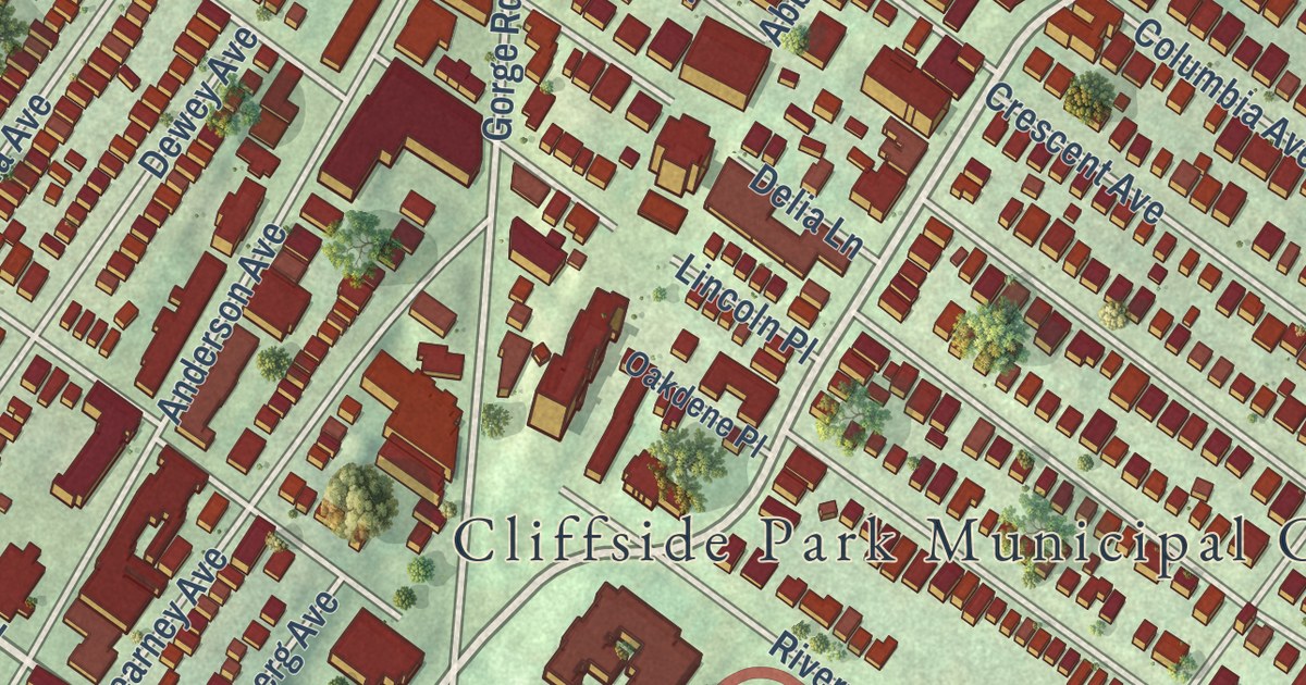
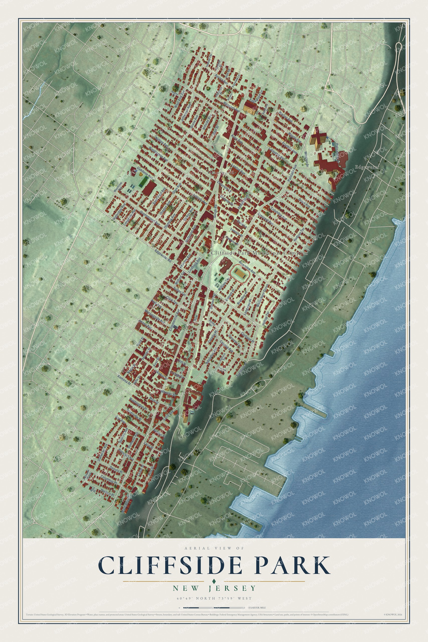
This beautifully detailed map of Cliffside Park, New Jersey was created in 2026 using aerial imagery combined with modern topographical, census, street and landmark data. It’s a one-of-a-kind view of Cliffside Park that combines accurate data with a vintage aesthetic. The map shows every building in its true location, many of the roads carry their names, and the shaded topographic relief shows the shape of the land.
Explore an aerial view of Cliffside Park, New Jersey
On the map you’ll find Cliffside Park Municipal Complex, Edgewater, and Grantwood, along with Palisade Avenue, Edgewater Road, Gorge Road, Lafayette Avenue, Winston Drive, Anderson Avenue, Columbia Avenue, Lawton Avenue, Oakdene Avenue, and more. If you look closely you can even find your house accurately drawn in its correct location. Zoom in on the preview to look for yours.
Did You Know?
Palisades Amusement Park operated in the borough from 1898 until 1971. Part of it stood in neighboring Fort Lee. Until it closed, it was among the most visited amusement parks in America. The rides were then removed, and high-rise apartments now stand on the site.
Take a closer look at the Cliffside Park map
Names on this map
These names are printed on this map.
Places: Cliffside Park Municipal Complex, Edgewater and Grantwood.
Streets and roads: Palisade Avenue, Edgewater Road, Gorge Road, Lafayette Avenue, Winston Drive, Anderson Avenue, Columbia Avenue, Lawton Avenue, Oakdene Avenue, Lincoln Avenue, Washington Avenue, Grant Avenue.
More street names, A to Z
Abbott Boulevard, Adolphus Avenue, Aurora Avenue, Bagley Place, Barr Place, Bender Place, Brandon Place, Cecelia Avenue, Cecelia Place, Cedar Street, Clark Terrace, Cliff Street, Columbus Place, Commercial Avenue, Cortland Place, Cottage Lane, Crescent Avenue, Crescent Lane, Day Avenue, Delia Lane, Desoto Place, Dewey Avenue, Division Street, Edgewood Lane, Esplanade Place, Everett Place, Fairview Lane, First Street, Florence Place, Franklin Avenue, Fulton Terrace, Glen Avenue, Glen Road, Glen Street, Greenmount Avenue, Grove Avenue, Harvard Place, Highland Avenue, Highridge Avenue, Hillside Avenue, Hilltop Terrace, Holley Terrace, Hudson Place, Hudson Terrace, Inwood Terrace, Jefferson Avenue, Jersey Avenue, John Street, Kamena Street, Kearney Avenue, Knox Avenue, Laird Avenue, Laird Place, Lincoln Place, Lindberg Avenue, Longview Avenue, Longview Place, Main Street, Manhattan Place, Marion Avenue, Morningside Avenue, Nagle Street, Nelson Avenue, Oakdene Place, Oakwood Avenue, Olympia Avenue, Oncrest Terrace, Oregon Avenue, Overlook Avenue, Palisade Plaza, Palisadium Drive, Park Avenue, Pine Street, Pleasant Avenue, Prospect Avenue, Riverview Avenue, Riverview Place, Rothwell Avenue, Row, Saint Paul Avenue, Second Street, Summit Avenue, Summit Terrace, Third Street, Veterans Place, Walker Street, Washington Place, Wayne Avenue, West End Avenue, Westview Avenue, Wheeler Street, Wilfred Terrace, Williams Place, William Terrace, Winterburn Grove.
See it on a wall
The Cliffside Park map as an 18 x 24 inch print in a black frame.

This beautifully detailed map of Cliffside Park makes an attractive addition to your office, library, or den, and it can even be used to teach children the geography and history of the area. It also makes a great gift for anyone who grew up in Cliffside Park or moved away. When you’re done exploring, click here to get your copy of the Cliffside Park map.