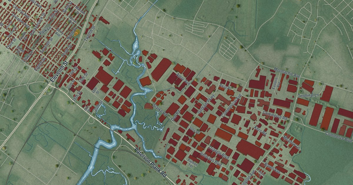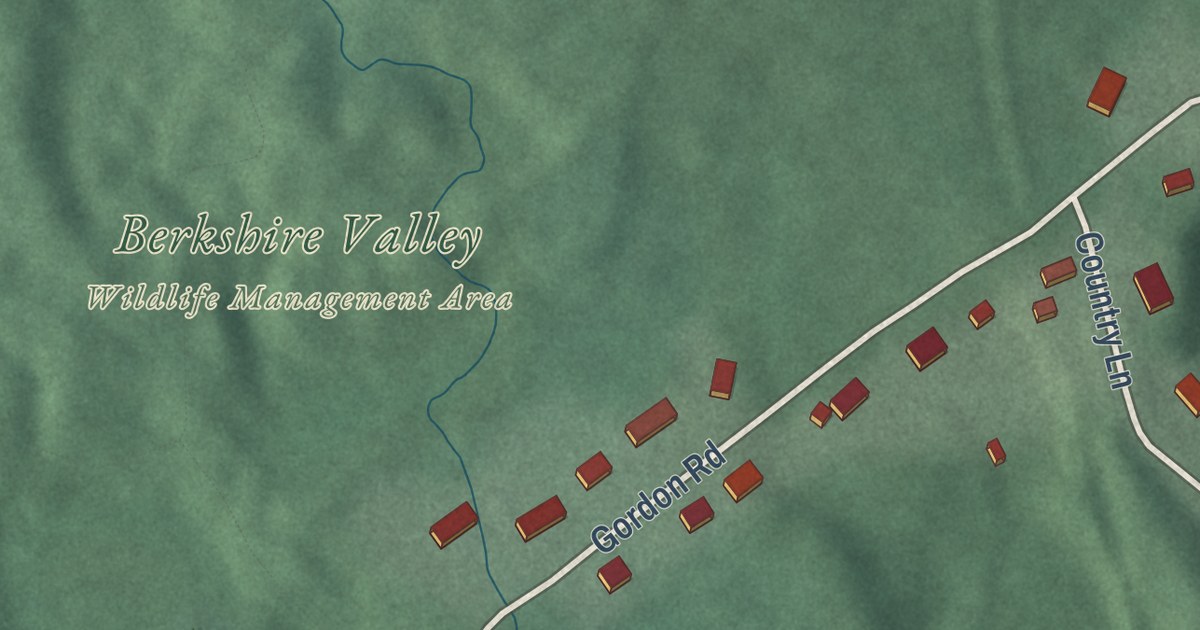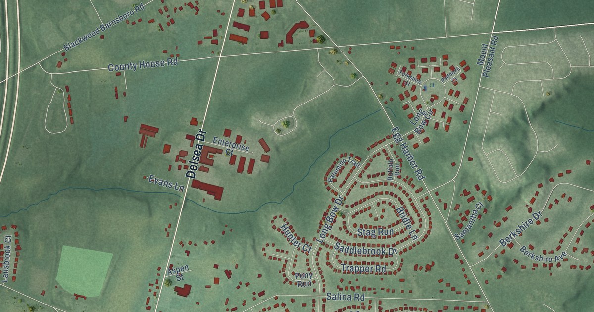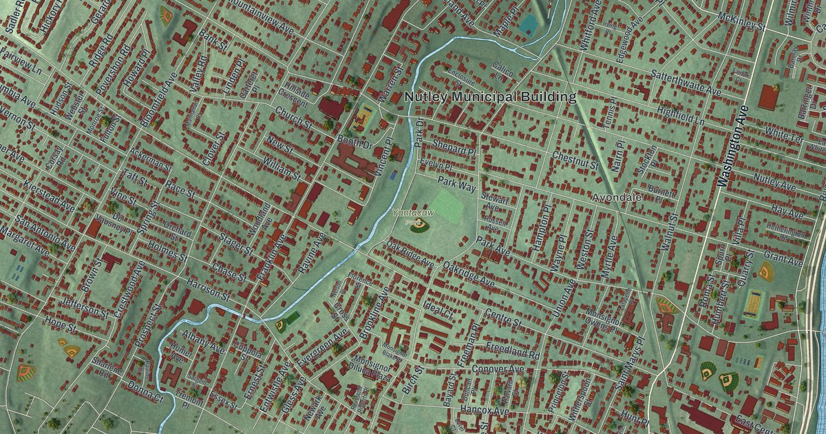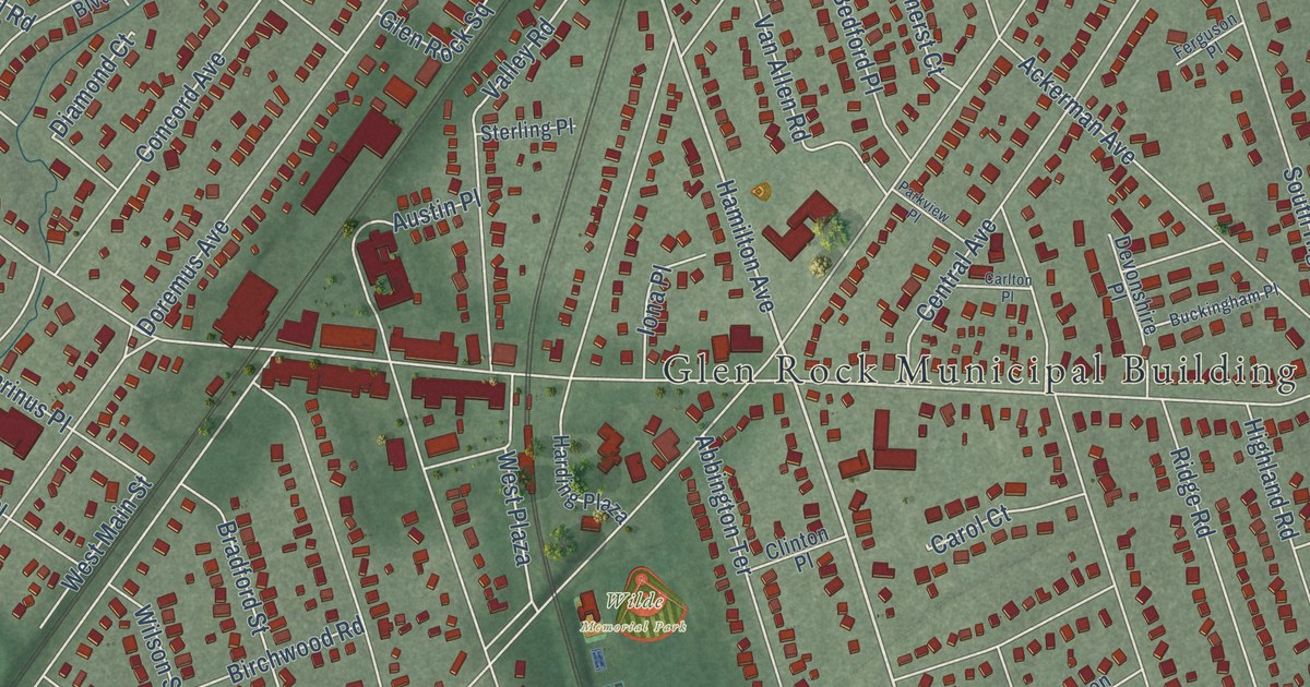
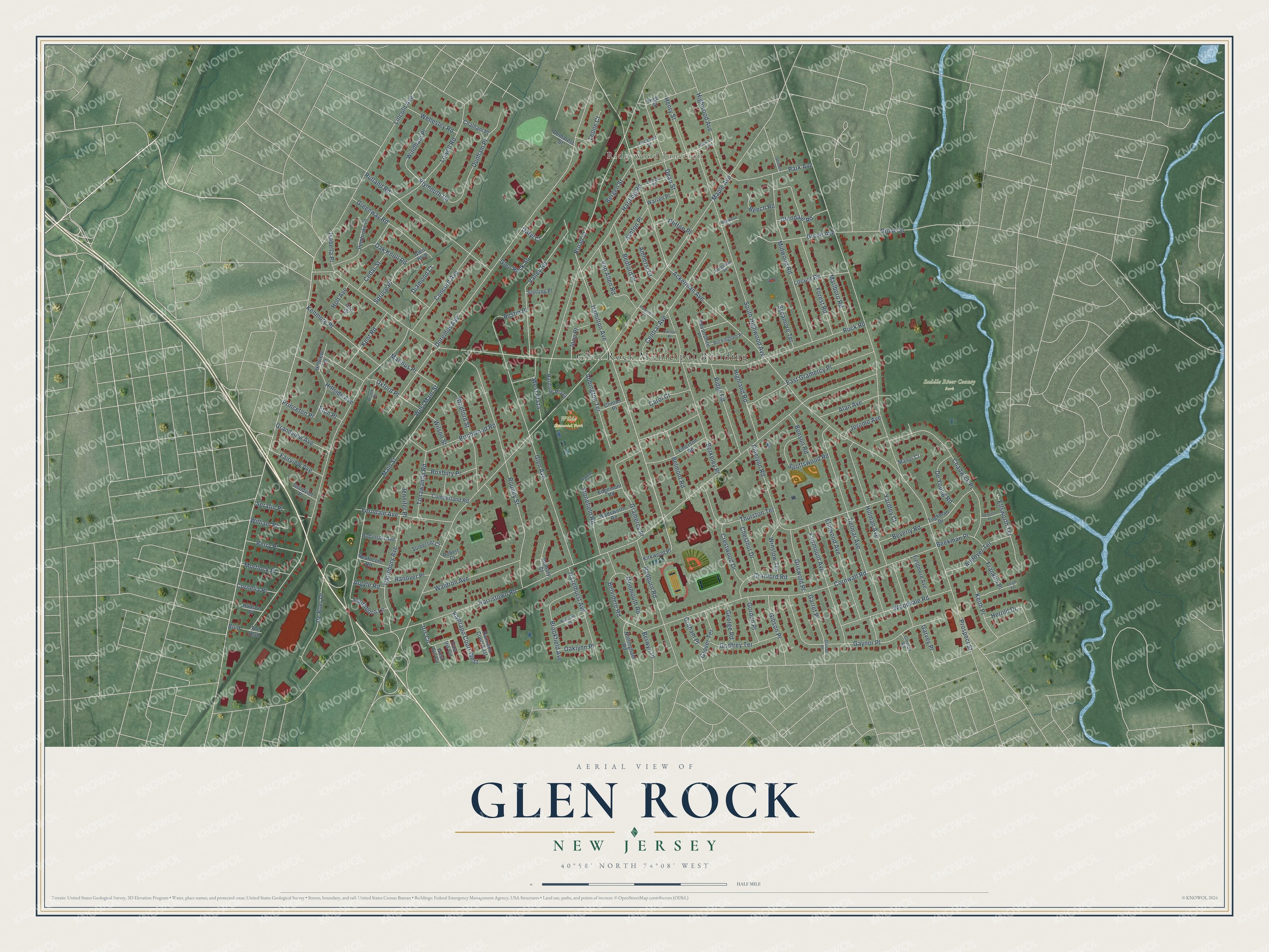
This beautifully detailed map of Glen Rock, New Jersey was created in 2026 using aerial imagery combined with modern topographical, census, street and landmark data. It’s a one-of-a-kind view of Glen Rock that combines accurate data with a vintage aesthetic. The map shows every building in its true location, many of the roads carry their names, and the shaded topographic relief shows the shape of the land.
Explore an aerial view of Glen Rock, New Jersey
On the map you’ll find Glen Rock Municipal Building, Ridgewood Junction, Saddle River County Park, Thielke Arboretum, and Wilde Memorial Park, along with Plymouth Road, Hamilton Avenue, Harristown Road, Maple Avenue, Lincoln Avenue, Rock Road, Prospect Street, and more. If you look closely you can even find your house accurately drawn in its correct location. Zoom in on the preview to look for yours.
Did You Know?
The borough grew up around the Glen Rock, a huge boulder in a small valley. It weighs about 570 tons. Geologists believe a glacier carried it some 20 miles from near Peekskill, New York. The Lenape called it Pamachapuka, or stone from heaven, and lit signal fires on it.
Take a closer look at the Glen Rock map
Names on this map
These names are printed on this map.
Places: Glen Rock Municipal Building, Ridgewood Junction, Saddle River County Park and Wilde Memorial Park.
Streets and roads: Plymouth Road, Hamilton Avenue, Harristown Road, Maple Avenue, Lincoln Avenue, Rock Road, Prospect Street, Ackerman Avenue, Doremus Avenue, Boulevard, Cornwall Road, Main Street.
More street names, A to Z
Abbington Terrace, Alan Avenue, Amherst Court, Andover Terrace, Argyle Road, Ashton Place, Austin Place, Bedford Place, Beech Road, Beekman Place, Belmont Road, Belvidere Road, Benson Road, Bergen Street, Berkeley Place, Berry Place, Berwyn Place, Beverly Road, Birchwood Road, Bradford Street, Broad Street, Brookfield Avenue, Brook Place, Buckingham Place, Carlton Place, Carol Court, Cedar Street, Central Avenue, Chadwick Place, Chatham Place, Chestnut Drive, Clifton Place, Clinton Place, Concord Avenue, Cornelia Place, Cranford Road, Crestwood Drive, Cumberland Road, Daryl Court, Dean Street, De Boer Drive, Delmar Avenue, Demarest Street, Devonshire Place, De Young Road, Diamond Court, Driscoll Place, Dunham Place, East Gramercy Place, East Iris Circle, Edgemont Road, Elizabeth Street, Ellsworth Terrace, Elmwood Avenue, Emerson Road, Eton Place, Fairmount Avenue, Fairview Avenue, Ferguson Place, Ferndale Avenue, Fieldmere Avenue, Forest Road, Franklin Place, Garret Place, Garrett Place, Garvey Place, Gaynor Place, George Road, Gibson Place, Glen Avenue, Glen Boulevard, Glendale Road, Glenfair Road, Glen Rock Square, Godfrey Terrace, Goodviet Place, Gordon Place, Graham Place, Gramercy Place, Grandview Avenue, Greenway Road, Griswold Place, Grove Avenue, Grover Terrace, Grove Street, Hanover Place, Harding Plaza, Harding Road, Hazelhurst Avenue, Heathcote Road, Henry Street, Herold Drive, Highland Road, High Street, Highwood Avenue, Highwood Terrace, Hillman Avenue, Hillside Avenue, Hillview Terrace, Holt Avenue, Holt Court, Hudson Place, Iona Place, Iris Circle, Isabella Place, Jennifer Place, Jerome Avenue, Keith Place, Kenmore Place, Kent Road, Kirkwood Place, Lehigh Place, Leigh Terrace, Leone Court, Locust Road, Lowell Road, Manor Court, Marinus Place, Marlboro Road, Midwood Road, Monmouth Road, Mortlock Place, Norwood Avenue, Nottingham Road, Oak Knoll Road, Oaklynn Place, Oxford Place, Pamrapo Court East, Pamrapo Court West, Park Avenue, Parkview Place, Pembroke Place, Pinelynn Road, Princeton Place, Radburn Road, Ridge Road, Robert Court, Robinson Avenue, Rocklynn Place, Rodney Street, Romary Court, Roxbury Place, Rutland Road, Salem Court, Serafin Place, Somerset Court, Southboro Lane, South Highwood Avenue, Spottswood Road, Spruce Place, Sterling Place, Stillwell Place, Stonefield Road, Sycamore Terrace, The Boulevard, Thornbury Avenue, Thurston Terrace, Tilghman Drive, Tonawanda Road, Valley Road, Van Allen Road, Wadsworth Road, Waldron Avenue, Warren Place, Wellesley Road, West Iris Circle, West Main Street, West Plaza, William Place, Wilson Street, Windham Place, Winslow Terrace, Woodvale Road, Yardley Court.
See it on a wall
The Glen Rock map as an 18 x 24 inch print in a black frame.

This beautifully detailed map of Glen Rock makes an attractive addition to your office, library, or den, and it can even be used to teach children the geography and history of the area. It also makes a great gift for anyone with Glen Rock roots. When you’re done exploring, click here to get your copy of the Glen Rock map.