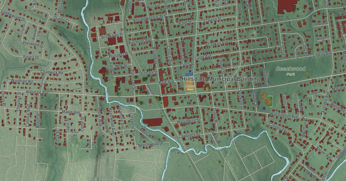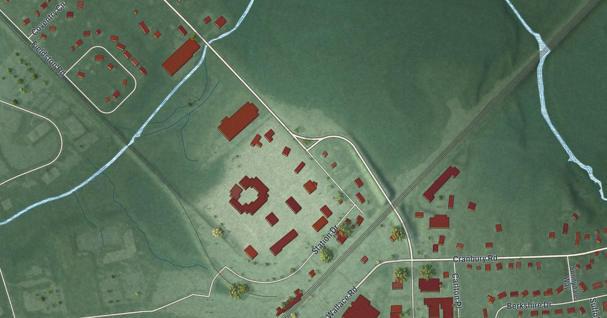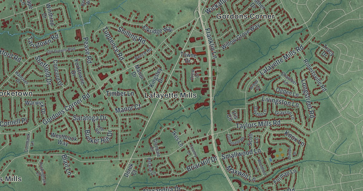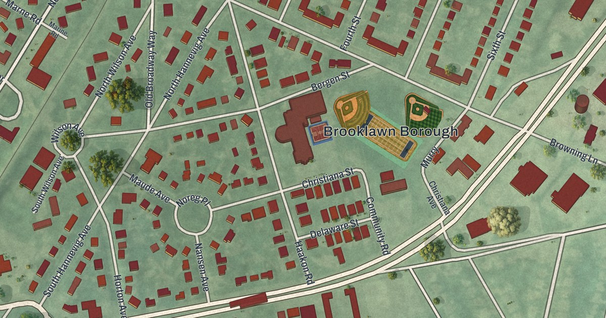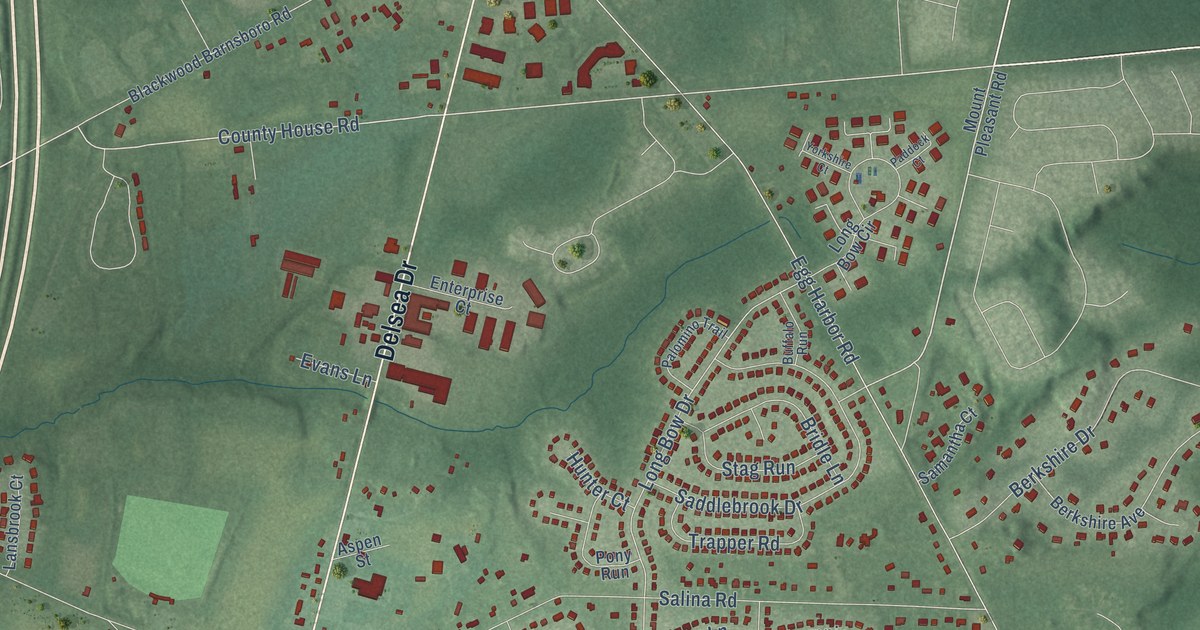
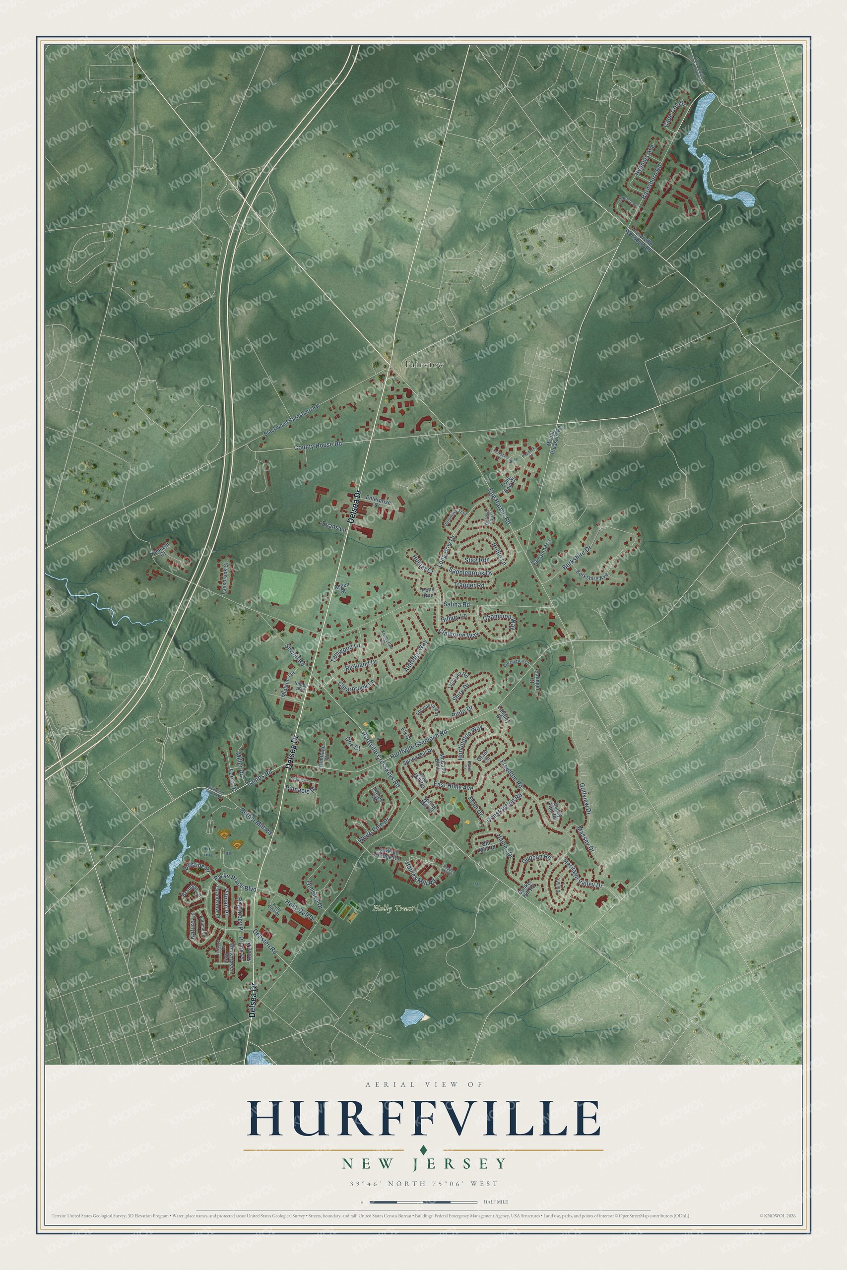
This beautifully detailed map of Hurffville, New Jersey was created in 2026 using aerial imagery combined with modern topographical, census, street and landmark data. It’s a one-of-a-kind view of Hurffville that combines accurate data with a vintage aesthetic. The map shows every building in its true location, many of the roads carry their names, and the shaded topographic relief shows the shape of the land.
Explore an aerial view of Hurffville, New Jersey
On the map you’ll find Holly Tract and Fairview, along with Delsea Drive, Lambs Road, County House Road, Long Bow Drive, Salina Road, East Holly Avenue, Hurffville Grenloch Road, Egg Harbor Road, Freedom Road, Hurffville Crosskeys Road, and more. If you look closely you can even find your house accurately drawn in its correct location. Zoom in on the preview to look for yours.
Did You Know?
From Internet Archive: "Hurff, a prosperous farmer, and a descendant of the original German settler for whom the town of Hurffville was named."
Hurffville is a community in Gloucester County.
Take a closer look at the Hurffville map
Names on this map
These names are printed on this map.
Places: Holly Tract and Fairview.
Streets and roads: Delsea Drive, Lambs Road, County House Road, Long Bow Drive, Salina Road, East Holly Avenue, Hurffville Grenloch Road, Egg Harbor Road, Freedom Road, Hurffville Crosskeys Road, Berkshire Drive, Saddlebrook Drive.
More street names, A to Z
Aldridge Way, Appaloosa Way, Armitage Court, Aspen Street, Autumn Lane, Barnsboro Road, Bates Court, Berkshire Avenue, Bethel Mill Road, Blackwood Barnsboro Road, Brandon Lane, Bridle Lane, Buffalo Run, Bunker Hill Road, Cape Cod Drive, Carrington Court, Champion Way, Claiborne Way, Clearbrook Lane, Collins Lane, Constitution Road, Covered Bridge Road, Densten Road, Doe Court, Duncan Road, Elk Court, Enterprise Court, Evans Lane, Ferro Drive, Golfview Drive, Good Intent Lower Landing Road, Grandview Place, Grant Circle, Haines Drive, Haines Mill Road, Hampshire Avenue, Heritage Valley Drive, Hillary Lane, Hilltop Avenue, Holly Dell Court, Holly Dell Drive, Hunter Court, Huntington Way, Hyannis Avenue, Juniper Road, Kenneth Court, Kimberlee Court, Langley Drive, Lansbrook Court, Leisure Lane, Lipizzan Road, Long Bow Circle, Massey Drive, McCann Boulevard, Meridian Lane, Midland Terrace, Miller Drive, Mount Pleasant Road, Nature Lane, Noble Place, Old Mill Road, Olmsted Drive, Paddock Court, Palomino Trail, Parke Place Boulevard, Penn Drive, Pepper Mill Court, Pinnacle Place, Pinto Drive, Pitman Place, Pony Run, Prime Place, Pristine Place, Regencey Place, Richwood Pitman Road, Rickland Drive, Salinger Court, Samantha Court, Saw Mill Road, Sewell Road, Shire Drive, Spring Mill Court, Spring Mill Drive, Stag Run, Tamwood Lane, Trapper Road, Turnerville Woodbury Road, Valley Run Road, White Pine Drive, Wintergreen Way, Yorkshire Court.
See it on a wall
The Hurffville map as a framed print. Swipe for more.


This beautifully detailed map of Hurffville makes an attractive addition to your office, library, or den, and it can even be used to teach children the geography and history of the area. It also makes a great gift for anyone with Hurffville roots. When you’re done exploring, click here to get your copy of the Hurffville map.