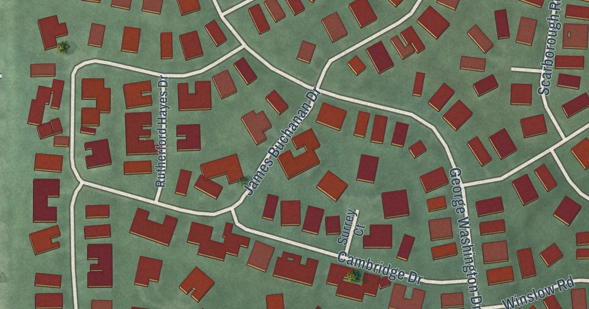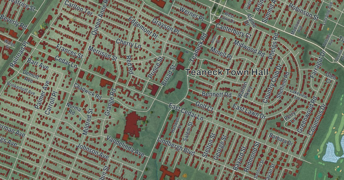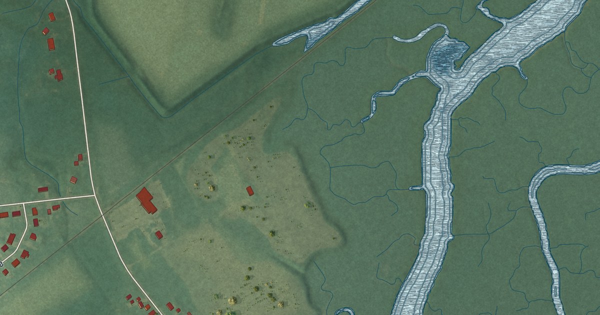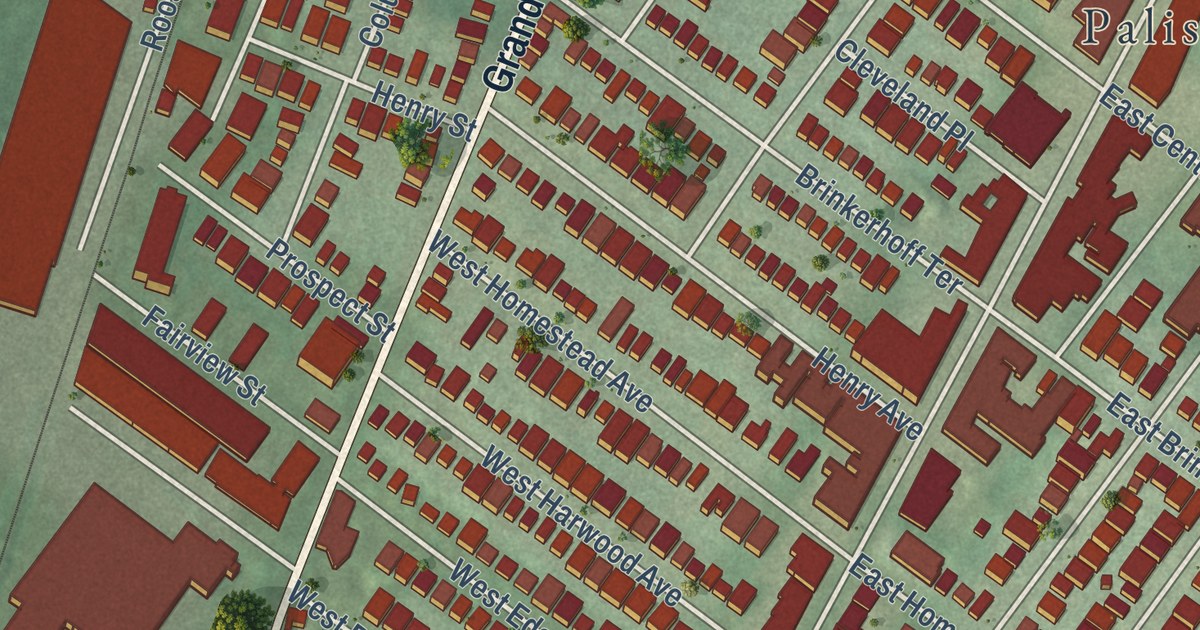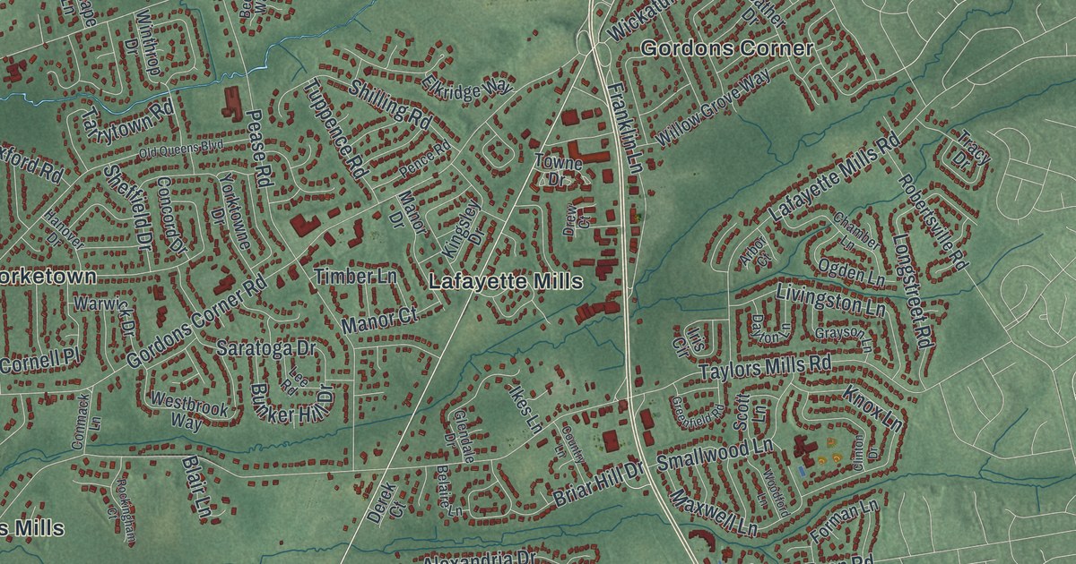
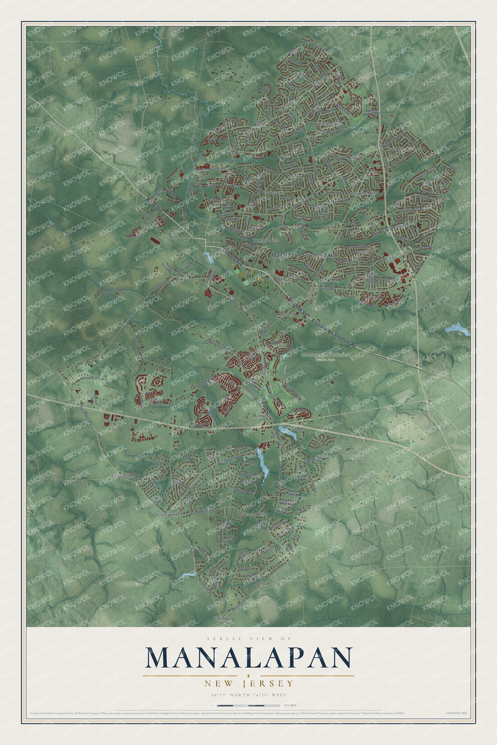
This beautifully detailed map of Manalapan, New Jersey was created in 2026 using aerial imagery combined with modern topographical, census, street and landmark data. It’s a one-of-a-kind view of Manalapan that combines accurate data with a vintage aesthetic. The map shows every building in its true location, many of the roads carry their names, and the shaded topographic relief shows the shape of the land.
Explore an aerial view of Manalapan, New Jersey
On the map you’ll find Manalapan Township Hall, Bairdsville, Carrs Corner, Clarks Mills, Elton, Gordons Corner, and Monmouth Battlefield State Park, along with Englishtown-Freehold Road, Wood Avenue, Tennent Avenue, Freehold Road, and more. If you look closely you can even find your house accurately drawn in its correct location. Zoom in on the preview to look for yours.
Did You Know?
Manalapan is a Native American name that means good cultivation. When European settlers arrived, this area was the center of the homeland of the Unami, or Turtle clan, of the Lenni Lenape people. That’s from the 1939 WPA guide to New Jersey.
Take a closer look at the Manalapan map
Names on this map
These names are printed on this map.
Places: Manalapan Township Hall, Monmouth Battlefield State Park, Bairdsville, Carrs Corner, Clarks Mills, Elton, Gordons Corner, Lafayette Mills, Millhurst, Oakland Mills, Smithburg, Taylors Mills, Tennent, Whittier Oaks and Yorketown.
Streets and roads: Englishtown-Freehold Road, Wood Avenue, Tennent Avenue, Freehold Road, Tracy Station Road, Smithburg Road, Tennent Road, Woodville Road, Main Street, Wickatunk Road, Monmouth Road, Woodward Road.
More street names, A to Z
Adams Court, Alexandria Drive, Alyssa Lane, Amberly Drive, Annapolis Drive, Apache Drive, Appaloosa Drive, Apple Blossom Lane, Appomattox Drive, Arbach Lane, Arbor Court, Arrowood Road, Astor Drive, Bailey Court, Beagle Drive, Beena Way, Belaire Lane, Belle Terre Drive, Blair Lane, Blenheim Road, Bloomfield Road, Briar Hill Drive, Bristol Road, Bunker Hill Drive, Bur Court, Burke Street, Cannonero Boulevard, Carl Street, Carole Court, Century Way, Chamber Lane, Champions Way, Chaucer Road, Church Lane, Clinton Drive, Colby Court, Comtois Road, Concord Drive, Conmack Lane, Connor Drive, Conover Lane, Cooperhawk Drive, Cornell Place, Cornwallis Court, Country Lane, Country Oaks Drive, Covered Bridge Boulevard, Cozy Drive, Craig Road, Crest Fruit Court, Crystal Court, Dana Court, Dancer Lane, Daum Road, Dayton Lane, Deer Way, Denise Court, Derek Court, Devon Drive, Dey Grove Road, Drew Court, East Parsonage Way, Edwards Lane, Eliot Road, Elisa Court, Elkridge Way, Emily Road, Equinox Lane, Fallswood Lane, Farm Tree Road, Fells Drive, Forest Drive, Forman Lane, Franklin Lane, Friar Lane, Galahad Drive, Gettysburg Drive, Glendale Drive, Gold Court, Gordons Corner Road, Gramercy Lane, Gravel Hill Road, Grayson Lane, Greenfield Road, Greenleaf Drive, Gulley Road, Hancock Lane, Hanover Drive, Hartack Road, Hawkins Road, Heather Drive, Hedgerow Lane, Herbert Drive, Heron Court, Hickory Court, Hidden Pond Court, High Bridge Road, Highland Ridge Road, Hill Court, Hillside Road, Ikes Lane, Iris Circle, Iron Ore Road, Ivanhoe Drive, Ivy Lane, Jared Drive, Jeanine Court, Joseph Street, Kilmer Drive, Kimberly Court, Kingsley Drive, Kinney Road, Kipling Way, Knox Lane, Lafayette Mills Road, Lakeview Drive, Lamb Lane, Lauren Court, Lee Road, Lenape Lane, Le Valley Drive, Lincolnshire Drive, Livingston Lane, Lone Star Lane, Longstreet Road, Madigan Lane, Madison Avenue, Manor Court, Manor Drive, Maple Knoll Lane, Market Road, Matawan Street, Maxwell Lane, McBride Road, McCaffery Road, Mercer Lane, Michael Lane, Millhurst Road, Mill Road, Mohawk Lane, Molly Pitcher Drive, Monterey Lane, Mount Vernon Road, Narrowbrook Court, Nature Drive, Navajo Road, New Beginnings Crossing, Newport Drive, Nottingham Road, Nottinghill Court, Oak Knoll Drive, Oakland Mills Road, Ogden Lane, Old Cider Mill Road, Old Queens Boulevard, Oxford Road, Palomino Drive, Pease Road, Pegasus Boulevard, Pence Road, Pension Road, Pinebrook Road, Quail Court, Railroad Avenue, Randall Drive, Red Fox Run, Regency Way, Rifkin Court, Riva Ridge Road, Robertsville Road, Robin Court, Rockingham Court, Rowena Road, Roxbury Lane, Rumford Way, Ryan Road, Sandpiper Drive, Saratoga Drive, Saupe Drive, Sawgrass Drive, Scott Lane, Secretariat Drive, Sheffield Drive, Shepard Way, Sherri Drive, Shilling Road, Shinnecock Drive, Shira Lane, Smallwood Lane, Smock Court, Sobecko Road, Stayman Court, Sugar Loaf Place, Summer Drive, Summit Avenue, Sutton Drive, Sweetmans Lane, Symmes Road, Tall Woods Drive, Tamar Court, Tarrytown Road, Taylors Mills Road, Templar Road, Terence Drive, Thomas Drive, Thompson Grove Road, Thoreau Drive, Timber Lane, Towne Drive, Tracy Drive, Tuppence Road, Turnberry Drive, Twin Lakes Drive, Union Hill Road, Vail Valley Drive, Valley Road, Victorian Hill, Village Road, Warwick Drive, Washingtons Advance, Westbrook Way, West Parsonage Way, Whittier Drive, Wild Turkey Way, Wilfred Road, Willow Grove Way, Wilson Avenue, Wiltshire Drive, Winfield Drive, Winners Circle, Wintergreen Drive, Winthrop Drive, Woodford Lane, Woodhollow Drive, Yates Road, Yorktowne Drive.
See it on a wall
The Manalapan map as an 18 x 24 inch print in a black frame.

This beautifully detailed map of Manalapan makes an attractive addition to your office, library, or den, and it can even be used to teach children the geography and history of the area. It also makes a great gift for anyone with Manalapan roots. When you’re done exploring, click here to get your copy of the Manalapan map.