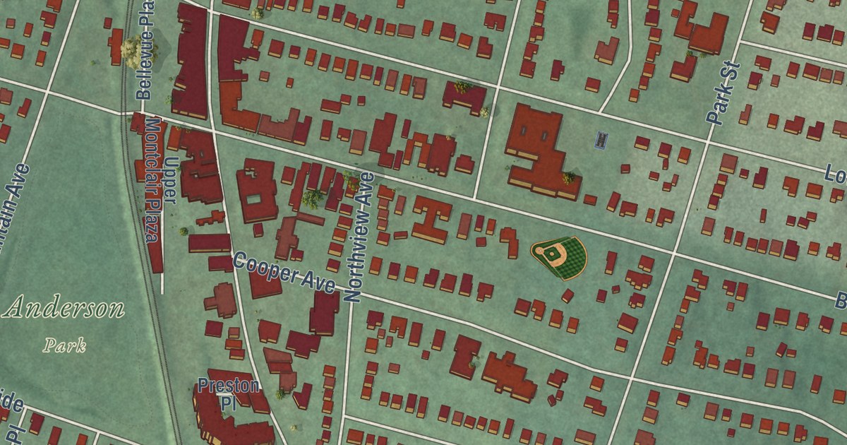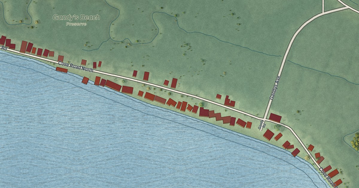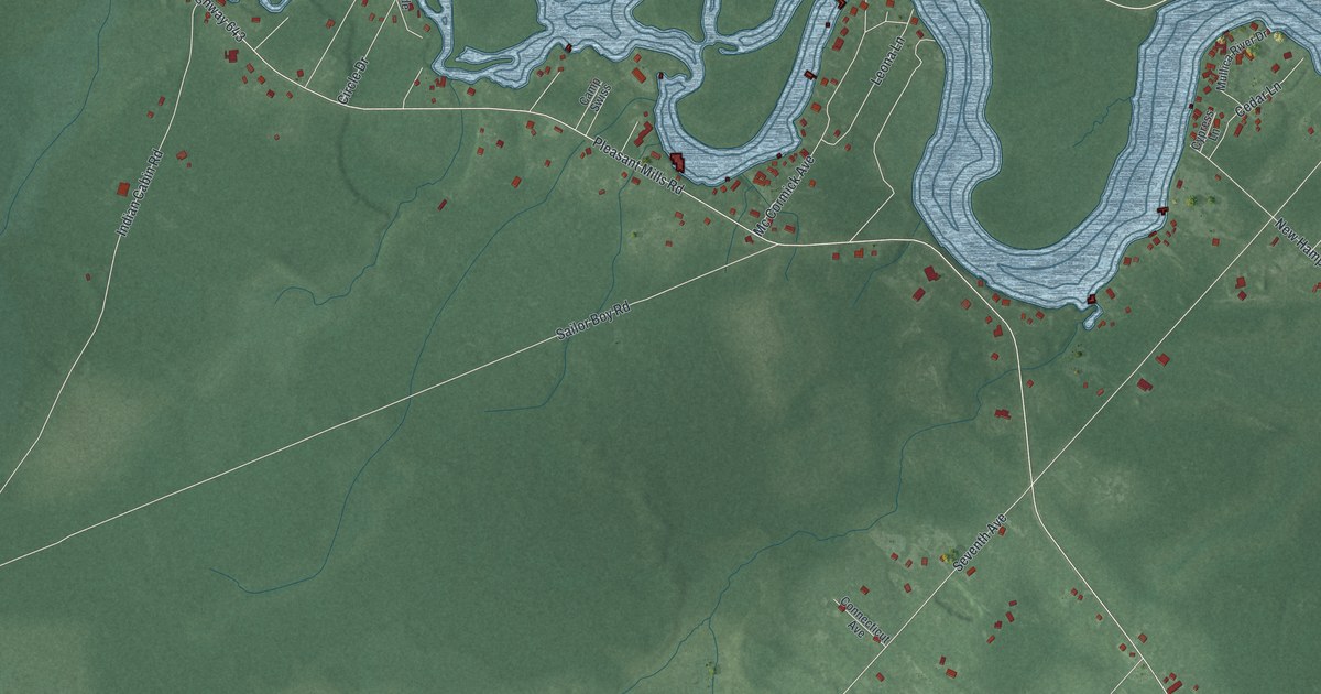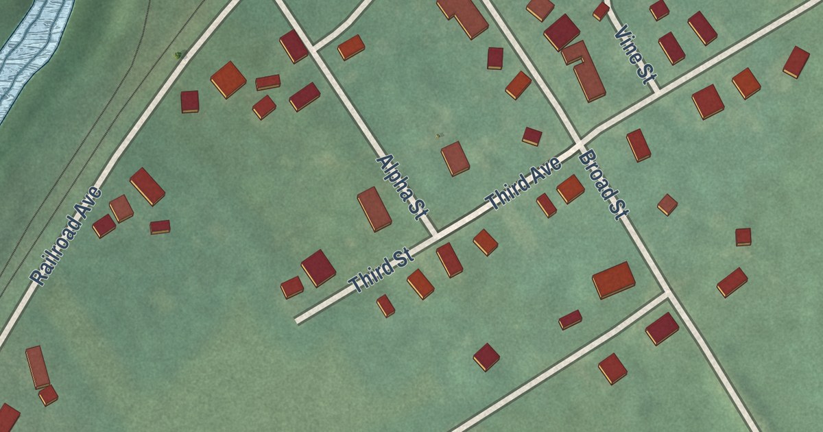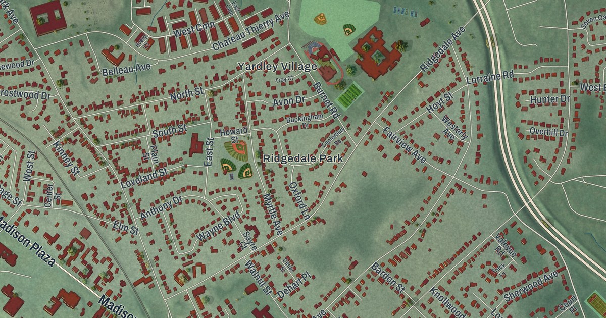
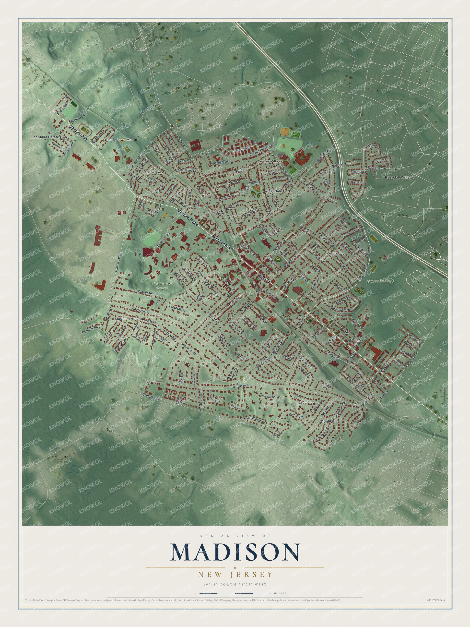
This beautifully detailed map of Madison, New Jersey was created in 2026 using aerial imagery combined with modern topographical, census, street and landmark data. It’s a one-of-a-kind view of Madison that combines accurate data with a vintage aesthetic. The map shows every building in its true location, many of the roads carry their names, and the shaded topographic relief shows the shape of the land.
Explore an aerial view of Madison, New Jersey
On the map you’ll find Madison Plaza, Crestview, Fairwoods, Glenfield, Knollwood, Madison Heights, Memorial Park, The Forest Reserve, and Niles Park, along with Madison Avenue, Main Street, Loantaka Way, Rosedale Avenue, and more. If you look closely you can even find your house accurately drawn in its correct location. Zoom in on the preview to look for yours.
Did You Know?
Before 1834, Madison was called Bottle Hill, a name historians trace to a nearby tavern. Its many greenhouses later earned it the nickname Rose City. Geraldine Rockefeller Dodge gave the town its million-dollar Municipal Building as a memorial to her son. That’s from the 1939 WPA guide to New Jersey.
Take a closer look at the Madison map
Names on this map
These names are printed on this map.
Places: Memorial Park, The Forest Reserve, Niles Park, Crestview, Fairwoods, Glenfield, Knollwood, Loantaka Estates, Madison Heights, Ridgedale Park, Rosedale Village, Shady Lawn Manor and Yardley Village.
Streets and roads: Madison Avenue, Madison Plaza, Main Street, Loantaka Way, Rosedale Avenue, East Lane, Rachael Avenue, West Cmn, Grove Street, Edgewood Road, Woodland Road, Kings Road.
More street names, A to Z
Academy Road, Albright Circle, Alexander Avenue, Alma Avenue, Anthony Drive, Ardsleigh Drive, Arlena Court, Ashland Road, Avery Court, Avon Drive, Bardon Street, Barnsdale Road, Beaupland Place, Beech Avenue, Belleau Avenue, Belmont Avenue, Beverly Road, Brannick Drive, Brittin Street, Broadview Avenue, Brooklake Road, Bruns Street, Buckingham Drive, Burnet Road, Candlewood Drive, Canterbury Road, Carteret Court, Cedar Avenue, Cedar Street, Center Street, Central Avenue, Chapel Street, Chateau Thierry Avenue, Colonial Way, Community Place, Cook Avenue, Coursen Way, Court Place, Crescent Road, Crestview Avenue, Crestwood Drive, Cross Gates Road, Cross Street, Danforth Road, Dean Street, Dehart Place, Delbarton Drive, Dellwood Drive, Division Avenue, Dogwood Drive, Douglas Avenue, Drew Place, Durwood Place, Dwyer Street, East Cmn, East Street, Elmer Street, Elm Street, Essex Place, Esti Court, Fairview Avenue, Fairwood Road, Fen Court, Ferndale Road, Fletcher Place, Garfield Avenue, Gatehouse Road, Gibbons Place, Glendale Road, Glenwild Circle, Glenwild Road, Green Avenue, Green Hill Road, Green Village Road, Greenwood Avenue, Hamilton Street, Harwood Drive, Highland Avenue, Highview Terrace, Hillcrest Road, Hillside Avenue, Holden Lane, Howard Street, Howell Street, Hoyt Street, Hunter Drive, Independence Court, John Avenue, Keep Street, Kensington Road, Kinney Street, Knollwood Avenue, Lancaster Road, Lathrop Avenue, Laurel Way, Lawrence Road, Lee Avenue, Leigh Drive, Lewis Drive, Lincoln Place, Loantaka Terrace, Locust Street, Longview Avenue, Lorraine Road, Loveland Street, Maple Avenue, Midwood Terrace, Morris Place, Myrtle Avenue, Niles Avenue, Noe Avenue, Nordling Lane, Norman Circle, North Street, Oak Court, Olde Greenhouse Lane, Orchard Street, Overhill Drive, Overlook Road, Oxford Lane, Page Street, Park Avenue, Park Lane, Parkside Avenue, Pine Avenue, Pine Tree Terrace, Plain Street, Pomeroy Road, Prospect Street, Redmond Drive, Ridgedale Avenue, Rolling Hill Court, Roscoe Avenue, Rose Avenue, Rosewood Drive, Ross Court, Samson Avenue, Sayre Court, Seaman Street, Seven Oaks Circle, Shadylawn Drive, Shepherd Lane, Sherwood Avenue, Shunpike Road, South Oak Court, South Street, Spring Garden Drive, Stafford Drive, Station Road, Stonehedge Lane, Surrey Lane, Tracy Lane, Trail Place, Treadwell Avenue, Troy Court, Union Hill Road, Valevue Road, Valley Road, Vinal Place, Vinton Road, Walnut Street, Waverly Place, Wayne Boulevard, West End Avenue, Westerly Avenue, West Lane, West Street, Wilmer Street, Wilson Lane, Winding Way, Wisteria Court, Woodcliff Drive.
See it on a wall
The Madison map as an 18 x 24 inch print in a black frame.

This beautifully detailed map of Madison makes an attractive addition to your office, library, or den, and it can even be used to teach children the geography and history of the area. It also makes a great gift for anyone who grew up in Madison or moved away. When you’re done exploring, click here to get your copy of the Madison map.