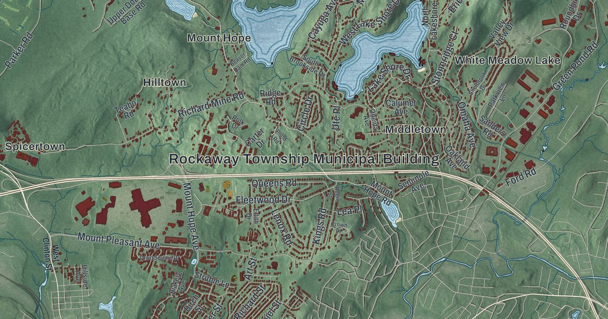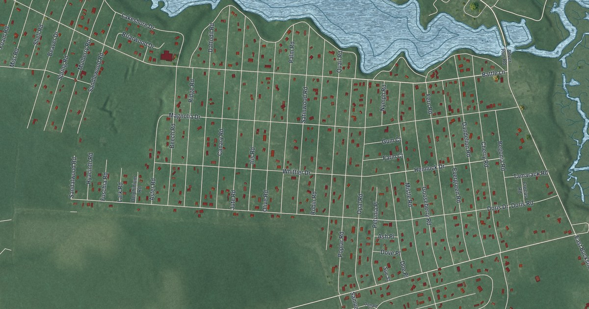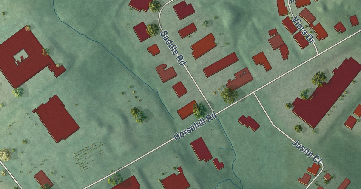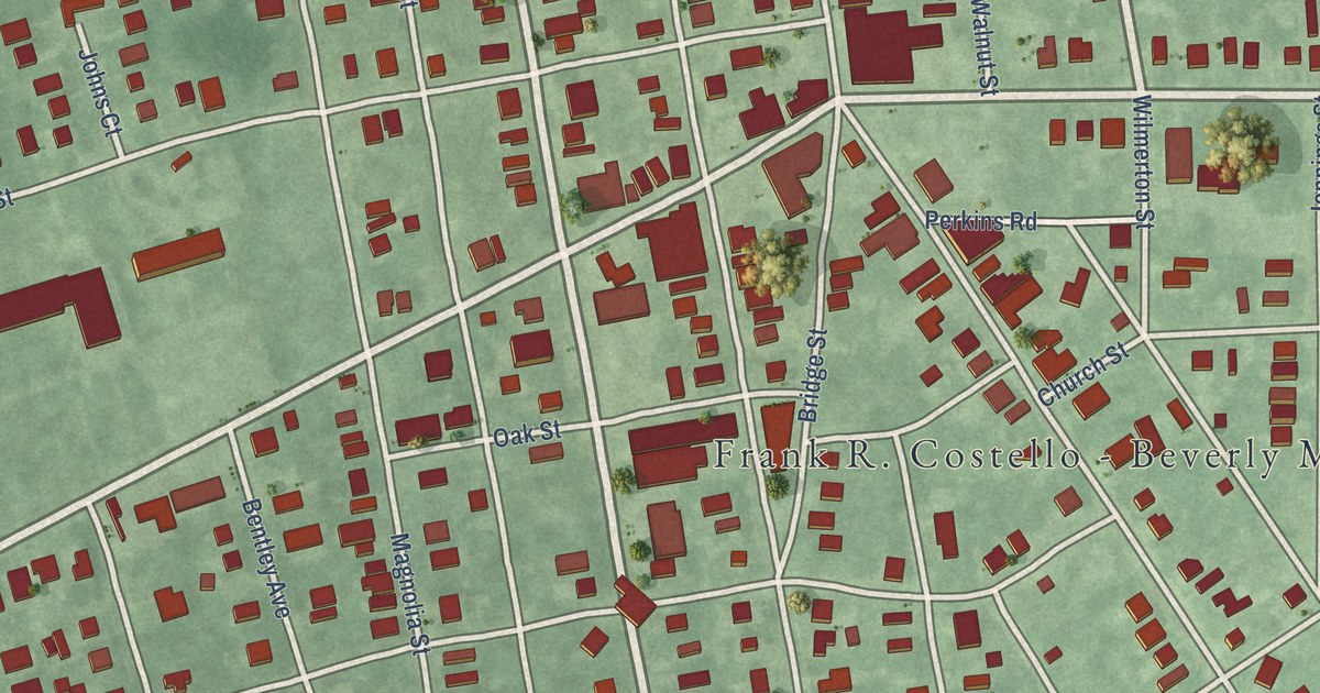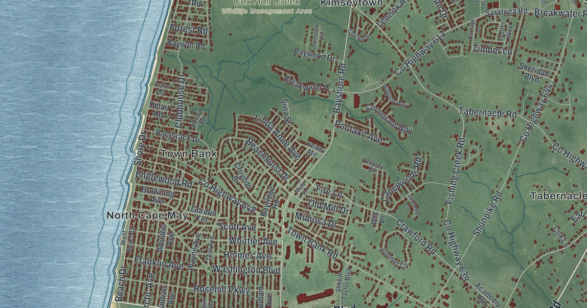
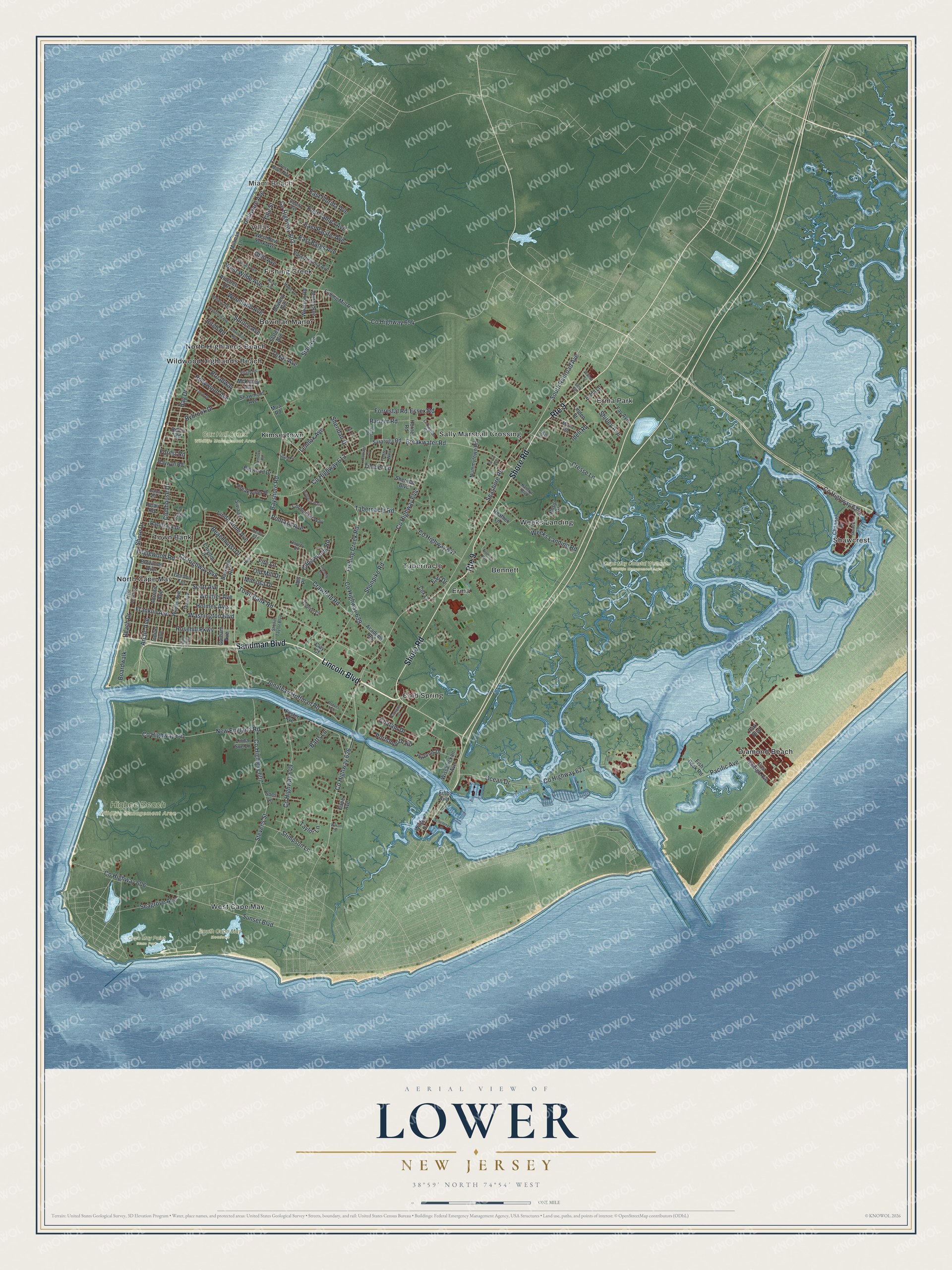
This beautifully detailed map of Lower, New Jersey was created in 2026 using aerial imagery combined with modern topographical, census, street and landmark data. It’s a one-of-a-kind view of Lower that combines accurate data with a vintage aesthetic. The map shows every building in its true location, many of the roads carry their names, and the shaded topographic relief shows the shape of the land.
Explore an aerial view of Lower, New Jersey
On the map you’ll find Miami Beach, Bennett, Cold Spring, Diamond Beach, Erma, Cape May Coastal Wetlands Wildlife Management Area, Cape May Point State Park, Cox Hall Creek Wildlife Management Area, and Higbee Beach Wildlife Management Area, along with Shore Road, Lincoln Boulevard, Sandman Boulevard, Seashore Road, Bayshore Road, and more. If you look closely you can even find your house accurately drawn in its correct location. Zoom in on the preview to look for yours.
Did You Know?
Many whales swam off the Cape May coast. Around 1640, Dutch explorers founded Town Bank here as a whaling village. It became the county’s first European settlement. The township took its name from its position when the county was divided into three townships in 1723.
Take a closer look at the Lower map
Names on this map
These names are printed on this map.
Places: Miami Beach, Cape May Coastal Wetlands Wildlife Management Area, Cape May Point State Park, Cox Hall Creek Wildlife Management Area, Higbee Beach Wildlife Management Area, South Cape May Meadows, Bennett, Bowman Manor, Cold Spring, Diamond Beach, Erma, Erma Park, Fishing Creek, Kimseytown, North Cape May, North Highlands Beach, Sally Marshall Crossing, Shawcrest, Tabernacle, Town Bank, Villas, Weeks Landing, West Cape May and Wildwood Highlands Beach.
Streets and roads: Shore Road, Lincoln Boulevard, Sandman Boulevard, Route 9, County Highway 603, Seashore Road, County Highway 626, Bayshore Road, Stimpson Lane, Beach Drive, South Railroad Avenue, County Highway 641.
More street names, A to Z
Academy Road, Adriatic Avenue, Arctic Avenue, Avalon Road, Batts Lane, Bay Drive, Bayridge Road, Baywood Drive, Baywyn Road, Beachhurst Drive, Birch Road, Boardwalk, Breakwater Place, Breakwater Road, Broadway, Browning Avenue, Bybrook Drive, Cape Avenue, Capewoods Road, Captains Court, Carriage Lane, Channel Drive, Charles Street, Chatam Drive, Clay Court, Cloverdale Avenue, Clubhouse Drive, Cormorant Way, County Highway 606, County Highway 607, County Highway 613, County Highway 621, County Highway 624, County Highway 639, County Highway 644, County Highway 647, County Highway 648, County Highway 649, County Highway 654, Cox Lane, Cranefly Circle, Crawford Road, Cresse Lane, Croydon Drive, Delair Road, Delaware Avenue, Desoto Avenue, Earl Drive, East Bates Avenue, East Florida Avenue, East Pacific Avenue, East Raleigh Avenue, East Tampa Avenue, East Virginia Avenue, Elm Street, Englewood Road, Erma Lane, Essex Road, Evergreen Avenue, Fay Avenue, Fifth Avenue, Fire Lane, First Street, Fish Dock Road, Fishing Creek Road, Florence Avenue, Forest Road, Forrestal Road, Foster Avenue, Frances Avenue, Franklin Avenue, Fulling Mill Road, Gordon Terrace, Gorham Avenue, Grove Avenue, Heather Lane, Heide Avenue, Hemlock Road, Hollywood Avenue, Holmes Avenue, Hornet Road, Hyannis Drive, Ibis Place, Idell Road, Indian Avenue, Jonathan Hoffman Road, Kathryn Boulevard, Lennox Avenue, Lexington Road, Linda Anne Avenue, Linda Sue Lane, Linden Street, Maple Avenue, McKinley Avenue, Millman Lane, Mimosa Drive, Misty Lane, Morris Avenue, Mowery Avenue, Mua Road, Myrna Road, New England Road, Nummytown Road, Oak Lane, Ocean Drive, Ohio Avenue, Old Mill Drive, Osprey Drive, Oxford Road, Pacific Avenue, Park Boulevard, Pilgrim Plaza, Pinetree Drive, Pontaxit Avenue, Portsmouth Road, Racetrack Drive, Ranger Road, Reeves Avenue, Robin Road, Rosehill Parkway, Rose Lane, Rossi Drive, Saratoga Road, Schellenger Street, Scott Avenue, Seagrove Avenue, Shawcrest Road, Shawmont Avenue, Sheridan Boulevard, Sheridan Drive, Sheriff Taylor Boulevard, Shirley Avenue, Shore Drive, Shunpike Road, Sivia Street, Socs Lane, Spruce Avenue, Star Avenue, States Avenue, Stevens Street, Summer Circle, Sunset Boulevard, Tabernacle Road, Tahoe Drive, Taylor Lane, Teal Avenue, Texas Avenue, Timber Lane, Town Bank Road, Trotter Way, Village Road, Walnut Avenue, Walnut Street, Washington Boulevard, Wayne Avenue, Weeks Landing Road, West Beach Drive, West Miami Avenue, West New York Avenue, West Road, West Wilde Avenue, Whittier Avenue, Widgeon Way, Wilson Drive, Wilson Street, Wissahickon Avenue, Woodland Avenue, Woolson Road, Yale Street.
See it on a wall
The Lower map as an 18 x 24 inch print in a black frame.

This beautifully detailed map of Lower makes an attractive addition to your office, library, or den, and it can even be used to teach children the geography and history of the area. It also makes a great gift for anyone with Lower roots. When you’re done exploring, click here to get your copy of the Lower map.