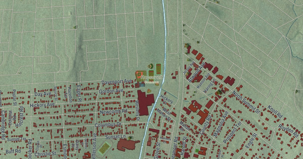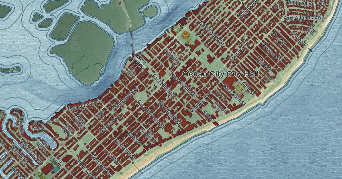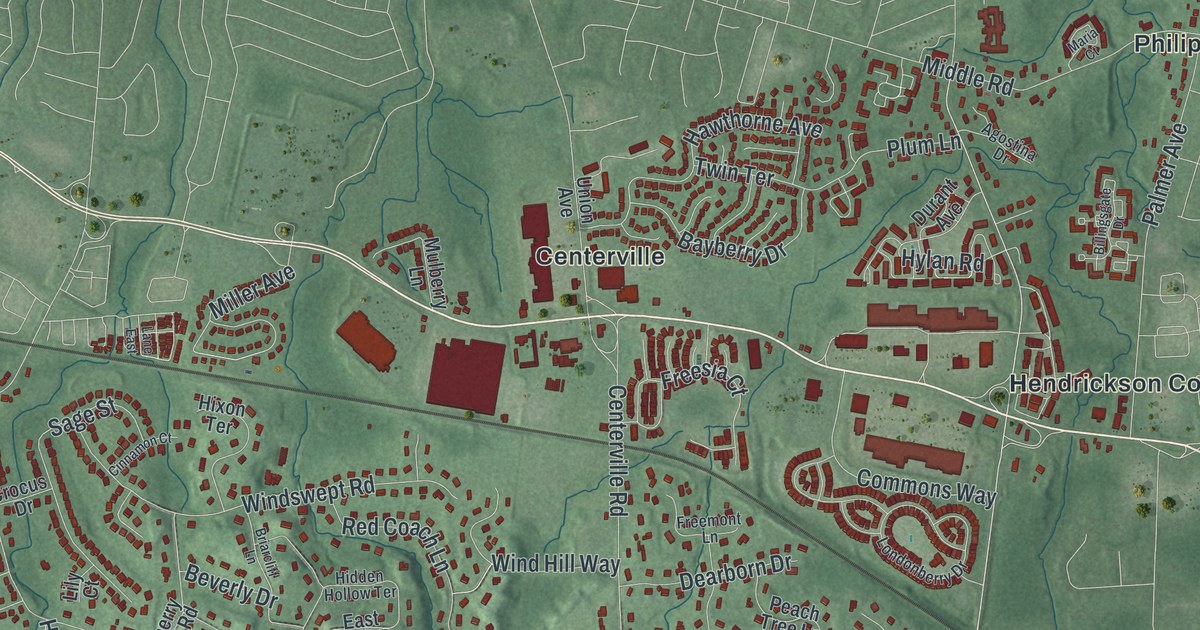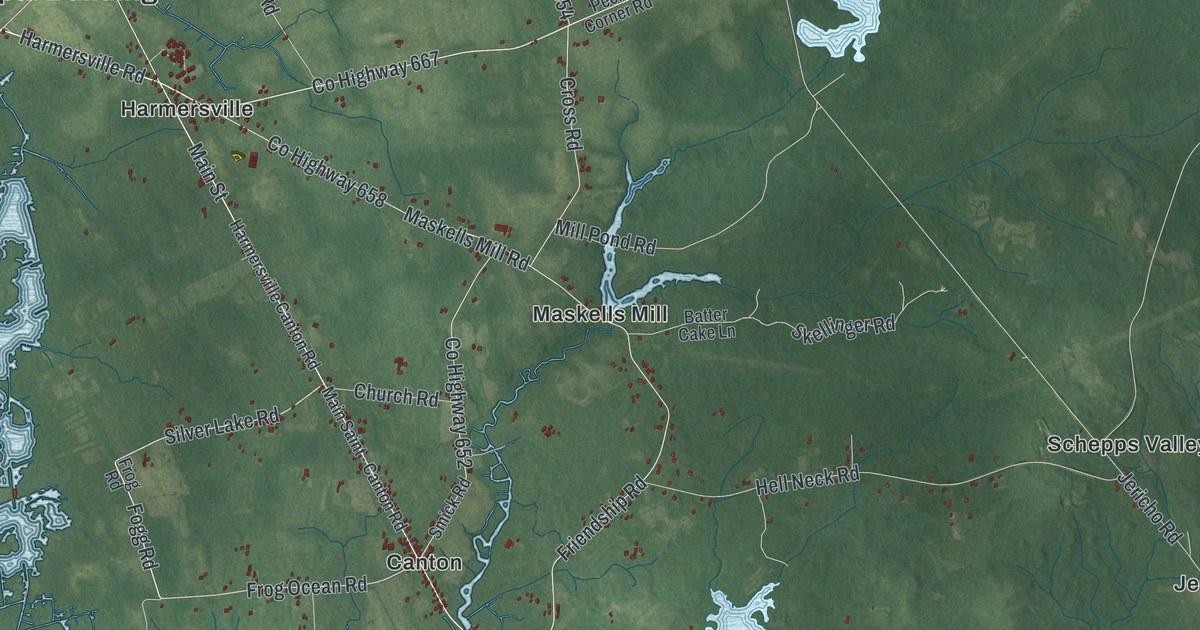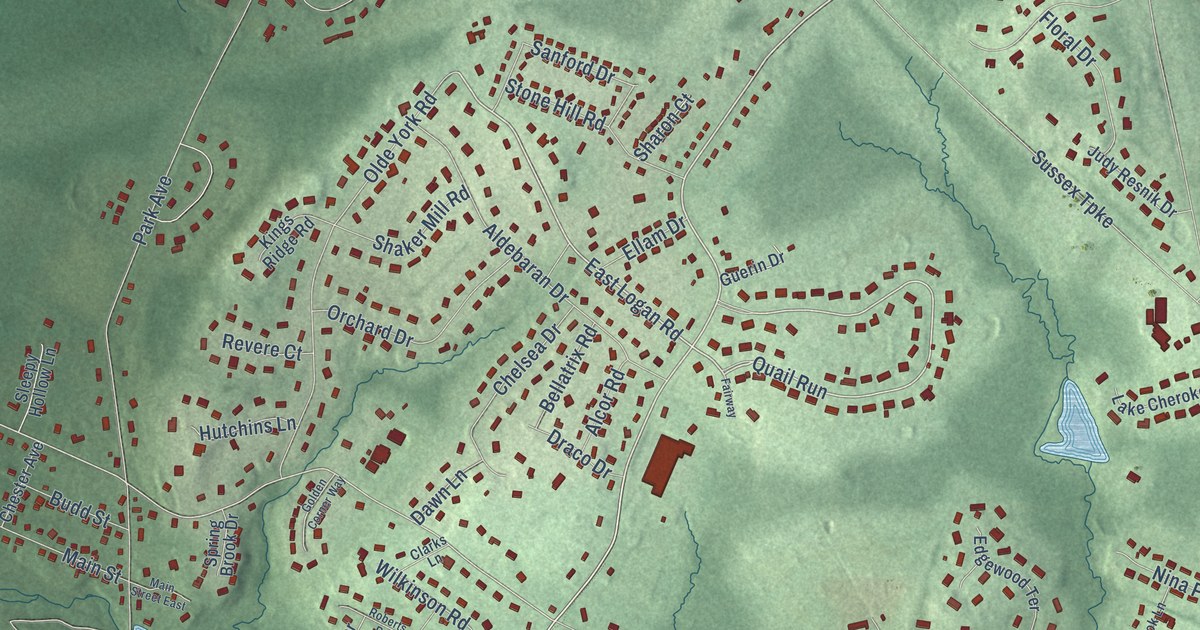
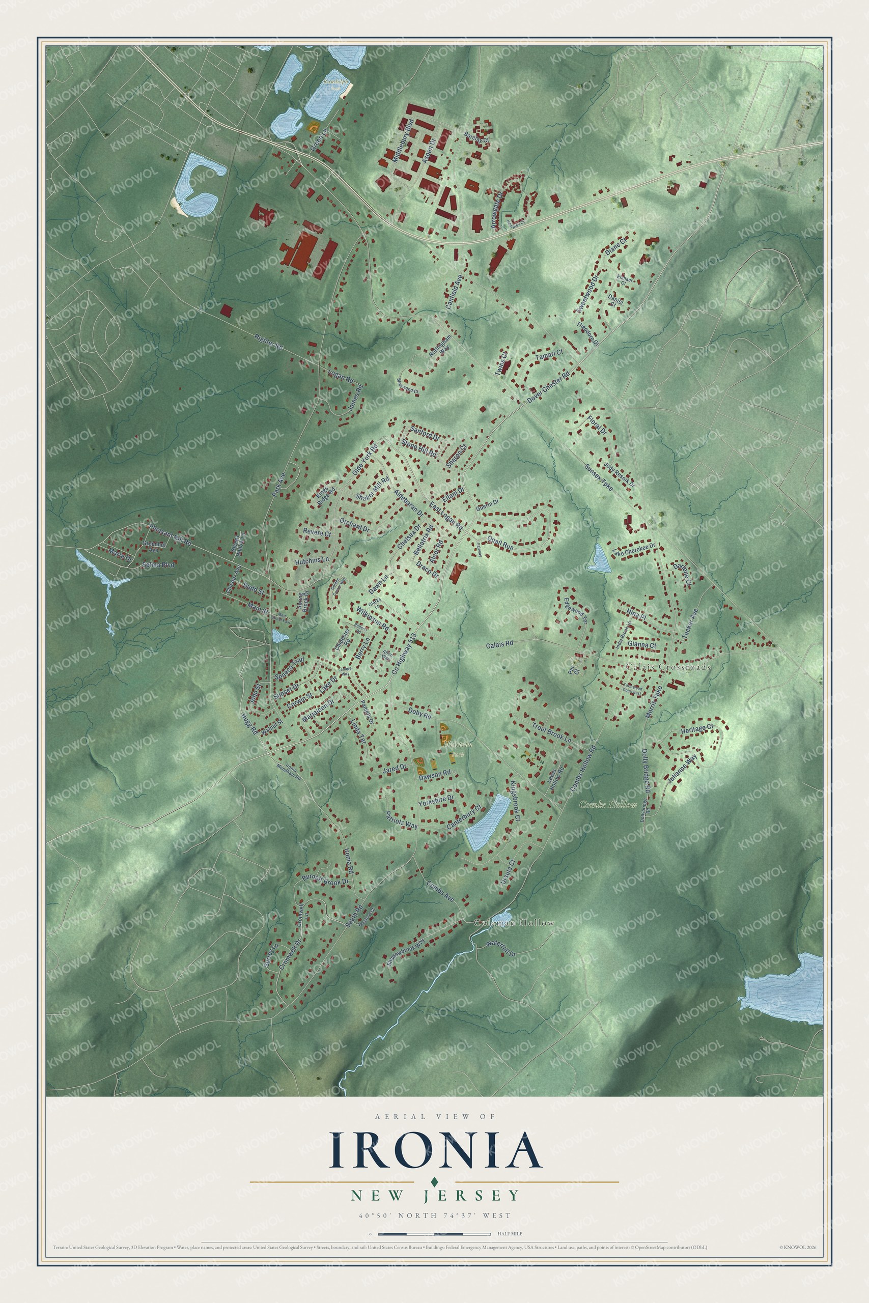
This beautifully detailed map of Ironia, New Jersey was created in 2026 using aerial imagery combined with modern topographical, census, street and landmark data. It’s a one-of-a-kind view of Ironia that combines accurate data with a vintage aesthetic. The map shows every building in its true location, many of the roads carry their names, and the shaded topographic relief shows the shape of the land.
Explore an aerial view of Ironia, New Jersey
On the map you’ll find Coleman Hollow, Calais Crossroads, Combs Hollow, Heistein Park, Randolph Park, and Quail Run, along with Sussex Turnpike, Dover Chester Road, East Logan Road, Hugg Road, County Highway 513, Pleasant Hill Road, and more. If you look closely you can even find your house accurately drawn in its correct location. Zoom in on the preview to look for yours.
Did You Know?
From Internet Archive: "Coleman was born at Ironia, Morris county, New Jersey, in 1858, and received a practical education in the public school of his native county."
Ironia is a community in Morris County.
Take a closer look at the Ironia map
Names on this map
These names are printed on this map.
Places: Coleman Hollow, Calais Crossroads, Combs Hollow, Heistein Park and Randolph Park.
Streets and roads: Sussex Turnpike, Dover Chester Road, Quail Run, East Logan Road, Hugg Road, County Highway 513, Pleasant Hill Road, Park Avenue, Morris Turnpike, South Road, Combs Hollow Road, Calais Road.
More street names, A to Z
Alcor Road, Aldebaran Drive, Allen Way, Arrowgate Drive, Aspen Drive, Barclay Court, Bellatrix Road, Berry Lane, Budd Street, Burnett Brook Drive, Canfield Avenue, Canterbury Court, Chelsea Drive, Chester Avenue, Chidester Road, Clarks Lane, Combs Avenue, Corwin Street, Cromwell Drive, Cromwell Lane, Daniel Court, Darlene Court, Dawn Lane, Dawson Road, Diane Court, Doby Road, Dolly Bridge Road, Dollybridge Road, Draco Drive, Edgewood Terrace, Ellam Drive, Elshaer Court, Fairway, Farmstead Court East, Floral Drive, Gianna Court, Golden Corner Way, Greenhut Avenue, Green Lane, Guerin Drive, Hampton Court, Heritage Court, Hutchins Lane, India Brook Lane, Ironia Mendham Road, Ironia Road, James Road, Jared Drive, John Street, Judy Resnik Drive, Julianne Way, Kingsbrook Court, Kings Ridge Road, Lake Cherokee Drive, Lake Drive, Lenape Way, Lewis Hollow Road, Linda Terrace, Logan Road, Main Street, Main Street East, Marjaleen Drive, Marre Drive, Middlebury Boulevard, Nina Place, Nottingham Way, Olde York Road, Orchard Drive, Pamela Drive, Par Court, Patriots Way, Revere Court, Righter Road, Roberts Road, Sanford Drive, Selma Boulevard, Seneca Trail, Shadowbrook Way, Shaker Mill Road, Sharon Court, Sherwood Court, Sleepy Hollow Lane, Spring Brook Drive, Stone Hill Road, Sunset Drive, Surrey Lane, Sweetwood Drive, Tamari Court, Theodore Drive, Trout Brook Lane, Tucker Avenue, Twins Court, Ursula Court, Walnut Street, Waterfall Drive, Wexford Court, Wilkinson Road, Yorkshire Drive.
See it on a wall
The Ironia map as a framed print. Swipe for more.


This beautifully detailed map of Ironia makes an attractive addition to your office, library, or den, and it can even be used to teach children the geography and history of the area. It also makes a great gift for anyone with Ironia roots. When you’re done exploring, click here to get your copy of the Ironia map.