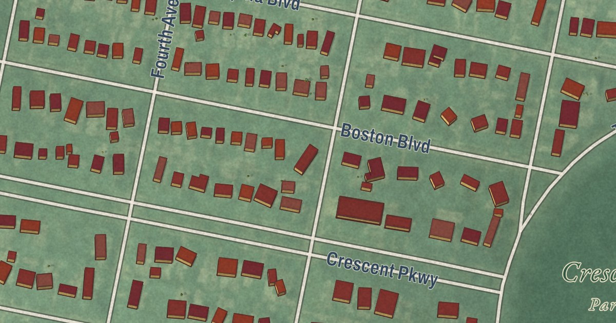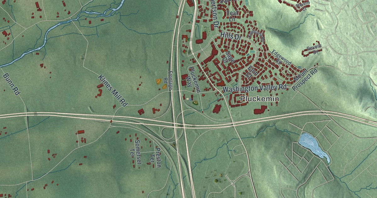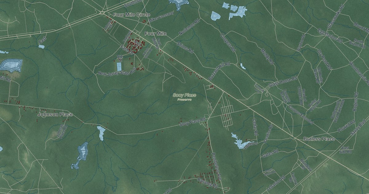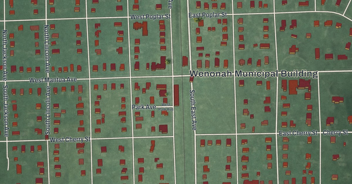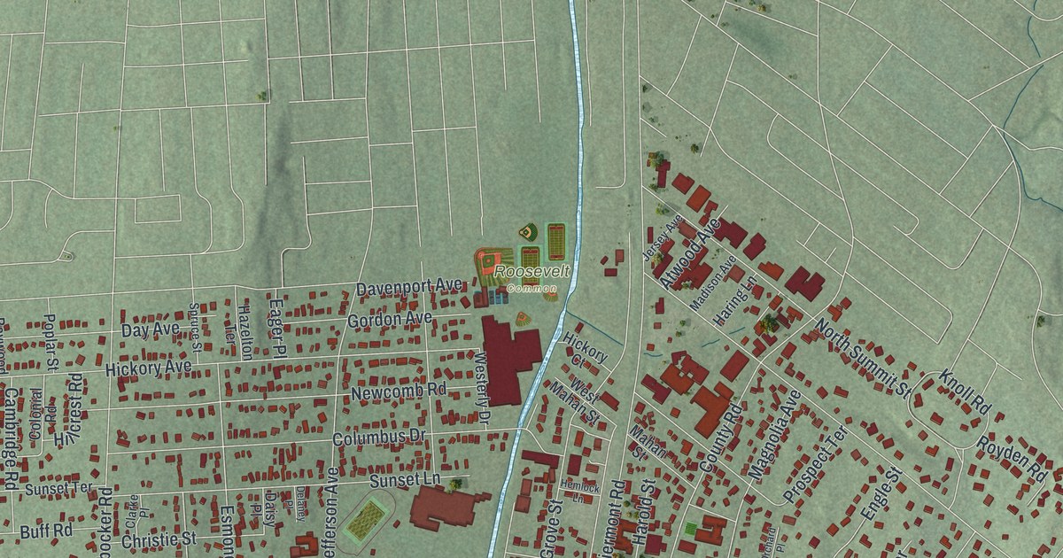
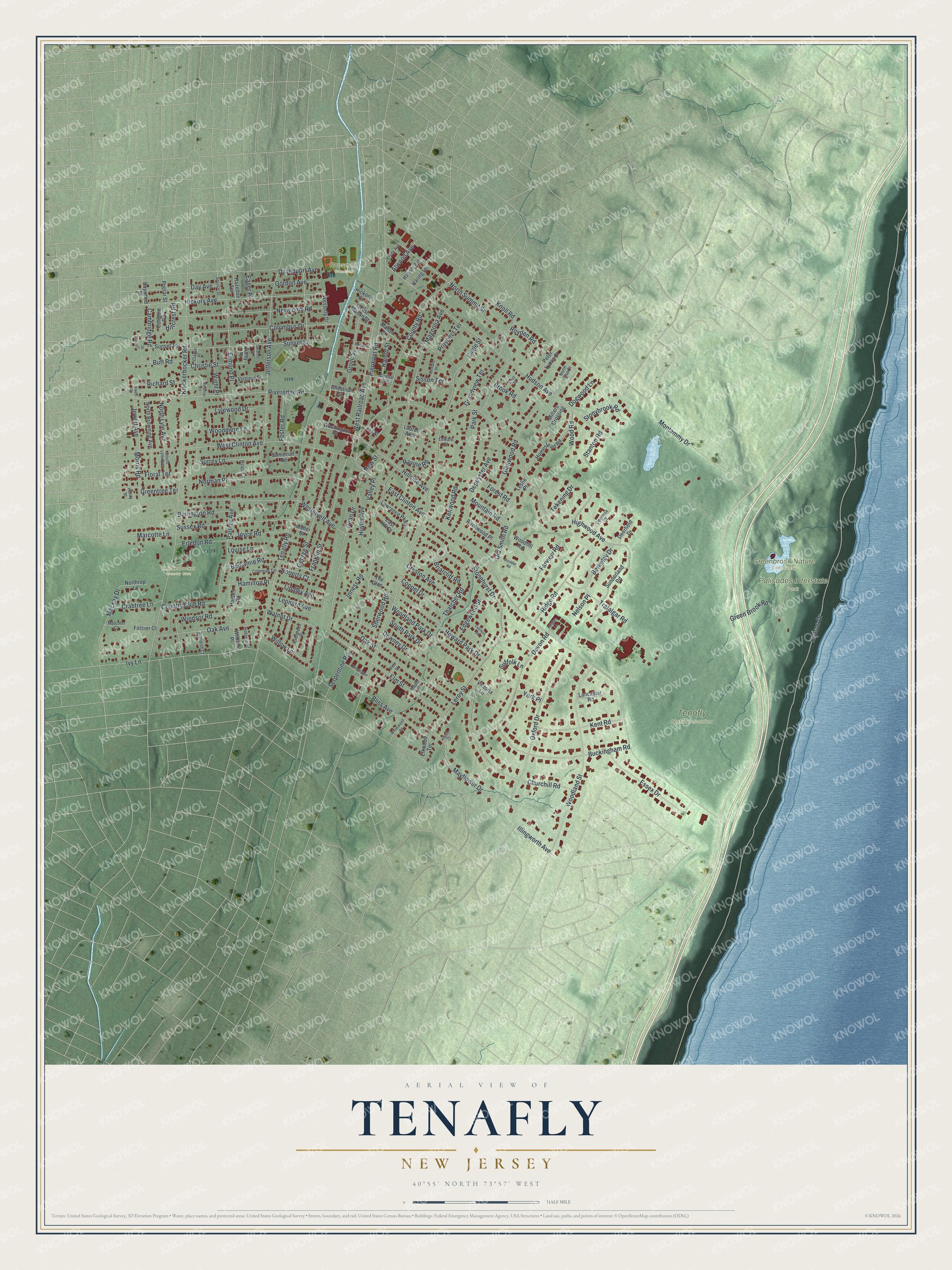
This beautifully detailed map of Tenafly, New Jersey was created in 2026 using aerial imagery combined with modern topographical, census, street and landmark data. It’s a one-of-a-kind view of Tenafly that combines accurate data with a vintage aesthetic. The map shows every building in its true location, many of the roads carry their names, and the shaded topographic relief shows the shape of the land.
Explore an aerial view of Tenafly, New Jersey
On the map you’ll find Greenbrook Nature Sanctuary, Palisades Interstate Park, and Roosevelt Common, along with Clinton Avenue, Highwood Avenue, Engle Street, Knickerbocker Road, Hudson Avenue, and more. If you look closely you can even find your house accurately drawn in its correct location. Zoom in on the preview to look for yours.
Did You Know?
Two famous women called Tenafly home. Elizabeth Cady Stanton, the feminist leader, lived here. Hetty Green, the wealthy capitalist, made Tenafly her legal residence. She did it to escape New York taxes. That’s from the 1939 WPA guide to New Jersey.
Take a closer look at the Tenafly map
Names on this map
These names are printed on this map.
Places: Greenbrook Nature Sanctuary, Knickerbocker Country Club, Palisades Interstate Park, Roosevelt Common and Tenafly Nature Center.
Streets and roads: East Clinton Avenue, Highwood Avenue, Engle Street, Knickerbocker Road, Hudson Avenue, Hudson Drive, Tenafly Road, Westervelt Avenue, Serpentine Road, Riveredge Road, Piermont Road, West Clinton Avenue.
More street names, A to Z
Atwood Avenue, Baywood Street, Benjamin Road, Berkeley Drive, Birchwood Place, Bliss Avenue, Boulder Road, Briarcliff Road, Brook Road, Buckingham Road, Buff Road, Burlington Road, Cambridge Road, Central Avenue, Chestnut Street, Christie Street, Churchill Road, Clarke Place, Coleman Terrace, Colonial Road, Columbus Drive, Coppel Drive, Country Club Road, County Road, Crabtree Lane, Creston Avenue, Cypress Street, Daisy Place, Davenport Avenue, Day Avenue, Dean Drive, Deerfield Drive, Delaney Place, Depeyster Avenue, Devon Road, Devriese Court, Dogwood Lane, Downey Drive, Eager Place, East Hill Court, Edgewood Street, Edward Court, Elkwood Terrace, Elm Street, Erledon Road, Ernst Place, Esmond Place, Essex Drive, Evergreen Place, Farview Road, Floral Terrace, Forcier Court, Forest Road, Foster Road, Franklin Street, George Street, Glenwood Road, Gordon Avenue, Grandview Terrace, Green Brook Road, Greentree Terrace, Grove Street, Hamilton Place, Haring Lane, Harold Street, Harsen Road, Hazelton Terrace, Heights Lane, Hemlock Lane, Henry Street, Hickory Avenue, Hickory Court, Hillcrest Road, Hillside Avenue, Hodskin Place, Homestead Road, Howard Park Drive, Huyler Avenue, Illingworth Avenue, Inness Road, Ivy Lane, Jay Street, Jefferson Avenue, Jersey Avenue, Jewett Avenue, Jewett Court, Joyce Road, Kensington Court, Kent Road, Kenwood Road, Knoll Road, Lancaster Road, Laurel Avenue, Lawrence Parkway, Leonard Avenue, Leroy Street, Leslie Place, Lindley Avenue, Louise Lane, Lylewood Drive, Mackay Drive, Madison Avenue, Magnolia Avenue, Mahan Street, Malcolm Court, Maple Street, Marconi Street, Marcotte Lane, Mayflower Drive, Millers Crossing, Moller Street, Montammy Drive, Morris Road, Mountain Road, Nelson Place, Newcomb Road, New Street, Norman Place, North Brae Court, North Browning Avenue, North Lyle Avenue, Northrop Lane, North Summit Street, Oak Avenue, Oak Street, Old Smith Road, Orchard Place, Oxford Drive, Palmer Avenue, Park Street, Peter Lynas Court, Pilgrim Court, Pine Street, Poplar Street, Prior Lane, Prospect Terrace, Ravine Road, Richard Street, Ridge Road, Roberts Court, Royden Road, Sherwood Road, Sisson Terrace, Somerset Road, South Lyle Avenue, South Park Drive, Spruce Street, Standish Court, Stanton Road, Stonehurst Drive, Stonybrook Road, Suffolk Lane, Sunderland Road, Sunset Lane, Sunset Terrace, Surrey Lane, Sussex Road, Tekening Drive, Thatcher Road, The Glen, Trafalgar Road, Valley Place, Victoria Lane, Virginia Street, Walnut Drive, Washington Street, Westerly Drive, West Mahan Street, West Railroad Avenue, Whitewood Road, Wight Place, Wilkins Place, Willow Lane, Windsor Road, Winthrop Court, Woodhill Road, Woodland Park Drive, Woodland Street, Woodmere Lane, Wood Road, York Place.
See it on a wall
The Tenafly map as an 18 x 24 inch print in a black frame.

This beautifully detailed map of Tenafly makes an attractive addition to your office, library, or den, and it can even be used to teach children the geography and history of the area. It also makes a great gift for anyone who grew up in Tenafly or moved away. When you’re done exploring, click here to get your copy of the Tenafly map.