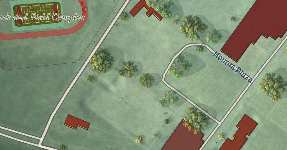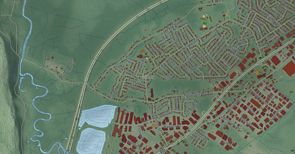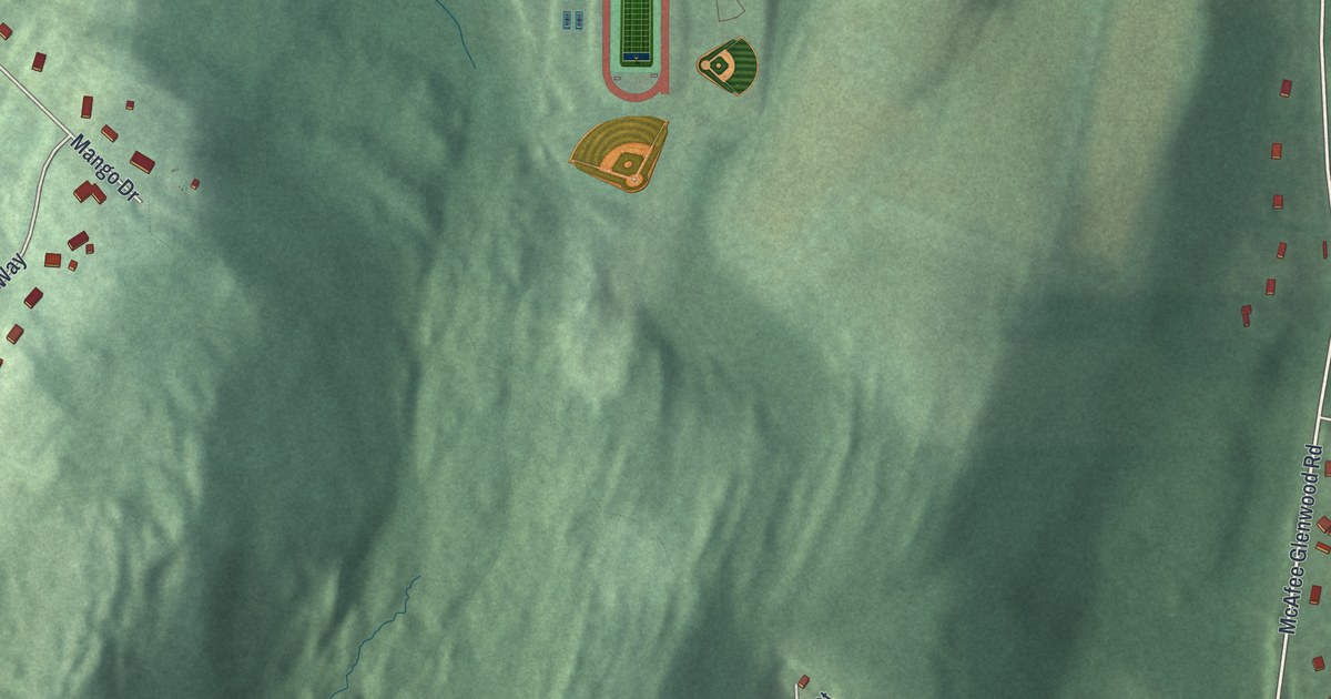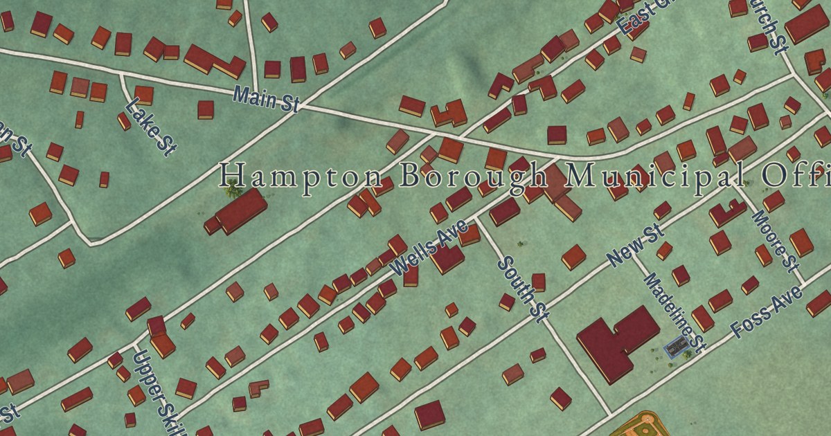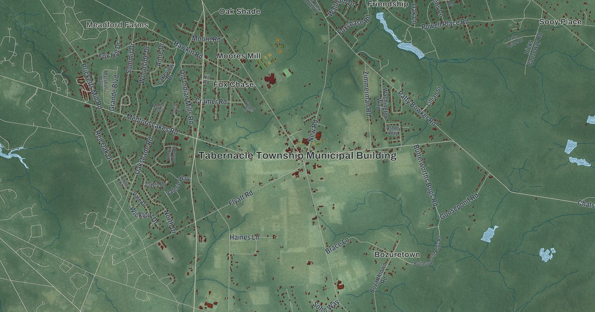
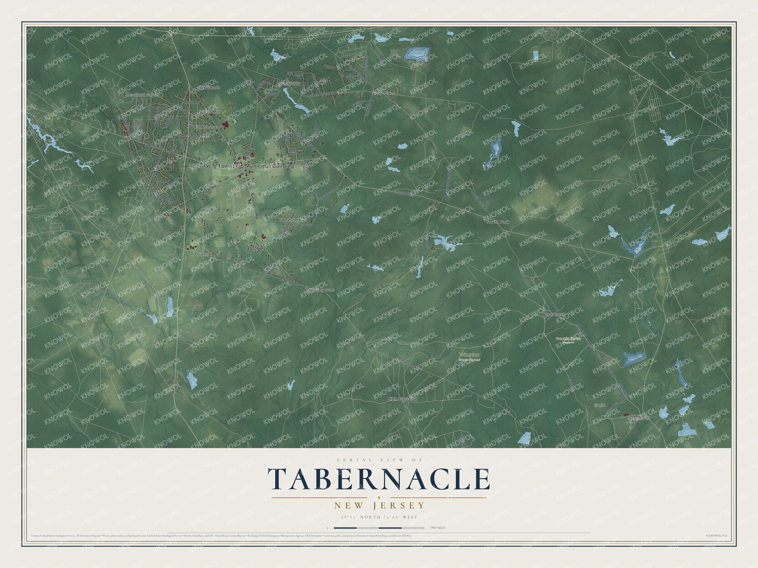
This beautifully detailed map of Tabernacle, New Jersey was created in 2026 using aerial imagery combined with modern topographical, census, street and landmark data. It’s a one-of-a-kind view of Tabernacle that combines accurate data with a vintage aesthetic. The map shows every building in its true location, many of the roads carry their names, and the shaded topographic relief shows the shape of the land.
Explore an aerial view of Tabernacle, New Jersey
On the map you’ll find Tabernacle Township Municipal Building, Speedwell, Meadford Farms, Eagle, Bozuretown, Friendship, Franklin Parker Preserve, and Wharton State Forest, along with White Horse Speedwell Road, Carranza Road, Tuckerton Road, Butterworths Bogs Road, and more. If you look closely you can even find your house accurately drawn in its correct location. Zoom in on the preview to look for yours.
Did You Know?
Emilio Carranza was known as the Lindbergh of Mexico. On July 13, 1928, his plane went down in Tabernacle during a storm on a flight from New York City to Mexico. Mexican schoolchildren paid for a memorial in his honor. Hampton Gates Road was renamed Carranza Road.
Take a closer look at the Tabernacle map
Names on this map
These names are printed on this map.
Places: Tabernacle Township Municipal Building, Speedwell, Meadford Farms, Eagle, Franklin Parker Preserve, Wharton State Forest, Bozuretown, Fox Chase, Friendship, Hampton Gate, High Crossing, Moores Mill, Oak Shade, Oriental, Pine Crest, Sooy Place, South Park and Park.
Streets and roads: White Horse Speedwell Road, Carranza Road, Tuckerton Road, Butterworths Bogs Road, Summit Drive, Chatsworth Road, Moores Meadow Road, South Park Road, Old Indian Mills Road, Medford Lakes Road, Powell Place Road, Patty Bowker Road.
More street names, A to Z
Acorn Drive, Anne Drive, Ashley Way, Avenue Road, Birches Road, Bozarthtown Road, Brace Lane, Budd Court, Buttersworth Bogs Road, Cramer Road, Cutts Drive, Eagle Road, Flyatt Road, Forest Court, Forked Neck Road, Foxchase Road, Fox Hill Drive, Gate Road, Goosepond Road, Grande Boulevard, Haines Lane, Hawkin Road, Hill Road, Holly Park Drive, Iricks Causeway Road, Lake Agape Drive, Lakeview Drive, Lillian Street, Log Road, Marshall Way, Mile Run Jakes Spung Road, Moore Road, Mount Sandy Ridge Road, New Road, North Drive, Nyoda Trail, Oak Lane, Oakshade Road, Pebble Drive, Peggys Lane, Powell Road, Pricketts Mill Road, Red Oak Drive, Sleepy Hollow Drive, Sohn Way, Sooy Place Road, Speedwell Place Road, Speedwell Road, Stevens Lane, Vale Drive, Valerie Way, Waltham Drive, Washington Way, West Patty Bowker Road, White Horse, Wicklow Drive, Woodside Drive, Worrell Road, Yates Lane, Zimmerman Road.
See it on a wall
The Tabernacle map as an 18 x 24 inch print in a black frame.

This beautifully detailed map of Tabernacle makes an attractive addition to your office, library, or den, and it can even be used to teach children the geography and history of the area. It also makes a great gift for anyone with Tabernacle roots. When you’re done exploring, click here to get your copy of the Tabernacle map.