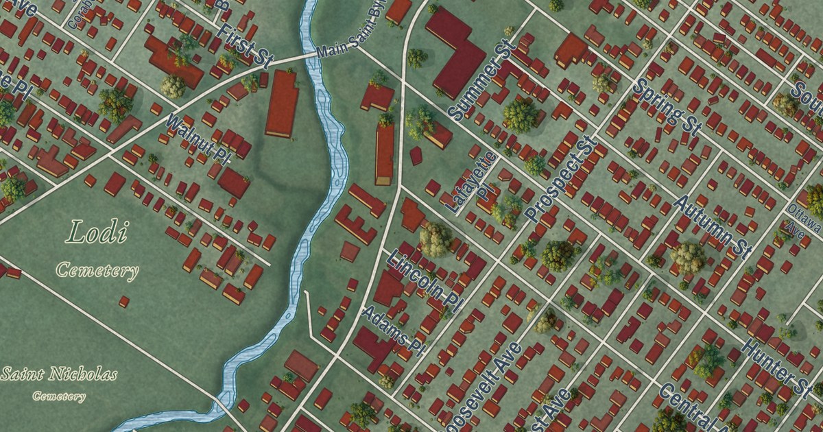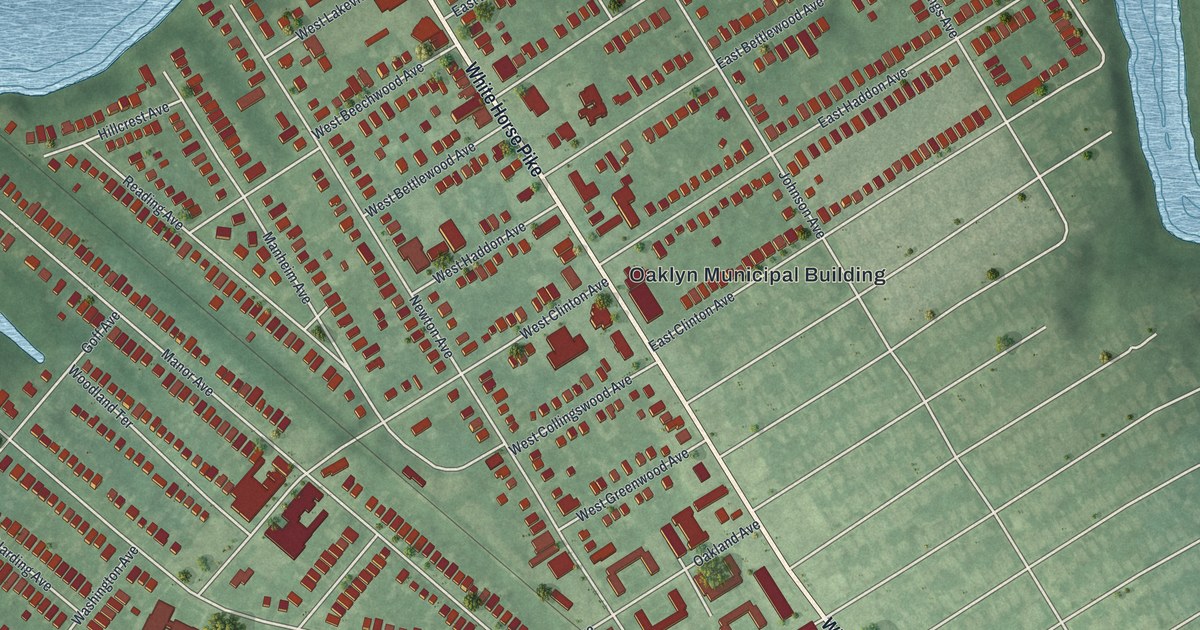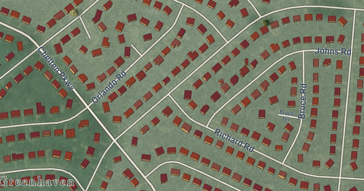
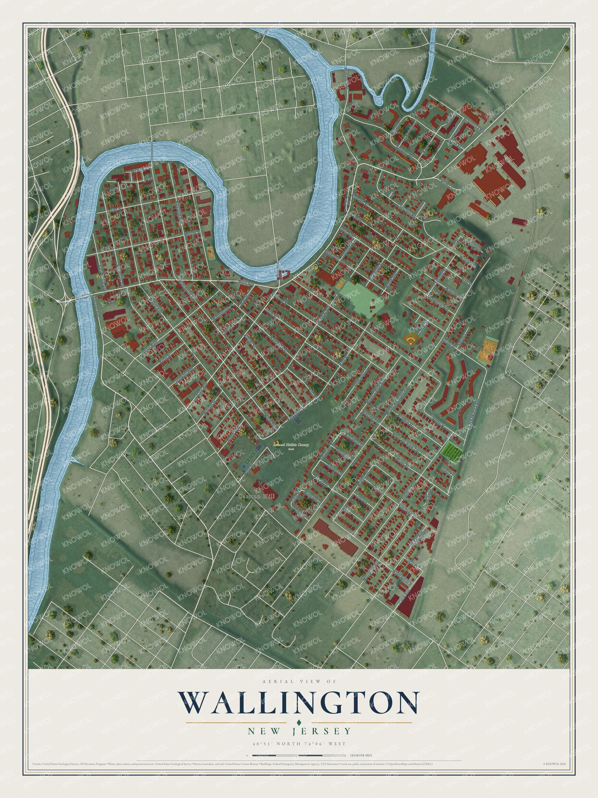
This beautifully detailed map of Wallington, New Jersey was created in 2026 using aerial imagery combined with modern topographical, census, street and landmark data. It’s a one-of-a-kind view of Wallington that combines accurate data with a vintage aesthetic. The map shows every building in its true location, many of the roads carry their names, and the shaded topographic relief shows the shape of the land.
Explore an aerial view of Wallington, New Jersey
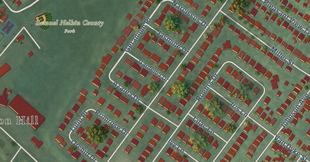
On the map you’ll find Geranium Place, Carlton Hill, and Samuel Nelkin County Park, along with Main Avenue, Parkview Drive, Locust Avenue, Curie Avenue, and more. If you look closely you can even find your house accurately drawn in its correct location. Zoom in on the preview to look for yours.
Did You Know?
Wallington was born in the Boroughitis craze that swept New Jersey in the 1890s. Bergen County alone formed 26 new boroughs by referendum in 1894. Wallington was the last of them, after a vote on December 31, 1894. It became a borough two days later, on January 2, 1895.
Take a closer look at the Wallington map
Names on this map
These names are printed on this map.
Places: Samuel Nelkin County Park and Carlton Hill.
Streets and roads: Main Avenue, Parkview Drive, Geranium Place, Locust Avenue, Curie Avenue, Tulip Place, Paterson Avenue, Mount Pleasant Avenue, Maple Avenue, Wallington Avenue, Hayward Place, Hathaway Street.
More street names, A to Z
Adamson Street, Alden Street, Al Ventura Road, Anderson Avenue, Ann Court, Armm Avenue, Azalea Drive, Baur Court, Blue Ridge Court, Blum Street, Bond Street, Brook Avenue, Cedar Street, Chestnut Street, Crescent Road, Dankoff Avenue, Doris Lane, Eighth Street, Elizabeth Place, First Street, Fradkin Street, Franklin Avenue, Gardenia Drive, Halstead Avenue, Hillside Terrace, Iris Lane, Ivy Lane, Jacob Street, Jarico Drive, Jasmine Drive, Johnson Avenue, Jordan Avenue, King Street, Kossuth Street, Koster Street, Krug Court, Lackawanna Avenue, Lester Street, Lexington Avenue, Lilac Lane, Lincoln Place, Lucia Place, Maine Avenue, May Street, Mercer Street, Michael Lane, Midland Avenue, Miller Street, Morrissee Avenue, Mount Cedar Avenue, Narcissus Drive, Nelkin Drive, Nolan Court, Orchard Street, Orchid Drive, Park Row, Parkway, Pine Street, Pleasant View Terrace, Primrose Drive, Pulaski Avenue, Reservoir Avenue, Roehrs Drive, Rose Street, Ross Road, Spring Court, Spring Street, Stein Avenue, Stevens Road, Strong Street, Turs Court, Tuttle Street, Union Boulevard, Van Dyke Street, Van Kruinigen Court, Van Winkle Avenue, Veterans Court, Wadsworth Street, Wagner Avenue, Washington Place, William Street, Willow Avenue.
See it on a wall
The Wallington map as an 18 x 24 inch print in a black frame.

This beautifully detailed map of Wallington makes an attractive addition to your office, library, or den, and it can even be used to teach children the geography and history of the area. It also makes a great gift for someone who left Wallington and still calls it home. When you’re done exploring, click here to get your copy of the Wallington map.