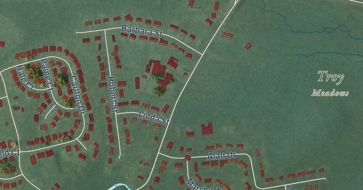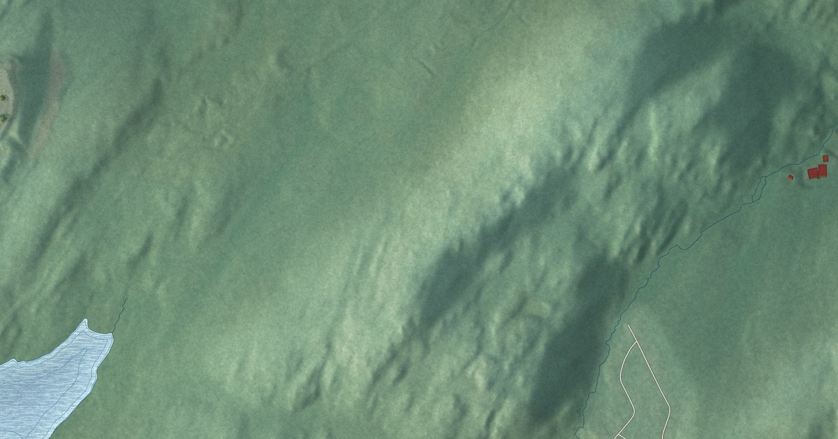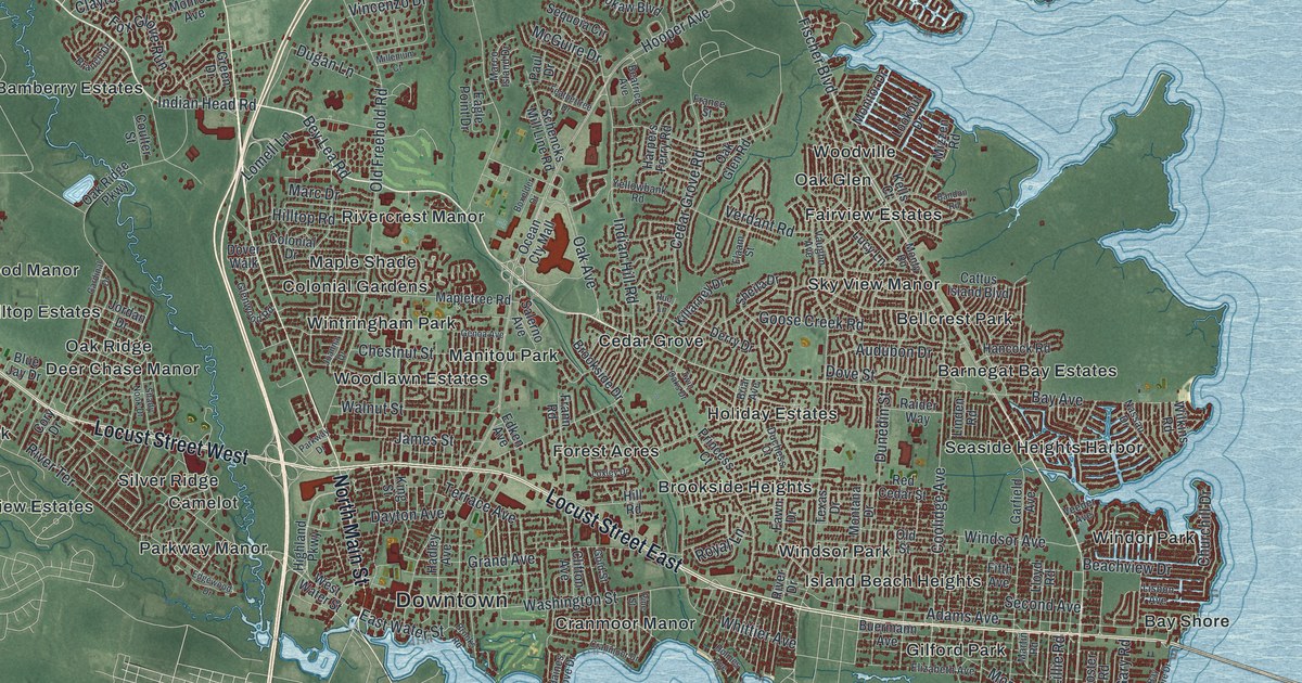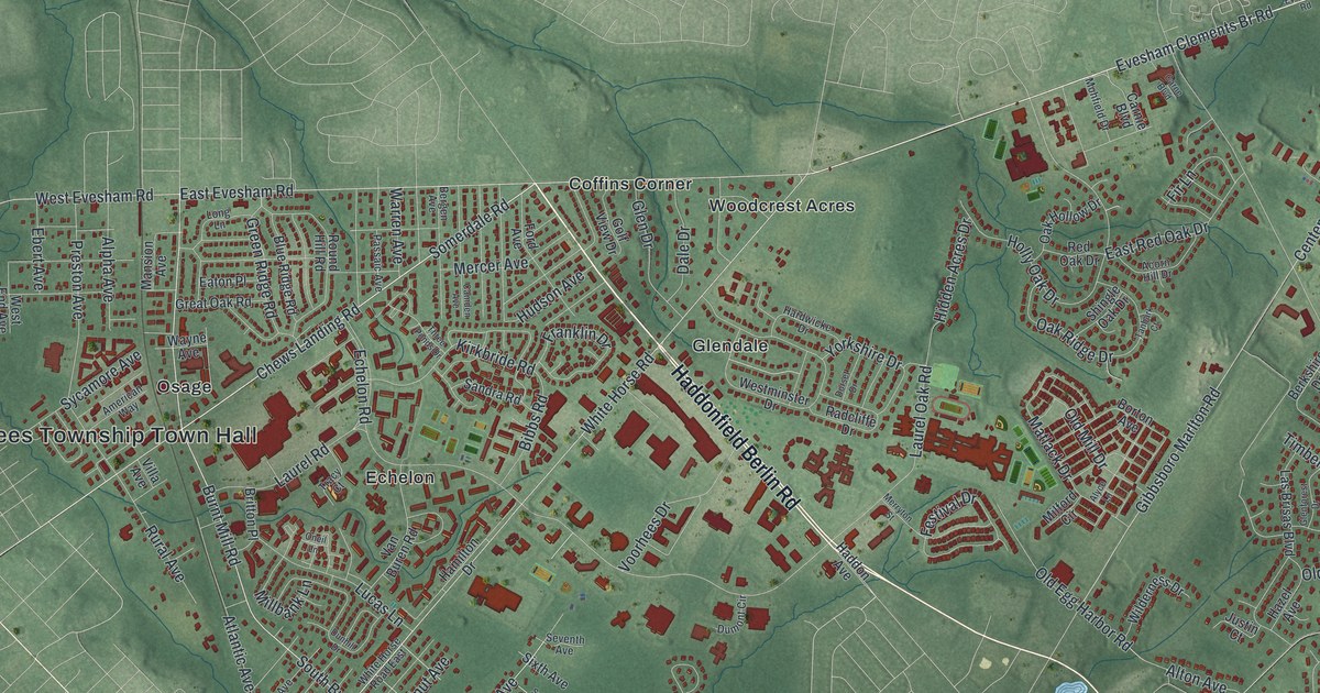
This beautifully detailed map of Voorhees, New Jersey was created in 2026 using aerial imagery combined with modern topographical, census, street and landmark data. It’s a one-of-a-kind view of Voorhees that combines accurate data with a vintage aesthetic. The map shows every building in its true location, many of the roads carry their names, and the shaded topographic relief shows the shape of the land.
Explore an aerial view of Voorhees, New Jersey
On the map you’ll find Voorhees Township Town Hall, Alluvium, Coffins Corner, Echelon, Glendale, and Haines Corner, along with Haddonfield Berlin Road, Berlin Kresson Road, Evesham Road, Evesham Clements Br Road, and more. If you look closely you can even find your house accurately drawn in its correct location. Zoom in on the preview to look for yours.
Take a closer look at the Voorhees map
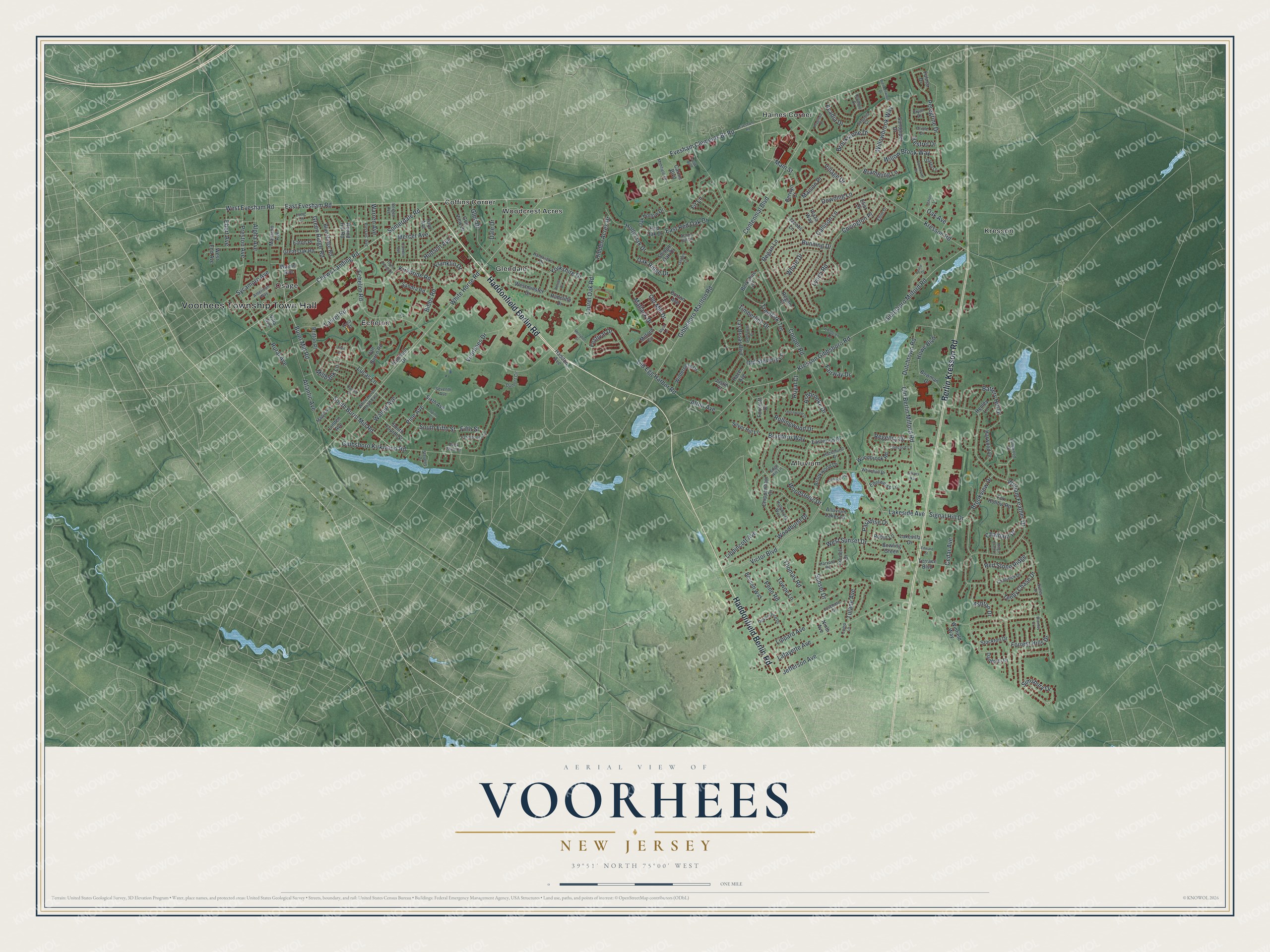
Names on this map
These names are printed on this map.
Places: Voorhees Township Town Hall, Alluvium, Coffins Corner, Echelon, Glendale, Haines Corner, Kresson, Osage and Woodcrest Acres.
Streets and roads: Haddonfield Berlin Road, Berlin Kresson Road, East Evesham Road, Evesham Clements Br Road, White Horse Road, South Burnt Mill Road, Chews Landing Road, Somerdale Road, Pine Avenue, West Evesham Road, Main Street, West Sunset Drive.
More street names, A to Z
Acadia Drive, Acorn Hill Drive, Alluvium Lakes Drive, Alpha Avenue, Alton Avenue, Alyce Lane, American Way, Ashbrooke Drive, Ashton Drive, Atlantic Avenue, Battery Hill Drive, Bennett Way, Bergen Avenue, Berkshire Drive, Berwyn Court, Bibbs Road, Blue Ridge Road, Borton Avenue, Bowling Green, Bowman Drive, Bradford Way, Brambling Lane, Brendenwood Drive, Britton Place, Bromley Court, Brookstone Drive, Brookview Drive, Brookwood Drive, Bryan Drive, Bunning Drive, Burnt Mill Road, Callison Lane, Camden Avenue, Carne Boulevard, Carnie Boulevard, Cedar Avenue, Centennial Boulevard, Chadwick Drive, Champlain Drive, Chatham Drive, Chippenham Drive, Comp Lane, Concord Lane, Cooper Road, Cormorant Drive, Cornell Drive, Covington Place, Dale Drive, Danforth Drive, Devonshire Drive, Dorset Drive, Downing Lane, Duck Pond Court, Dumont Circle, Dunhill Drive, Dutchtown Road, East Red Oak Drive, Eastwood Drive, Eaton Place, Ebert Avenue, Echelon Road, Edelweiss Lane, Edge Hill Lane, Edward Street, Eliot Drive, Elliot Drive, Evesham Road, Fairway Drive, Farmhouse Lane, Festival Drive, Fifth Street, Fir Lane, Ford Avenue, Forrest Hills Drive, Foxcroft Court, Fox Hollow Road, Franklin Drive, Fulmar Drive, Gibbsboro Kirkwood Road, Gibbsboro Marlton Road, Gibbsboro Milford Road, Glen Drive, Glenforest Drive, Golf View Drive, Great Oak Road, Green Ridge Road, Haddon Avenue, Hamilton Drive, Hardwicke Drive, Harvard Road, Harwood Drive, Hazel Avenue, Hazelhurst Drive, Henley Lane, Hidden Acres Drive, Hollybrook Way, Holly Oak Drive, Howe Boulevard, Hudson Avenue, Jacobs Lane, Jefferson Avenue, Jillians Way, Juschase Court, Justin Court, Kestrel Drive, Kings Croft Lane, Kirkbride Road, Kresson Gibbsboro Road, Kresson Road, Lafayette Avenue, Lakeside Avenue, Lakevilla Drive, Las Brisas Boulevard, Laurel Oak Road, Laurel Road, Laurie Drive, Linden Avenue, Lippard Avenue, Lippincott Avenue, Long Lane, Lucas Lane, Lynch Road, Maison Place, Mansion Avenue, Maple Avenue, Matlack Drive, Mercer Avenue, Merryton Street, Milford Circle, Millbank Lane, Mohfield Drive, Ninth Avenue, Oak Avenue, Oak Hollow Drive, Oak Ridge Drive, Old Berlin Milford Road, Old Egg Harbor Road, Old Mill Drive, Old Stevens Lane, Olympic Drive, Oneil Lane, Oriole Drive, Osprey Lane, Paradise Drive, Passaic Avenue, Penn Road, Peregrine Drive, Plaza Way, Preston Avenue, Progress Place, Radcliffe Drive, Red Oak Drive, Red Stone Ridge, Regan Court, Regan Lane, Regency Drive, Robin Lane, Rollingwood Drive, Round Hill Road, Royal Court, Rural Avenue, Sandpiper Drive, Sandra Road, School Lane, Sequoia Court, Seventh Avenue, Shingle Oak Drive, Signal Hill Drive, Silver Hill Lane, Simsbury Drive, Sixth Avenue, South Fifth Street, South Fourth Street, Spino Court, Stevens Drive, Stockton Drive, Sunset Drive, Sutley Drive, Sycamore Avenue, Tallowood Drive, Tanbark Court, Tenby Chase Drive, Terrace Boulevard, Thomas Road, Thornwood Drive, Three Ponds Drive, Timberline Drive, Towne Lane, Tracy Court, Treebark Terrace, Tulane Avenue, Van Buren Road, Victor Boulevard, Villa Avenue, Village Drive, Voorhees Drive, Walnut Avenue, Warren Avenue, Wayne Avenue, West End Avenue, Westminster Drive, Whitehall Drive, White Horse Road East, Whyte Drive, Wilderness Drive, William Feather Drive, Willowbrook Way, Willow Brook Way, Winfield Way, Woodbrook Road, Woodglen Lane, Woodhurst Drive, Woodstone Drive, Yorkshire Drive.
See it on a wall
The Voorhees map as an 18 x 24 inch print in a black frame.

This beautifully detailed map of Voorhees makes an attractive addition to your office, library, or den, and it can even be used to teach children the geography and history of the area. It also makes a great gift for anyone with Voorhees roots. When you’re done exploring, click here to get your copy of the Voorhees map.