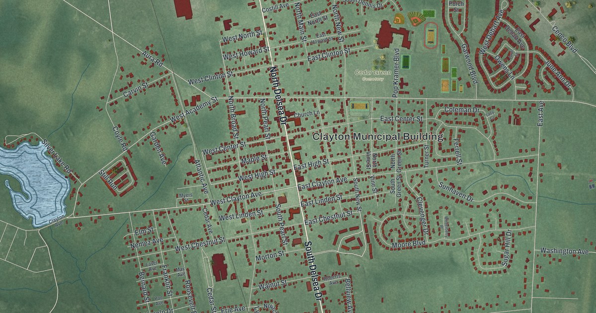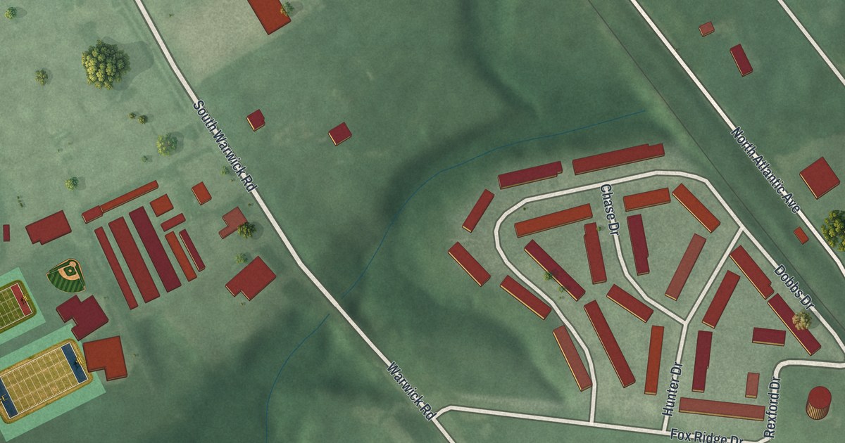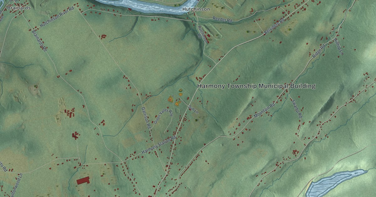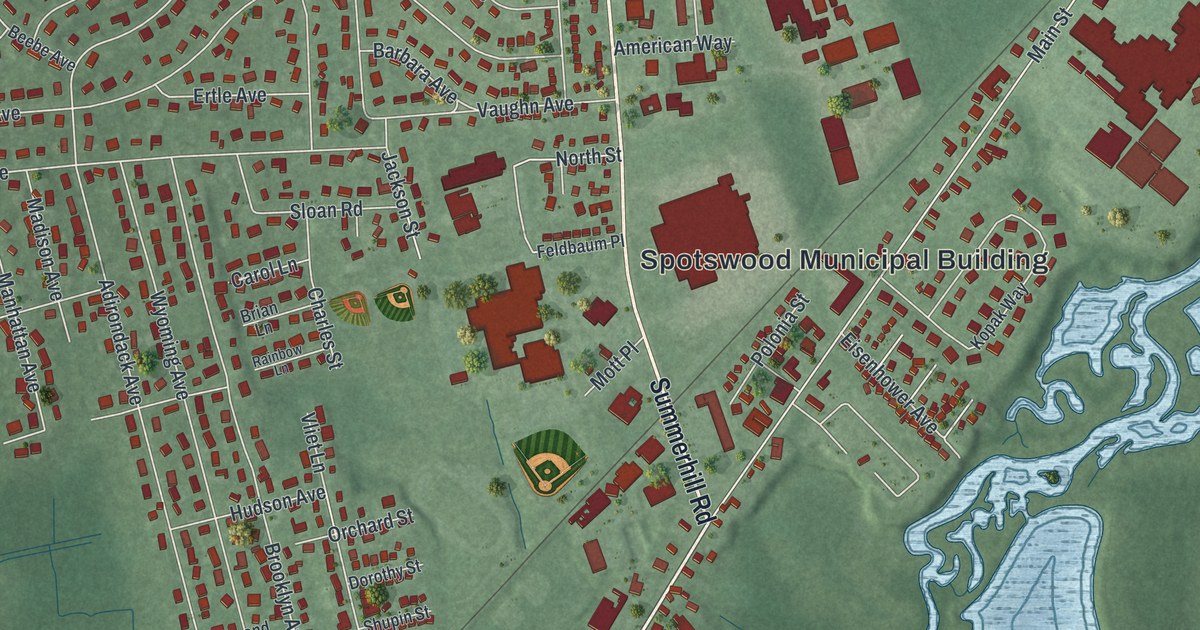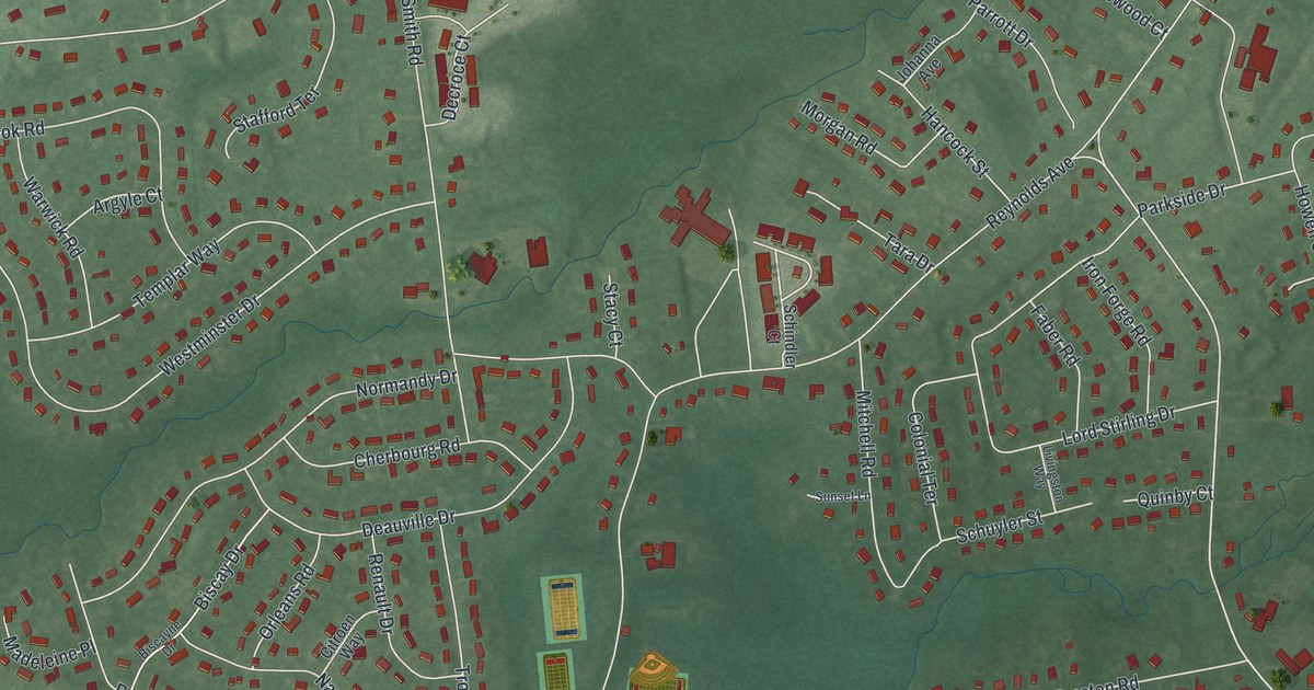
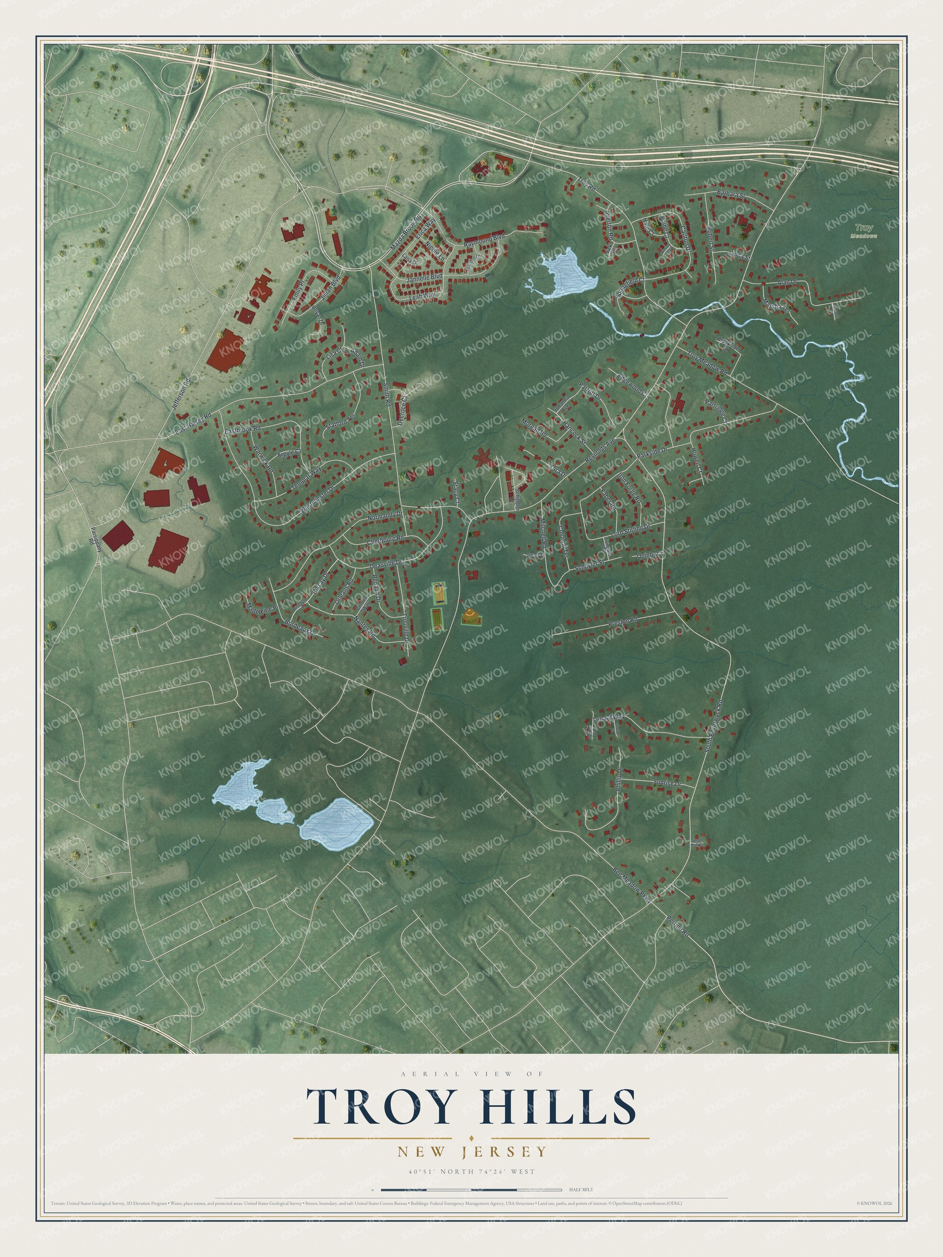
Troy Hills is a community of 5,081 in Morris County, New Jersey. This beautifully detailed map of Troy Hills, New Jersey was created in 2026 using aerial imagery combined with modern topographical, census, street and landmark data. It's a modern aerial view of Troy Hills in Morris County, New Jersey, that combines modern data with a vintage aesthetic. The roads feature printed names, and if you look closely you can find your exact house accurately shown in its correct location.
Explore an aerial view of Troy Hills, New Jersey
On this map you'll find Troy Meadows, Smith Road, Mazda Brook Road, Allerton Road, South Beverwyck Road, Jefferson Road, Reynolds Avenue, Troy Road, Westminster Drive, East Halsey Road, Lord Stirling Drive, Troy Meadow Road, and more. Each red shape is a building, so zoom in on the preview and look for yours.
Troy Hills has a story worth telling. Benjamin Howell, one of the most prominent early settlers of the Parsippany-Troy Hills area, bought his farm from Gershom Mott and soon built a farmhouse there. In the winter of 1779 to 1780, while Washington was encamped at Morristown, the Howell farmstead was an important site for his military conferences. Howell served on the Hanover Township Committee of Correspondence in 1775 and was an elder of the Parsippany Presbyterian Church. That's from the National Register of Historic Places.
Troy Hills is a community in Morris County. The Census Bureau counted 5,081 people here in 2020. The map prints the town name in its title panel, with the coordinates below it.
Take a closer look at the Troy Hills map
Names on this map
These names are printed on this map.
Places: Troy Meadows.
Streets and roads: Smith Road, Mazda Brook Road, Allerton Road, South Beverwyck Road, Jefferson Road, Reynolds Avenue, Troy Road, Westminster Drive, East Halsey Road, Lord Stirling Drive, Troy Meadow Road, Deauville Drive.
More street names, A to Z
Adam Drive, Alan Drive, Amory Court, Argyle Court, Barbara Street, Bee Meadow Parkway, Bennett Court, Biscay Drive, Biscayne Drive, Bordeaux Drive, Brandyn Lane, Brookside Court, Carlton Drive, Cherbourg Road, Citroen Way, Colonial Terrace, Decroce Court, Eastbrook Road, Edgewood Court, Emily Place, Erica Way, Faber Road, Gloede Court, Hale Court, Hancock Street, Howell Court, Iron Forge Road, Jannelle Boulevard, Jillian Boulevard, Johanna Avenue, Lana Drive, Leah Way, Lenard Way, Linda Street, Lisa Court, Livingston Way, Madeleine Place, Marsha Terrace, Mitchell Road, Morgan Road, Nantes Road, Nicki Court, Nicole Lane, Normandy Drive, Orleans Road, Paine Court, Parkside Drive, Parrott Drive, Parsippany Road, Partridge Court, Perrine Road, Phillip Drive, Preston Road, Quinby Court, Raymound Boulevard, Renault Drive, Rhyan Drive, Robert Street, Schindler Court, Schuyler Street, South Hall Court, Springfield Court, Stacy Court, Stafford Terrace, Sunrise Drive, Sunset Lane, Syldeo Drive, Tara Drive, Templar Way, Trouville Drive, Warwick Road.
See it on a wall
The Troy Hills map as a framed print. Swipe for more.


Created by KNOWOL in 2026. The buildings are small red shapes, the roads carry their printed names, and shaded relief shows the shape of the land. The title panel reads "AERIAL VIEW OF TROY HILLS, NEW JERSEY" with 40°51' NORTH 74°24' WEST.
It looks right in a kitchen, an office or a den, and it's a gift for anyone who grew up in Troy Hills or moved away. Open the preview and find your street. See sizes and frames for the Troy Hills map.