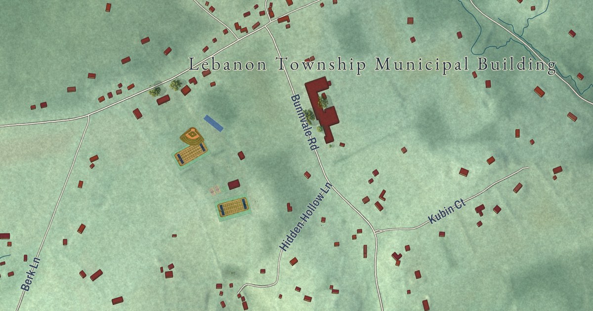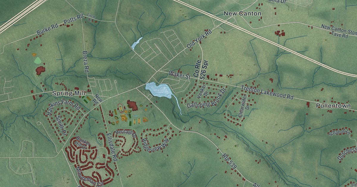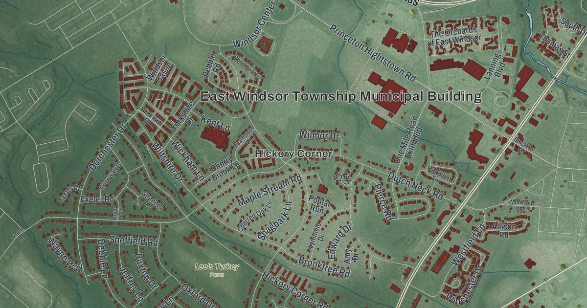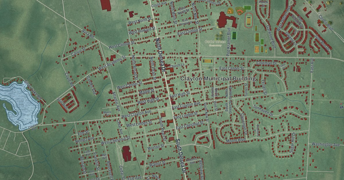
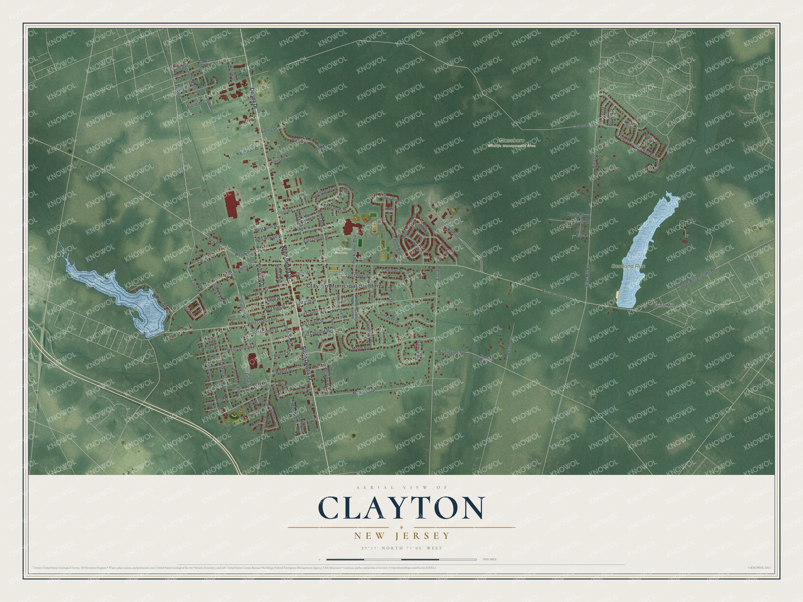
This beautifully detailed map of Clayton, New Jersey was created in 2026 using aerial imagery combined with modern topographical, census, street and landmark data. It’s a one-of-a-kind view of Clayton that combines accurate data with a vintage aesthetic. The map shows every building in its true location, many of the roads carry their names, and the shaded topographic relief shows the shape of the land.
Explore an aerial view of Clayton, New Jersey
On the map you’ll find Clayton Municipal Building, Cedar Green Cemetery, Glassboro Wildlife Management Area, Scotland Run Park, and Fries Mill, along with North Delsea Drive, South Delsea Drive, Delsea Drive, West Clayton Avenue, East Chestnut Street, West Center Street, North Broad Street, and more. If you look closely you can even find your house accurately drawn in its correct location. Zoom in on the preview to look for yours.
Did You Know?
After the Revolutionary War, Jacob Fisler bought 6,500 acres of land in what is now Clayton. A settlement called Fislertown grew up there and had 36 families by 1812. In the 1850s, one of Fisler’s descendants opened a glass factory, which helped the village grow.
Take a closer look at the Clayton map
Names on this map
These names are printed on this map.
Places: Clayton Municipal Building, Cedar Green Cemetery, Glassboro Wildlife Management Area, Scotland Run Park and Fries Mill.
Streets and roads: North Delsea Drive, South Delsea Drive, Delsea Drive, West Clayton Avenue, East Chestnut Street, West Center Street, North Broad Street, West High Street, West Howard Street, Carpenter Avenue, East Academy Street, Fries Mill Road.
More street names, A to Z
Addison Street, Atlantic Avenue, Aura Road, Bacon Street, Beckett Street, Bellview Avenue, Bernard Street, Brown Lane, Buckboard Lane, Carvin Street, Cedar Avenue, Cedar Street, Cenco Boulevard, Church Lane, Clayton Avenue, Clayton Williamstown Road, Clevenger Drive, Coleman Drive, Costill Avenue, Coyle Road, Dennis Drive, Deschler Boulevard, Dilks Street, Downs Street, Dubois Avenue, Earl Avenue, East Avenue, East Boulevard, East Center Street, East Clayton Avenue, East Clinton Street, East Dehart Avenue, East High Street, East Howard Street, East Linden Street, East North Street, East Washington Avenue, Elm Street, Erie Avenue, Euclid Avenue, Ferrell Street, Filbert Street, Fisler Drive, Franklin Street, Garden Avenue, Garwood Boulevard, Groff Street, Hagelstein Drive, Hands Road, Hickory Lane, Hillside Avenue, Hill Street, Hogate Court, Holly Road, Jackson Avenue, James Place, Jay Avenue, Jerrys Avenue, June Ann Drive, Kaiser Lane, Kille Road, Kindle Court, Lacy Court, Laver Avenue, Lincoln Drive, Louis Drive, Lynne Drive, Madison Avenue, Maple Street, May Avenue, Moore Boulevard, Morgan Drive, Morrow Avenue, Morton Street, Myers Street, Nemez Avenue, North Dennis Drive, North Green Street, North Main Street, North New Street, North Pearl Street, North Vine Street, Novack Drive, Oak Road, Owens Lane, Pine Avenue, Pine Street, Poe Avenue, Pop Kramer Boulevard, Porch Street, Roberts Avenue, Roosevelt Boulevard, Route 655, Rubin Street, Seventh Avenue, Sienna Drive, Silver Lake Road, Sixth Avenue, South Broad Street, South Dennis Drive, South Green Street, South Mallard Street, South New Street, South Pearl Street, Stanger Court, Still Run, Sugar Hill Drive, Sunhaven Drive, Turner Street, Vine Street, Walnut Street, Washington Avenue, West Academy Street, West Chestnut Street, West Clinton Street, West Dehart Avenue, West Linden Street, West North Street, Willow Street, Wilson Avenue, Winterberry Place.
See it on a wall
The Clayton map as an 18 x 24 inch print in a black frame.

This beautifully detailed map of Clayton makes an attractive addition to your office, library, or den, and it can even be used to teach children the geography and history of the area. It also makes a great gift for anyone who grew up in Clayton or moved away. When you’re done exploring, click here to get your copy of the Clayton map.