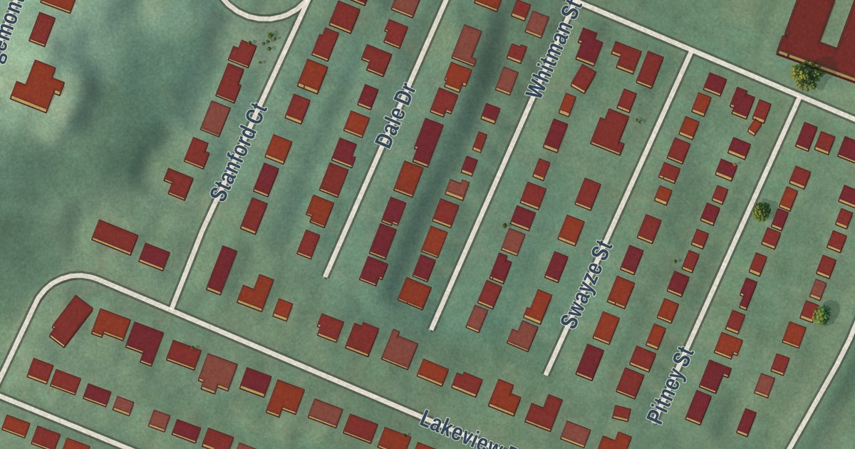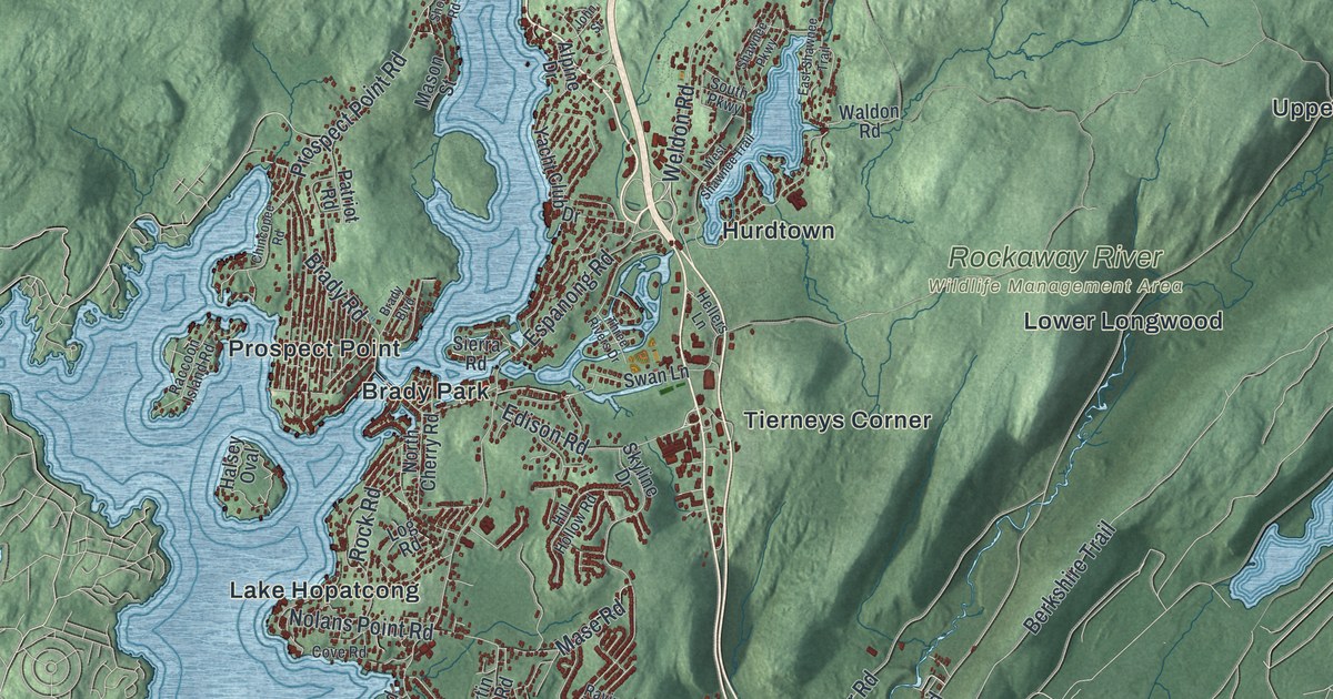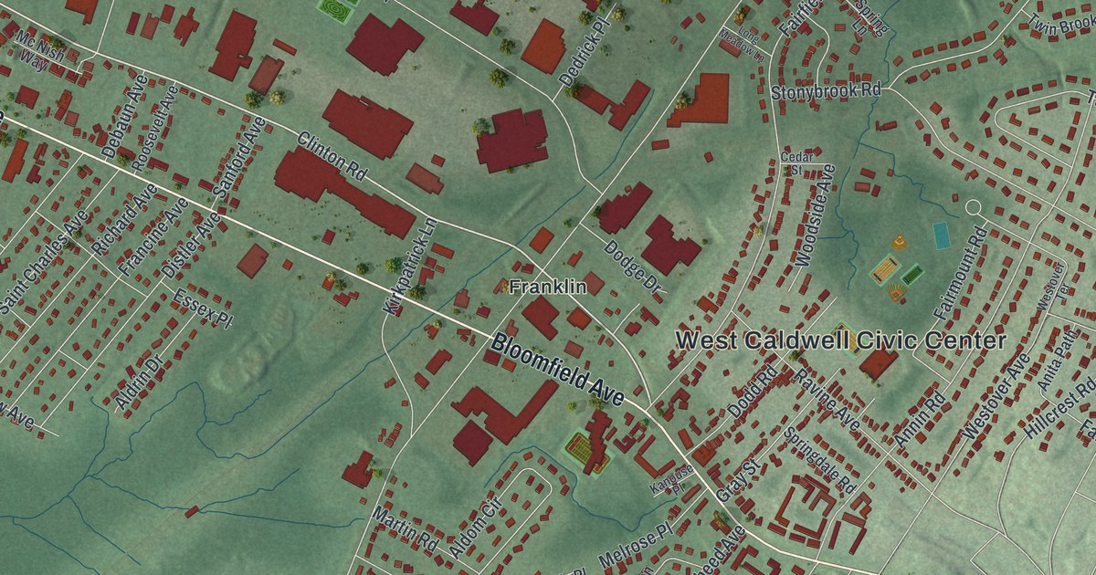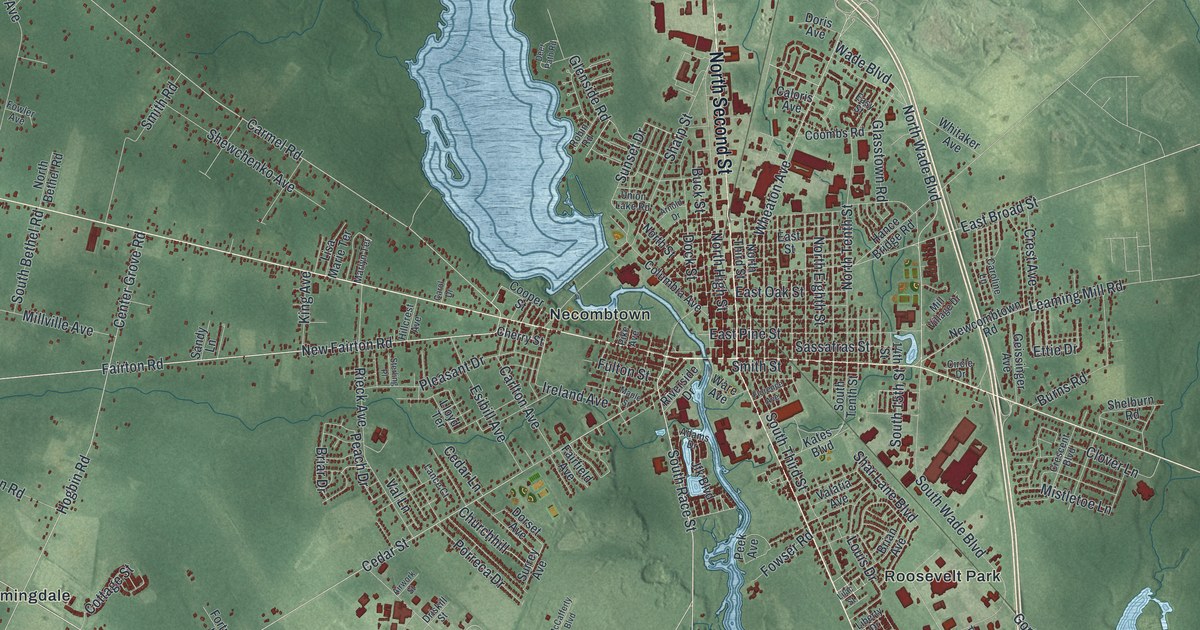
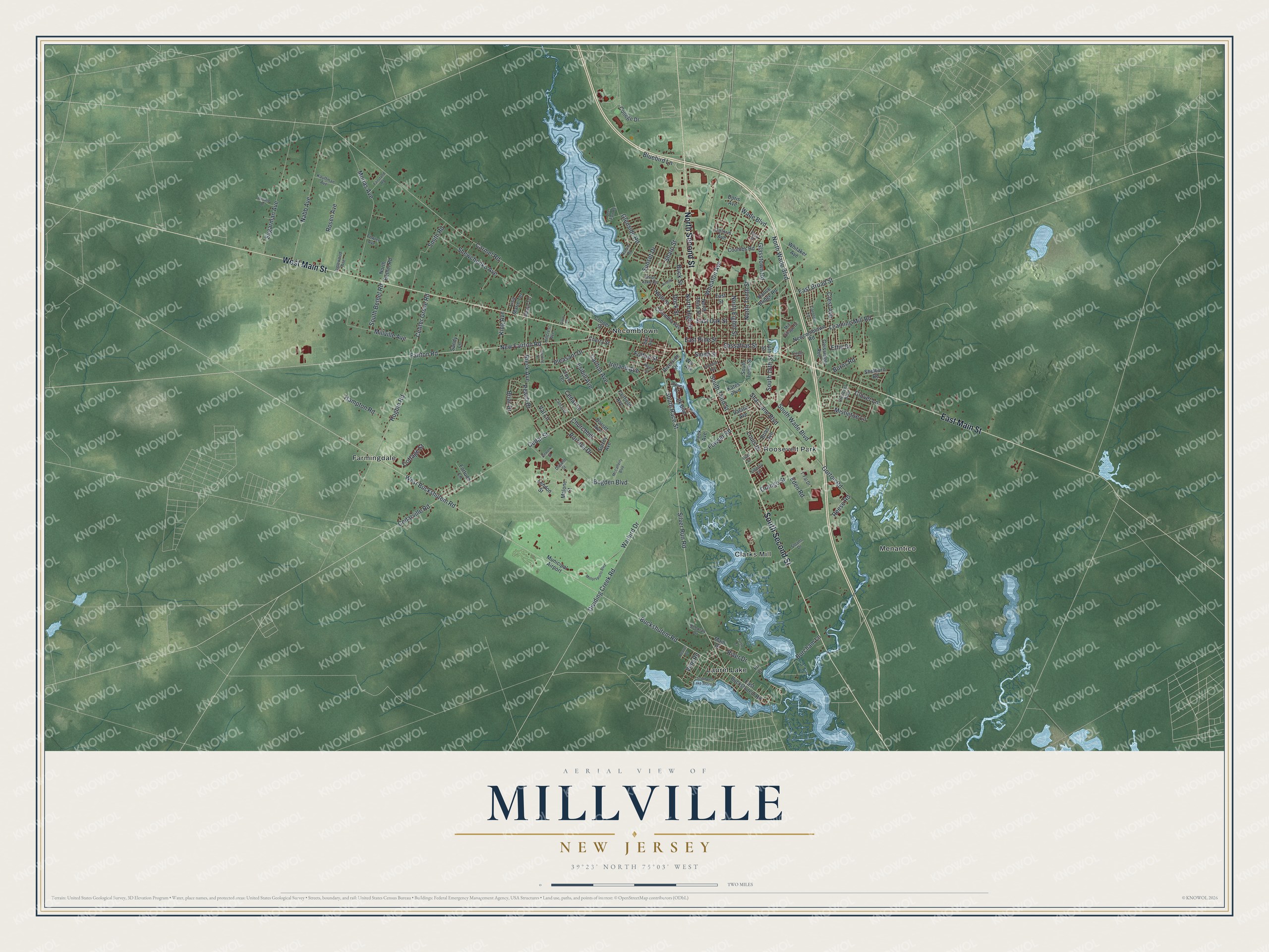
This beautifully detailed map of Millville, New Jersey was created in 2026 using aerial imagery combined with modern topographical, census, street and landmark data. It’s a one-of-a-kind view of Millville that combines accurate data with a vintage aesthetic. The map shows every building in its true location, many of the roads carry their names, and the shaded topographic relief shows the shape of the land.
Explore an aerial view of Millville, New Jersey
On the map you’ll find Clarks Mill, Farmingdale, Laurel Lake, Menantico, and Necombtown, along with Second Street, Main Street, Buckshutem Road, Race Street, Fairton Road, and more. If you look closely you can even find your house accurately drawn in its correct location. Zoom in on the preview to look for yours.
Did You Know?
Joseph Buck, a Revolutionary War veteran who served under George Washington, helped lay out the plan for Millville. His group bought land here in 1795. In 1806, Irish immigrant James Lee opened the first glass factory in the area. He used the local silica sand and plentiful wood to run it.
Take a closer look at the Millville map
Names on this map
These names are printed on this map.
Places: Clarks Mill, Farmingdale, Laurel Lake, Menantico, Necombtown, Roosevelt Park and Municipal Airport.
Streets and roads: South Second Street, North Second Street, West Main Street, East Main Street, West Buckshutem Road, South Race Street, Fairton Road, New Fairton Road, Carmel Road, Buckshutem Road, Silver Run Road, East Broad Street.
More street names, A to Z
14th Street, Adams Drive, Airwork Street, Arnold Drive, Beaver Drive, Bluebird Lane, Bogden Boulevard, Brian Avenue, Briar Drive, Buck Street, Burcham Lane, Burns Road, Caloris Avenue, Carlton Avenue, Carol Drive, Caroline Lane, Cedar Lane, Cedar Street, Cedarville Road, Center Grove Road, Cherry Street, Churchhill, Circle Drive, Clover Lane, College Drive, Columbia Avenue, Coombs Road, Cooper Street, Cottage Street, Crescent Boulevard, Crest Avenue, Deborah Drive, Deer Path Road, Dividing Creek Road, Dock Street, Doris Avenue, Dorset Avenue, Driskill Street, East Buckshutem Road, East Oak Street, East Pine Street, East Street, Easy Street, Eden Road, Esibill Avenue, Ettie Drive, Fairfield Avenue, Fairstand Road, Fir Court, Florence Avenue, Fortune Lane, Fowler Avenue, Fowser Road, Fulton Street, Geissinger Avenue, Glasstown Road, Glenside Road, Gorton Road, Hampton Road, Hance Bridge Road, Hillcrest Avenue, Hogbin Road, Inglewood Avenue, Ireland Avenue, Jfk Boulevard, Kates Boulevard, Kauffman Avenue, King Avenue, Lance Court, Leaming Mill Road, Lendon Street, Liberty Drive, Lilac Street, Lisa Marie Terrace, Lloyd Terrace, Louis Drive, Main Drive, Malone Street, Maple Street, Marlyn Terrace, McCafferty Boulevard, Mill Village Drive, Millville Avenue, Mistletoe Lane, Morias Avenue, Motorsports Boulevard, Nabb Avenue, Newcombtown Road, North Bethel Road, North Eighth Street, North High Street, North Street, North Tenth Street, North Third Street, North Wade Boulevard, Orange Street, Peach Drive, Peek Avenue, Pike Avenue, Pleasant Drive, Porreca Drive, Reese Road, Rieck Avenue, River Drive, Riverside Drive, Robin Road, Rosalie Drive, Rosen Avenue, Sandy Lane, Sassafras Street, Shar Lane Boulevard, Sharp Street, Shelburn Road, Shewchenko Avenue, Sloans Drive, Smith Road, Smith Street, South 15th Street, South Bethel Road, South Tenth Street, South Third Street, South Wade Boulevard, Southwest Lake Shore Drive, Sterling Place, Sugarman Avenue, Sunset Drive, Surrey Avenue, T-Fal Drive, Turtle Court, Union Lake Road, Valatia Avenue, Val Lane, Vine Road, Wade Boulevard, Warbird Drive, Ware Avenue, Wheaton Avenue, Whitaker Avenue.
See it on a wall
The Millville map as an 18 x 24 inch print in a black frame.

This beautifully detailed map of Millville makes an attractive addition to your office, library, or den, and it can even be used to teach children the geography and history of the area. It also makes a great gift for anyone who grew up in Millville or moved away. When you’re done exploring, click here to get your copy of the Millville map.