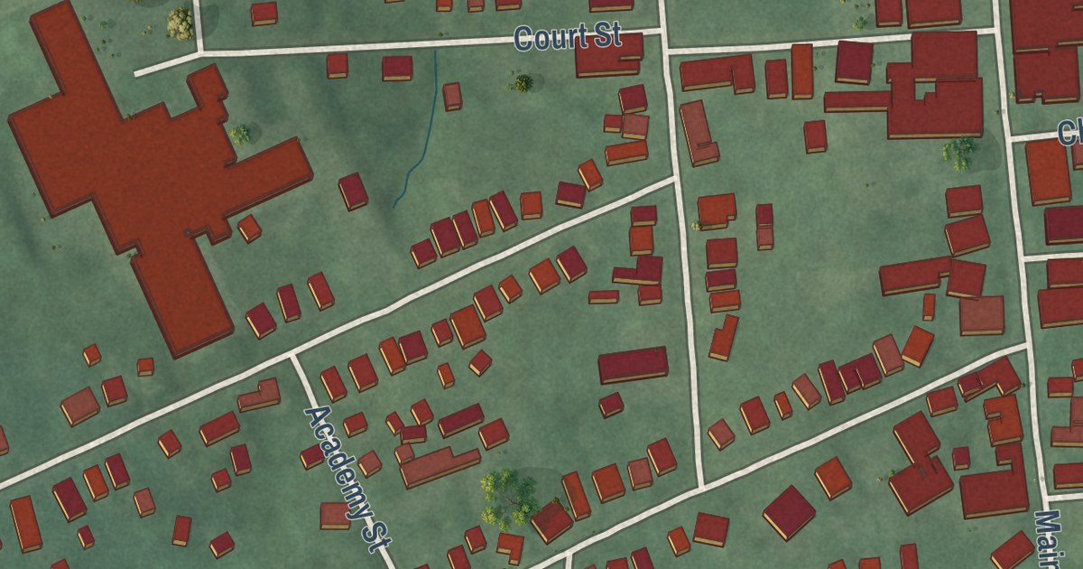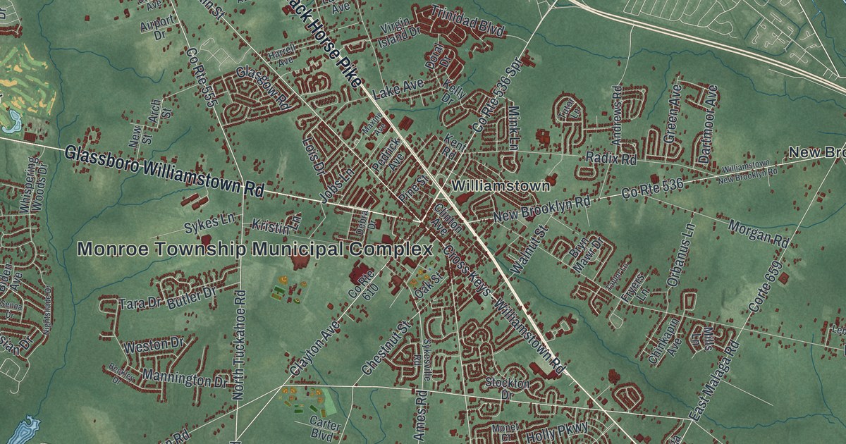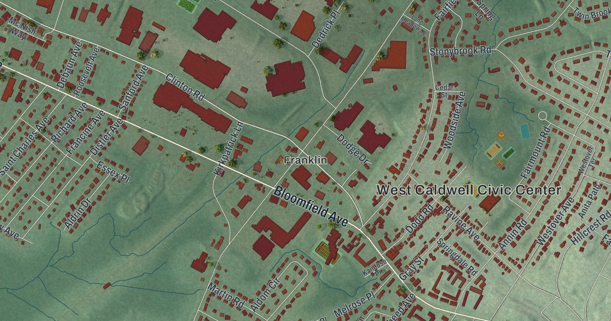
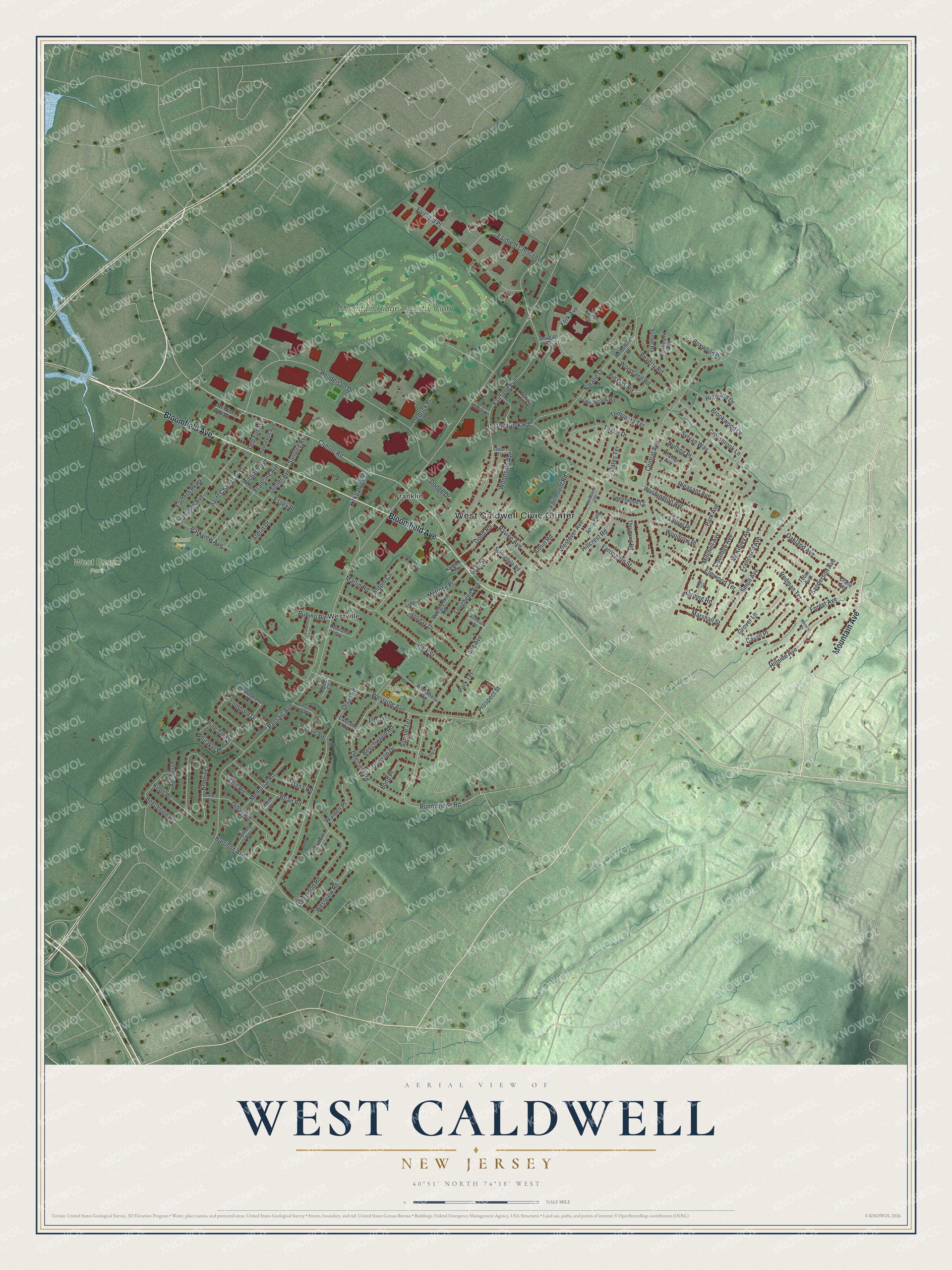
This beautifully detailed map of West Caldwell, New Jersey was created in 2026 using aerial imagery combined with modern topographical, census, street and landmark data. It’s a one-of-a-kind view of West Caldwell that combines accurate data with a vintage aesthetic. The map shows every building in its true location, many of the roads carry their names, and the shaded topographic relief shows the shape of the land.
Explore an aerial view of West Caldwell, New Jersey
On the map you’ll find West Caldwell Civic Center, Franklin, Westville, West Essex Park, and Richard Park, along with Bloomfield Avenue, Mountain Avenue, Clinton Road, Washington Avenue, and more. If you look closely you can even find your house accurately drawn in its correct location. Zoom in on the preview to look for yours.
Did You Know?
West Caldwell began as part of the Horseneck Tract, which Newark settlers bought from the Lenape in the early 1700s. The Lenape named it Horseneck because its shape looked like a horse’s head and neck. The borough formed in 1904. Its name came from the old township, which honored Presbyterian minister James Caldwell.
Take a closer look at the West Caldwell map
Names on this map
These names are printed on this map.
Places: West Caldwell Civic Center, West Essex Park, Bonnel Field, Richard Park, Franklin, Westville and Mountain Ridge Country Club.
Streets and roads: Bloomfield Avenue, Mountain Avenue, Clinton Road, Washington Avenue, Runnymede Road, Passaic Avenue, Fairfield Avenue, Central Avenue, Henderson Drive, Orton Road, Annin Road, Westville Avenue.
More street names, A to Z
Aldom Circle, Aldrin Drive, Anita Path, Beechtree Road, Beechwood Road, Beverly Road, Bond Place, Boxwood Drive, Brian Road, Brookwood Drive, Cascade Road, Cavell Place, Cedar Street, Coolidge Avenue, Crane Avenue, Crossbrook Lane, Dalewood Road, Dana Road, Dawson Drive, Debaun Avenue, Decamp Court, Dedrick Place, Deerfield Road, Dillon Road, Distler Avenue, Dodd Road, Dodge Drive, Dougal Place, Eastern Parkway, Ellis Place, Ellis Road, Elmwood Terrace, Essex Place, Everett Court, Evergreen Road, Fairfield Crescent, Fairfield Place, Fairmount Road, Farrington Street, Feldstone Place, Forest Avenue, Francine Avenue, Francisco Avenue, Glenwood Way, Gray Street, Grover Lane, Gymoty Road, Harding Road, Harrison Avenue, Hasemann Court, Highland Drive, Hillcrest Road, Hillside Avenue, Holiday Drive, Howland Circle, Johnson Avenue, Kanouse Place, Kirkpatrick Lane, Klimback Court, Knoll Place, Knoll Terrace, Kramer Avenue, Lane Avenue, Laurel Place, Lee Drive, Liddy Place, Lombard Drive, Long Meadow Lane, Lougheed Avenue, Marshall Street, Martin Road, McKinley Avenue, Mc Nish Way, Melrose Place, Memorial Road, Midvale Avenue, Mitchell Avenue, Natalie Drive, Nutting Place, Oakland Avenue, Oates Terrace, Park Avenue, Park Street, Park Terrace, Parkview Avenue, Patton Drive, Piermont Place, Pine Tree Place, Pin Oak Road, Pleasant Avenue, Prospect Street, Ravine Avenue, Redman Terrace, Reiher Court, Richard Avenue, Ridge Terrace, Roosevelt Avenue, Rosemere Avenue, Rubino Road, Saint Charles Avenue, Sanderson Avenue, Sanford Avenue, Smull Avenue, Springdale Road, Spring Lane, Stonybrook Road, Sunnie Terrace, Sunset Road, Sweetwood Court, Sylvan Way, Taylor Drive, Tempesta Terrace, Terrace Place, Thrumont Road, Tobin Avenue, Twin Brook Road, Van Ness Place, Walden Place, Waverly Place, Westover Avenue, Westover Terrace, Westview Road, Whitaker Place, Woodland Road, Woodmere Road, Woodrow Place, Woodside Avenue, York Avenue.
See it on a wall
The West Caldwell map as an 18 x 24 inch print in a black frame.

This beautifully detailed map of West Caldwell makes an attractive addition to your office, library, or den, and it can even be used to teach children the geography and history of the area. It also makes a great gift for anyone with West Caldwell roots. When you’re done exploring, click here to get your copy of the West Caldwell map.