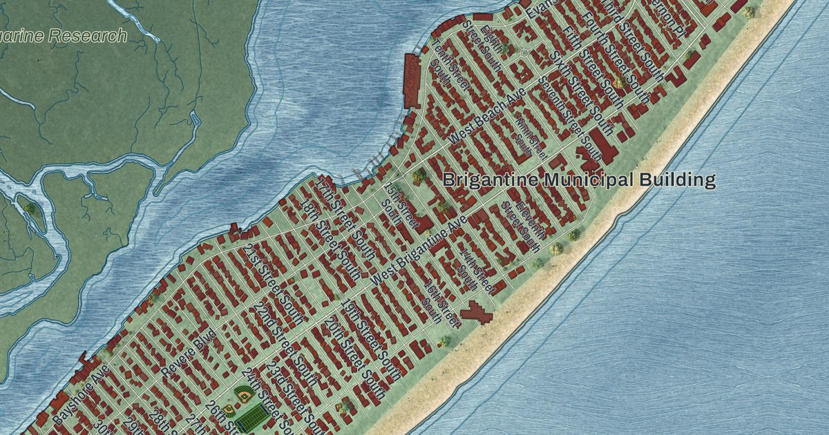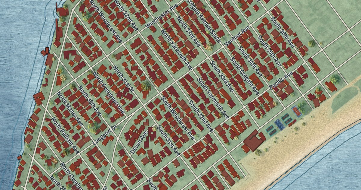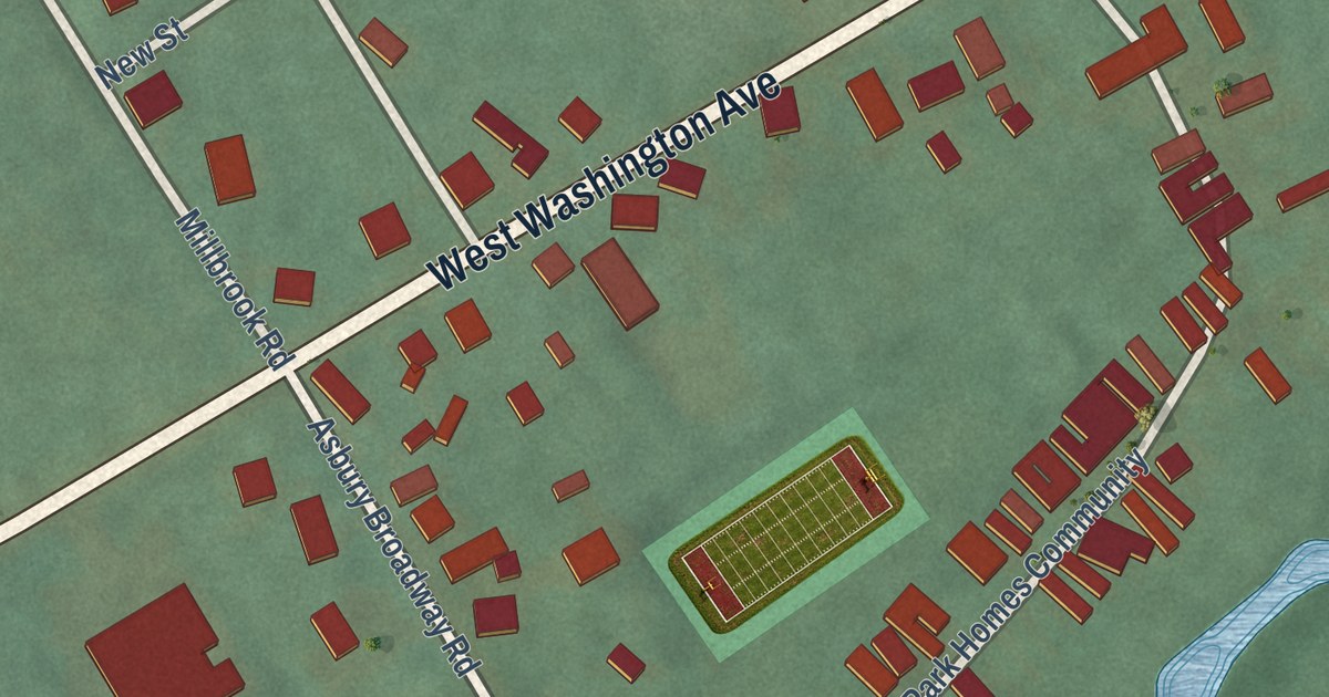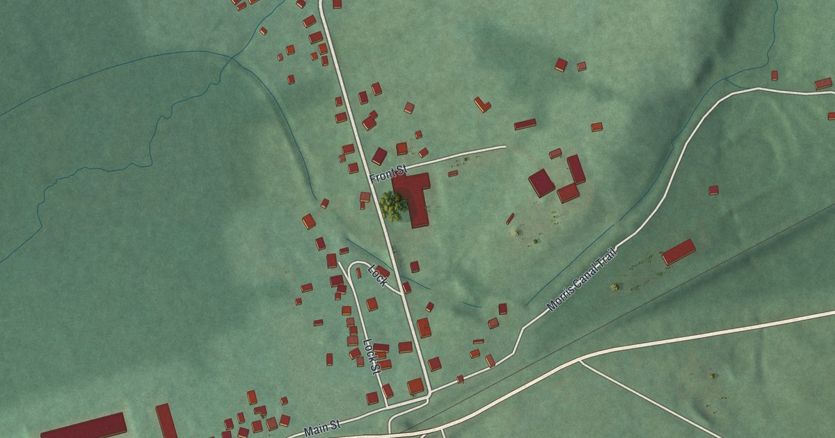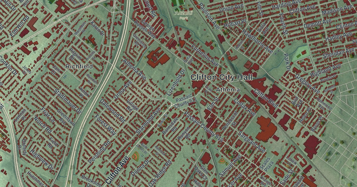
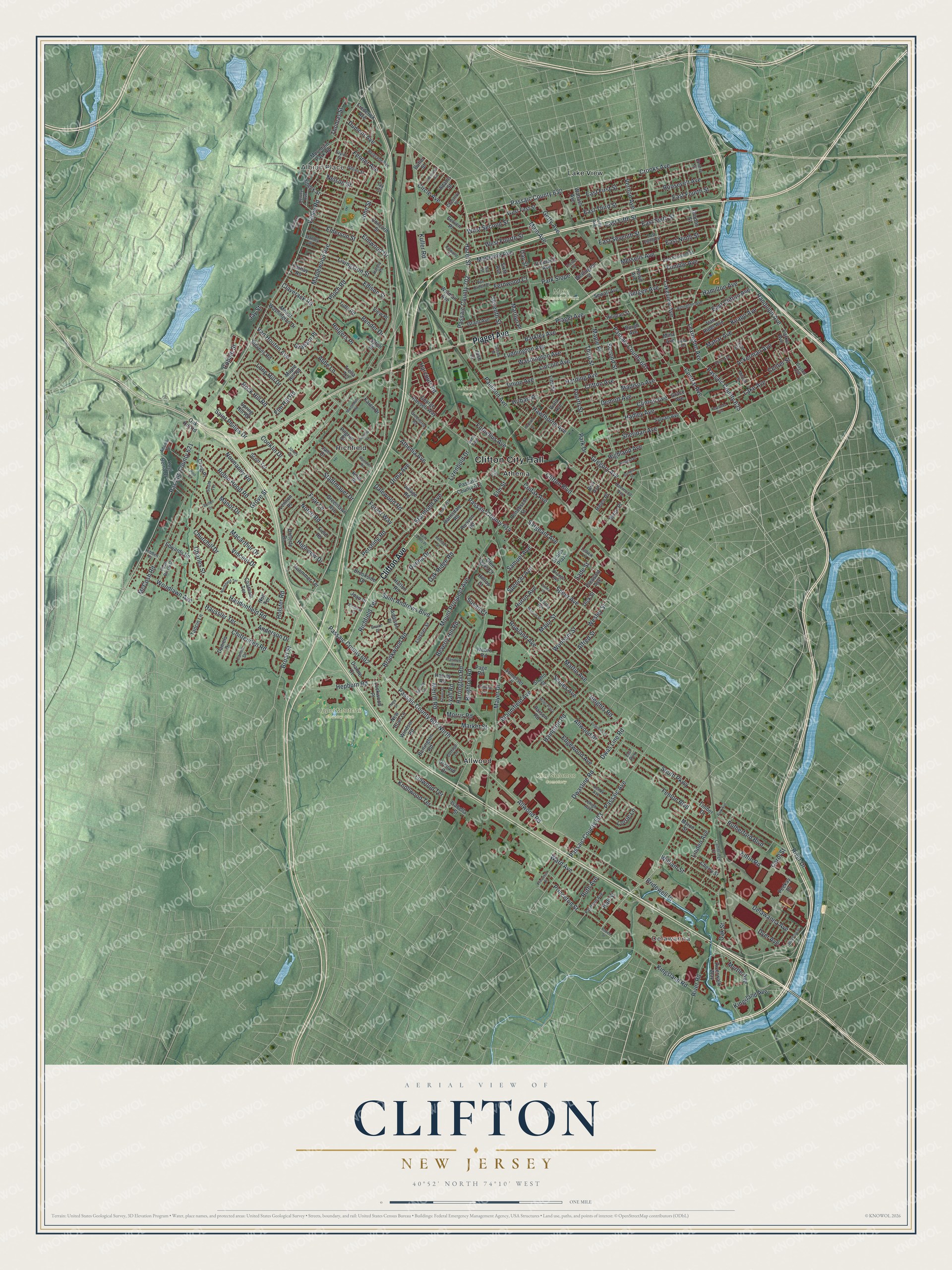
This beautifully detailed map of Clifton, New Jersey was created in 2026 using aerial imagery combined with modern topographical, census, street and landmark data. It’s a one-of-a-kind view of Clifton that combines accurate data with a vintage aesthetic. The map shows every building in its true location, many of the roads carry their names, and the shaded topographic relief shows the shape of the land.
Explore an aerial view of Clifton, New Jersey
On the map you’ll find Clifton City Hall, Delawanna, Albion Place, Anzaldi Park, King Solomon Cemetery, Main Memorial Park, Upper Montclair Country Club, Allwood, Athenia, Lake View, and Richfield, along with Clifton Avenue, and more. If you look closely you can even find your house accurately drawn in its correct location. Zoom in on the preview to look for yours.
Did You Know?
From 1900 to 1979, Clifton held the only animal quarantine station on the East Coast. It checked more than 95 percent of cloven-hooved animals brought into the country. Giraffes, camels, antelopes and musk oxen all passed through. Two of its old barns now house the Clifton Arts Center.
Take a closer look at the Clifton map
Names on this map
These names are printed on this map.
Places: Clifton City Hall, Delawanna, Albion Place, Anzaldi Park, King Solomon Cemetery, Main Memorial Park, Upper Montclair Country Club, Allwood, Athenia, Lake View and Richfield.
Streets and roads: Clifton Avenue, Piaget Avenue, Broad Street, Hazel Street, Crooks Avenue, Passaic County 702, Lexington Avenue, Passaic County 630, Randolph Avenue, Passaic County 625, Allwood Road, Highland Avenue.
More street names, A to Z
Abbe Lane, Ackerman Avenue, Adams Street, Adams Terrace, Addison Place, Alfred Street, Allwood Place, Alyea Terrace, Anderson Drive, Arlington Avenue, Athenia Avenue, Barkley Avenue, Barnsdale Road, Belgrade Avenue, Bender Drive, Bergen Avenue, Beverly Hill Road, Bird Avenue, Bloomfield Avenue, Bridewell Place, Brighton Road, Brookside Drive, Brookwood Road, Bruan Place, Burgess Place, Burgh Avenue, Burlington Road, Butler Street, Buttell Drive, Byron Place, Cambridge Court, Carline Drive, Carol Street, Cathay Road, Center Street, Central Avenue, Charles Street, Chatham Terrace, Cherry Street, Chester Street, Chestnut Street, Chittenden Road, Churchill Drive, Circle Avenue, Clairmont Road, Claverack Road, Clifton Boulevard, Clinton Avenue, Cobble Street, Colfax Avenue, Collura Lane, Concord Street, Conklin Drive, Cottage Lane, Craig Place, Curie Avenue, Cutler Street, Dalewood Road, Daniels Drive, Day Street, Dayton Avenue, Delawanna Avenue, Demott Avenue, Dewey Avenue, Dianne Court, Dick Street, Doherty Drive, Donna Drive, Dumont Avenue, Dwasline Road, Dwas Line Road, Dyer Avenue, East Clifton Avenue, East Eighth Street, East Eleventh Street, East Fifth Street, East First Street, East Fourth Street, East Ninth Street, East Parkway, East Seventh Street, East Sixth Street, East Third Street, Edgewood Avenue, Edison Street, Edward Court, Edwards Road, Elm Hill Road, Elm Street, Elmwood Drive, Emerson Street, Emma Place, Entin Road, Fenlon Boulevard, Fenner Avenue, Fernwood Court, Field Road, Fifth Street, Forest Way, Fornelius Avenue, Fourth Street, Frederick Avenue, Friar Lane, George Russell Way, Getty Avenue, Gillies Street, Glen Oaks Court, Gordon Street, Gould Terrace, Grace Avenue, Graham Place, Grant Avenue, Greenlawn Avenue, Greentree Road, Gregory Avenue, Grove Street, Haddenfield Road, Hadley Avenue, Hall Street, Hamilton Avenue, Hammond Avenue, Hampton Road, Harcourt Road, Harding Avenue, Harold Place, Harrington Road, Harvey Road, Haussler Terrace, Hawthorne Avenue, Heights Road, Helen Place, Hemlock Street, Hepburn Road, Hibben Place, Highview Drive, Hillman Street, Hilltop Court, Hobart Place, Holster Road, Howd Avenue, Hudson Street, Huemmer Terrace, Hugo Street, Huron Avenue, Hutton Road, Isabella Street, Ivy Court, Jani Court, Jay Street, Jefferson Street, Joan Place, John Street, Jones Court, Josh Court, Karen Drive, Kenter Place, Kingsland Avenue, Kingsland Road, Knapp Avenue, Knollwood Terrace, Knox Place, Kowal Street, Kuller Road, Ladwik Lane, Lake Avenue, Lakeview Avenue, La Salle Avenue, Layton Drive, Lehigh Avenue, Lennon Place, Lenox Avenue, Lincoln Avenue, Linden Avenue, Linwood Terrace, Livingston Street, Lizenbold Drive, Lockwood Place, Long Hill Drive, Lorrie Lane, Luddington Avenue, Luisser Street, Lyall Road, Macarthur Drive, Madeline Avenue, Madison Avenue, Mahar Avenue, Main Avenue, Major Street, Manor Drive, Maple Hill Road, Maple Place, Maplewood Avenue, Marilyn Place, Market Street, Marrion Street, Martin Avenue, Martindale Road, Mayer Drive, May Street, McCosh Road, Merrill Road, Merselis Avenue, Miller Plaza, Milosh Street, Mina Avenue, Morris Road, Mountain Park Road, Mount Prospect Avenue, Mount Washington Drive, Myron Street, Myrtle Avenue, Nelson Street, New Brier Lane, Noll Terrace, Normandy Road, Northfield Terrace, Norwood Avenue, Notch Road, Oak Hill Road, Oak Ridge Road, Oak Street, Orange Avenue, Orchard Drive, Page Road, Park Avenue, Park Drive, Parker Avenue, Park Slope, Parson Road, Passaic Avenue, Passaic County 601, Passaic County 602, Passaic County 602 North, Passaic County 603, Passaic County 611, Passaic County 614, Passaic County 621, Paterson Avenue, Paulison Avenue, Pearl Brook Drive, Peekay Drive, Penobscot Street, Pershing Road, Pilgrim Drive, Pino Court, Pleasant Avenue, Ploch Road, Plymouth Road, Princeton Place, Princeton Street, Priscilla Street, Richfield Terrace, Richland Court, River Drive, River Road, Riverwalk Way, Robert Street, Robin Hood Road, Rock Hill Road, Rooney Street, Roosevelt Avenue, Rowland Avenue, Runyon Road, Rutgers Place, Ruth Avenue, Rutherford Boulevard, Sade Street, Saint Andrews Boulevard, Saint James Place, Saint Philips Drive, Samuel Avenue, Sargeant Avenue, Scales Plaza, Scoles Avenue, Scott Terrace, Second Street, Serven Place, Seventh Street, Sewall Avenue, Shafto Street, Sheridan Avenue, Silleck Street, Sixth Avenue, Skyview Terrace, Somerset Place, South Parkway, Speer Avenue, Spencer Avenue, Spring Hill Road, Stadtmauer Drive, Stanley Street, Starmond Avenue, Stevens Road, Summer Street, Surrey Lane, Susan Court, Sussex Street, Svea Avenue, Sylvan Avenue, Tancin Lane, Taylor Street, Third Street, Thomas Street, Timber Drive, Trella Terrace, Trimble Avenue, Tufts Road, Twain Place, Union Avenue, Urma Avenue, Valley Road, Van Cleve Avenue, Van Houten Avenue, Van Orden Place, Van Riper Avenue, Vernon Avenue, View Place, Village Road, Vincent Drive, Viola Avenue, Virginia Avenue, Vreeland Avenue, Wabash Avenue, Walman Avenue, Ward Avenue, Washington Avenue, Webro Road, Wellington Street, Wesley Street, West First Street, West Fourth Street, West Second Street, William Street, Windsor Road, Wonham Street, Woodlawn Avenue, Yereance Avenue, Yogi Berra Drive.
See it on a wall
The Clifton map as an 18 x 24 inch print in a black frame.

This beautifully detailed map of Clifton makes an attractive addition to your office, library, or den, and it can even be used to teach children the geography and history of the area. It also makes a great gift for anyone who grew up in Clifton or moved away. When you’re done exploring, click here to get your copy of the Clifton map.