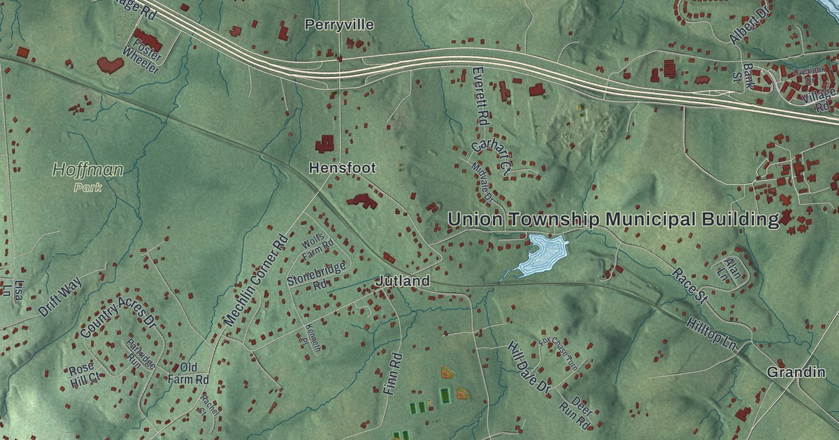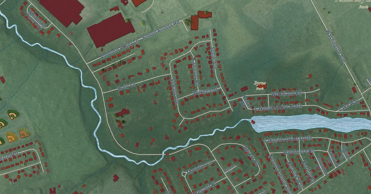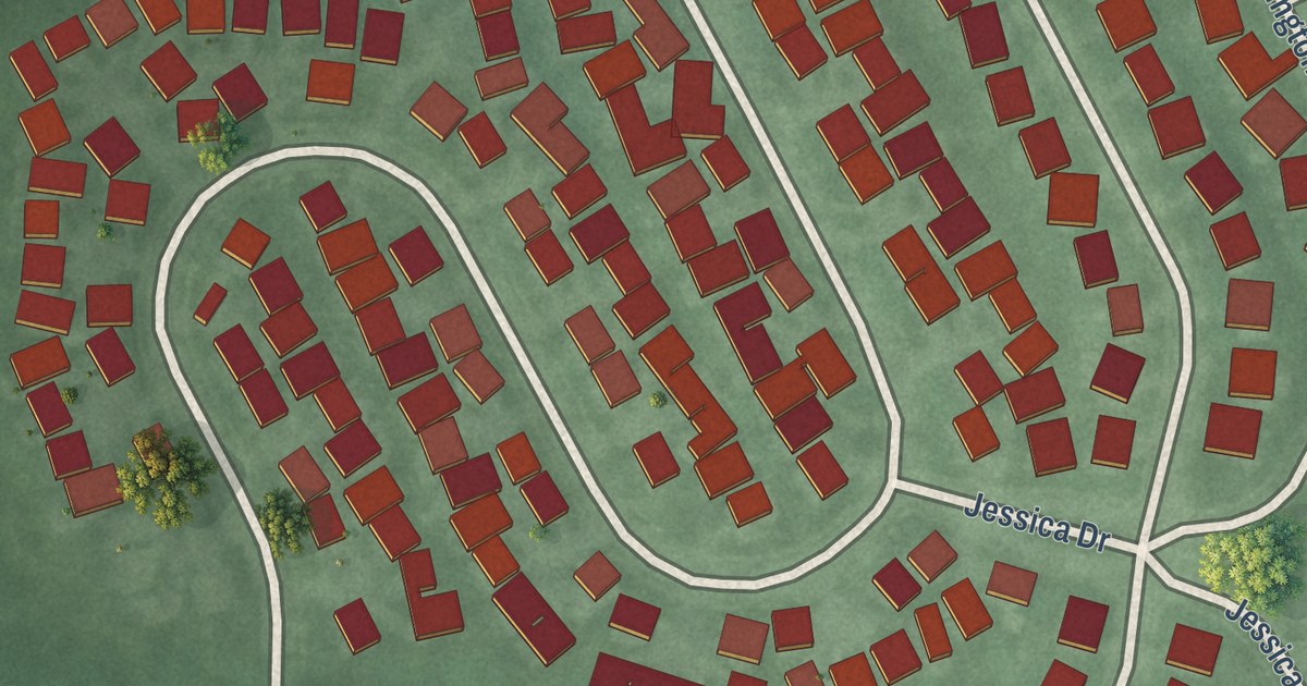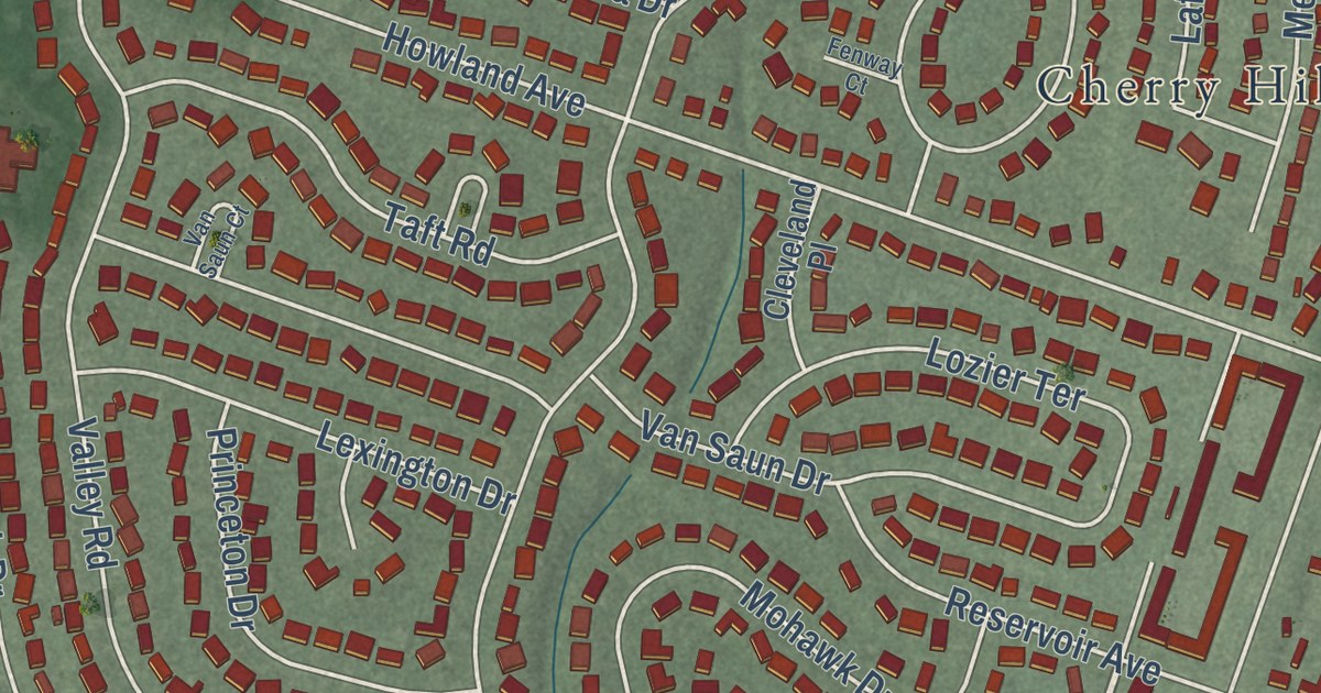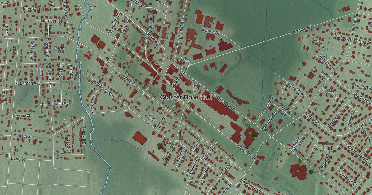
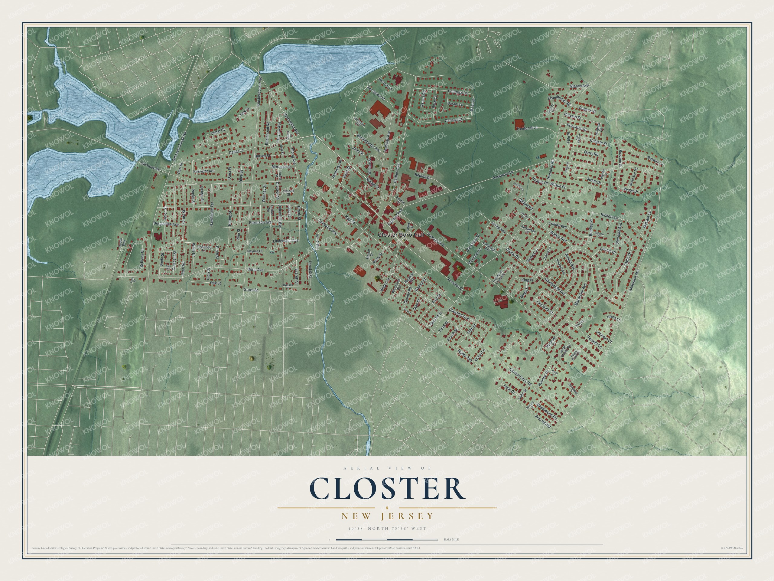
This beautifully detailed map of Closter, New Jersey was created in 2026 using aerial imagery combined with modern topographical, census, street and landmark data. It’s a one-of-a-kind view of Closter that combines accurate data with a vintage aesthetic. The map shows every building in its true location, many of the roads carry their names, and the shaded topographic relief shows the shape of the land.
Explore an aerial view of Closter, New Jersey
On the map you’ll find Closter Boro Hall, along with Closter Dock Road, Lindemann Avenue, Naugle Street, High Street, Piermont Road, Anderson Avenue, Durie Avenue, Ruckman Road, Homans Avenue, Demarest Avenue, Knickerbocker Road, and more. If you look closely you can even find your house accurately drawn in its correct location. Zoom in on the preview to look for yours.
Did You Know?
Barent and Resolvert Nagel bought 1,030 acres here on April 25, 1710. Along with the Vervalen family, the brothers were the first settlers of Closter. The Dutch families left a lasting mark, including a collection of Jersey Dutch stone houses. Closter became a borough on January 1, 1904.
Take a closer look at the Closter map
Names on this map
These names are printed on this map.
Places: Closter Boro Hall.
Streets and roads: Closter Dock Road, Lindemann Avenue, Naugle Street, High Street, Piermont Road, Anderson Avenue, Durie Avenue, Ruckman Road, Homans Avenue, Demarest Avenue, Knickerbocker Road, Harrington Avenue.
More street names, A to Z
Alpine Drive, Ann Arbor Place, Arnold Avenue, Asmus Road, Auryansen Court, Bergenline Avenue, Bethany Circle, Birch Street, Blackledge Court, Blanch Avenue, Bogert Street, Bowers Lane, Bradley Place, Brodil Court, Brook Street, Buzzoni Drive, Carlson Court, Caroline Court, Carr Place, Cedar Court, Cedar Lane, Center Street, Charles Street, Chestnut Avenue, Church Court, Clarke Street, Cleveland Street, Colgate Street, Collins Avenue, Columbus Avenue, County Road, Crescent Street, Cross Street, Curtis Place, Dana Place, Division Street, Durant Lane, Eckerson Avenue, Eisenhower Road, Endres Street, Ethel Place, Everett Street, Fairview Avenue, Farrington Avenue, Fifth Street, First Street, Flamm Brook Road, Forest Street, Fourth Street, Garry Road, Giletta Court, Greenway Court, Grove Street, Gwynne Court, Halsey Lane, Haring Street, Harvard Street, Harvey Street, Hawthorne Terrace, Heaton Court, Henmar Drive, Herbert Avenue, Hickory Lane, Highview Court, Irene Court, Irving Avenue, Jane Street, Jason Woods Road, Jays Court, Johnson Court, John Street, Julia Street, Kennedy Circle, King Place, Kinkaid Avenue, Lake Street, Laurence Court, Legion Place, Leonard Avenue, Lewis Street, Lindbergh Avenue, Lockwood Lane, Locust Street, Macarthur Avenue, Madison Avenue, Maple Avenue, Maplewood Road, Mattocks Place, McCain Court, McKinley Street, Mead Drive, Meadows Lane, Michaels Lane, Millpond Road, Morrison Street, New Street, North Star Road, Oakland Avenue, Oak Street, Old Hook Road, Olive Street, Parsells Court, Parsells Lane, Patton Lane, Pearl Road, Perry Street, Pine Hill Road, Pine Street, Poplar Street, Primrose Lane, Princeton Street, Railroad Avenue, Ranch Lane, Reuten Drive, Richard Court, Robinhood Road, Roden Way, Rose Court, Rutgers Street, Ryerson Place, Schraelenburgh Road, Second Street, Sherman Avenue, Smith Street, Station Court, Storig Avenue, Susan Drive, Taillon Terrace, Taylor Drive, Tenakill Street, Third Street, Trautwein Crescent, Trenton Boulevard, Union Street, Valley Road, Van Sciver Street, Venus Drive, Vervalen Street, Vivian Lane, Wainwright Avenue, Walker Avenue, Walnut Street, Wellington Avenue, Wendy Lane, Westervelt Avenue, Westminster Avenue, West Street, Whitney Street, William Street, Willis Drive, Willow Road, Wilson Place, Yale Place.
See it on a wall
The Closter map as an 18 x 24 inch print in a black frame.

This beautifully detailed map of Closter makes an attractive addition to your office, library, or den, and it can even be used to teach children the geography and history of the area. It also makes a great gift for anyone who grew up in Closter or moved away. When you’re done exploring, click here to get your copy of the Closter map.