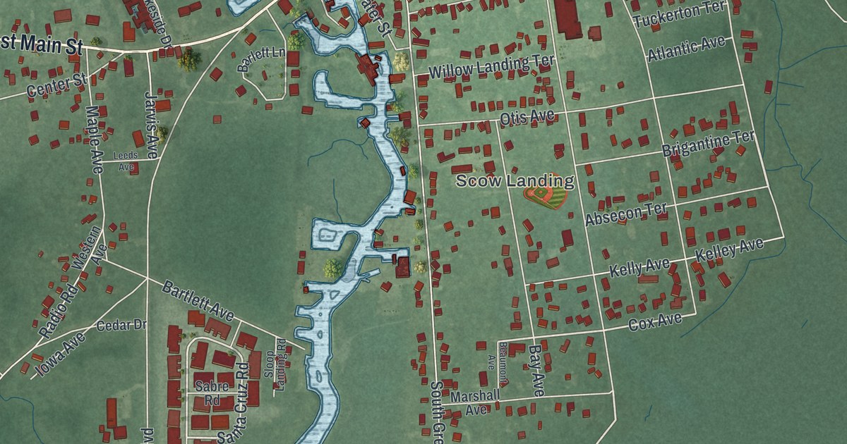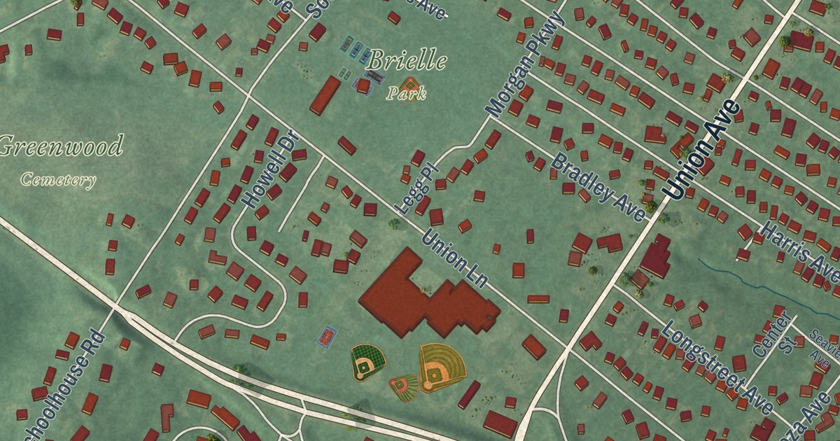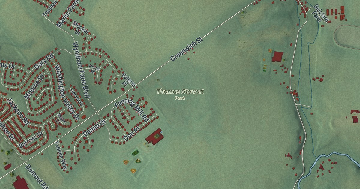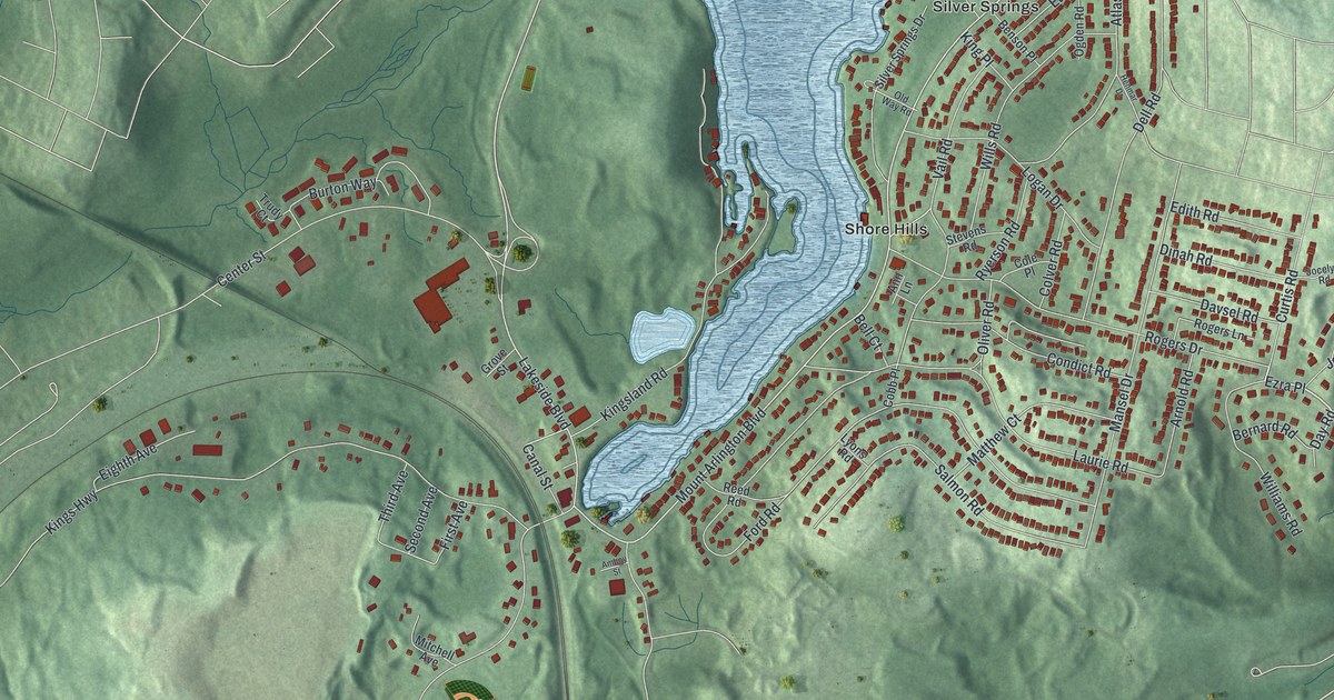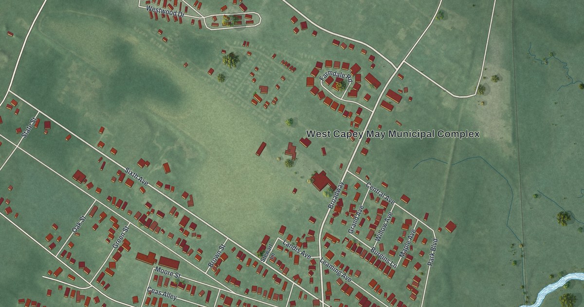
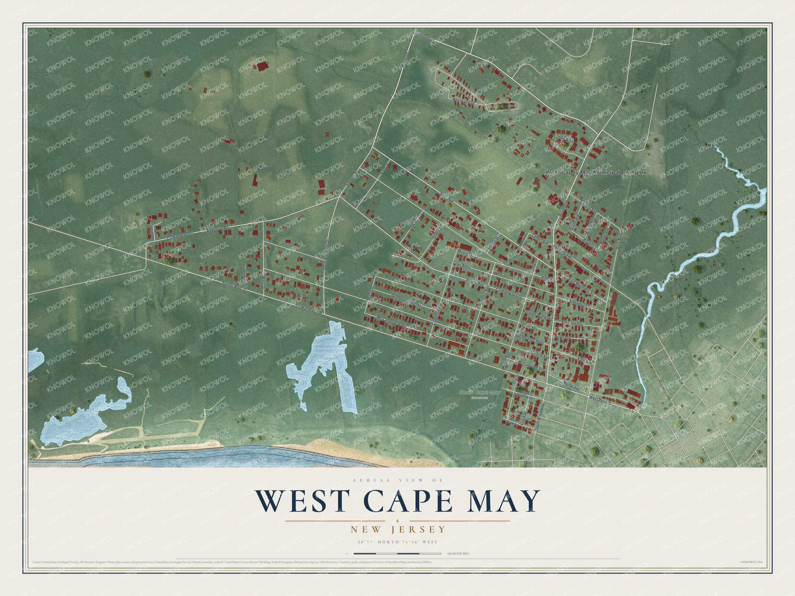
This beautifully detailed map of West Cape May, New Jersey was created in 2026 using aerial imagery combined with modern topographical, census, street and landmark data. It’s a one-of-a-kind view of West Cape May that combines accurate data with a vintage aesthetic. The map shows every building in its true location, many of the roads carry their names, and the shaded topographic relief shows the shape of the land.
Explore an aerial view of West Cape May, New Jersey
On the map you’ll find West Capey May Municipal Complex, along with Perry Street, Stimpson Lane, Sixth Avenue, Bayshore Road, and more. If you look closely you can even find your house accurately drawn in its correct location. Zoom in on the preview to look for yours.
Did You Know?
From 1881 to 1931, the Hastings Goldbeating Company worked in West Cape May. Women there pounded one-inch strips of gold into sheets as thin as gossamer for decorative work. The business helped lead to the borough’s incorporation in 1884. Women kept booking gold leaf sheets until 1961.
Take a closer look at the West Cape May map
Names on this map
These names are printed on this map.
Places: West Capey May Municipal Complex and South Cape May Meadows.
Streets and roads: Broadway, West Perry Street, Stimpson Lane, Bayshore, Sixth Avenue, Bayshore Road, Mc Cullough Alley, Morrison, Burgins Lane, County Highway 606, Sunset Boulevard, County Highway 607.
More street names, A to Z
Atlantic Avenue, Borough Hall Alley, Brown Street, Ceas Alley, Central Avenue, Columbia Avenue, Congress Street West, County Highway 635, Douglas Avenue, East Mechanic Street, Eldredge Avenue, Emerald Avenue, Farmdale Road, Fifth Avenue, First Avenue, Fourth Avenue, Fow Avenue, Goldbeaten Alley, Goldbeatten Alley, Grand Avenue, Green Street, Landis Avenue, Leaming Avenue, Maple Avenue, McCullough Alley, Moore Street, Myrtle Avenue, Oak Street, Pacific Avenue, Park Boulevard, Pearl Avenue, Pond Creek Lane, Second Avenue, South Bayshore Drive, South Broadway, State Street, Stevens Street, Stewart Lane, Third Avenue, West Drive, West Grant Street, Westwood Drive, Willow Avenue, York Avenue.
See it on a wall
The West Cape May map as an 18 x 24 inch print in a black frame.

This beautifully detailed map of West Cape May makes an attractive addition to your office, library, or den, and it can even be used to teach children the geography and history of the area. It also makes a great gift for anyone who grew up in West Cape May or moved away. When you’re done exploring, click here to get your copy of the West Cape May map.