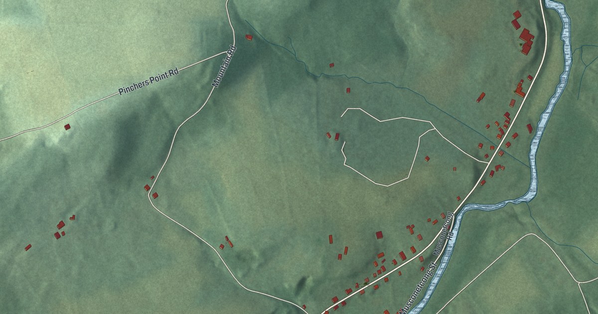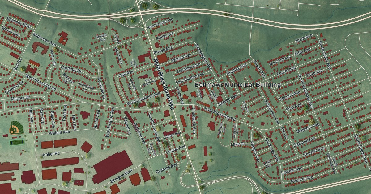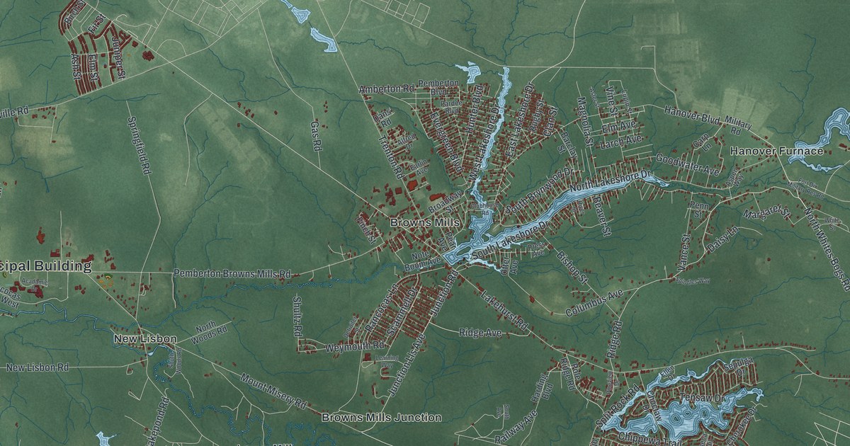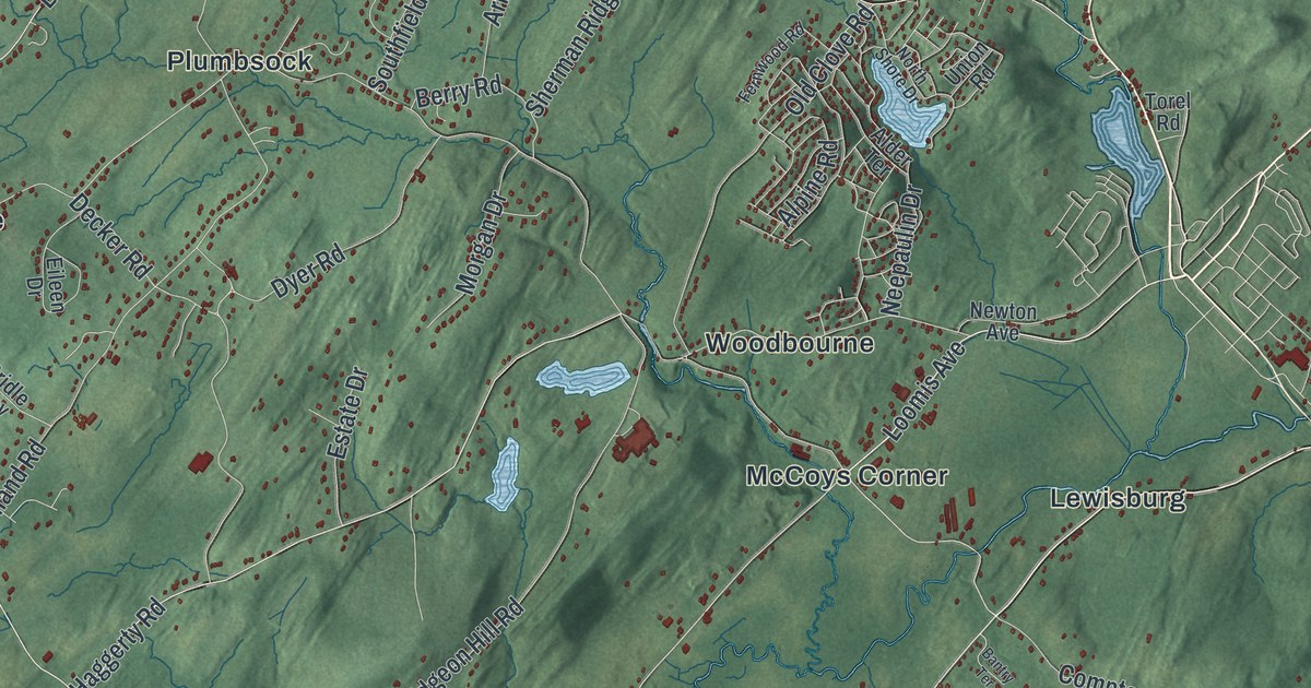
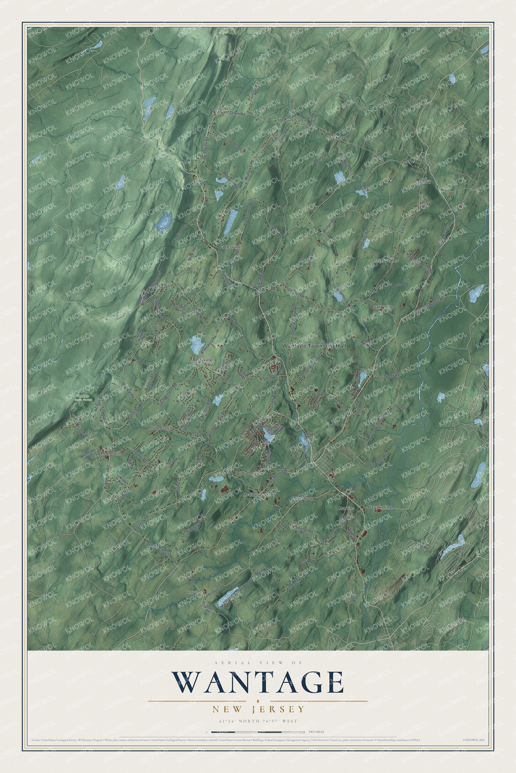
This beautifully detailed map of Wantage, New Jersey was created in 2026 using aerial imagery combined with modern topographical, census, street and landmark data. It’s a one-of-a-kind view of Wantage that combines accurate data with a vintage aesthetic. The map shows every building in its true location, many of the roads carry their names, and the shaded topographic relief shows the shape of the land.
Explore an aerial view of Wantage, New Jersey
On the map you’ll find Wantage Township Hall, Roys, Beemerville, Colesville, Hanford, Lewisburg, and Stokes State Forest, along with Lewisburg Road, Loomis Avenue, Roy Road, Unionville Road, and more. If you look closely you can even find your house accurately drawn in its correct location. Zoom in on the preview to look for yours.
Did You Know?
Wantage Township was named for Wantage, a town in England. It began as a precinct in 1754, carved out of Newton Township. In 1798 it became one of the first 104 townships in New Jersey. Part of it became Deckertown in 1891, later renamed Sussex.
Take a closer look at the Wantage map
Names on this map
These names are printed on this map.
Places: Wantage Township Hall, Roys, Stokes State Forest, Beemerville, Colesville, Hanford, Lewisburg, Libertyville, Martins, McCoys Corner, Mount Salem, Papakating, Plumbsock, Quarryville, Rockport, Van Syckles and Woodbourne.
Streets and roads: Lewisburg Road, Loomis Avenue, Roy Road, Unionville Road, Mount Salem Road, Libertyville Road, Lower Unionville Road, Rose Morrow Road, Neilson Road, Mudtown Road, Sally Harden Road, Quarry Road.
More street names, A to Z
4-H Trail, Alder Terrace, Alpine Road, American Way, Armstrong Road, Ashworth Lane, August Lane, Bantry Terrace, Bassetts Bridge Road, Beaver Run Road, Beemer Church Road, Beemer Road, Berry Road, Black Dirt Road, Blair Road, Born Road, Boulder Hills Boulevard, Bridle Way, Brink Road, Brookhaven Way, Brown Road, Card Road, Carly Drive, Cemetery Road, Central School Road, Clark Road, Clove Road, Compton Road, Courtland Drive, Courtright Road, Coykendall Road, Crigger Road, Dales Crossing, Decker Road, Deckertown Turnpike, Degroat Road, Dewitt Road, Dunvale Road, Dyer Road, Edsall Road, Eileen Drive, Estate Drive, Ferguson Road, Fernwood Road, File Road, Flagstone Hill Road, Garrett Lane, Gemmer Road, Glen Road, Gorge Road, Greenville Road, Haggerty Road, Hankins Road, Havens Road, Hickory Road, Holland Road, Jane Drive, Janice Drive, Judge Beach Road, Layton Road, Lott Road, Lowe Road, Lusscroft Road, Maida Drive, Medaugh Road, Moore Road, Morgan Drive, Mountain View Drive, Neepaulin Drive, Newton Avenue, Northfield Drive, North Shore Drive, North Wilson Lane, Oil City Road, Old Clove Road, Old State Route 84, Opsal Lane, Pidgeon Hill Road, Pond School Road, Possum Glen Road, Ramsey Road, Roberts Way, Rockport Road, Ross Corner Sussex Road, Rutgers Road, Ryan Road, Shale Hill Road, Sherman Ridge Road, Shore Road, Skytop Road, Smith Road, Snover Road, Southfield Drive, Spreen Road, Torel Road, Turner Road, Union Road, Valley Road, Wantage Avenue, Wantage School Road, Wolfpit Road, Wykertown Road.
See it on a wall
The Wantage map as an 18 x 24 inch print in a black frame.

This beautifully detailed map of Wantage makes an attractive addition to your office, library, or den, and it can even be used to teach children the geography and history of the area. It also makes a great gift for anyone with Wantage roots. When you’re done exploring, click here to get your copy of the Wantage map.