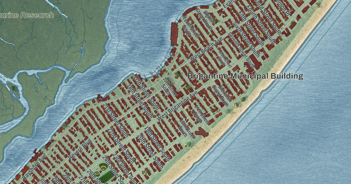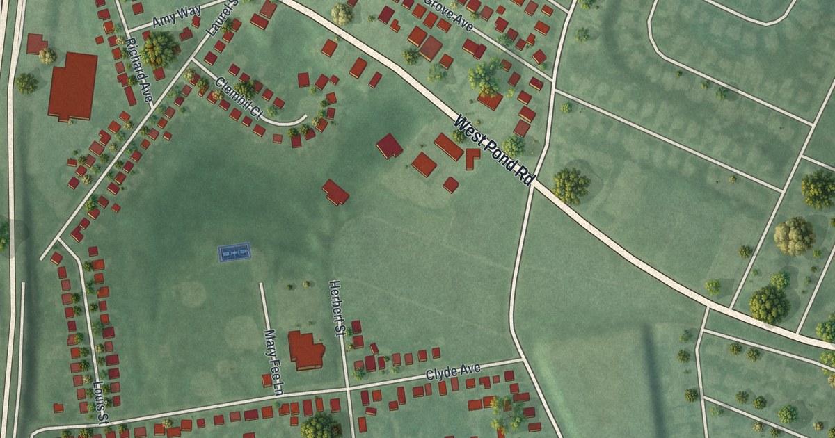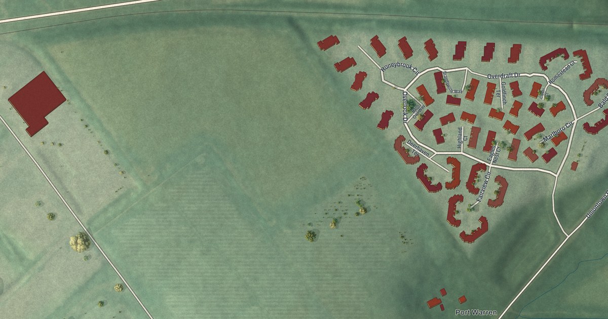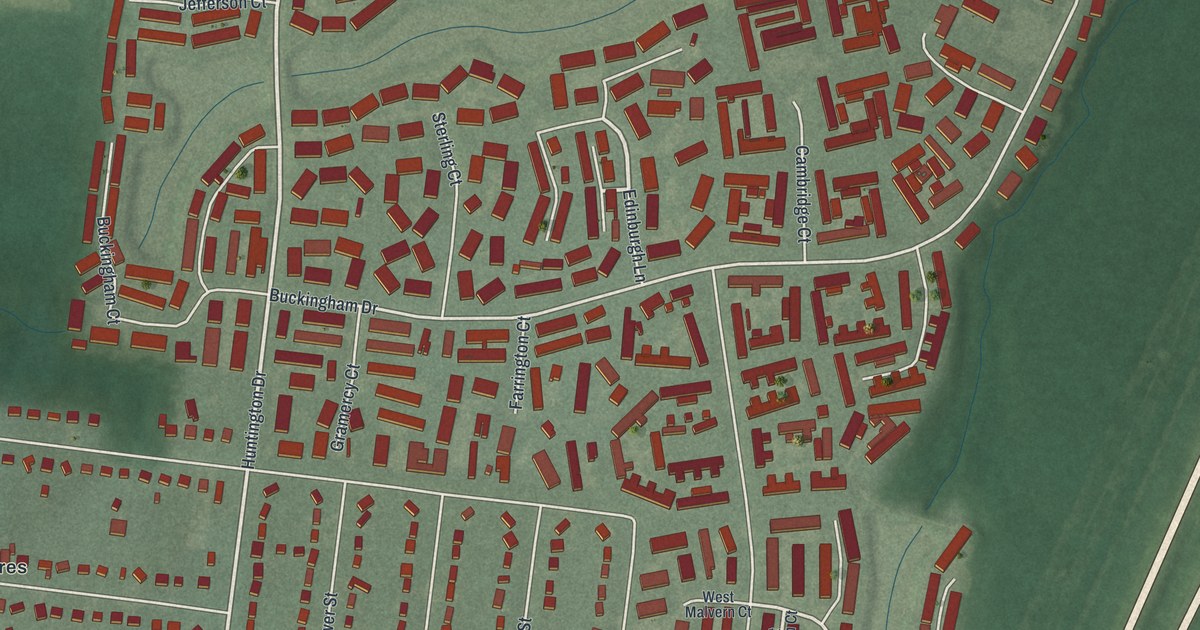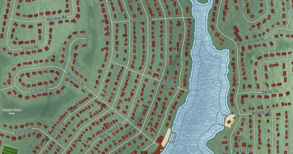
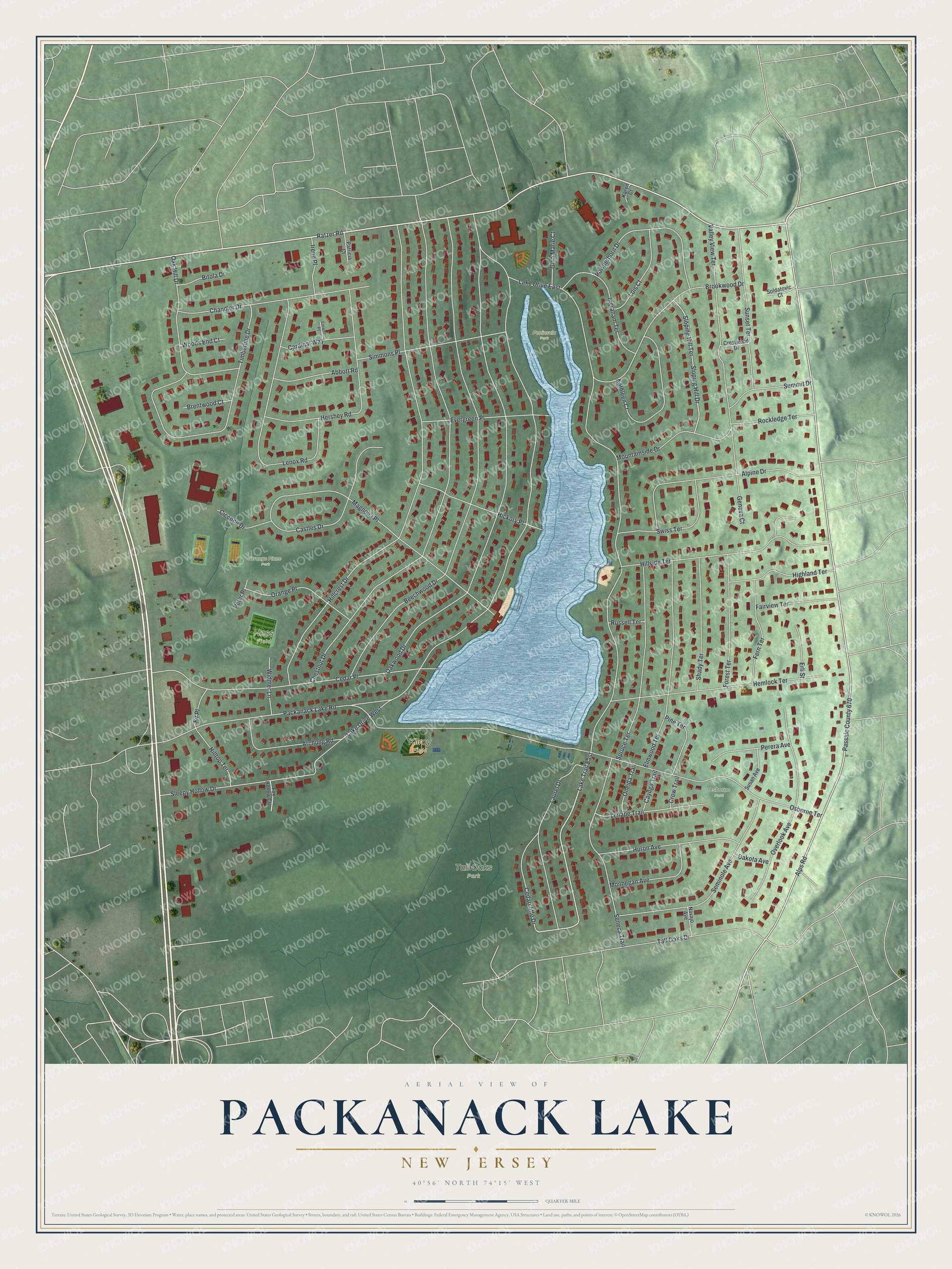
This beautifully detailed map of Packanack Lake, New Jersey was created in 2026 using aerial imagery combined with modern topographical, census, street and landmark data. It's a modern aerial view of Packanack Lake in Passaic County, New Jersey, that combines modern data with a vintage aesthetic. The roads feature printed names, and if you look closely you can find your exact house accurately shown in its correct location.
Explore an aerial view of Packanack Lake, New Jersey
On this map you'll find Tall Oaks Park, Orange Place Park, Kilroy Field, Peninsula Park, Hess Field, Osborne Park, Ratzer Road, Passaic County 670, Lake Trail East, Alps Road, Chestnut Drive, Hillcrest Drive, and more. Each red shape is a building, so zoom in on the preview and look for yours.
Packanack Lake is a community in Passaic County. The Census Bureau counted 6,261 people here in 2020. The map prints the town name in its title panel, with the coordinates below it.
Take a closer look at the Packanack Lake map
Names on this map
These names are printed on this map.
Places: Tall Oaks Park, Orange Place Park, Kilroy Field, Peninsula Park, Hess Field and Osborne Park.
Streets and roads: Ratzer Road, Passaic County 670, Lake Trail East, Alps Road, Lake Drive East, Lake Drive West, Chestnut Drive, Hillcrest Drive, Beechwood Drive, Oakwood Drive, Osborne Terrace, Cedar Place.
More street names, A to Z
Abbott Road, Alpine Drive, Archung Road, Bitola Drive, Brentwood Court, Brookwood Drive, Cardinal Way, Castles Drive, Cayuga Trail, Cedarcliffe Drive, Chandler Drive, Ciccone Drive, Crestwood Drive, Crow Trail, Dakota Avenue, Elmwood Terrace, Erli Street, Evergreen Place, Fairview Terrace, Fern Terrace, Fir Place, Forest Terrace, Fox Hollow Court, Geneva Court, Gina Marie Court, Hemlock Terrace, Hershey Road, Hickory Place, Highland Terrace, Hillside Terrace, Hilltop Terrace, Huron Avenue, Ingraham Terrace, Irene Place, Karen Court, Kathleen Court, Laurel Drive, Lenape Trail, Lenox Road, Lois Court, Lorenz Place, Magnolia Place, Monhegan Avenue, Mountainside Drive, Navajo Avenue, Oak Hill Drive, Oneida Trail, Orange Place, Overlook Avenue, Packanack Lake Road, Patricia Court, Perera Avenue, Peter Place, Pine Terrace, Powderhorn Drive, Rockledge Terrace, Russell Terrace, Seminole Avenue, Seneca Trail, Shady Terrace, Simmons Place, Sleepy Hollow Drive, Sloping Hill Drive, Sloping Hill Terrace, Soldatovic Court, Spruce Terrace, Summit Drive, Sunset Terrace, Susan Avenue, Swiss Terrace, Tall Oaks Drive, Timberline Drive, Valley View Terrace, Widmer Lane, Woods End Court.
See it on a wall
The Packanack Lake map as a framed print. Swipe for more.


Created by KNOWOL in 2026. The buildings are small red shapes, the roads carry their printed names, and shaded relief shows the shape of the land. The title panel reads "AERIAL VIEW OF PACKANACK LAKE, NEW JERSEY" with 40°56' NORTH 74°15' WEST.
Hang it in the hallway, the office or the cabin, or give it to someone who left Packanack Lake and still calls it home. Open the preview and look for a street you know. See sizes and frames for the Packanack Lake map.