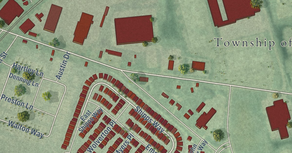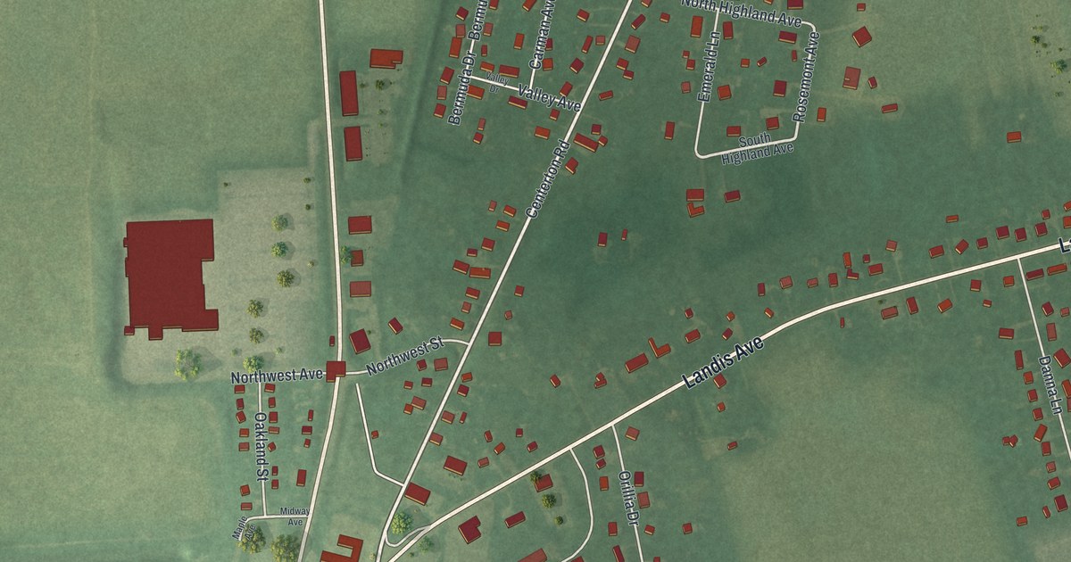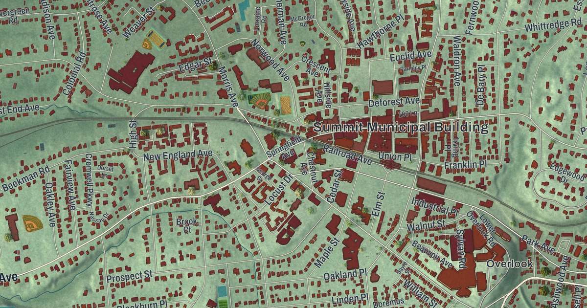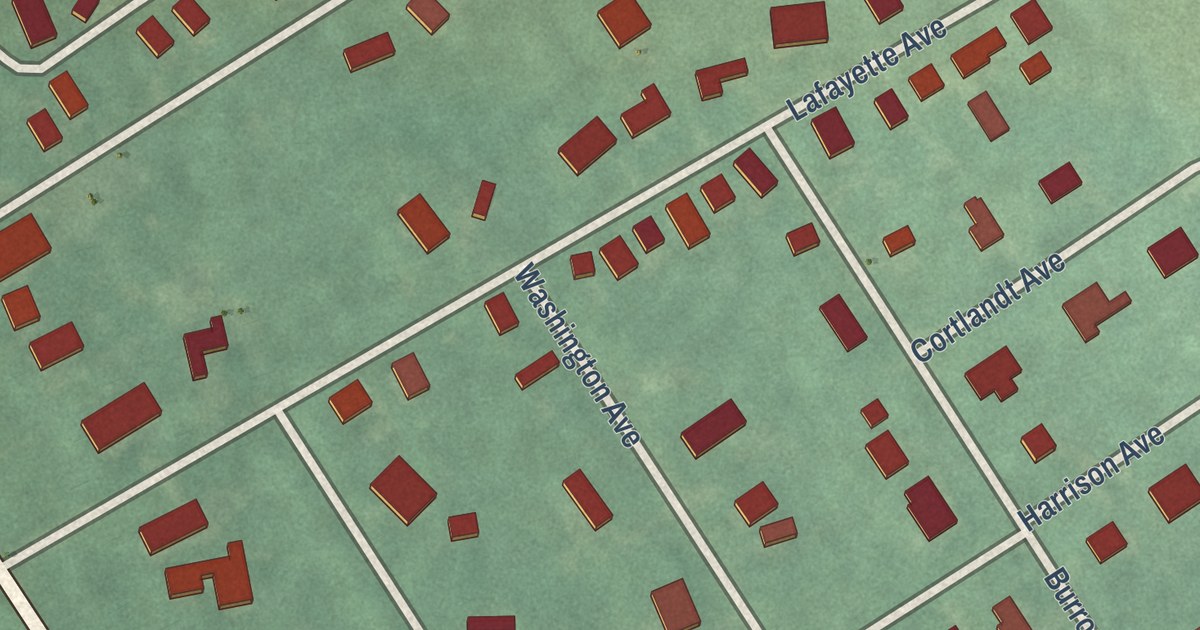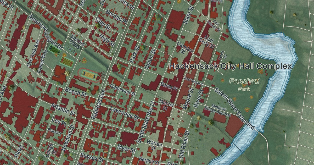
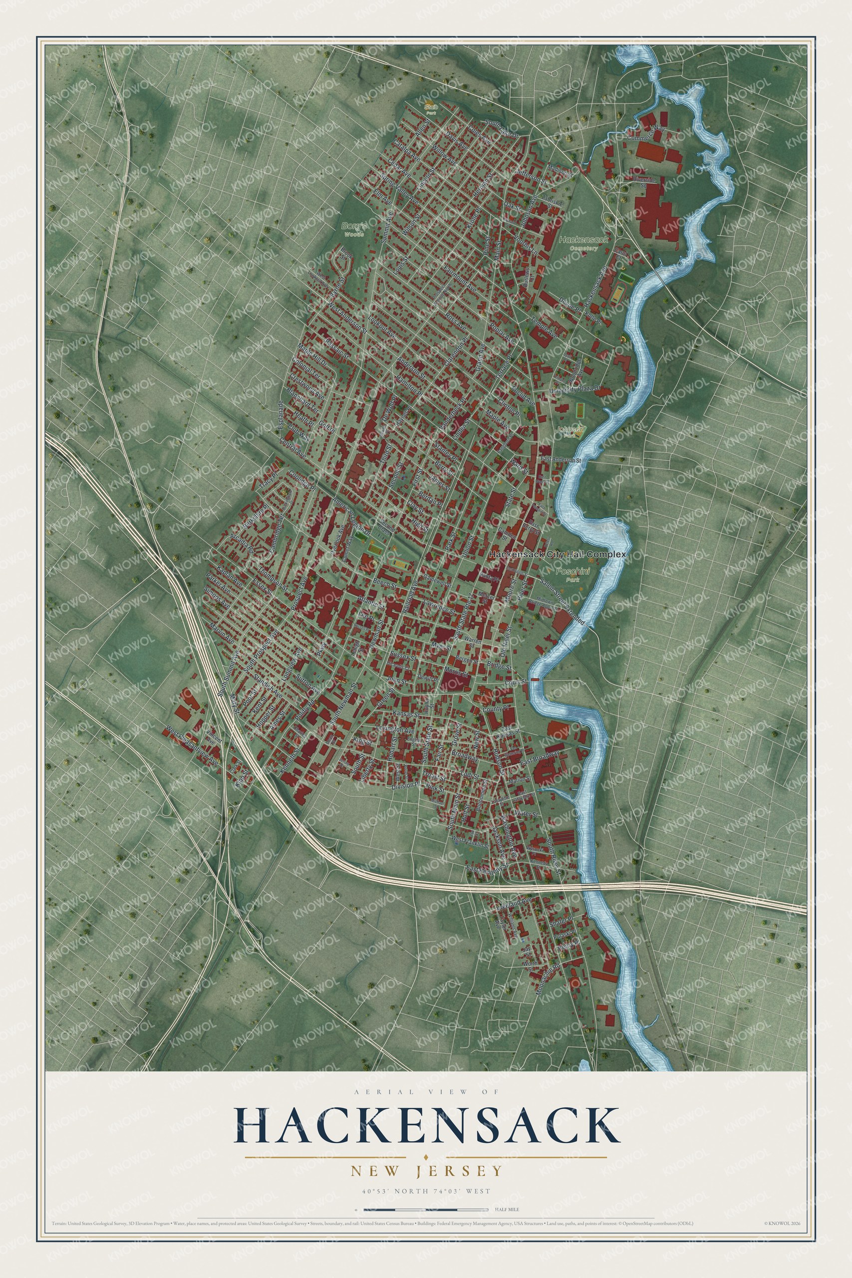
This beautifully detailed map of Hackensack, New Jersey was created in 2026 using aerial imagery combined with modern topographical, census, street and landmark data. It’s a one-of-a-kind view of Hackensack that combines accurate data with a vintage aesthetic. The map shows every building in its true location, many of the roads carry their names, and the shaded topographic relief shows the shape of the land.
Explore an aerial view of Hackensack, New Jersey
On the map you’ll find Hackensack City Hall Complex, Borg’s Woods, Foschini Park, Hackensack Cemetery, Johnson Park, Staib Park, Salem Street Extended, and Division Place, along with West Anderson Street, Moonachie Road, Main Street, Summit Avenue, and more. If you look closely you can even find your house accurately drawn in its correct location. Zoom in on the preview to look for yours.
Did You Know?
In November 1776, George Washington made his headquarters in the village of Hackensack. He was retreating from Fort Lee. On November 20, his troops camped on The Green, across from the First Dutch Reformed Church. Later, on March 23, 1780, a British raid burned the original courthouse.
Take a closer look at the Hackensack map
Names on this map
These names are printed on this map.
Places: Hackensack City Hall Complex, Borg's Woods, Foschini Park, Hackensack Cemetery, Johnson Park and Staib Park.
Streets and roads: West Anderson Street, Salem Street Extended, Division Place, Moonachie Road, Main Street, Summit Avenue, Railroad Avenue, Hudson Street, South River Street, Prospect Avenue, Essex Street, River Street.
More street names, A to Z
Allen Street, American Legion Drive, Ames Street, Anderson Street, Arcadia Road, Atlantic Street, Banta Place, Beech Street, Berdan Place, Bergen Street, Berkshire Place, Berry Street, Blanchard Terrace, Bonhomme Street, Bridge Street, Broadway, Brook Street, Buckingham Drive, Burlews Court, Byrne Street, Cambridge Terrace, Camden Street, Carol Court, Catalpa Avenue, Cedar Avenue, Central Avenue, Charles Street, Clarendon Place, Clark Street, Clay Street, Clinton Place, Club Way, Coles Avenue, Colonial Terrace, Comet Way, Commerce Way, Coolidge Place, County Place, Court Street, Crestwood Avenue, Davis Avenue, Dean Street, Devoe Place, Dewitt Place, De Wolf Place, Dewolf Place, Dicarolis Court, Dyatt Place, East Anderson Street, East Berry Street, East Broadway, East Kansas Street, East Kennedy Street, East Lafayette Street, East Passaic Street, East Salem Street, East Ward Street, Elm Avenue, English Street, Esplanade, Euclid Avenue, Fairmount Avenue, Fair Street, First Street, Gamewell Street, Golf Place, Grand Avenue, Green Street, Grove Street, Hackensack Avenue, Hamilton Place, Haynes Place, Heath Place, Henry Place, Herman Street, High Street, Hobart Street, Holt Street, Hopper Street, Huyler Street, Ise Street, Jackson Avenue, James Street, Jay Street, Jefferson Street, Jersey Place, Johnson Avenue, John Street, Kansas Street, Kaplan Avenue, Kennedy Street, Kenneth Street, Kent Street, King Street, Kipp Street, Kotte Place, Krone Place, Lafayette Street, Lawrence Street, Lee Place, Lehigh Street, Lexington Avenue, Liberty Street, Lincoln Street, Linden Street, Lodi Street, Longview Avenue, Lookout Avenue, Louis Street, Madison Street, Maple Avenue, Maple Hill Drive, Marion Street, Marvin Avenue, Mary Street, Mercer Street, Michael Street, Midtown Bridge Approac, Moore Street, Morris Street, Myer Street, Newman Street, New Street, Oak Street, Old River Street, Orchard Street, Overlook Avenue, Pangborn Place, Parker Avenue, Park Street, Parkway, Passaic Street, Peters Road, Pine Street, Pink Street, Polifly Road, Poor Street, Poplar Avenue, Porter Street, Prospect Avenue North, Pulaski Place, Riverside Square, Ross Avenue, Russell Place, Second Class, Second Street, Shafer Place, Simons Avenue, South Lake Drive, South Main Street, South Newman Street, South Prospect Avenue, South State Route 17, South State Street, South Street, South Summit Avenue, Spring Valley Avenue, Standish Avenue, Stanley Place, State Street, Sussex Street, Sutton Avenue, Taylor Avenue, Temple Avenue, Terhune Place, Terrace Place, Third Street, Thompson Street, Tracy Place, Troast Street, Union Street, University Plaza Drive, Vanderbeck Place, Van Wettering Place, Vincent Avenue, Voorhis Lane, Vreeland Avenue, Ward Street, Warren Street, Washington Avenue, Water Street, West Franklin Street, West Lookout Avenue, West Pleasantview Avenue, West Street, Williams Avenue, Willow Avenue, Wilson Street, Woodridge Avenue, Worth Street, Wysocki Place, Zabriskie Street.
See it on a wall
The Hackensack map as an 18 x 24 inch print in a black frame.

This beautifully detailed map of Hackensack makes an attractive addition to your office, library, or den, and it can even be used to teach children the geography and history of the area. It also makes a great gift for anyone with Hackensack roots. When you’re done exploring, click here to get your copy of the Hackensack map.