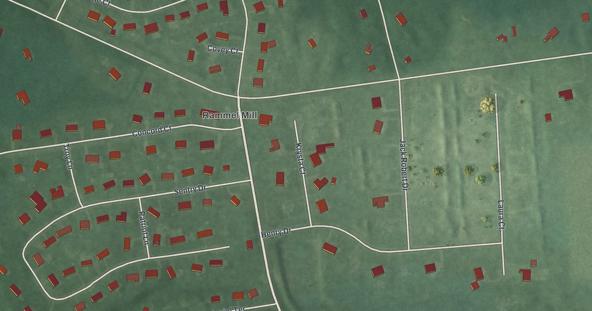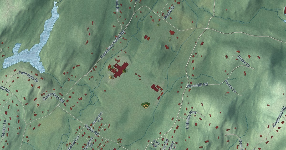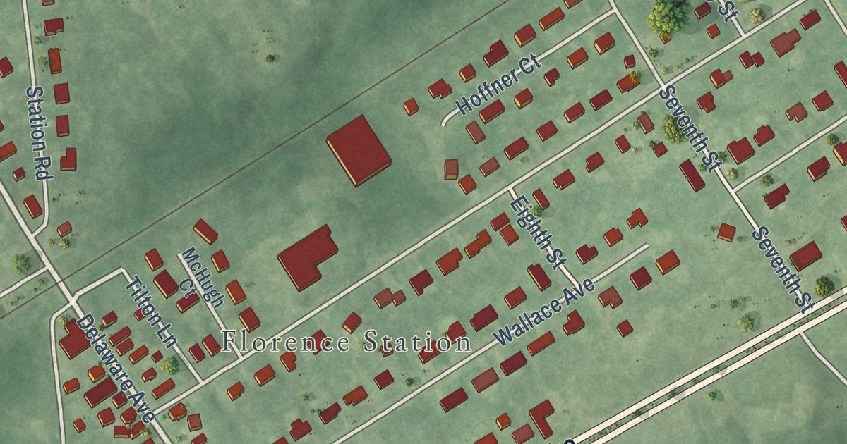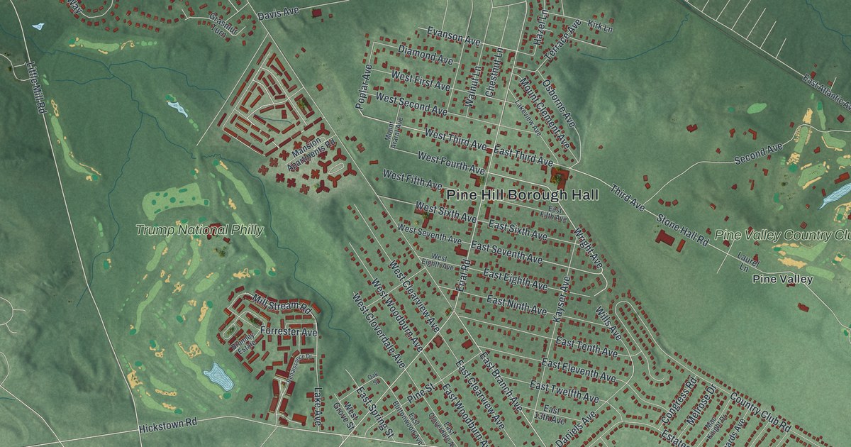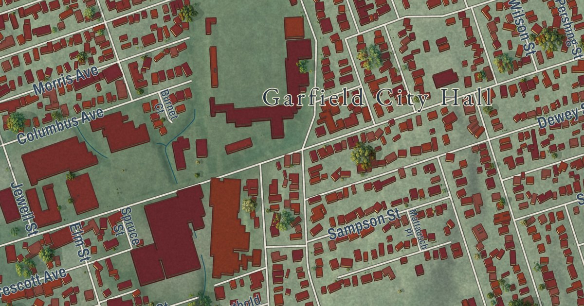
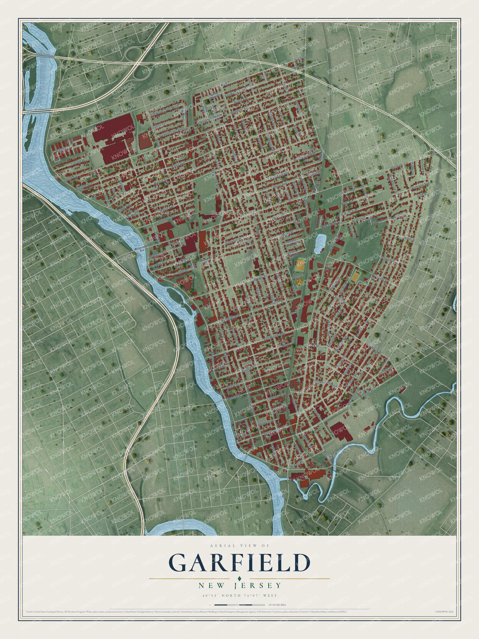
This beautifully detailed map of Garfield, New Jersey was created in 2026 using aerial imagery combined with modern topographical, census, street and landmark data. It’s a one-of-a-kind view of Garfield that combines accurate data with a vintage aesthetic. The map shows every building in its true location, many of the roads carry their names, and the shaded topographic relief shows the shape of the land.
Explore an aerial view of Garfield, New Jersey
On the map you’ll find Garfield City Hall, Belmont Hill Park, and Saint Peter’s Cemetery, along with Macarthur Avenue, River Drive, Midland Avenue, Palisade Avenue, Outwater Lane, Harrison Avenue, Lanza Avenue, Banta Avenue, Semel Avenue, and more. If you look closely you can even find your house accurately drawn in its correct location. Zoom in on the preview to look for yours.
Did You Know?
Gilbert D. Bogart built the first seven homes here in 1873, and the place was called East Passaic. In 1881 the community was renamed Garfield to honor President James Garfield. The president died that same year, but the town kept his name.
Take a closer look at the Garfield map
Names on this map
These names are printed on this map.
Places: Garfield City Hall.
Streets and roads: Macarthur Avenue, River Drive, Midland Avenue, Palisade Avenue, Outwater Lane, Harrison Avenue, Lanza Avenue, Banta Avenue, Semel Avenue, Passaic Street, Malcolm Avenue, Gaston Avenue.
More street names, A to Z
Ackerman Avenue, Alaska Street, Albert Street, Alpine Street, Ann Street, Arnot Street, Aster Lane, Atlantic Street, Autumn Lane, Barthold Street, Beech Street, Bellport Place, Belmont Avenue, Bergen Street, Blakely Place, Bloomingdale Avenue, Bogart Avenue, Botany Street, Boulevard, Burnet Court, Cambridge Avenue, Cedar Street, Center Court, Charles Street, Cherry Street, Chestnut Street, Clark Street, Columbus Avenue, Commerce Street, Cottage Place, Dahnert Park Lane, Davison Street, Dewey Street, Dewitt Street, Division Avenue, Dolphine Parkway, Dye Avenue, Elizabeth Street, Elm Street, Emanual Street, Erie Street, Faber Place, Farnham Avenue, First Street, Franklin Avenue, Frederick Street, Garden Court North, Garden Court South, Garfield Avenue, Garwood Court East, Garwood Court North, Garwood Court South, Grace Avenue, Grand Street, Harding Court, Hartmann Avenue, Henrietta Street, Hepworth Place, Herman Street, Highland Avenue, High Street, Hillside Terrace, Hobart Place, Hudson Street, Iris Lane, Irving Place, Jacob Street, Jefferson Street, Jewell Street, Joanne Terrace, John Street, Karl Place, Krakow Street, Leonard Street, Lincoln Place, Lizette Street, Louise Street, Mac Arthur Avenue, Macdonald Street, Madeline Avenue, Madonna Place, Main Street, Maitland Place, Manner Avenue, Maple Street, Market Street, Marsellus Place, Mattausch Place, Meyer Street, Monroe Street, Morrell Place, Morris Avenue, Naples Place, New Schley Street, Northview Terrace, Oak Street, Orchard Street, Pacific Avenue, Park Avenue, Pershing Street, Pierre Avenue, Plauderville Avenue, Pleasant Avenue, Prescott Avenue, Prospect Street, Railroad Place, Ray Street, Riverside Place, Sampson Street, Schley Street, Scudder Street, Second Street, Seifert Street, Shaw Street, Sherman Place, Somerset Street, Spencer Place, Spring Garden Lane, Spring Street, Spruce Street, Steinberg Avenue, Summit Avenue, Terrace Place, Union Avenue, Van Bussum Avenue, Van Winkle Avenue, Victor Street, Walnut Street, Washington Place, Wendy Terrace, Wessington Avenue, West Dolphine Parkway, Westervelt Place, Westminster Place, Willard Street, Williams Street, Willow Street, Wilson Street, Wood Street.
See it on a wall
The Garfield map as an 18 x 24 inch print in a black frame.

This beautifully detailed map of Garfield makes an attractive addition to your office, library, or den, and it can even be used to teach children the geography and history of the area. It also makes a great gift for anyone with Garfield roots. When you’re done exploring, click here to get your copy of the Garfield map.