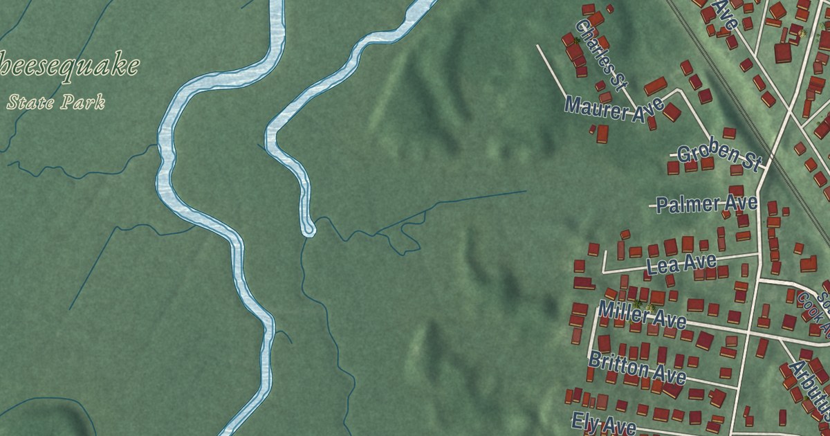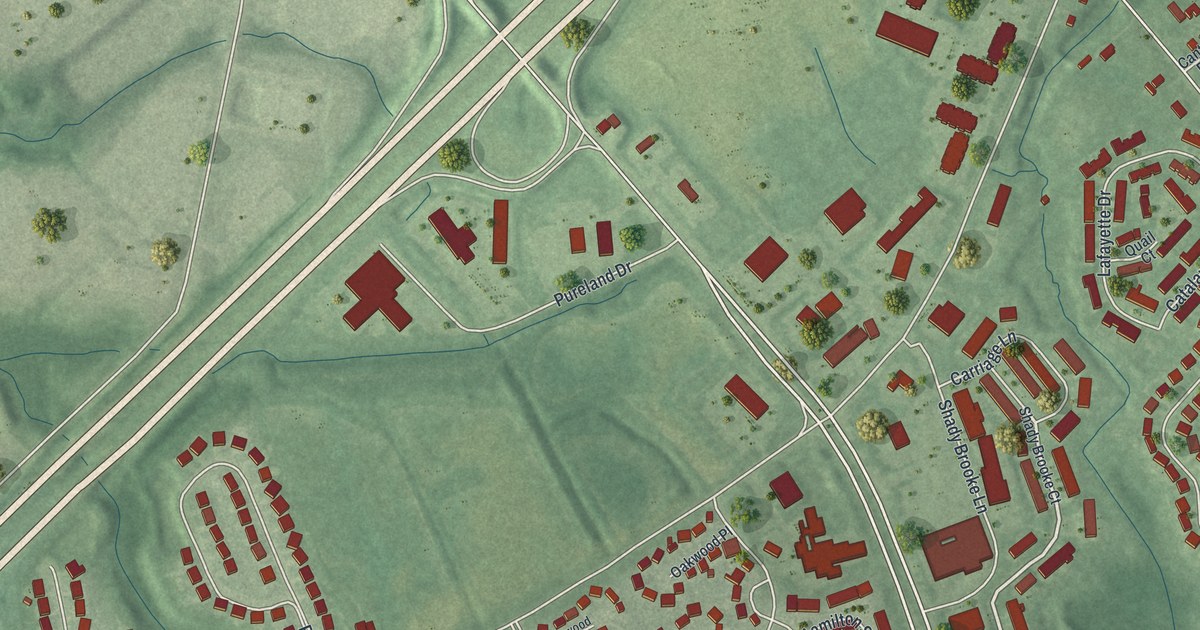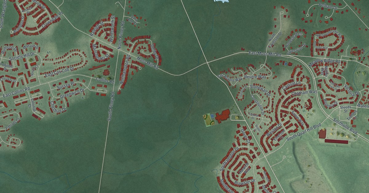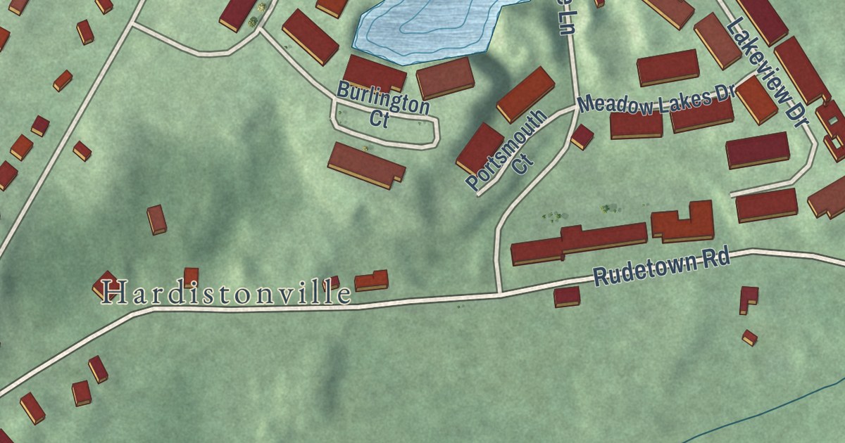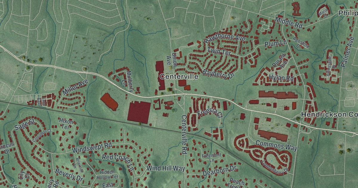
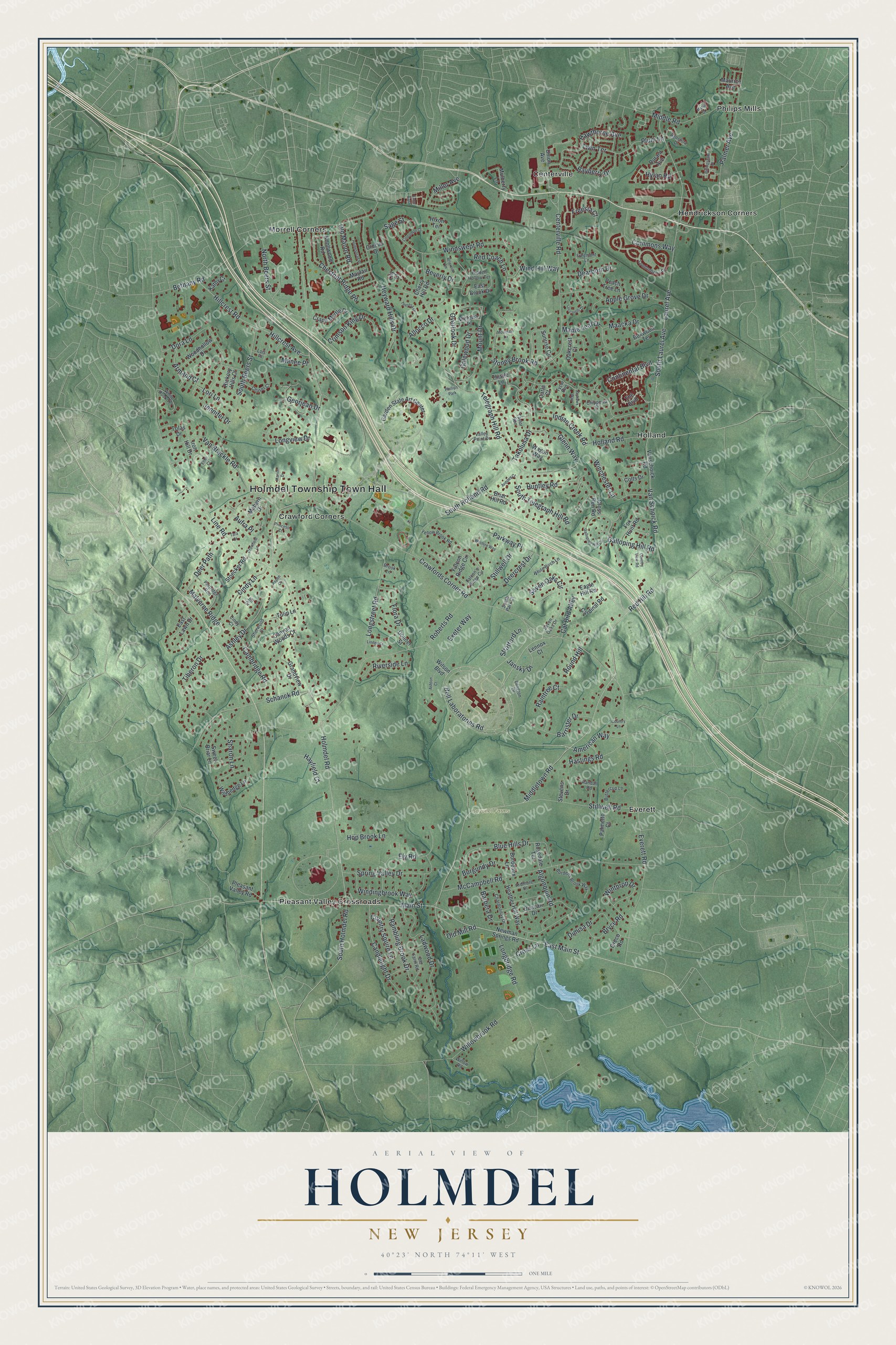
This beautifully detailed map of Holmdel, New Jersey was created in 2026 using aerial imagery combined with modern topographical, census, street and landmark data. It’s a one-of-a-kind view of Holmdel that combines accurate data with a vintage aesthetic. The map shows every building in its true location, many of the roads carry their names, and the shaded topographic relief shows the shape of the land.
Explore an aerial view of Holmdel, New Jersey
On the map you’ll find Holmdel Township Town Hall, Bayonet Farms, Centerville, Crawford Corners, Everett, Hendrickson Corners, Holland, Morrell Corners, Philips Mills, and Pleasant Valley Crossroads, along with Bell Laboratories Road, Middletown Road, and more. If you look closely you can even find your house accurately drawn in its correct location. Zoom in on the preview to look for yours.
Did You Know?
In 1964, Bell Labs scientists Arno Penzias and Robert Wilson were doing research with the Holmdel Horn Antenna. They found evidence of the cosmic microwave background radiation, an important sign of the Big Bang. The work earned them the Nobel Prize in Physics.
Take a closer look at the Holmdel map
Names on this map
These names are printed on this map.
Places: Holmdel Township Town Hall, Bayonet Farms, Centerville, Crawford Corners, Everett, Hendrickson Corners, Holland, Morrell Corners, Philips Mills, Pleasant Valley Crossroads and Phillips Park.
Streets and roads: Bell Laboratories Road, Middletown Road, East Main Street, Red Hill Road, Van Schoick Road, Old Mill Road, American Way, Holmdel Road, Laurel Avenue, South Holmdel Road, Crawfords Corner Road, Everett Road.
More street names, A to Z
Agostina Drive, Algonquin Road, Allocco Drive, Apple Grove Drive, Ardmore Place, Ardsley Court, Armand Court, Ashley Drive, Ashton Court, Aspen Court, Aufra Place, Barbera Drive, Barrister Drive, Bayberry Drive, Bethany Road, Beverly Drive, Billingsgate Drive, Blue Hills Drive, Bordeaux Lane, Bordens Brook Way, Boxwood Terrace, Briarcliff Lane, Briar Hill Road, Brook Lane, Bryce Road, Burgundy Drive, Buttercup Lane, Cambridge Road, Candlelight Drive, Canyon Woods Court, Cardinal Road, Carla Court, Cat Bird Alley, Centerville Road, Chardonnay Drive, Chaser Court, Cherry Hill Road, Chestnut Ridge Road, Chippewa Court, Cindy Court, Cindy Lane, Cinnamon Court, Colts Drive, Commons Way, Continental Boulevard, Country Lane, Country Squire Lane, Country View Road, Crape Myrtle Drive, Crimson King Drive, Crocus Drive, Cross Lane, Cross Run Road, Crowfield Lane, Dearborn Drive, Deercrest Drive, Deer Path, Dimisa Drive, Donner Street, Dora Lane, Duncan Drive, Durant Avenue, Eagle Hill Road, East Brook Drive, East Lawn Drive, Echo Court, Ely Road, Exeter Way, Falcon's Ridge Circle, Falcon Ridge Circle, Flora Drive, Fox Hunt Road, Freemont Lane, Freesia Court, Galewood Drive, Galloping Hill Circle, Galloping Hill Road, Garden State Art Center, Georjean Drive, Glenn Way, Grandview Drive, Greco Road, Hastings Road, Hawthorne Avenue, Hayfield Court, Heather Hill Way, Heyward Hills Drive, Hickory Hills Court, Hidden Hollow Terrace, Hillcrest Avenue, Hillcrest Road, Hixon Terrace, Holland Road, Homestead Place, Hop Brook Lane, Huntley Road, Hylan Road, Indian Creek Road, Iron Hill Drive, Jansky Drive, Jayhawk Way, Jennifer Drive, Jill Drive, Kathy Court, Knollwood Road, Ladwood Drive, Lane East, Langton Drive, Lennox Court, Lily Court, Linden Court, Line Road, Lois Place, Londonberry Drive, Longbridge Road, Longstreet Road, Longview Drive, Lori Lane, Luccarelli Drive, Maacka Drive, Mabern Drive, Main Street, Malverne Ridge, Manee Place, Maple Leaf Drive, Maria Court, Marion Drive, Maurice Avenue, Mayfair Road, McCampbell Road, Middle Road, Miller Avenue, Mountain Lane, Mount Drive, Mulberry Lane, Newman Springs Road, North Beers Street, Oakcrest Court, Old Farm Road, Old Manor Road, Overlook Drive, Palmer Avenue, Palmetto Court, Parkway Place, Partridge Run, Peach Tree Lane, Pleasant Valley Road, Plum Lane, Princess Court, Raintree Court, Rambling Brook Drive, Randall Road, Red Coach Lane, Riverside Lane, Roberts Road, Rosedale Terrace, Round Hill, Sage Street, Schanck Road, Seven Oaks Circle, Seven Oaks Drive, Sharon Lane, Sherwood Court, South Beers Street, South Holland Road, South Laurel Avenue, South Park Court, South Telegraph Hill Road, Spring Valley Drive, Stevens Drive, Stillwell Drive, Stillwell Road, Stoecker Road, Stoney Brook Road, Stratford Lane, Sunrise Circle, Sweet Briar Lane, Takolusa Drive, Tara Court, Taylor Run, Telegraph Hill Road, The Boulevard, Theresa Drive, Thistle Lane, Tiberon Drive, Tolas Drive, Tulip Lane, Twin Terrace, Tycor Run, Union Avenue, Valley Point Drive, Van Brackle Road, Vanschoick Road, Victoria Place, Wagon Way, White Birch Lane, White Rock Terrace, Wildhedge Lane, Willowbrook Road, Willow Road, Wilshire Way, Wilson Boulevard, Winchester Lane, Wind Hill Way, Windingbrook Way, Windswept Road, Winthrop Drive, Woodhollow Drive, Yellow Brook Road.
See it on a wall
The Holmdel map as an 18 x 24 inch print in a black frame.

This beautifully detailed map of Holmdel makes an attractive addition to your office, library, or den, and it can even be used to teach children the geography and history of the area. It also makes a great gift for anyone who grew up in Holmdel or moved away. When you’re done exploring, click here to get your copy of the Holmdel map.