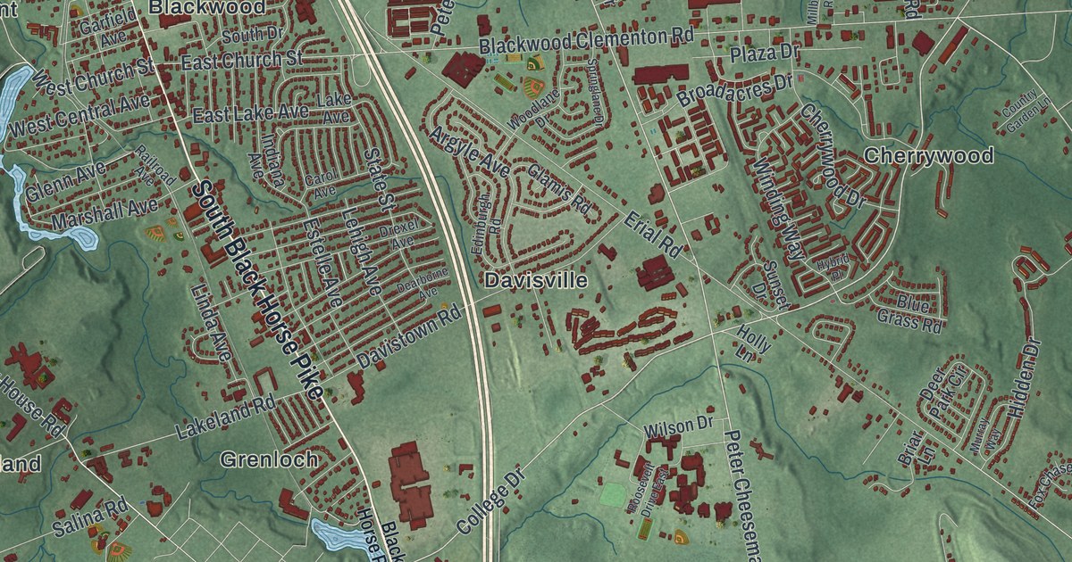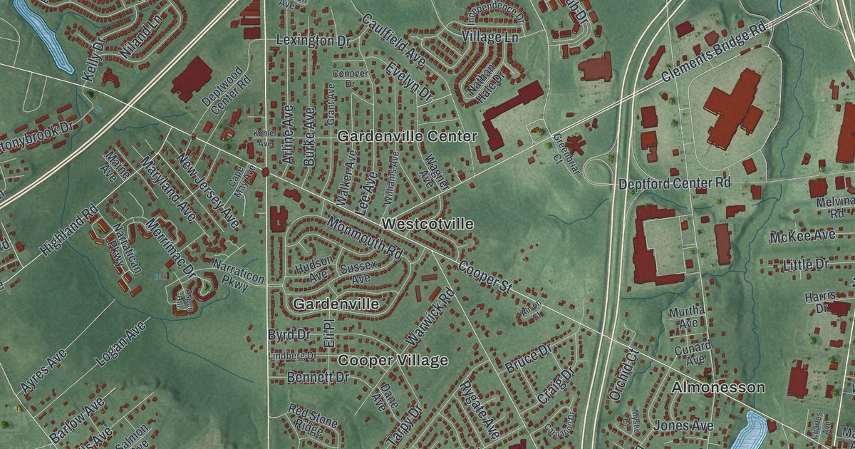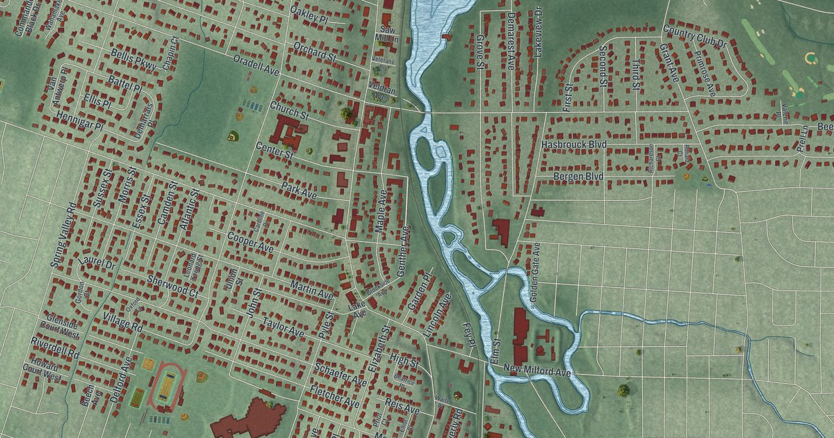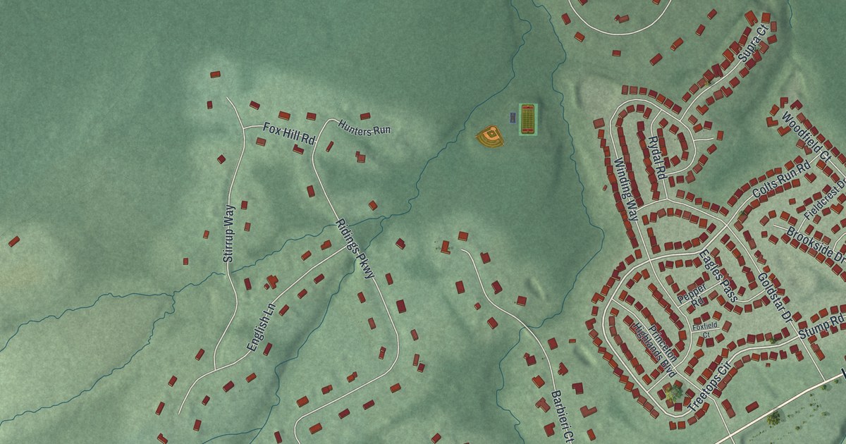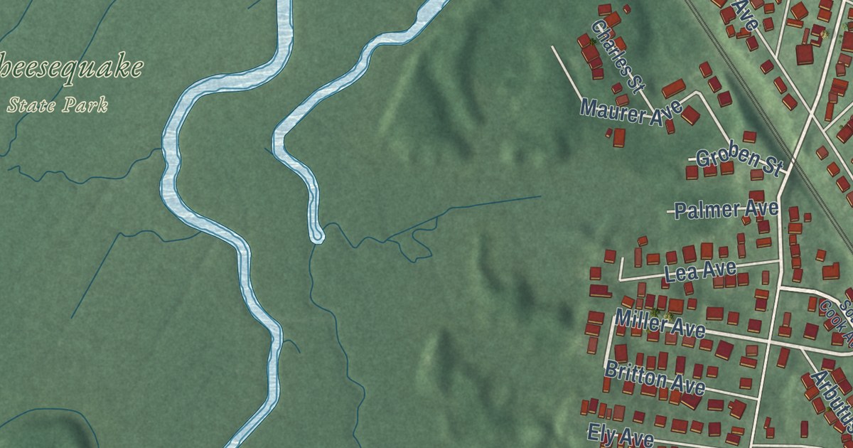
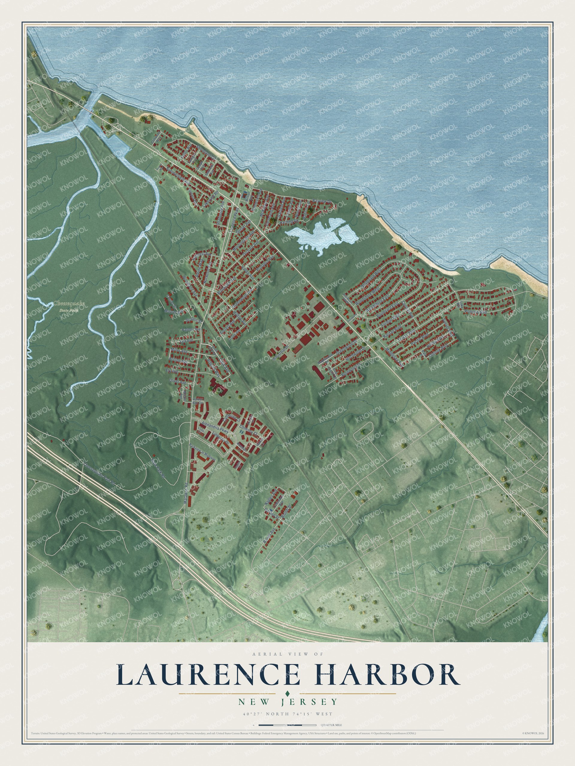
This beautifully detailed map of Laurence Harbor, New Jersey was created in 2026 using aerial imagery combined with modern topographical, census, street and landmark data. It’s a one-of-a-kind view of Laurence Harbor that combines accurate data with a vintage aesthetic. The map shows every building in its true location, many of the roads carry their names, and the shaded topographic relief shows the shape of the land.
Explore an aerial view of Laurence Harbor, New Jersey
On the map you’ll find Cheesequake State Park, along with Matawan Road, Cook Avenue, Laurence Parkway, Miller Avenue, Birchwood Drive, Furman Boulevard, Biondi Street, Lakeview Road, Cheesequake Park Road, Bayview Drive, Outlook Boulevard, and more. If you look closely you can even find your house accurately drawn in its correct location. Zoom in on the preview to look for yours.
Did You Know?
Laurence Harbor is named for developer Laurence Lamb. At the turn of the 20th century he bought land here and built a shorefront golf and country club. Clark Gable, the Vanderbilts, Guy Lombardo and the Prince of Wales came to party and eat local oysters. In 1928 the club was sold for bungalows.
Take a closer look at the Laurence Harbor map
Names on this map
These names are printed on this map.
Places: Cheesequake State Park.
Streets and roads: Matawan Road, Cook Avenue, Laurence Parkway, Miller Avenue, Birchwood Drive, Furman Boulevard, Biondi Street, Lakeview Road, Cheesequake Park Road, Bayview Drive, Outlook Boulevard, Naples Avenue.
More street names, A to Z
Alexandria Parkway, Alpine Way, Arbutus Way, Biondi Avenue, Boulevard East, Boulevard South, Boulevard West, Britton Avenue, Brookside Avenue, Capica Court, Catherine Court, Central Avenue, Charles Street, Chimney Court, Cleveland Avenue, Cliffwood Way, Columbus Avenue, Crestwood Place, Ely Avenue, Forrest Avenue, Garfield Avenue, Gordon Street, Greenwood Avenue, Greenwood Drive, Groben Street, Grove Avenue, Hanna Lane, Harbor Bay Circle, Harbor Way, Harding Road, Hillcrest Avenue, Hilltop Avenue, Hilltop Boulevard, Industrial Drive, Lake Avenue, Lantana Way, Lea Avenue, Linbrook Drive, Lincoln Avenue, Linda Court, Madison Avenue, Maplewood Drive, Maurer Avenue, McKinley Avenue, Meeker Avenue, Middlesex Avenue, Monroe Avenue, Morningside Avenue, Norwood Avenue, Ocean Avenue, Ocean Boulevard, Oliver Avenue, Orchard Avenue, Pacific Boulevard, Palmer Avenue, Park Place, Parkview at Madison, Pine Island Terrace, Pomona Boulevard, Prospect Avenue, Raritan Boulevard, Rondell Lane, Roosevelt Avenue, Rosewood Drive, Rowan Way, Rozalyn Lane, Seaview Avenue, Shadyside Avenue, Shoreland Circle, South Cook Avenue, State Park Road, Summerfield Avenue, Sunset Avenue, Sunset Boulevard, Twilight Avenue, Valley Avenue, Wilson Avenue, Woodland Avenue, Woodshore East, Woodshore West.
See it on a wall
The Laurence Harbor map as an 18 x 24 inch print in a black frame.

This beautifully detailed map of Laurence Harbor makes an attractive addition to your office, library, or den, and it can even be used to teach children the geography and history of the area. It also makes a great gift for someone who left Laurence Harbor and still calls it home. When you’re done exploring, click here to get your copy of the Laurence Harbor map.