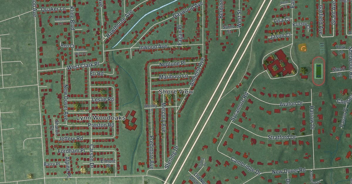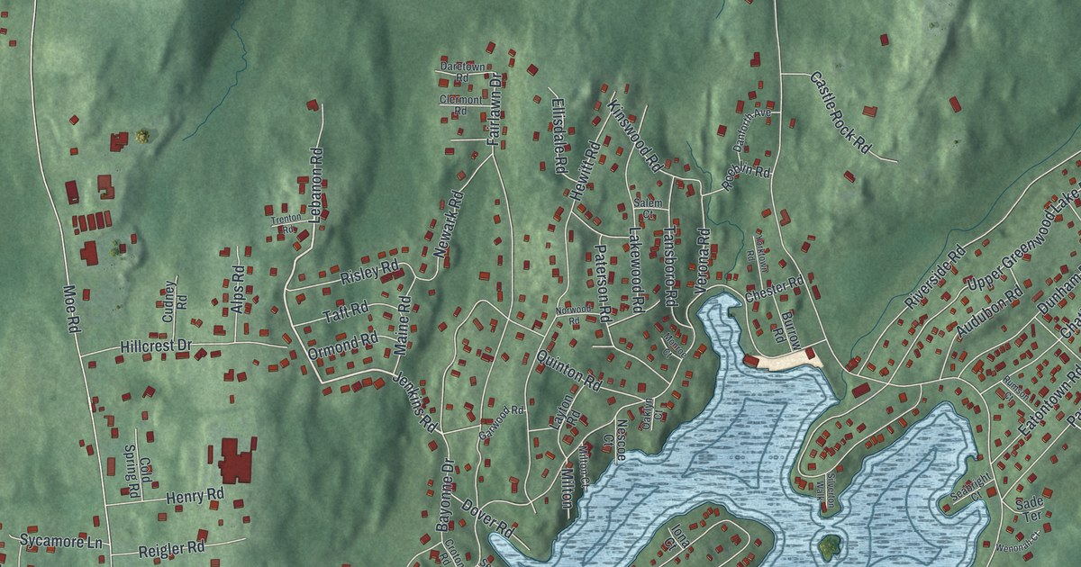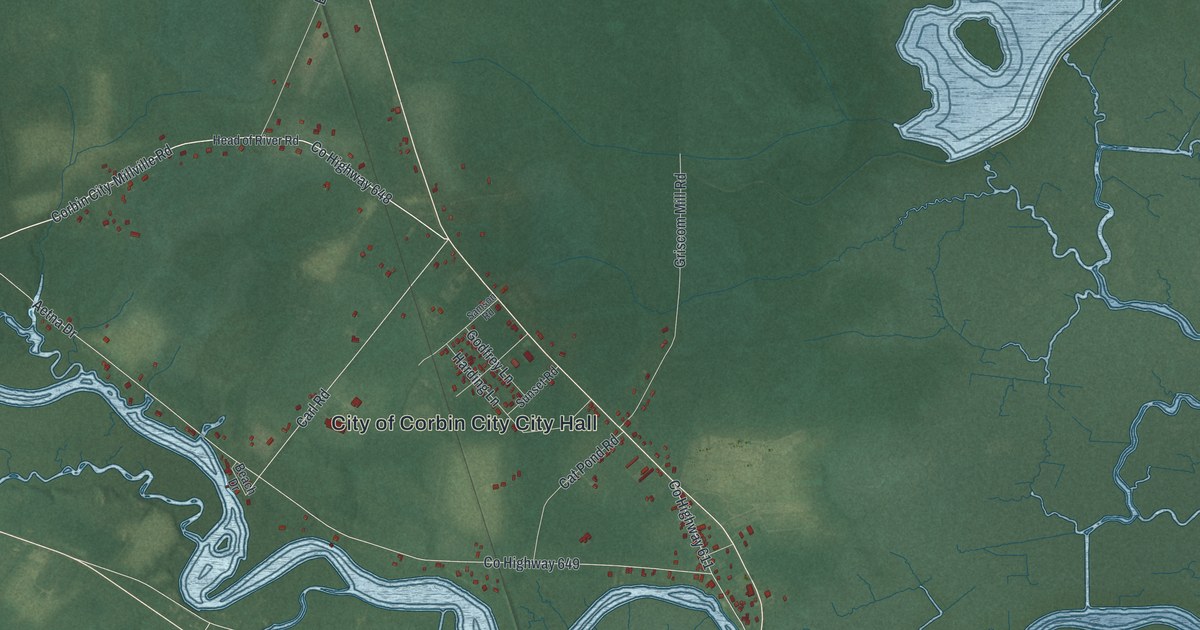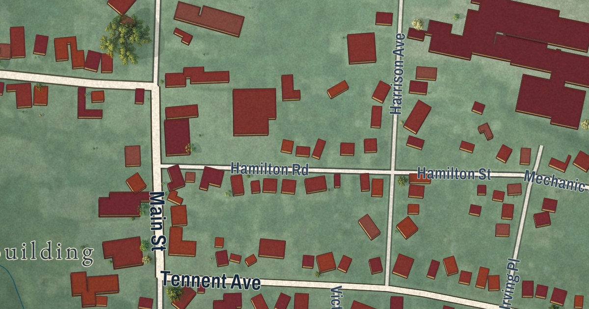
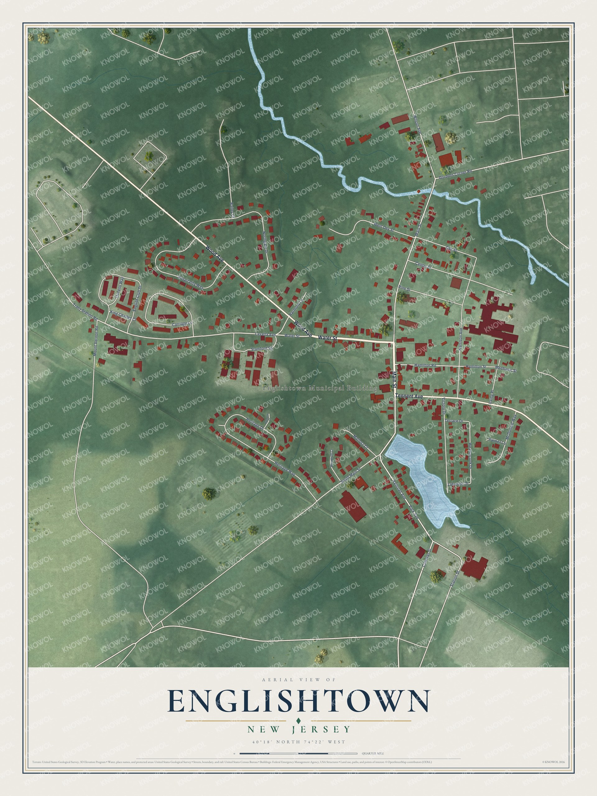
This beautifully detailed map of Englishtown, New Jersey was created in 2026 using aerial imagery combined with modern topographical, census, street and landmark data. It’s a one-of-a-kind view of Englishtown that combines accurate data with a vintage aesthetic. The map shows every building in its true location, many of the roads carry their names, and the shaded topographic relief shows the shape of the land.
Explore an aerial view of Englishtown, New Jersey
On the map you’ll find Englishtown Municipal Building, along with Main Street, Water Street, Wood Avenue, Tennent Avenue, Lasatta Avenue, South Main Street, Park Avenue, Dey Street, Weamaconk Drive, Railroad Avenue, Northgate Drive, and more. If you look closely you can even find your house accurately drawn in its correct location. Zoom in on the preview to look for yours.
Did You Know?
Englishtown was named for James English, an early settler. After the Battle of Monmouth in June 1778, George Washington and Lord Stirling met at the Village Inn in the center of town. In its dining room, they drew up court martial papers against General Charles Lee, who had ordered a retreat during the battle.
Take a closer look at the Englishtown map
Names on this map
These names are printed on this map.
Places: Englishtown Municipal Building.
Streets and roads: Main Street, Water Street, Wood Avenue, Tennent Avenue, Lasatta Avenue, South Main Street, Park Avenue, Dey Street, Weamaconk Drive, Railroad Avenue, Northgate Drive, Hospitality Way.
More street names, A to Z
Bailey Court, Carriage Lane, Center Street, Conover Street, English Club Drive, Gordons Corner Road, Hamilton Road, Hamilton Street, Harmony Lane, Harrison Avenue, Heritage Drive, Heritage Way, Irving Place, King Charles Court, Lakeside Drive, Matlosz Court, McDonald Way, Mechanic Street, Mount Vernon Road, Palmer Lane, Pine Street, Queens Way, Raymond Court, Stamford Square, Station Street, Terrace Drive, Tracy Station Road, Victory Drive, West Dey Street, Wilson Avenue, Woodruff Court.
See it on a wall
The Englishtown map as an 18 x 24 inch print in a black frame.

This beautifully detailed map of Englishtown makes an attractive addition to your office, library, or den, and it can even be used to teach children the geography and history of the area. It also makes a great gift for anyone with Englishtown roots. When you’re done exploring, click here to get your copy of the Englishtown map.